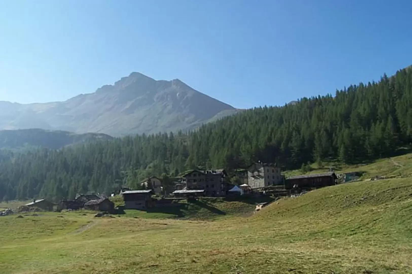
Punta di Falinière, from the Barmaz car park

Access
From the motorway exit of Châtillon/Saint-Vincent turn left and drive up the main road to a roundabout, take the second exit and proceed west on Via E. Chanoux through the centre of Châtillon, cross the Marmore stream and take first Via Menabrea to the right and then Via Martiri di Chesod before turning onto , the second exit at the characteristic roundabout with the Matterhorn in the centre.
Follow the regional road for 18.7km as far as Valtournenche where, towards the end of the village at Hotel des Neiges, turn right and climb up the municipal road to Cheneil. Follow the road for 6.5km until you reach the 🅿️ car park in Barmaz, the starting point for the hike.
The car park is ample but given the busy nature of the area it is advisable to arrive early enough on busy days to avoid having to leave your car further down the hill.
Just beyond the start of the hike there is a tourist lift, which is always in operation and allows you to save 50m on the ascent.
How to get there with GMaps
How to get there with Apple Maps
.Introduction
Summit located on the watershed between Cheneil and Chamois, wrongly enough neglected by hikers in favour of the numerous '3000' peaks that surround the beautiful Cheneil basin. An inferior peak from the altitude point of view but certainly not from the panoramic one, perhaps to be done in autumn so as to see the many colours that nature offers at that time.
Description
From the forecourt, pass to the right of the cable car and, after descending a few metres, cross a small bridge over a stream and begin the ascent on the comfortable, wide mule track that leads in a few minutes to the Cheneil basin. Having arrived in front of the old, but still active, Albergo Panorama, continue a little to the right to reach the signpost bearing the destinations of the various hikes and turn left following the signpost towards the Sanctuary of Clavalité. The path enters a small wood of alders and larches and, after having passed it, climbs with a moderate slope between rhododendron bushes and bilberries, rests on the right-hand side of the valley and reaches a fork (signpost). Take the track to the right, still following the marker (31) for the Clavalité Sanctuary, which climbs up on grassy terrain and then bends slightly to the left to enter a small valley. At its end, the path heads towards the wide depression of Col Fontana Freida (2472m), where there is a marker indicating that we should continue along the ski slope on the ridge to the left to soon reach the now obvious Clavalité Sanctuary (2635m). Passing in front of the little church, follow (signpost) for a short distance eastwards the path that, ascending from Chamois, leads to Col de Nannaz, until you come to a not very evident fork from where a faint grassy track branches off to the left (a few cairns). You now head towards a small rocky bastion from which the path starts out on the left, marked by small stone cairns, which with steep, narrow hairpin bends reaches a small ridge that you pass on the edge. This last stretch of ridge, now a little exposed, is followed on the right side (Chamois side) first on steep grassy steps and then crossing (stone cairns) a short scree slope, with a few unstable blocks, which finally reaches the wooden cross on the summit. The return is made by retracing the route of the outward journey.