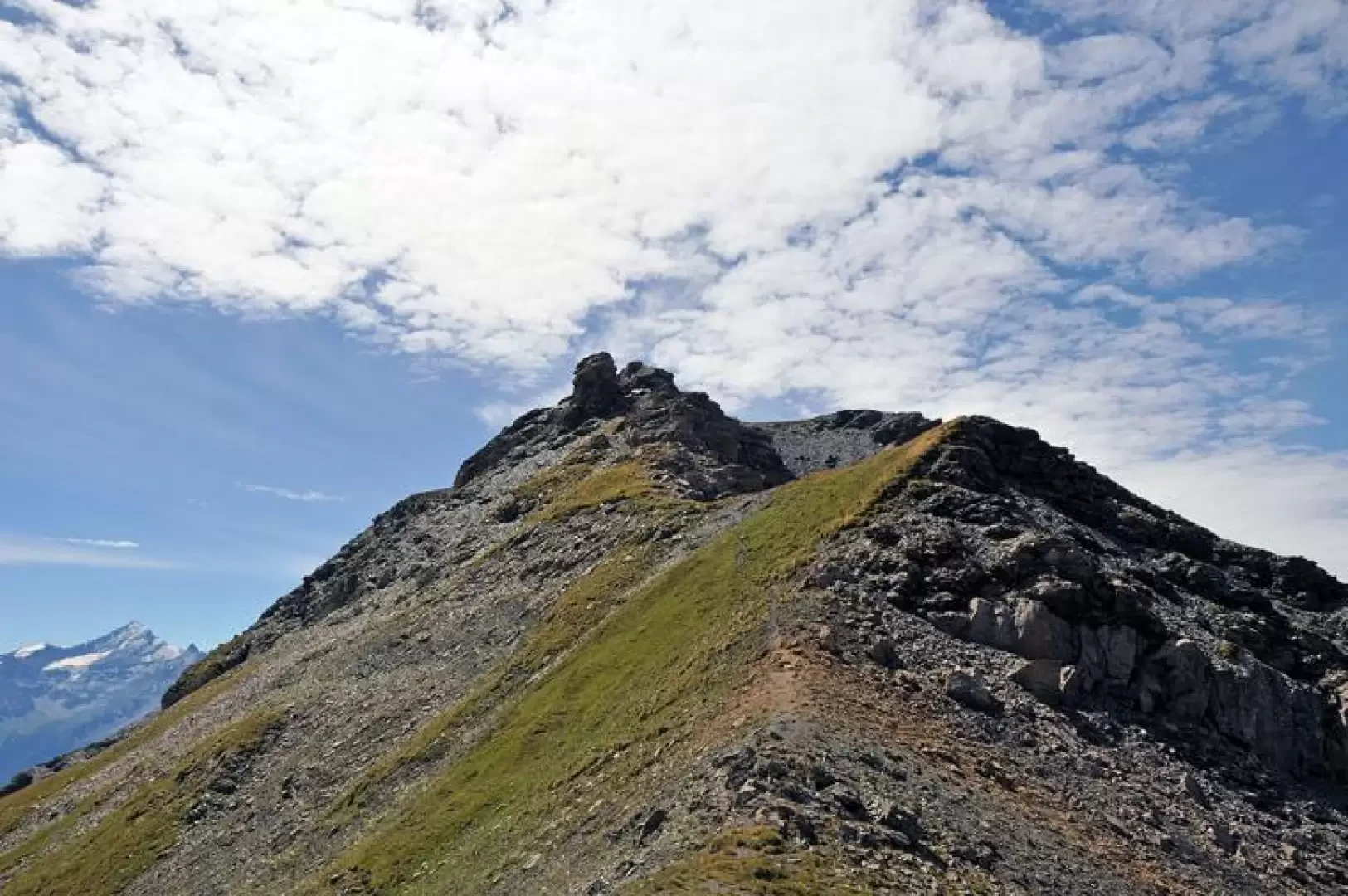
Punta Leysser, to Passo Paletta

Access
Leave the motorway and, after 450m, leave the motorway junction turning right onto the regional road for the Cogne valley. After 400m at the roundabout, take the second exit and enter the state road , to be followed for about 3km, passing through the village of Saint-Pierre, until you reach the village of Luboz. Turn right onto Via Corrado Gex (to be followed for 300m) and then turn right onto the regional road to be followed for about 7.7km until Saint-Nicolas and, just beyond the main centre, a crossroads: continue straight on the regional road following the signs for Vétan. When you reach Petit Sarriod, leave the regional road and turn left. Follow the communal road through the villages of Person, Grand-Sarriod, Gerbore until you reach, after 4.2km, Vétan and the large car park at the end of the road.
How to get there with GMaps
How to get there with Apple Maps
Introduction
Easy hike without excessive altitude difference, leading to a lake in the Vertosan valley on the slopes of Mont Rouge. You walk through a beautiful forest in the sight of the verdant pastures of the valley and the numerous alpine pastures present and, after passing Lake Leysser, you change environment completely, where the only company is silence and the chamois, easy to see, grazing on the barren slopes of Punta Leysser and Mont Rouge de Vertosan.
.Description
From the car park, we pass to the right of the lake, where there are the starting points for the itinerary, cross it and reach a farm road that after a short while presents a fork in the road. Following the signs for the lake, which make us keep to the right, passing by a high-tension pylon, we enter a beautiful beech and coniferous forest, walking, still on the farm road, with no slope to contour the western slopes of the Punta Oillette above. We walk for a long time without gaining much altitude on the track, which allows us to enjoy beautiful views of the pastures and peaks of the Vertosan valley, behind which rise the immaculate peaks of Mont Blanc and the Grandes Jorasses, until we reach a wooden sign near a hairpin bend, which takes us straight on to the lake and the Leysser comb. The farm track now turns into a wide, grassy mule track and after a short distance we come to another fork with yellow arrows on stones indicating that we should continue to the right on a path. Walk up a moderate slope into the Leysser comba, cutting across the slope halfway up and, having reached a plateau, ascend to the left, at a greater gradient, towards a grassy rampart. After crossing a stream and a few hairpin bends, you come to the basin where the Leysser Lake is located, surround it on the right and climb up to an obvious grassy saddle; here the trail cuts across a scree slope halfway up and from here you can already see the rocky peak at the bottom of the valley. From now on, the track is not very visible and one must follow the rare yellow signs and stone cairns. Continue to the left of the point, where the wide crest of the Passo di Paletta (2707m) is evident. This is reached, without many hairpin bends, on the track that slowly tends to disappear and, following the faded yellow marks, climb very laboriously almost to the perpendicular of the pass, which is reached after having overcome the last very steep section. From the stone cairn on the pass, head right (south) following a faint track that goes over the first grassy prominence on the left side of the final ridge and reaches the scree below a rock tooth that you pass on the right passing through a notch. You now rise up even steeper and more exposed scree slopes after passing a few rocky steps and arrive on the short final stretch of comfortable ridge that leads to the summit cross. There is a complete panorama of the peaks of the southern Aosta Valley and nearby Mont Fallère, while to the north there is a magnificent view of the Mont Blanc chain.