Punta Leynir
Access
Lasciare l'autostrada allo svincolo di Aosta Ovest e proseguire fino all’innesto con la strada statale . Svoltare a sinistra al semaforo e procedere in direzione Courmayeur. Superati gli abitati di Saint-Pierre e Villeneuve, dopo 6,6 chilometri imboccare sulla destra la strada regionale della Valsavarenche, che attraversa rapidamente Introd e, dopo altri 4,7 chilometri, si dirama diventando la strada regionale della Valle di Rhêmes. Risalire la vallata per 14,9 chilometri, oltrepassando Rhêmes-Saint-Georges, fino a raggiungere Bruil, capoluogo del comune di Rhêmes-Notre-Dame. La strada si inoltra nel fondovalle, supera il piccolo villaggio di Pellaud e prosegue ancora per qualche minuto, fino a raggiungere l’ampio parcheggio 🅿️ a pagamento di Thumel, situato all’inizio dei principali sentieri della zona.
La tariffa è di 50 centesimi per la prima ora e di 15 centesimi per ogni ora successiva.
Distanza e tempo di percorrenza
🕒 Tempo di percorrenza: 39 minuti
📏 Distanza: 29,6 km
Navigazione GPS
📍 Come arrivare con Google Maps
📍 Come arrivare con Apple Maps
ℹ️ Nota importante
Le indicazioni fornite sono state verificate alla data del rilievo dell’itinerario. Prima della partenza, è consigliabile verificare eventuali variazioni del percorso. Per ottenere indicazioni aggiornate e dettagliate, si consiglia l’uso di Google Maps o Apple Maps.
Introduction
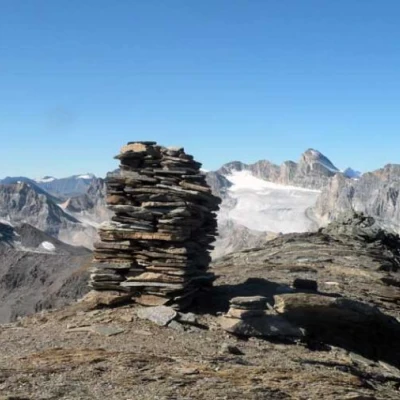
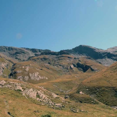
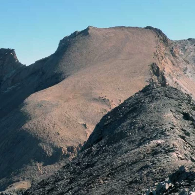
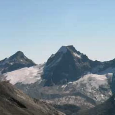
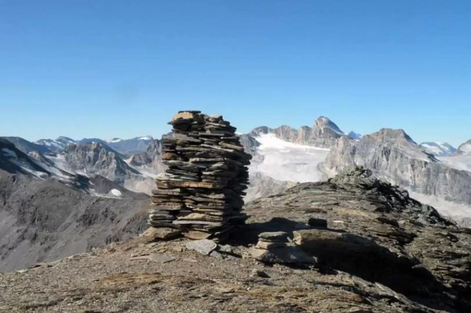
Gran bella escursione che percorre il solitario vallone di Vaudalaz raggiungendo la panoramica punta sud della Leynir che è considerata la “vera” punta con un ometto di pietre alto quasi due metri a differenza della sud che, anche se di 5 metri più alta e ad una decina di minuti di distanza, non ha nessun ometto sulla sua vetta che è spoglia.
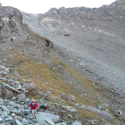
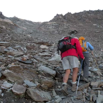
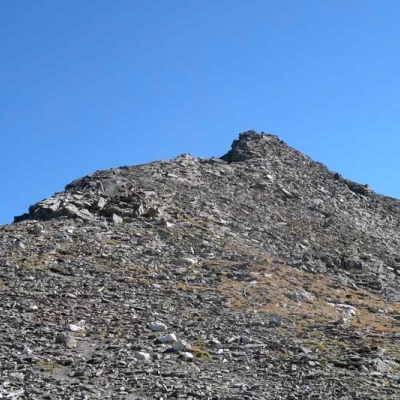
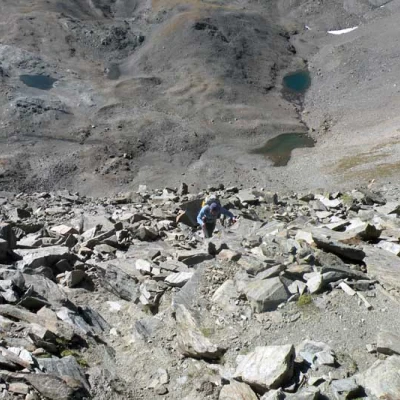
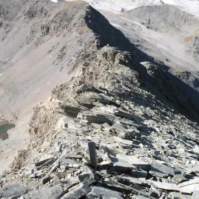
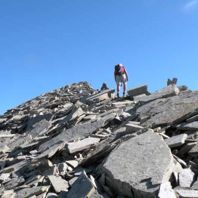
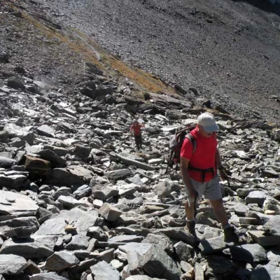
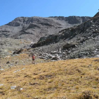
La salita è piacevole e senza eccessive pendenze sino all’inizio del pendio della pietraia che adduce al Col Rosset il quale si raggiunge faticosamente su terreno un po’ instabile e scivoloso nonché esposto su una pendenza molto forte.
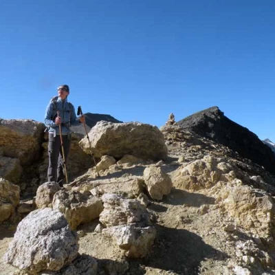
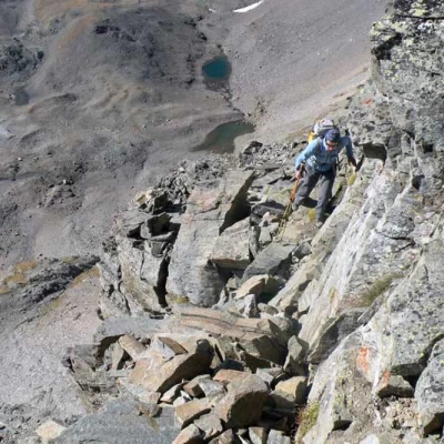
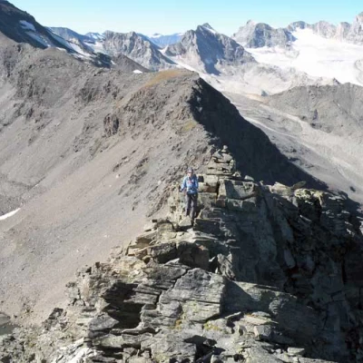
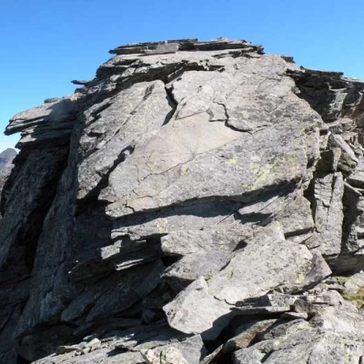
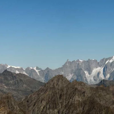
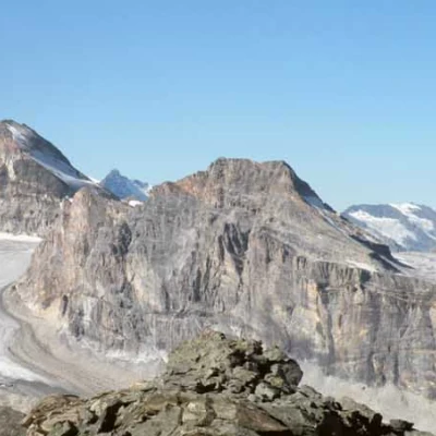
Dal colle alla vetta, poi, il percorso si fa più severo ed esposto soprattutto dalla prima anticima sino alla vetta con un passaggio un po’ delicato su una breve placca. Il panorama a 360° è eccezionale ed abbraccia oltre alle cime valdostane anche quelle piemontesi e della vicina Savoia.
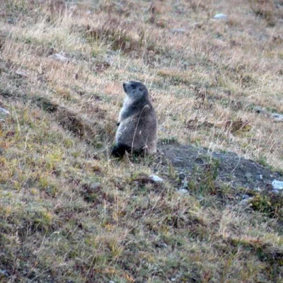
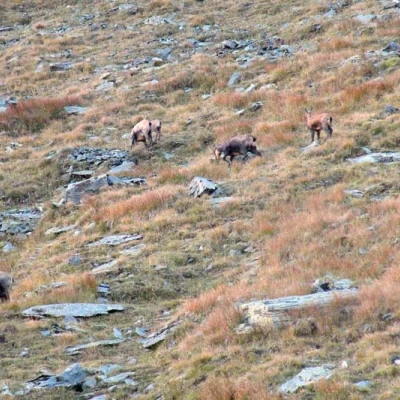
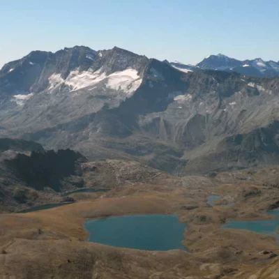
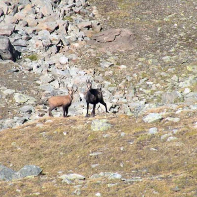
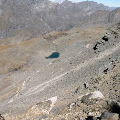
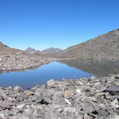
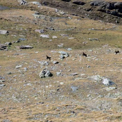
Durante tutto il percorso è altresì facile vedere numerosi esemplari di marmotte e comosci che pascolano indisturbati in questi ambienti selvaggi. Qui viene proposta anche la variante in discesa che tocca un bello e solitario lago alpino, che stranamente è ignorato da alcune mappe escursionistiche, incastonato sotto le grandi pietraie della Punta Leynir.
Description
Beautiful hike through the lonely Vaudalaz valley to reach the panoramic southern tip of the Leynir, which is considered the 'real' tip with a cairn of stones almost two metres high, unlike the south, which, although 5 metres higher and about ten minutes away, has no cairn on its summit, which is bare.
The climb is pleasant and without excessive gradients until the start of the scree slope that leads to Col Rosset, which is reached with difficulty on somewhat unstable and slippery terrain, as well as exposed on a very steep slope.
From the col to the summit, the route becomes more severe and exposed, especially from the first summit summit summit, with a somewhat delicate passage on a short slab. The 360° panorama is exceptional and embraces not only the peaks of the Aosta Valley but also those of Piedmont and nearby Savoie.
Along the entire route it is also easy to see numerous marmots and chamois grazing undisturbed in these wild environments. There is also a downhill variant that touches on a beautiful and solitary alpine lake, which is strangely ignored on some excursion maps, nestled beneath the large rocks of the Punta Leynir.
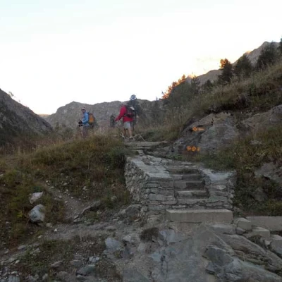
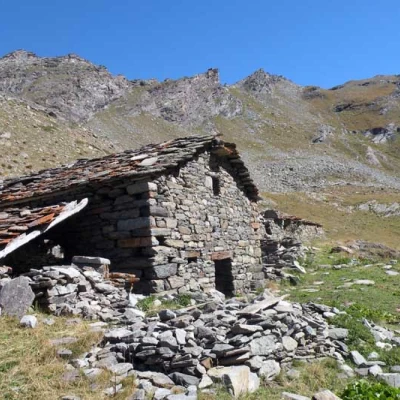
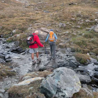
Description From the car park, continue along the tarmac road to its end, where you will find the start of the path, which rises up to a hut located just above; then continue slightly uphill around a low grassy promontory, approaching a stream, which you cross and where, on the opposite side, you will find the fork in the path (1984 m).
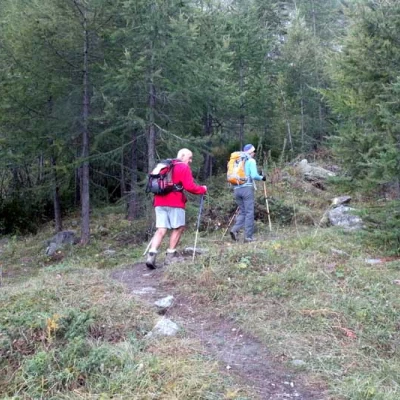
Turning left, we descend towards the stream at the bottom of the valley, which we cross on a wooden bridge, meeting another fork (1992 m) at which we keep to the right. We now continue through the sparse woodland with many hairpin bends where the gradient increases markedly, climbing up a wide gully into the long Vaudalaz valley; here the path flattens out decisively, passing by a ruin (2325 m) and soon reaching the huts of Grand Vaudalaz (2345 m) situated among the pastures in the lower part of the valley.
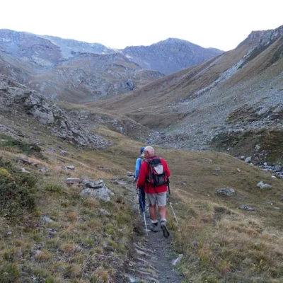
On the way, which continues on a gentle slope halfway up, we pass a fork in the path near a stream where we ignore the path that branches off to the right (2367 m); we then make a few ups and downs between the rises, taking the right and then, having reached the upper part of the valley, keeping to the left to climb up towards a grassy slope to the right of which is a low rocky bastion.
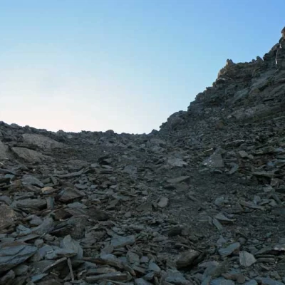
Turning to the base of the latter, continue, with a traverse, towards a large scree slope that you do not cross but, rounding a low rocky promontory, keep to the left and begin the strenuous ascent towards the col. Here the terrain and the environment change decidedly, having to walk laboriously on very steep ground of crushed stone and fine detritus on a path that, with many narrow hairpin bends, rises moving now to the left and now to the right of the slope of stones.
Passing above a rocky point, you make a few slightly exposed passages passing under a whitish rock to face the last steep section of the path that in a few minutes leads to the panoramic Col Rosset (3024 m). From the crest, take the track that climbs to the left and immediately arrives at a shoulder that precedes the slope that must be climbed to reach the first anticima; this is reached first by walking along the wide ridge and then, when this becomes a little steeper, moving to the right by walking along a faint track that winds along the stony flank.
At the bottom of the peak, climb directly and laboriously towards the ridge, which is reached just before the summit, which is reached after a short traverse on an exposed ledge (3157m). From this summit, surmounted by a small stone cairn, descend a few metres to reach a sloping slab, which can be climbed over; after this easy passage, take the ridge again and easily traverse it on the broken rocks just to the left of the edge, reaching the large cairn on the south point in a few minutes.
For the descent, as well as following the same itinerary as the ascent, you can alternatively make the following short variation, deviating briefly from the path. Once you have descended the steep slope below the pass, take the path again up to an altitude of about 2770 m, reaching a scree slope at the end of which there is a large square rock with a cairn above it; go over this and you will reach the next cairn above a hump, on the right of which is a solitary alpine lake (2789 m), which lies below the western slopes of Punta Leynir.
From the lake, continue towards a col to the north where there is another cairn of stones (2790 m) and from this, without continuing the traverse to the right that leads to the Vaudalettaz valley, descend easily to the left along some convenient ledges to overcome a low rampart.
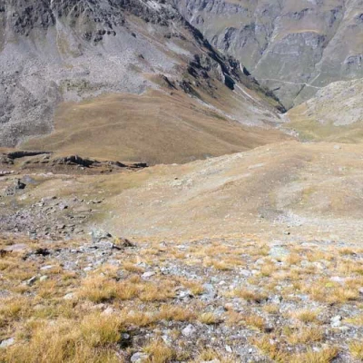
From here, descend without any obligatory route along the wide grassy slopes, keeping gradually to the left and aiming for the outward path which is clearly visible at the bottom of the valley; once you have reached it, follow the outward route and thus return to the starting point.
