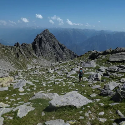
The two Colino Passes, from Poira
Access
From Milan to Morbegno along state roads 36 and 38; at the roundabout at the entrance to the town turn left towards "Costiera dei Cech". Drive along the provincial road which, after passing through the villages of Dazio, Vallate, Serone, Chempo and Roncaglia, reaches Poira. Park in a square near a small church and a football field.
.Introduction
Trip of an 'exploratory' nature through the wide spaces of the upper Val Toate: finding the two passes - never visible from the bottom of the valley - provides a clear view of an area that is always very 'simplified' on maps and the few guidebooks that deal with it. The absence of signposts on the ground makes optimal visibility indispensable for correct orientation: beyond the Passo del Colino Orientale there are only sporadic large cairns of stones, built by shepherds and hunters in culminating positions. The practical excursionist usefulness of these passes is limited to the very long crossings towards the Valle dei Ratti and the distant Val Masino: these are always routes that take more than 10 hours.
Description
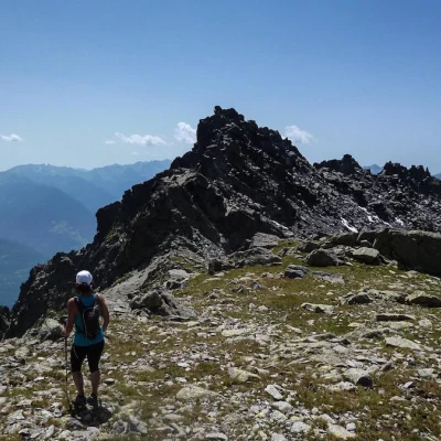
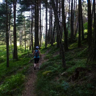
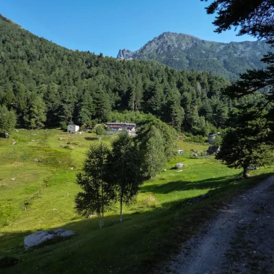
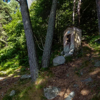
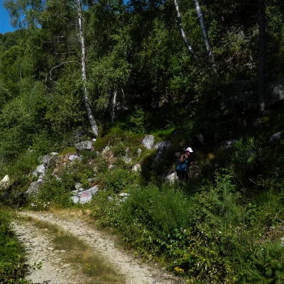
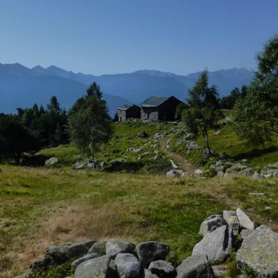
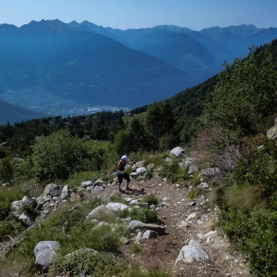
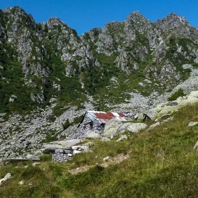
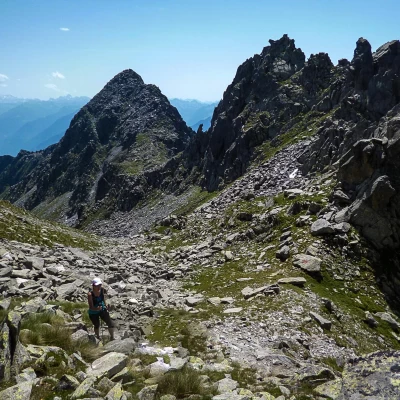
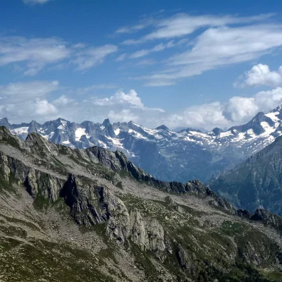
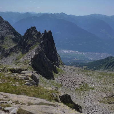
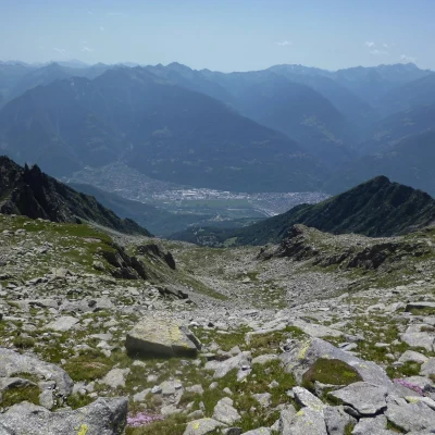
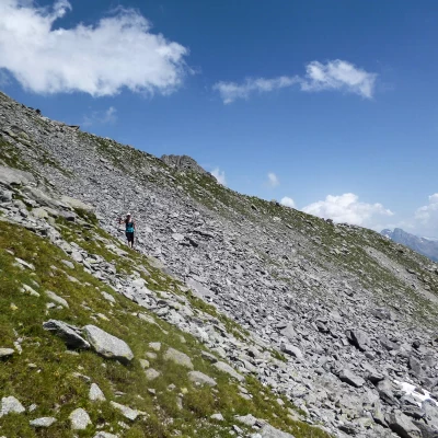
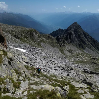
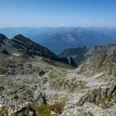
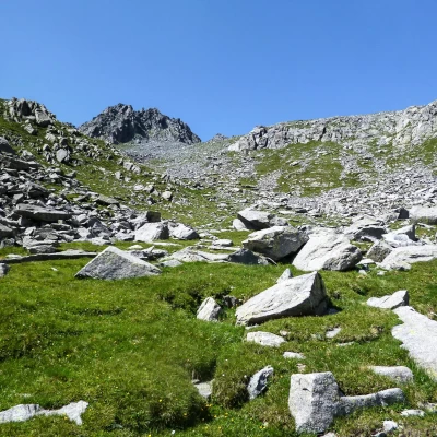
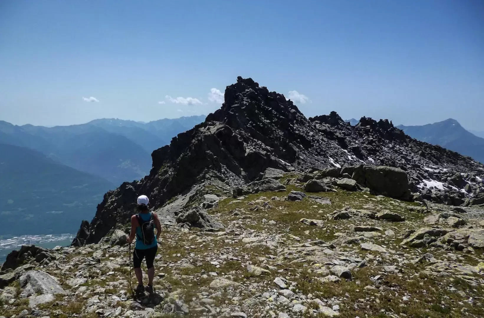
From the square in front of the little church of Poira (1077m), take the forest track that begins next to the improbable football pitch; ignoring the secondary detours inside the pine forest, you arrive at the clearing of Carecc (1153m), which you climb up on a cemented road for the steepest line. Continuing along the forest track, back into the pine forest, with various changes of direction, we arrive at Ledin (1232m), a small alpine pasture, now also home to an agritourism. Towards the mountain and near a spring with a drinking trough, the path begins in the wood to follow to the Maggengo del Pesc (1613m): the track climbs up the pine forest with regularity, alternating wide traverses with stony stretches - ancient landslides - now steepened (about halfway up, leaving a votive chapel on the right, it intercepts and crosses a firebreak track about 1350m). Past the few huts of the Pesc, the path becomes less evident, leading towards the centre of the Val Toate: a few cairns of stones lead to where the pines - centuries old - become more sparse. The trail zigzags up the pastureland slope - following the recent burying of an aqueduct that supplies all the watering holes in the valley - until it reaches the Baita Colino 1937 m; similarly, it continues - still in the centre of the valley - until it reaches the vicinity of an unnamed bait hut at about (2300m). The recent track, gradually moving to the right towards the base of the conspicuous Bering Tower, ends at the buried water intake works. The varnished signs - here a little more evident - lead you up a short stony slope to the Passo del Colino Orientale 2456m: ignoring the "Laghi" signs that lead you down into a secondary valley of the Valle Spluga, you begin to climb without a trace northwards up the steep slope of rocks, boulders and little grass. Having passed a few picturesque shelves (very panoramic towards the Masino mountains), continue the ascent towards a distant dominating cairn: having reached it, you find yourself in a hollow of boulders and residual snow at the base of the wild ridge between the two Cime del Desenigo peaks (Meridionale and Settentrionale). From here, the earthy furrow of the Passo del Colino Occidentale (2637 m) is clearly visible to the west: to reach it, it is indispensable to make a long traverse at high altitude amidst debris flows and a few rocky outcrops; the stony plateau that flanks the pass on the side of the Valle dei Ratti initially prevents a panoramic view of the valley floor: a few hundred metres towards ONO widens the view to Lake Mezzola and the Mesolcina mountains. Returning to the pass, descend towards the Val Toate along a gully of crumbly loam until you reach an ancient lake, now buried, and continue along the sparse pastureland until you come to a gigantic characteristic boulder (jutting out in the form of a cave towards the valley) located in the centre of the little valley: from here the last watering hole at the aqueduct outlet is already visible, where the ascent route is reached. Along this to the car park.
General Information
Trail:from Poira
Signposts:red/white/red, none
Type of route: partially circular
Recommended period: May, June, July, August, September, October, November
Objective hazard: loss of orientation in poor visibility
Sun exposure: south
