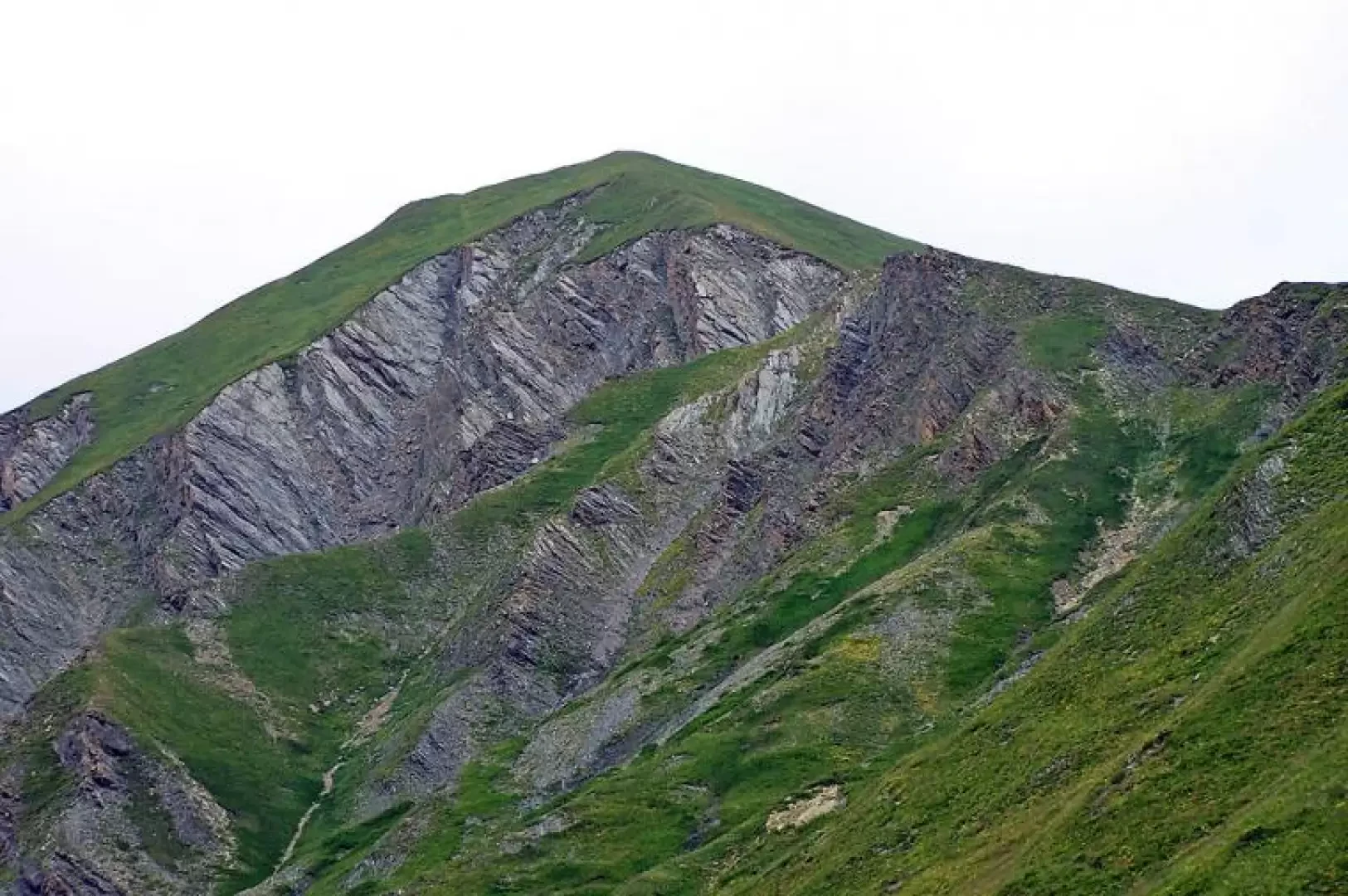
Tête Entre Deux Sauts, from Lavachey to the Bonatti Refuge

Introduction
Classic Val Ferret 'loop' that is not particularly long and tiring but offers beautiful views as well as the feeling ...
Description
Near the wooden bridge are the starting points of the itinerary, which initially climbs with comfortable bends on a wide mule track; after a short distance, you come to a fork and here you leave the mule track to the right and begin to climb along a comfortable path to the left. You walk through a forest of conifers and beeches and, after leaving the forest, you reach the scenic Bonatti hut. On the right of the latter are the signposts indicating that we should ascend in a southerly direction towards the wide Malatrà valley. The path climbs gently between the undulations of the green pastures and reaches the Malatrà desot (2054m), where our destination is in the distance. At the fork in the path at the alpine pasture, keep to the right and, continuing on the same type of terrain, you will come to another fork in the path. Leave the path to Col de Malatrà on the left and continue up the eastern flank of the Tête without an excessive incline. Gradually, one moves further to the right to arrive in sight of the wide crest of the Col Entre deux Sauts, which is reached without too much effort. At the pass, there is a marker and a small stone cairn; a few metres beyond these, there is a small stone cairn on the right of the main path, indicating the start of the grassy path, not very evident at first, that will accompany us to the summit. At first, it climbs with a more accentuated slope, skirting the first grassy anticima on the left and then approaching the ridge, which we follow by keeping to the left of it until we reach the summit, which is right in front of us. The panorama here is exceptional over the entire chain that reaches from Mont Blanc to Mont Dolent. After having rightly enjoyed these landscapes, start the return journey towards the pass and, having reached it, turn right along a wide path that after a short while rapidly loses height and descends towards a torrent; before crossing the torrent, turn right at the fork just above a hut, which on the left leads to the Battaglione Aosta pass. Go past it, continuing to descend gently into the solitary Arminaz valley and, passing towards the bottom of the valley just above the alpine pasture of the same name, start to skirt the northern slopes of the Tête on the right until you reach the Secheron alpine pasture: leave the TMB itinerary on the right and take a wide mule track a little further to the left, which soon leads to the crossroads we encountered at the start of the hike and from here you will soon return to the starting point. Photo gallery


