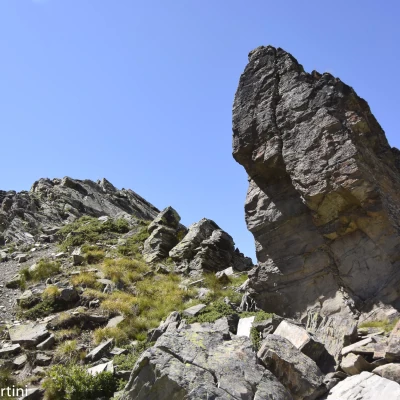
Tête d'Entrelor, from Bruil
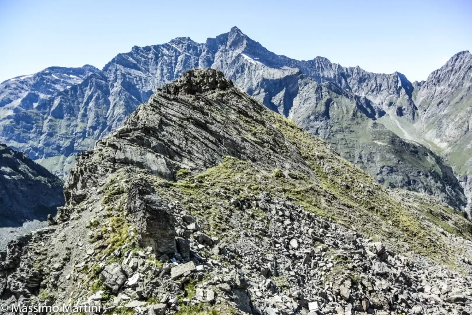
Access
Leave the motorway at the Aosta Ovest exit and continue to the junction with the SS26: turn left at the traffic lights and proceed in the direction of Courmayeur. Pass the villages of Saint-Pierre and Villeneuve before turning right onto the road of Valsavarenche, which soon passes the village of Introd and, after a few kilometres, splits off and becomes the road of the Rhêmes Valley. Drive up the valley, passing Rhêmes-Saint-Georges and finally arriving at Bruil, capital of the municipality of Rhêmes-Notre-Dame: here you can leave your car in the car park in front of the town hall or, when there is a lot of traffic, in the car park on the right before the village.
Introduction
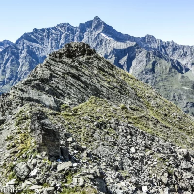
The Tête d'Entrelor is a discrete peak nestled between the Entrelor and Sort valleys. Often confused by the grassy knoll surmounted by a wooden cross, in reality the real summit is located about 300m to the west and requires a little care in the progression, having to walk on slightly exposed tracks. All in all, a beautiful hike that allows you to enjoy interesting panoramic views over the Val di Rhêmes and becomes exciting completing the route with the descent along the Vallon de Sort.
Description
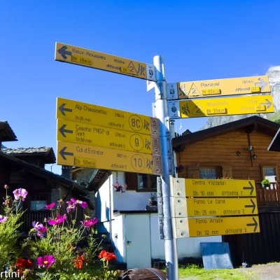
0h00' Leave your car in the little square in front of the town hall and you will immediately come across the signposts indicating the main paths starting from Bruil. Follow the signs for Alta Via 2 and footpath 10 as you proceed towards the town hall, then turn right onto a small road that crosses the hamlet. Pass through the village with its characteristic hamlets and, after a second fountain, cross the Dora di Rhêmes stream right in front of the Gran Paradiso National Park Gamekeeper's Hut.
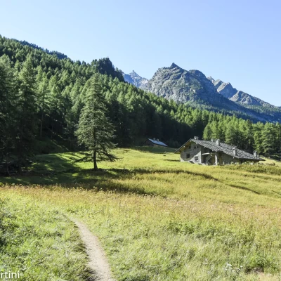
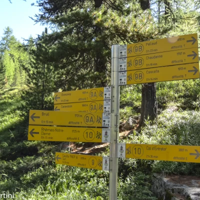
0h05' In front of the Hut, you will again come across signposts directing hikers to the paths on the orographic right-hand side of the valley. Take the wide path that begins to climb the slope between imposing larches. After a hundred or so metres, you come to the farm road to the Pré de Bois alpine meadow, which you follow for a short distance before rejoining the path. Climb up the slope at the edge of the forest, making a wide bend to the right until reaching the Pré de Bois pasture (1787m).
0h15' The path enters the larch forest, with a series of short bends quickly gaining height until reaching the crossroads for the Vallon de Sort, which should be left behind.
0h20' Follow the path to the right, skirting the calm waters of the ru, passing under the rocky spur of the Château Quelet, until you come to an obvious signpost indicating that you should resume the ascent.
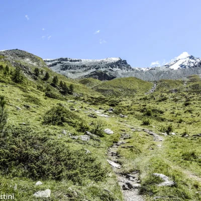
0h25' Climb the slope at first with greater intensity and then with a series of bends, quickly overcoming the section of the hike with the greatest difference in altitude before coming out of the forest into the beautiful clearing of the Comba di Entrelor. We come to a wooden cross (2104m), an excellent "lookout" over the mid-to-high Val di Rhêmes, from which there is a fine view of the watershed peaks with the Valgrisenche, from the Granta Parei to the Becca Laugier and, above all, we begin to appreciate the rugged environment of the Entrelor valley, catching sight of the pass of the same name in the distance.
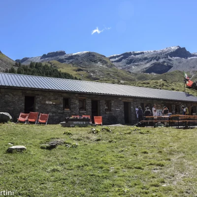
0h55' Continue now under the open sky among the pleasant pastures of the basin, following the evident path that sinuously traces pleasant curves. At the height of an erratic boulder, you will come across a post indicating the hut 5 minutes away. Follow the path to the right and you will soon reach the cluster of hamlets that make up the village of Entrelor, the largest of which is the Rifugio delle Marmotte (2,142m).
1h00' Continue past the hut, following the path to the left of the hut. After a short ascent, the path flattens out slightly, passing alongside an aqueduct shed and, by means of a wooden footbridge, leads back to the orographic right of the plateau, joining the Alta Via .
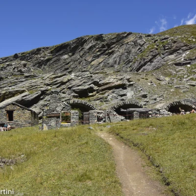
1h15' Proceeding at a medium gradient, go past a scrub of larch trees and begin the ascent towards the bottom of the valley, still dominated by the Cima d'Entrelor and the flat peak of Punta Percià, which saturate the horizon. Take a series of hairpin bends that soon lead to the ruins of Plan di Feye (2,293m), a mountain pasture with characteristic vaulted arches.
[1h50T2'] To the left of the mountain pasture starts the path
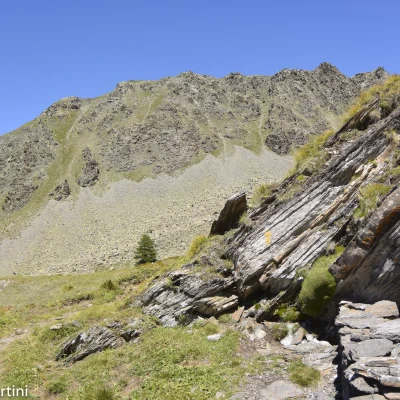
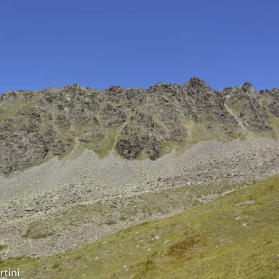
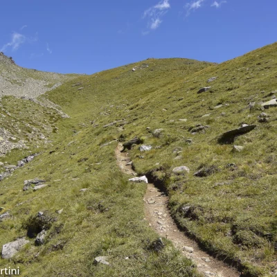
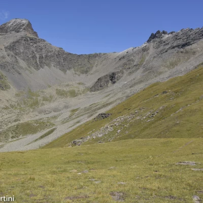
that proceeds halfway up the slope, circumventing a rocky promontory. Then proceed inside a valley, on the grassy slope to the orographic left, leaving to the left the long rocky bastion of the Tête d'Entrelor, at the foot of which lies an enormous scree slope. In a more or less straight line, approach the grassy bumps that precede the pass: a couple of wide hairpin bends finally lead to Col Gollien (2,568m).
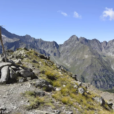
2h15' At the pass, turn left and quickly climb up a rise surmounted by a rudimentary wooden cross; continue along the edge of the crest, descending a short stretch with a track that is still evident. A first section of rocky ridge is reached, which is circumvented to the right on a little track that leads to a crevice where a solitary gendarme emerges. Continue halfway up the northern slope, passing below a rocky plateau, beyond which, the trail veers to the left and climbs the last short slope that separates us from the summit of the Tête d'Entrelor (2,580m, 2h30').
The descent follows the same route as the ascent (1h30'), or you can opt to complete the itinerary with a loop by descending along trail to the Sort hut (2448m, 0h45'), of the Gran Paradiso National Park and from there to Bruil along trail (2h00').
General information
Trail signposts:
- ,
,
Type of route: a/r or circular depending on the descent option
Recommended period: June, July, August, September
Exposure to sunlight: West
Objective Danger: none
Exposed Sections: along the final ridge
Useful Equipment: normal hiking equipment
Water: Bruil, Entrelor and Casotto di Sort
.
