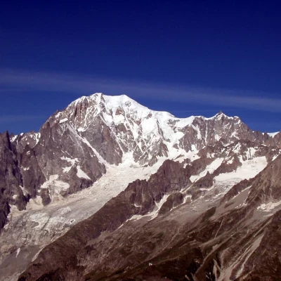
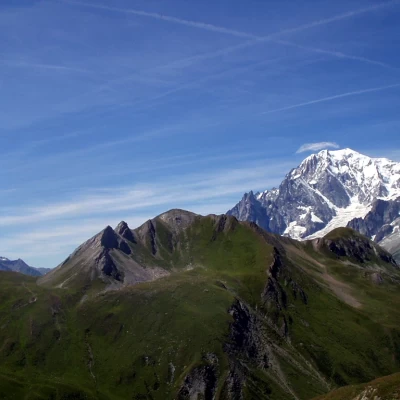
Tête de la Tronche, from Praz Sec d'en Bas
Introduction
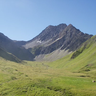
The Tête de la Tronche is at the head of the Val Sapin and connects the panettone of the Testa Bernarda with the Aiguille de Chambave. The proposed itinerary, less common perhaps than the one up from Villair and Mont de la Saxe, reaches this splendid panoramic balcony over the Mont Blanc range via the bucolic Vallone di Arminaz.
Description
Take the little dirt road, marker
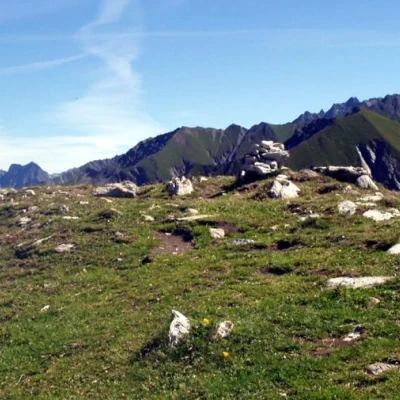
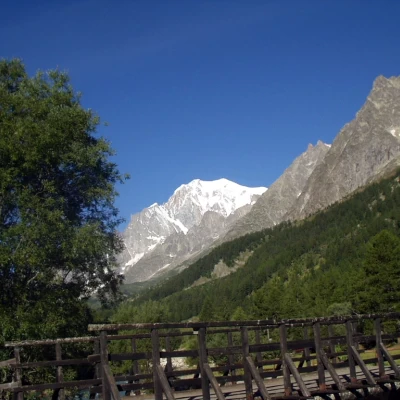
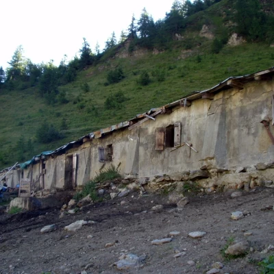
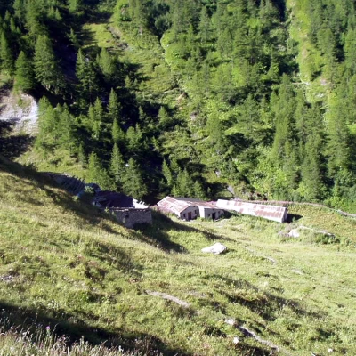
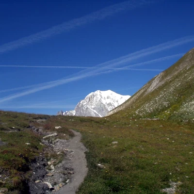
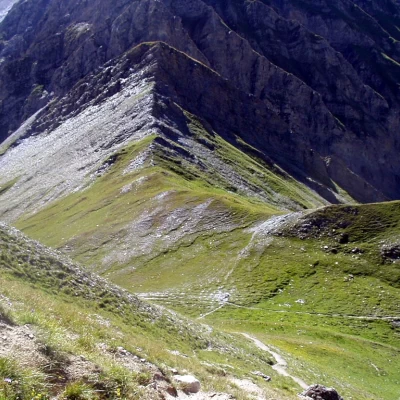
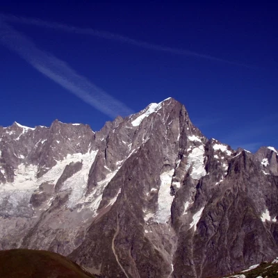
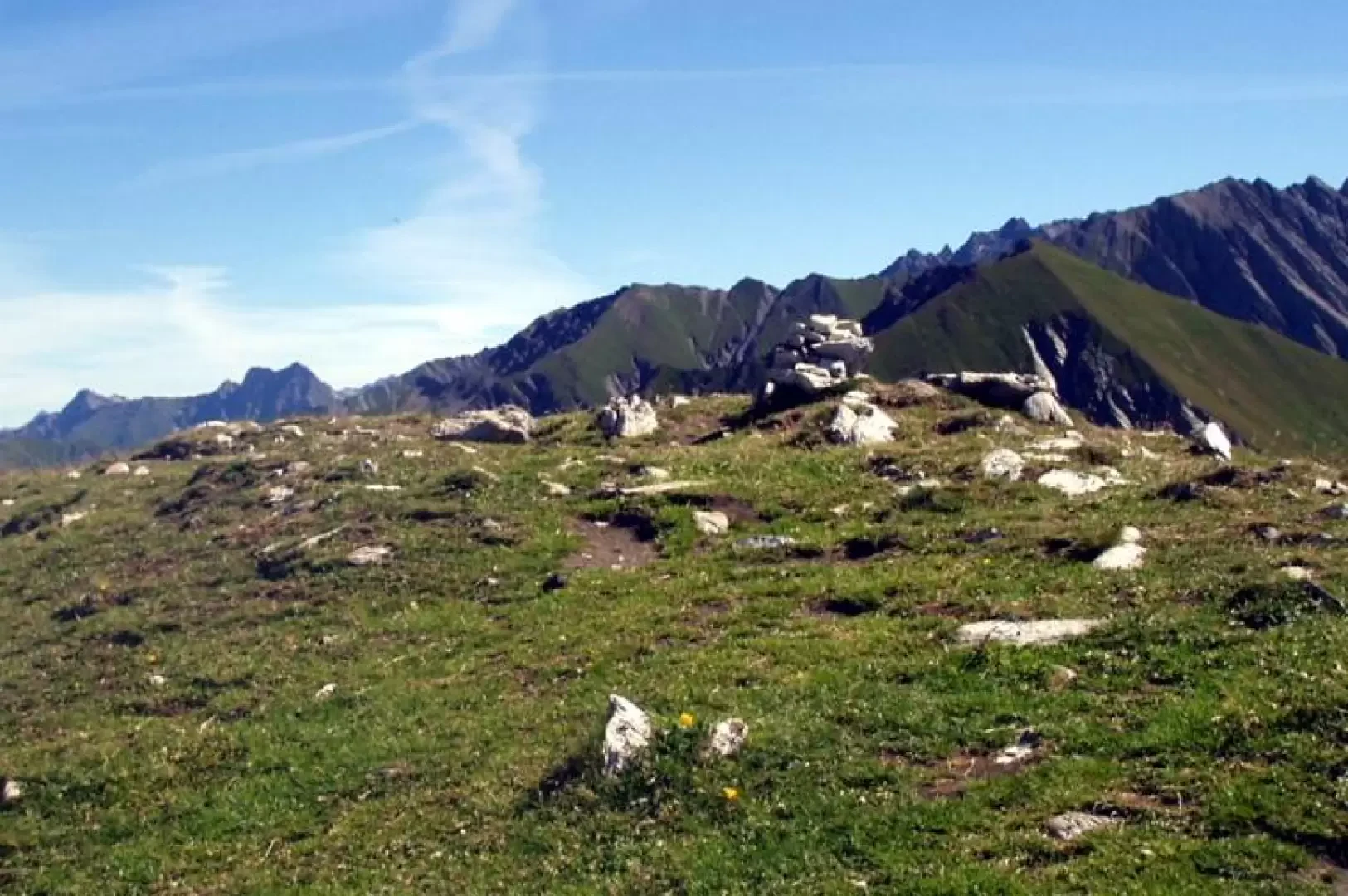
, to cross, on the right, first the Dora di Ferret and immediately afterwards, on a footbridge, the stream that descends from Arminaz. Proceeding into the grassy clearing, the signpost for Lavachey is overlooked on the left and you enter the forest. The path, at times confused with a few streams, climbs fairly quickly in twists and turns. After 25'/30', at a yellow marker (29) painted on a low stone outcrop to the left, leave the main path and follow the little path to the left until leaving the forest. Keeping now to the left, with rare yellow marks on a few stones, cross, sometimes on a free track, some pastures and wetlands until reaching the Sécheron pasture (1924m, 0h45'). Now follow to the right the wide mule track that, amidst a few fir trees and with some modest ups and downs, leads above the houses of Arminaz. With Les Grandes Jorasses behind you, walk along the gentle Arminaz valley to the Tsa de Sécheron (2260m, 1h45'). It is now advisable to walk to the right towards the shortcut that connects just above with trail marker (42) and then climb the grassy rises to Col du Sapin (2,435m, 2h15'), near which a panorama opens up over Val Veny and Mont Blanc. To the right, a very steep path climbs the southern grassy ridges of the Tête de la Tronche (2584m, 2h35'). From the summit, the view of the Mont Blanc chain, from Val Veny to Val Ferret, is magnificent.
The descent follows the same route: you reach the Col du Sapin (2435m, 0h10'), then the Tsa de Sécheron (2260m, 0h35'), retrace the Arminaz valley, turn right towards Sécheron (1924m, 1h30') and descend to Pra Sec Dessous (1624m, 2h05').
