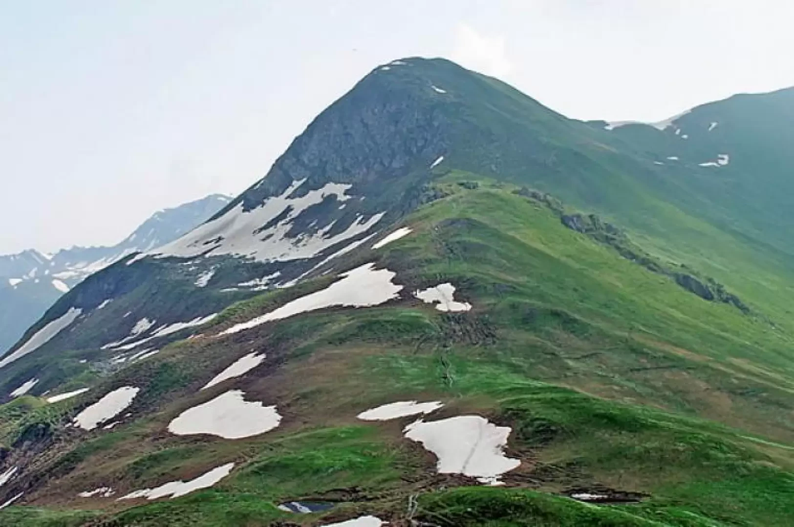
Testa Bernarda, from Villair dessus

Introduction
This excursion should be done on a clear day so as to allow you to fully enjoy the stupendous and unique panorama of the Mont Blanc group and the Jorasses: from the summit, in fact, the view sweeps from the Aiguille des Glaciers to the west and then on to Mont Blanc, the Dente, the Jorasses and the Dolent to the east. Don't forget your binoculars!
.Description
From the widening, a dirt road branches off to the right. After passing a wide wooden bridge, it turns right and immediately a path branches off from it, which, acting as a shortcut, cuts a few hairpin bends and rises towards the mountainside. Once we reach the dirt track again, which now becomes narrower, we find a post indicating the route to the Bertone hut. The mule track continues rising gently to a ruined barn, where it becomes a comfortable path that after a few hairpin bends reaches the mountain pasture, also in ruins, of Leuchey damon (1938m), where there is a fork in the path, at which you must turn right to undertake a long traverse to the south-west. Passing through the low vegetation typical of these altitudes, you come to a shoulder where an orientation board and a series of signposts are located. From this point, follow the direction signposted for Testa Bernarda and climb north-eastwards along a steep path that, rising above the Praz de la Saxe pastureland, where the Bertone hut is located, quickly gains altitude and reaches the broad ridge of Mont de la Saxe (2348m). Follow the ridge, following the numerous ups and downs of its gentle undulations, passing between some snow-dispersing barriers, and after descending briefly to a col, start again with a half-steep ascent on the southern flank of Testa. When you reach a subsequent col, you turn sharply to the left and, climbing without an obligatory route, you reach the summit canopy in a few minutes. From here, as already mentioned, the panorama is truly priceless. Alternatively, for the return trip, once you have descended to the dividing col between Testa Bernarda and Mont de la Saxe, you must locate a track on the right (there are no signs) that descends under a rocky rampart, watch out for snowfields at the beginning of the season, and makes a traverse in a north-easterly direction until you reach, after crossing a small stream, the La Lichére pasture (2115m). From here, turn left and after passing by a ruined hut, cross another stream and rejoin the mule track of the ascent route.