Vignone Peak
Access
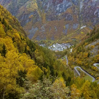
From Milan to Ardenno along state roads 36 and 38; at the crossroads at the railway station turn left towards Valmasino. Go up the valley as far as Filorera and, at the crossroads near the Centro Polifunzionale della Montagna, take the road on the right towards Predarossa: continue until it becomes a dirt road near a bridge. Up to this point - ample parking - there is no need to pay the toll, as pointed out at the Multifunctional Centre.
Introduction
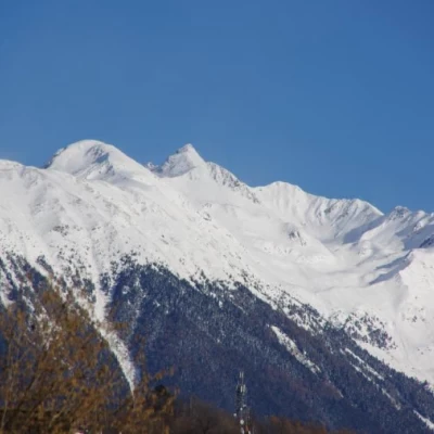
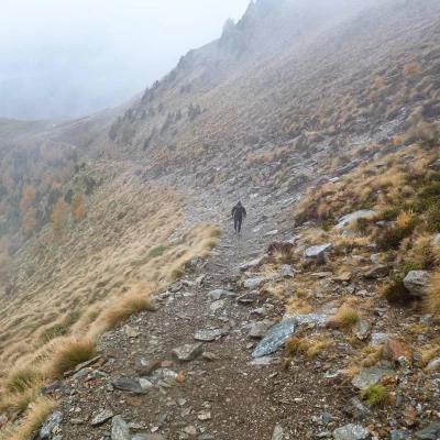
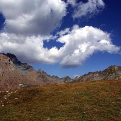
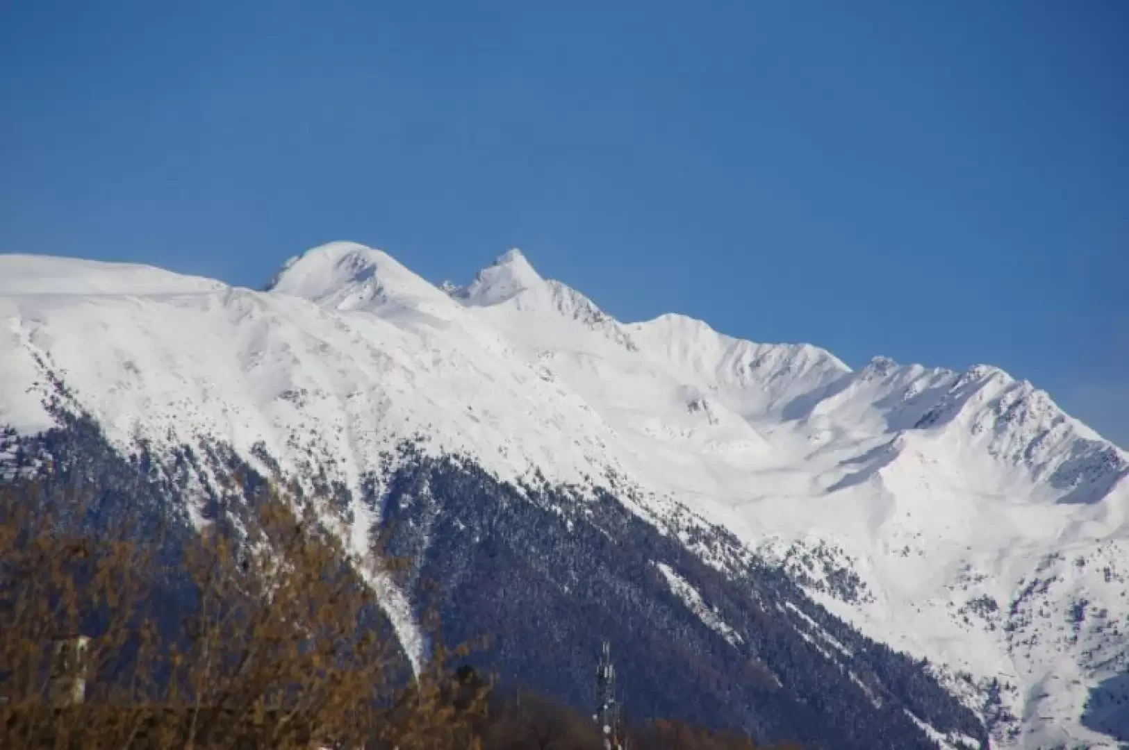
Easy excursion that has as its destination a grassy dome located at the apex of a wide ridge of pastures with a balcony over the first part of the Valtellina and in front of the Orobie: the panorama is certainly one of the most remarkable in this area. Although there are no dangers associated with the route, it is essential to tackle the excursion with good visibility, given the high risk of disorientation when crossing the vast grassy plains. The return trip takes place along the toll road of the Predarossa Valley, or rather, along the steep and technical shortcuts that are part of the route of the famous skyrunning race "Trofeo Kima".
Description
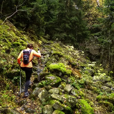
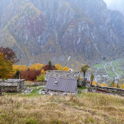
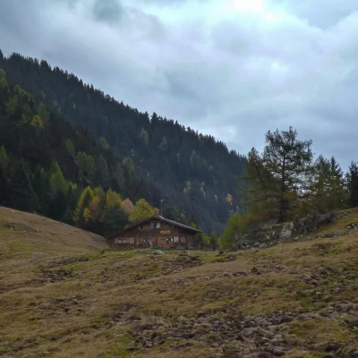
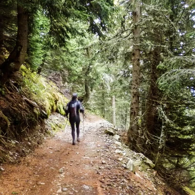
From the car park (1160m), continue along the tarmac track, which is off-limits to unauthorised traffic (5 euro toll), for a good stretch after the first hairpin bend; heralded by a visible sign indicating the Rifugio Alpe Granda, a path branches off to the right and immediately begins a long traverse back. The path climbs steadily through a beautiful mixed forest of conifers, beeches and birches, often stony and along "steps" of roots, until it comes out in the clearing of the panoramic Alpe Taiada (approx. 1400m).
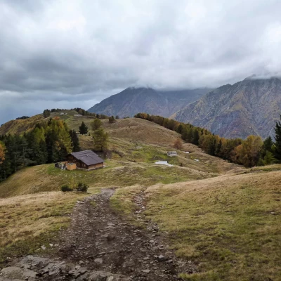
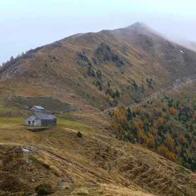
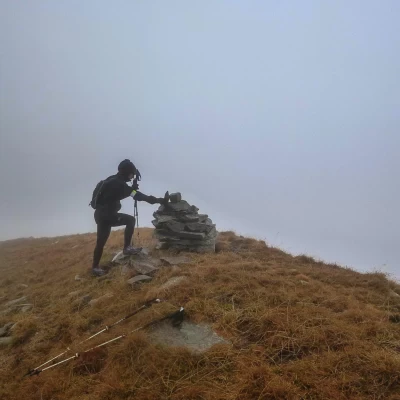
The path starts off again behind the huts and enters the forest again: a few easy hairpin bends lead to the wide spaces of the Alpe Granda, right near the Alpe Granda hut 1630m. To the side of the hut, take - signposted Scermendone - a wide, paved mule track that climbs up into the fir forest, traversing the southern slopes of Pizzo Mercantelli 2070m in a long traverse. Alternating between very steep uphill stretches and long, flat transfers, after four hairpin bends we finally return to the open at Casere Scermendone 2103m: from here our destination is visible as a final surge of the wide pastureland rump we have just reached. A few ups and downs take us to the isolated little church of San Quirico 2131m and the adjacent ANA Scermendone bivouac building. Climbing upstream from the large stone enclosure of the bivouac, we come to a path that runs along the stony ridge on its northern side: a beautiful panorama of the Val Terzana (or Scermendone) below and the rocky coastline of the Corni Bruciati. The trail continues - more or less visible in the pastureland - following the hump of meadows that sometimes even widens out into extensive plains. In the vicinity of the terminal dome, the now faint trail accentuates the slope and, having crossed a vague little stony valley, climbs up a ridge that ends at the summit pasture. A small stone cairn indicates the high point of Cima Vignone 2608m. For the return trip, it is possible to vary the route: back up to the Bivacco Scermendone bivouac along the ascent route, turning onto the slope of Val Terzana, there are two mule tracks; taking the one on the left (downstream), one begins to descend rapidly in hairpin bends towards the marshy beginning of Val Terzana itself, just where a wooded spur divides it to the left into two descending branches. Having neglected the first valley (which descends directly to Sasso Bisolo via Alpe Cortisella with an uneasy path), we go round the spur and - crossing two small bridges - take the branch leading to the Predarossa plain: it is a very popular path, but stony and uneven. With a steep downward traverse among the mountain pines and a short ascent in a damp little valley, you reach the 'beaches' of Predarossa 1955m. Here the toll road that we abandoned at the initial car park also ends: wishing to avoid the boredom of about 10 km of tarmac, it is possible and advisable to follow the path-shortcut that cuts through all the hairpin bends to Alpe Sasso Bisolo. It is sufficient to follow the abundant painted markings of the 'Trofeo Kima' route, which goes up this valley to join the Sentiero Roma. It is initially a very bumpy and damp track, with awkward passages between large stones; further down the track becomes easier along soft ground covered with fir needles. We finally come out onto tarmac at the last pastures of Sasso Bisolo 1470m; following the road, we pass the Rifugio Scotti 1500m and continue our descent to a dark, curving tunnel (time switch for the light on the right-hand wall a few metres from the entrance). A few more steep bends on tarmac and, having passed the initial path for Alpe Granda, you return to the car park.
General Information
Trail Markings:red/white/red, none
Type of Route:Partially Circular
Advised Timeframe:April, May, June, July, August, September, October, November
Objective Hazard:disorientation in case of poor visibility
Sun exposure: south
