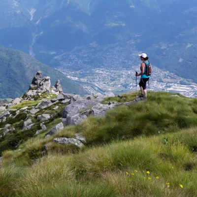
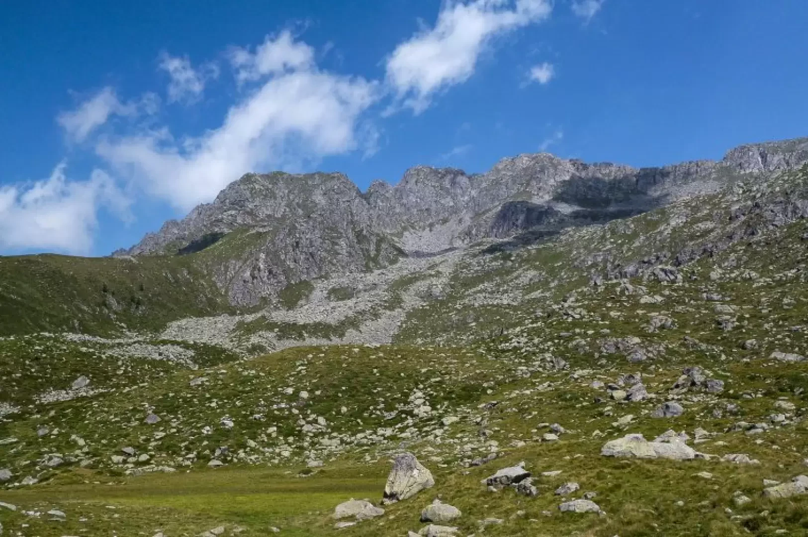
Cima di Malvedello Q2647m, from Poira
Access
From Milan to Morbegno along state roads 36 and 38; at the roundabout at the entrance to the town, turn left towards "Costiera dei Cech". Continue along the provincial road, passing the villages of Dazio, Vallate, Serone, Chempo and Roncaglia; once in Poira, reach the end of the road near a small church and sports field. Large car park.
Introduction
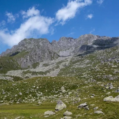
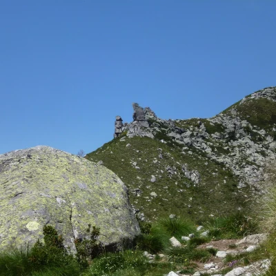
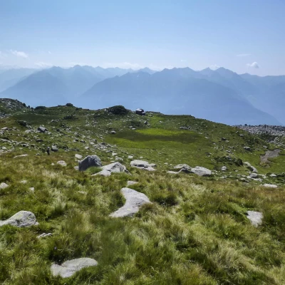
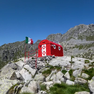
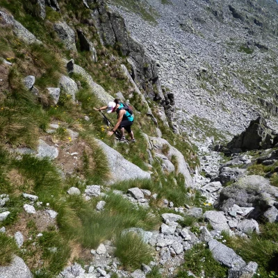
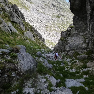
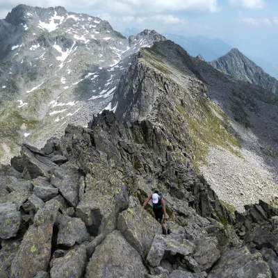
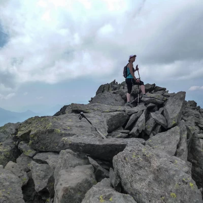
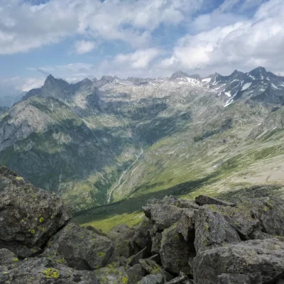
A climb that is practically unknown outside the frequentation of the few local hikers and hunters. Past the Bivacco Bottani-Cornaggia bivouac, we begin an exposed ascent on uneven terrain that converges into a steep, narrow, stony gully: the summit - of accumulated blocks - is a splendid viewpoint over the underlying head of the Valle dei Ratti, which extends from Lago di Mezzola to the peaks of Ligoncio and Desenigo. A small variant of the route - on the way back - allows you to visit the Tre Cornini, a small group of three piled rocks, already clearly visible from Morbegno.
Description
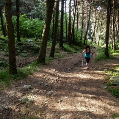
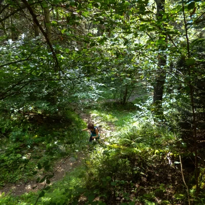
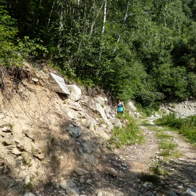
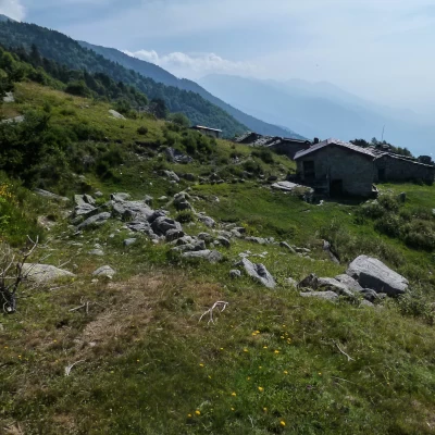
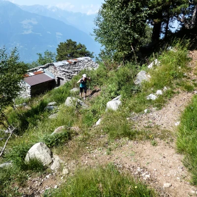
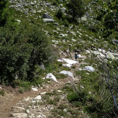
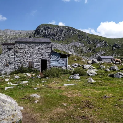
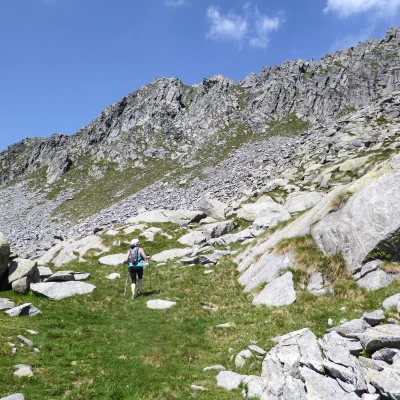
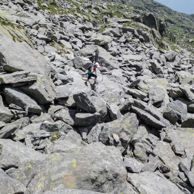
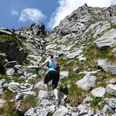
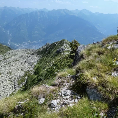
From the church square 1077m, descend for a few tens of metres until you find a small road (hiking signs) that leads through scattered cottages in the pine forest; paying attention to a fork (the signs seem to indicate two different directions, but the correct road is only the one on the right), continue along the wide, comfortable path. Follow it along the comfortable hairpin bends until you cross a recent (2006-2007) firebreak track; cross the track and, just opposite, you will find the continuation of the path (note, high up on a log, the sign 'Tre Cornini'). We ascend in easy hairpin bends through the pine and birch woods; then a traverse among the brooms brings us to the Maggengo di Prà Sücc 1647m (Presòccio, on the maps) where the path tends to get lost. To find it again, it is necessary to look at the last huts at the top left and reach a small post with a yellow arrow behind them; continue through ugly vegetation dominated by the skeletons - erected and also felled - of the many pine trees burnt in the various fires that occurred in the 1980s and 1990s. Once past the forest level, you come to a very stony pastureland esplanade, where the path widens out on the trace of an excavation for the laying of a service aqueduct at Pra Sücc: after a few bends on the slope, you come to a shoulder above, in view of Alpe Vesògn 2003 m (Visògno, on the maps). From here, the Bottàni-Cornaggia bivouac is already visible above, which we will reach in less than an hour. Passing through the remains of ancient lakes that are now buried, look for the sparse and faded white/red painted signs on the left side of the valley (a little towards the Tre Cornini, a characteristic triple accumulation of boulders), which you should follow carefully: at this point the bivouac is no longer visible and there is a great risk of wandering uselessly up the slope. We reach the rocky pulpit that supports the construction (always closed; keys on request in the restaurants of Pòira) going around it to the right. Behind the bivouac, we notice, on a boulder, the signs for the Volta and Omio refuges (respectively about 5 and 7 hours' walk away): we follow these for a few dozen metres, until we can spot - thanks to the changed perspective - the gully leading to the summit, which until now appeared to be defended by a smooth placade of rocks. Climbing as far as possible in the steep pastureland, one reaches a flow of boulders that one must finally cross in order to enter the gully; the ascent is almost obligatory, with a few climbing steps among very mobile stones and grassy ledges, until one reaches the accumulation of boulders on the summit, which are also rather unstable at times. Returning to the base of the gully, avoiding going back to the bivouac, it is possible to gradually reach - crossing long stretches of slope with boulders and extensions of rhododendrons and junipers - a clearly visible trail that climbs up the grassy slope that descends from Cima di Malvedello Q2585m and ends at Tre Cornini 2021m. Having visited the three pillars of stacked boulders, descend to the left to cross a stony depression and return to the ascent path a little downstream of Alpe Vesogn. From here along the outward route.
.