Cima Parì

Edited by:
Ivano Ruffoni
Updated at: 02/12/2025
Access
Get to Riva del Garda (by taking the Tangenziale Sud/SS11 and going up the SS45 bis/Gardesana Occidentale from the Brescia Ovest exit on the A4 or by exiting at Rovereto Sud - Lago di Garda Nord on the A22/E45 and then following the signs for Mori, Torbole and Riva del Garda) and follow the signs for Lago di Tenno / SP37. After passing through the village of Pranzo, near a hairpin bend to the right, turn left towards Campi and then up the valley of the Gamella stream following the signs for the Malga and the Grassi Refuge, near which you will find a large parking area.
.Introduction
The proposed itinerary, through the Nino Pernici Refuge, reaches Cima Parì, a panoramic balcony over Lake Ledro below, Lake Garda, the other peaks of the Ledro Alps and, in the distance, the Adamello group.
Description
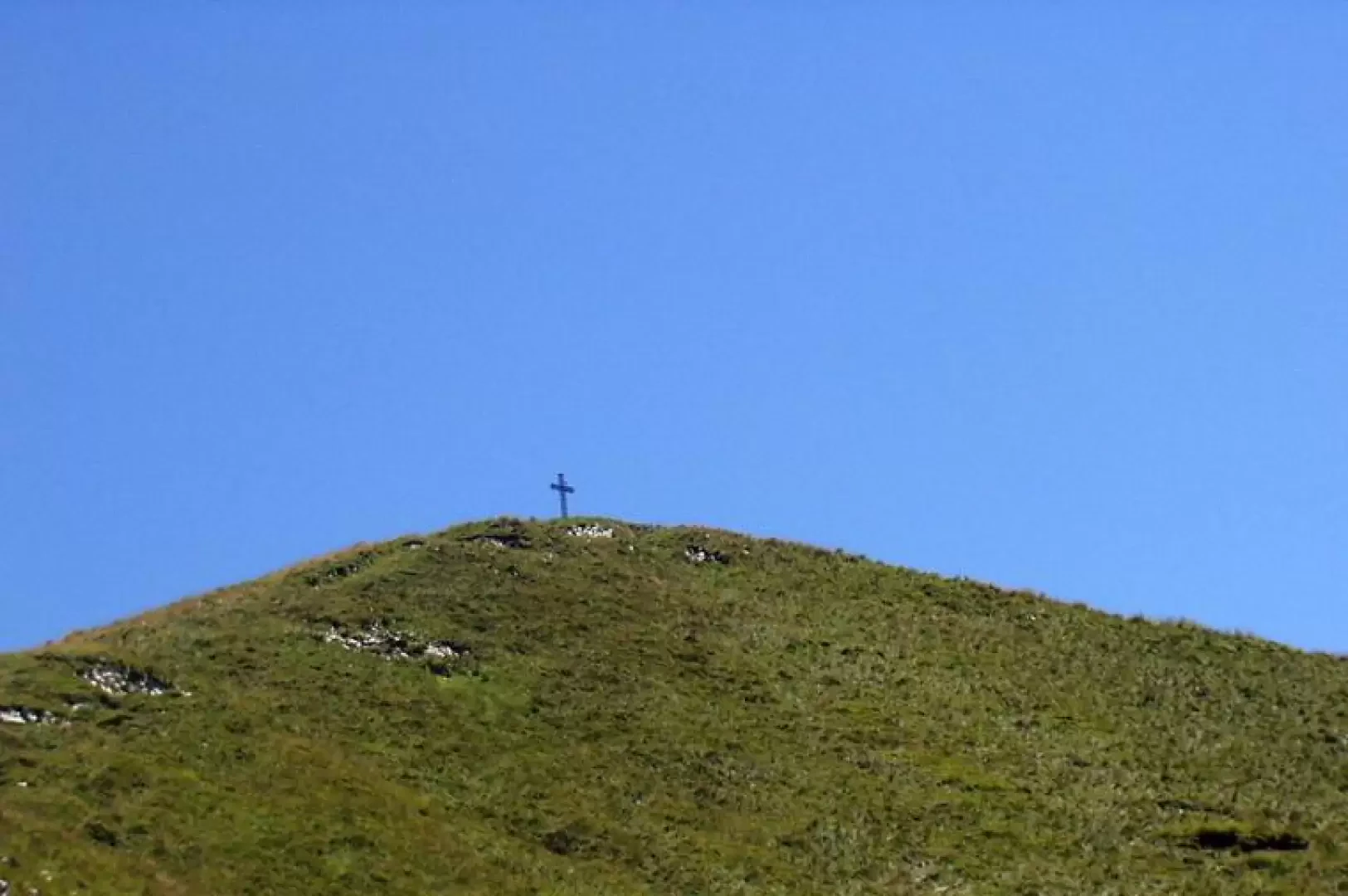
From the car park at Malga Grassi (1056m), ignoring the dirt track to the left for the nearby Capanna Grassi hut, cross the meadow, marker [402], and, already within sight of the Pichèa walls, enter the wood. Continue along the path, which crosses the dirt road several times, crosses the reservoir of some stream, leaves the diversions for a water intake on the left and climbs up to the Malga Dosso dei Fiori hut (1355m). Further up, the track climbs to another water intake and, among the fir trees, rejoins the dirt track. Turning left, in a couple of minutes' walk, you are at the Rifugio Bocca di Trat Nino Pernici (1600m, 1h30'). Beyond the hut, the signpost [413] for Bocca Saval starts: having reached a crucifix and some military caves, almost on the level, you come out onto the grassy eastern slopes of the Dosso di Seavi and, slightly uphill, walk towards Bocca Saval (1720m, 2h20'). Now follow trail marker [454] to a fence, cross it and, immediately to the left, leaving a puddle to the right, head across the meadows to a grassy hump to be circumvented on the right until you find the track to follow. Now, among grass and rhododendrons, climb up the small valley, turn right to follow a long diagonal with a moderate slope and turn left to climb the final ridge up to the cross of Cima Parì (1991m, 3h15'). Back down to Bocca Saval (1720m, 0h30') descend towards Val di Gelòs on the dirt track to Baitone di Gelòs (plenty of raspberries). Keep to the left and proceed along the dirt road to a metal barrier. A few more metres and you find yourself on the dirt track you travelled on the way up. Turn right and descend to the Malga Grassi car park (1056m, 2h00'). Bibliography
- Fabrizio Torchio - Enzo Gardumi, Guida alle Alpi di Ledro, Panorama, Trento, 1995
Cartografia
- Alto Garda e Ledro, Carta escursionistica n°690, 1:25000, Kompass, 200x