Cima d'Ometto, from Alpe di Mera

Edited by:
Marcello Rossi
Updated at: 03/09/2024
Access
Go up the Valsesia to Scopello, where, following the arrows for Alpe di Mera, turn left. Climb up until the road becomes closed to car traffic, where you park your car in the large car park.
Introduction
The proposed excursion leads to the Ometto peak along the watershed between Valsessera and Valsesia, and although it can be considered an excursion in the Biellese territory, it is proposed to be climbed from the Valsesia side due to the long and uncomfortable approach route from the Biellese side.
Description
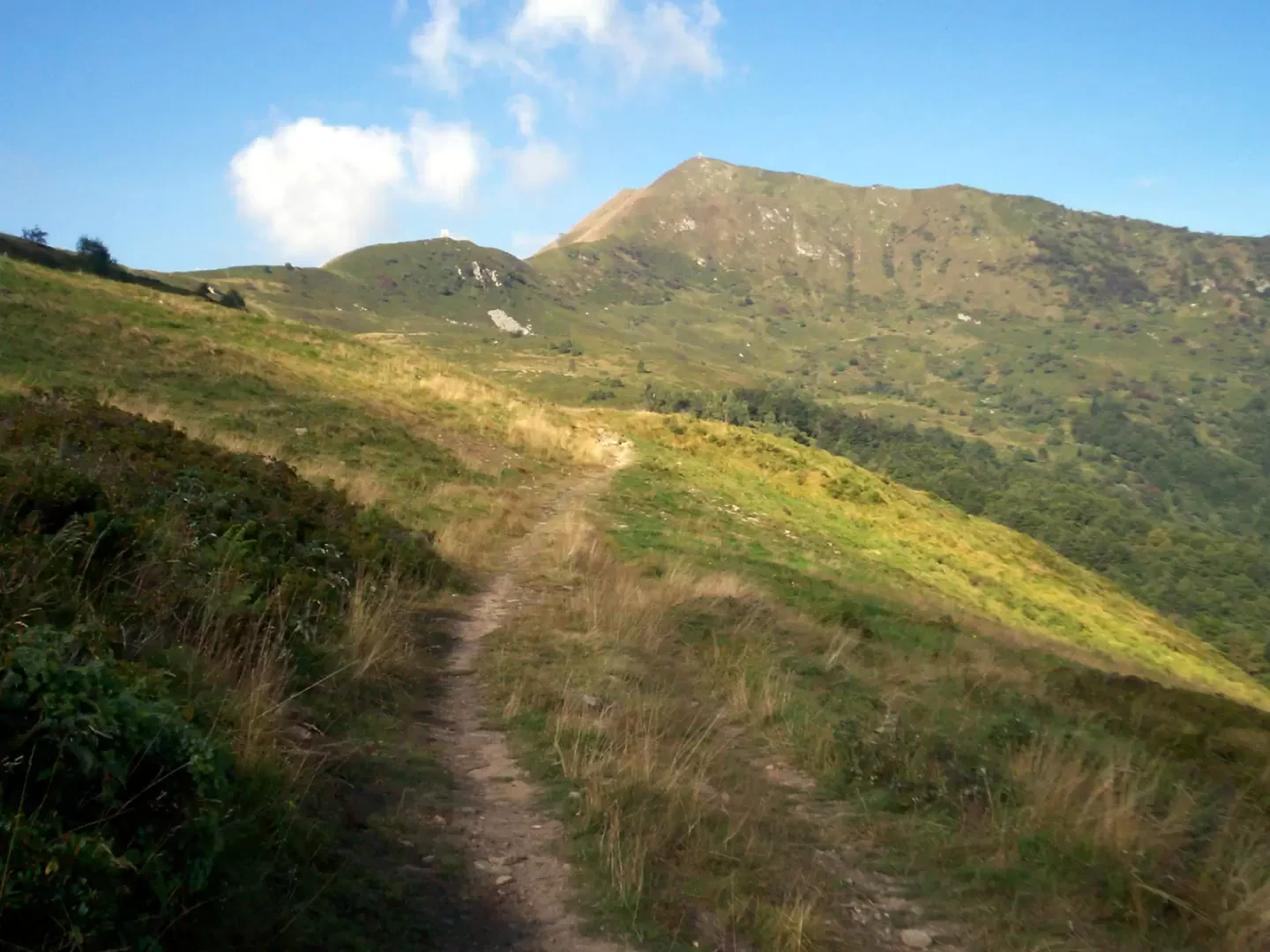
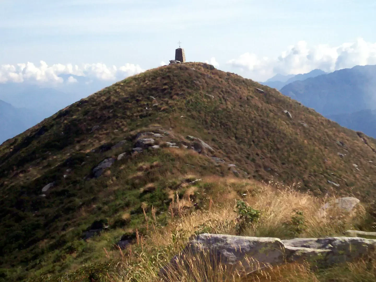
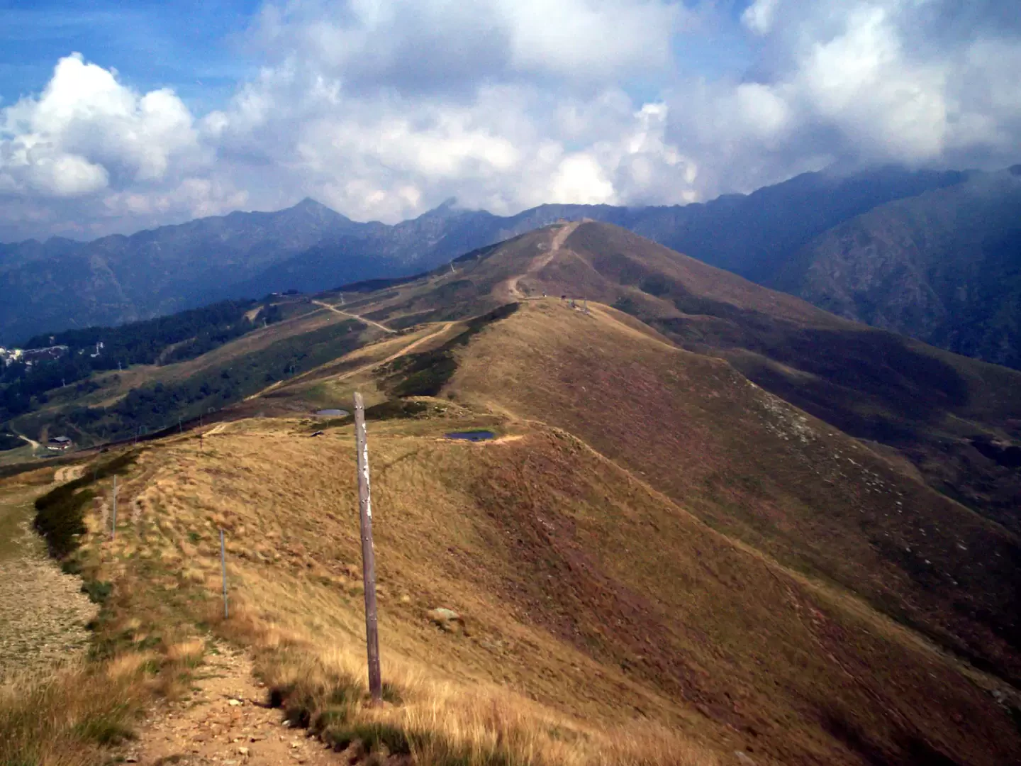
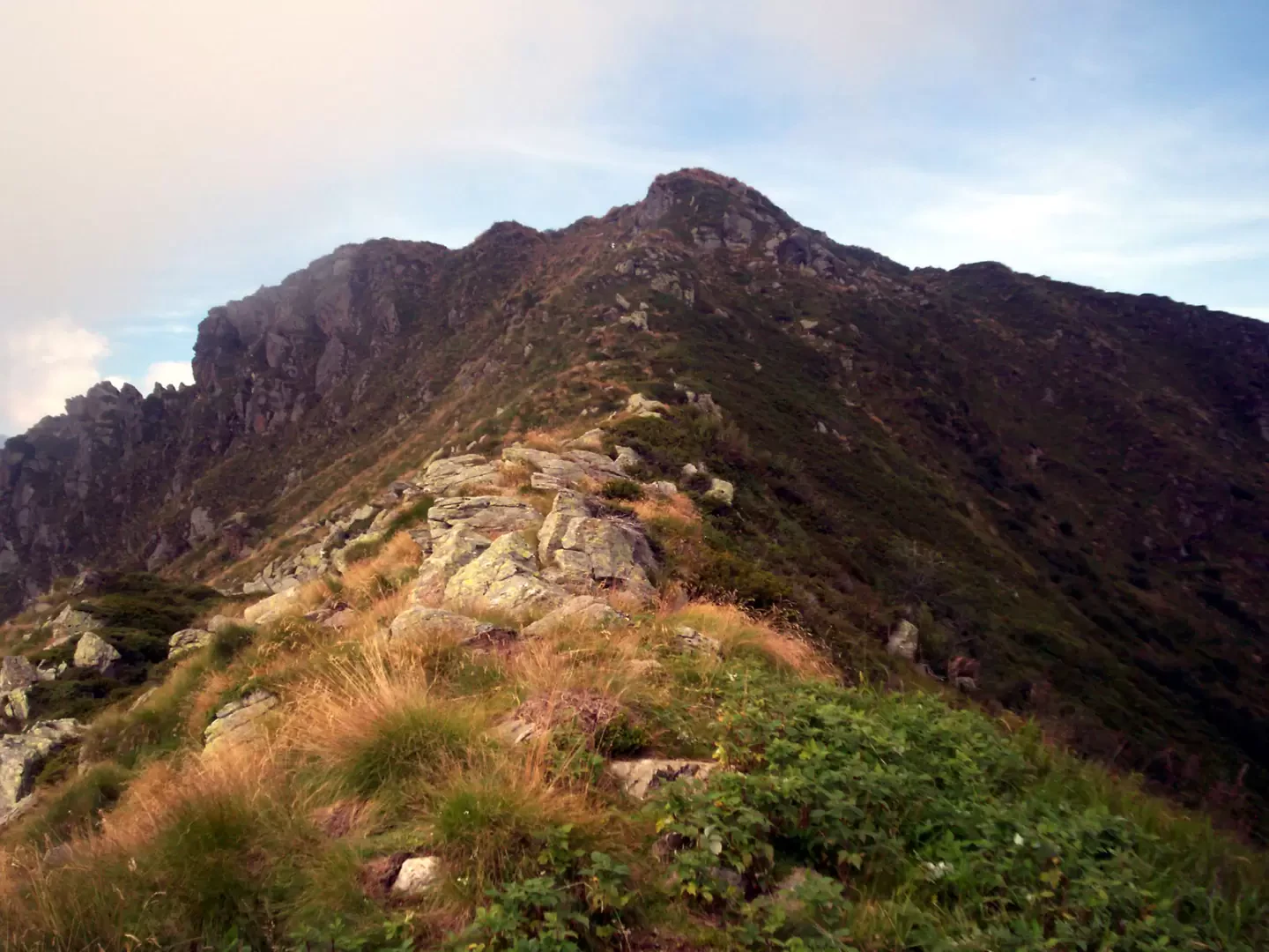
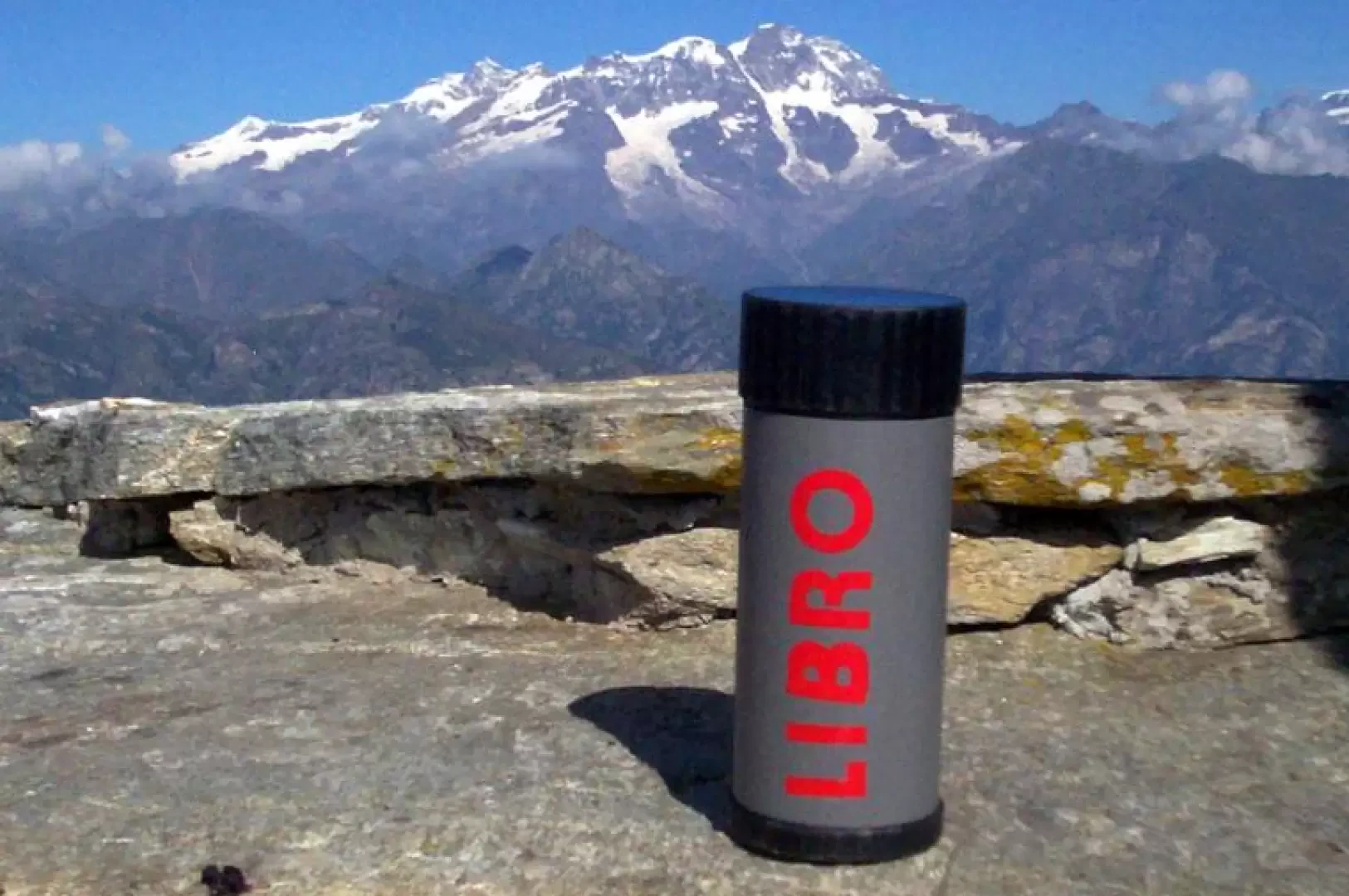
On foot, take the road that climbs up to the alpe di Mera (shuttle service in summer), cross the cluster of houses and take the path that points towards the depression between Monte Campariet and Cima Ometto. When you reach the depression, turn right towards Cima Ometto, following the path until it begins to gain altitude with a series of bends until you reach the summit, where there is a summit cross on a high pedestal. Inside the pedestal is the summit book.
General Information
Tour: from Alpe di Mera
Trail signposting: -
Type of route: a/r
Recommended period: June, July, August, September, October
Objective hazard: none
Sun exposure: south
Galleria fotografica