On the Corni di Canzo

Edited by:
Rita Tarussello
Updated at: 24/12/2024
Access
SS36 exit Valmadrera. Follow signs for San Tomaso, locality Belvedere.
.Introduction
The Corni di Canzo are among the best known and most popular peaks in the Lombardy Pre-Alps. Of modest elevation (below 1400 metres) due to their shape, however, they are easily recognisable among the mountains of the Larian Triangle. The itinerary described here starts from Valmadrera, at the hamlet of Belvedere at an altitude of 280 metres.
Description
At the end of the tarmac road, we take a beautiful uphill cobbled road that, in hairpin bends, leads to the small pyramid-shaped chapel of the VARS, the starting point for many itineraries in the area. From here, continue left, still on the cobbled road, following signposts 4 and 8. We pass the hamlet of Mondonico and, after admiring a small waterfall, we reach San Tomaso (580m, 0h35'), a chapel located on a beautiful natural terrace above Valmadrera. Behind San Tomaso, a signpost indicates paths 4 and 8 to Pianezzo.
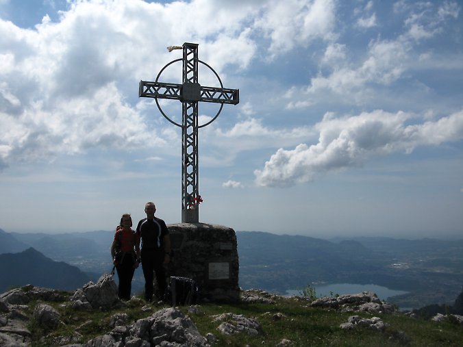
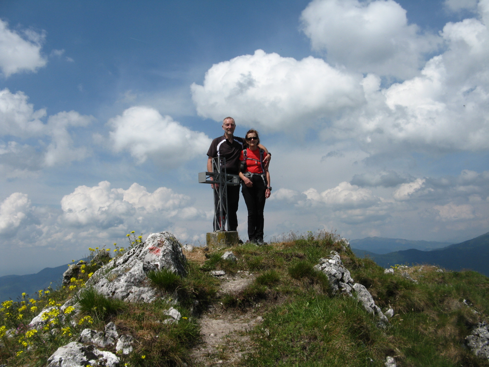
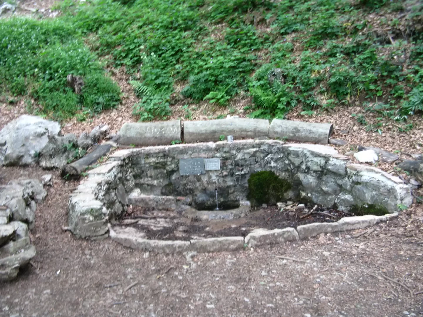
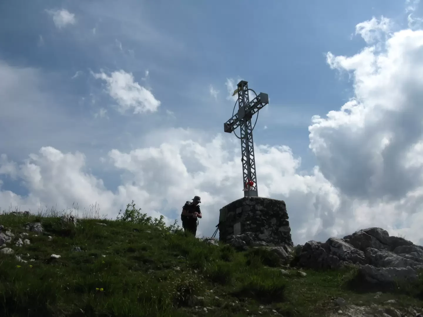
The route is signposted with yellow/white/red marks. Continuing on, at a fork, the path forks: to the right, trail no. 8 leads to Corno Ratt; keeping instead on trail no. 4 in the direction of Pianezzo, you find yourself walking through a beautiful beech forest. With a steady and easy ascent, you reach Acqua del Fo (1000m, 2h00'), a rest and refreshment area with wooden tables and benches and a fountain built by the SEV (Società Escursionisti Valtellinesi) near a magnificent monumental beech (Fo, in local dialect). We continue to climb comfortably through the splendid beech forest until we reach the Bocchetta di Luera (1221m, 2h30'), a saddle located between Corno Orientale and Corno Centrale. Take the right-hand path, which in no time at all leads over moderately ascending grassland to the summit cross of the Corno Orientale (1239m, 2h45').
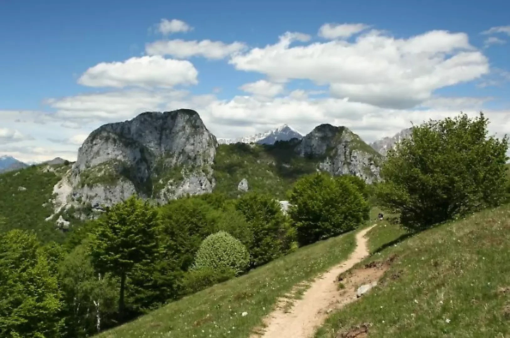
After an obligatory break, to admire the panorama that stretches from the plains to the far-flung mountains of the Alta Valtellina, retrace your steps to the Bocchetta di Luera to embark on the much more demanding ascent of the eastern ridge of the Corno Centrale along the east ridge. From the Bocchetta di Luera, follow the signpost to the SEV Pianezzo hut, immediately entering the forest with a moderate ascent. At a certain point, the path leaves the vegetation to cross a scree behind the imposing wall of the Corno Centrale. Here, without any signposts, another smaller gravel path branches off to the left, which remains among the trees and leads, after about five minutes, under a rock wall where there is a red E.E. (experienced hikers) sign. Here begins the first stretch of chain, loose and poorly secured, which is especially useful in understanding which way one should climb. The wall is well secured and it is definitely worth using the rock instead of the chain. A rather unstable path follows to the right, marked with red marks, which leads to the ridge. This is followed by several passages on easy walls and another stretch of chain, which it is a good idea to bypass on the right in order to ascend a more stable rock.
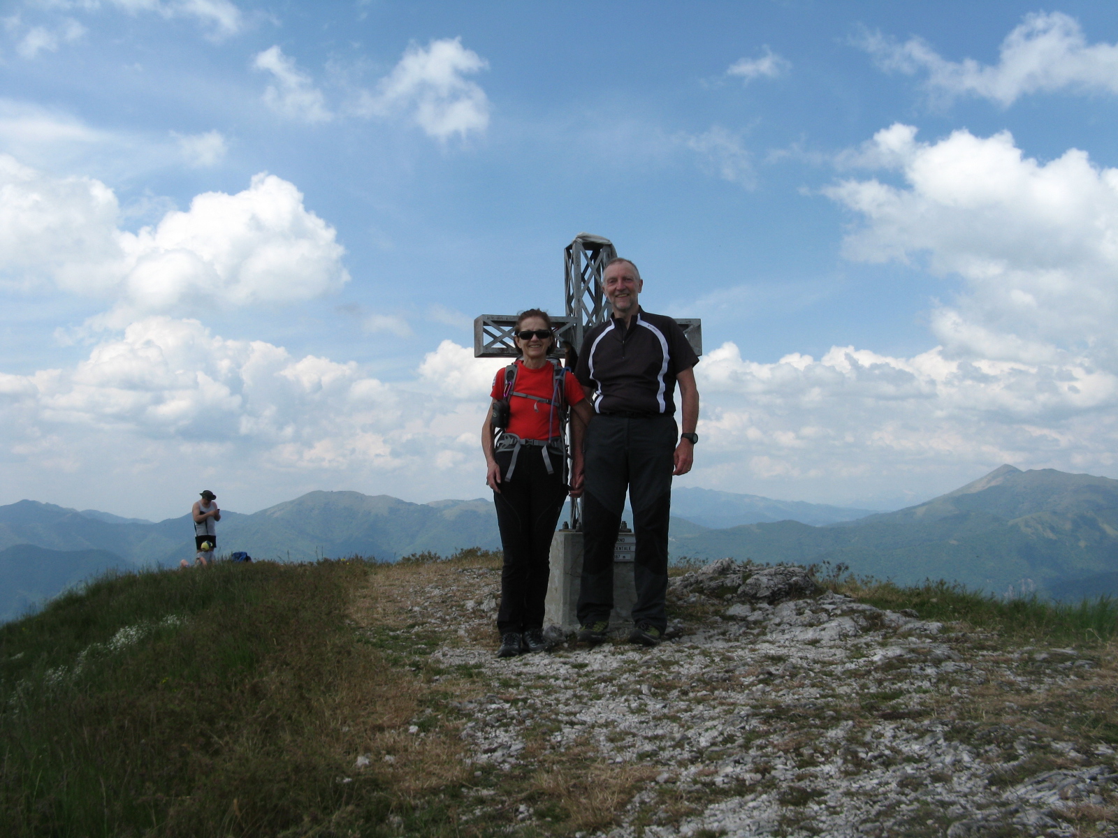
With a continuous alternation of small rocks and traces of the path, one reaches the antecima, where the path flattens out but becomes thinner, increasing exposure. You then descend a few metres to soon return up the ridge to the cross. There is a fine panorama, the same as the previous one, but with the addition of the view of the outward and return routes of the other two Corni, and of the SEV Pianezzo hut with the meadows that surround it. You now descend along the western slope, paying close attention to the sometimes slippery terrain.
The path, which is always visible and indicated with red marks, is very steep and after a few narrow hairpin bends you have to overcome a rather exposed traverse with no chains. This is followed by a short exposed passage downhill, where you have to find the least treacherous point to overcome it. Once down, the most delicate part ends. Now follow a narrow but safe track that enters into the vegetation to the Forcella dei Corni (1300m, 3h45'), which separates the Corno Centrale from the Corno Occidentale.
From here, continue straight on, still heading west, along the track that skirts the base of the east face of the Corno Occidentale. Continue up and down through the forest until the trail ends. Turn left and climb up easy rocks that lead to a path above, which, as it gets closer and closer to the rock face, leads to a gully that initially has a moderate slope, but becomes increasingly vertical and narrow as it climbs upwards, ending at the summit meadow where the summit cross is located (1387m, 4h00').
For the descent, continue straight on, following the flags of path no. 1, which passes near the end of the ferrata and leads to Costa Bella, a grassy saddle with a wooden cross. Near the cross, a path starts that leads into the forest and in a few minutes on the level to the SEV Pianezzo hut (1225m, 4h30').
The alternative, which is recommended because it is more rewarding and perhaps also safer, is to retrace the descent of the gully that has just been climbed, taking care not to move stones. Then return to the path and, without reaching the Forcella dei Corni, take the first downhill track that soon reaches the SEV Pianezzo hut.
You now cross the meadows in front of the building in a very beautiful and panoramic setting until you come to a lookout post just before the wood. Take path no. 4 on the right, which enters the vegetation and with a slight descent leads to the scree below the great wall of the Corno Centrale, and shortly to the Bocchetta di Luera. From here you descend along the outward route to Acqua di Fo, San Tomaso and Valmadrera (approx. 7h00', including stops).
During the weekends the numerous paths are very crowded and therefore finding parking can be problematic even if you arrive early, so it is good to take into account that the duration of the route is often influenced by where you manage to find parking space for your car.
General Information
Signposts:
Type of route: a/r
Recommended period of time: March, April, May, June, September, October, November
Objective hazard falling rocks, slippery terrain
Exposure to the sun:
Exposed sections: east ridge Corno Centrale, ascent gully Corno Occidentale
Mountaineering level: I
Water: San Tomaso, Acqua del Fo, Rifugio SEV Pianezzo
Galleria fotografica
We have been there

Edited by:
Ermanno Panara
Sui Corni di Canzo
Percorso vario e a tratti abbastanza impegnativo. Molto divertente la salita al Corno Centrale e Occidentale. La domenica è affollatissimo, ma se si parte la mattina presto non si trovano tappi nelle salite. Raccomandabile poi partire presto per l'annoso problema del parcheggio, quasi inesistente alla fine della strada, tanto da dover parcheggiare in fondo, poco dopo la chiesa, dovendo così farsi un lungo tratto di asfalto. Cielo poco nuvoloso