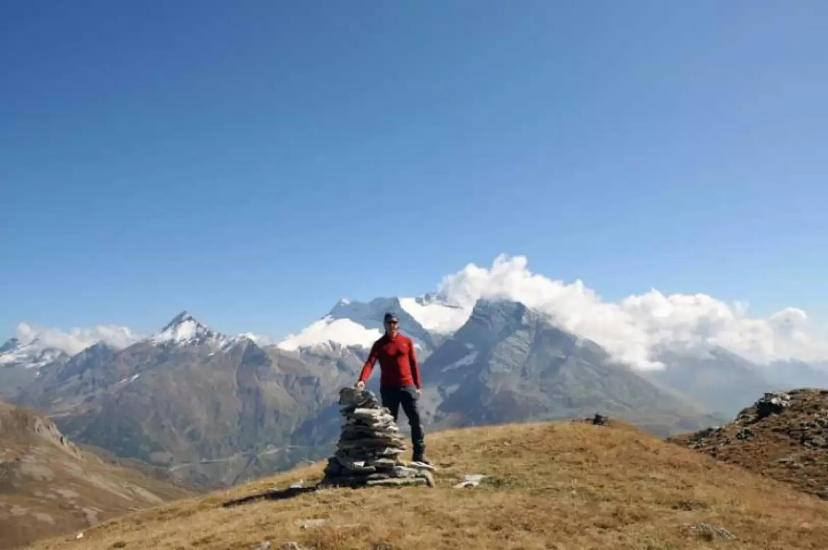
Straffelgrat, from Simplon Pass

Introduction
The Straffelgrat is a long watershed ridge with two peaks slightly more pronounced than the others, separating the middle part of the Nanztal valley and the Simplon pass. There are no major differences in altitude to be negotiated, but only a few ascents and descents between the low peaks that form the Straffelgrat. As you round the two peaks, you have beautiful 360° views of the various trajectories of the route, which sweep over the 4000-metre peaks of Saas, the Oberland and the peaks of the area around the Simplon Pass.
Description
From the parking area, go down the small road below the bar and cross the undulations of low vegetation passing next to a propeller for the exploitation of wind energy; cross a small road and continue with a few ups and downs on the clearly visible path that climbs up a small relief with some stone steps. You come to another small road where you will find a signpost that leads you along it for a few dozen metres to the left, arriving shortly at the Hopsche pasture (2044m); you pass in front of the huts and soon after, you come to a fork (2100m) marked by another signpost at which you turn left and climb slightly uphill for a stretch that is a little stony. Continuing on the evident track, you begin the traverse halfway up the slope below the Tochuhorn slopes, leaving a path on the right at a marker (2172m) and, taking the path close to an evident gully eroded by water, climb up a short grassy ridge just before it. This brings you to the entrance of the wide valley bordered on the left by the Straffelgrat, in the middle by the Spitzhorli and on the right by the Tochuhorn and, walking now almost level, you continue on, crossing a stake (2482m) further on in the middle of the Undre Rossusee plateau to which you continue straight on, passing a few rises that are not very high; in a few tens of minutes you arrive at the wide creek of Usseri Nanzlicke (2601m) where, here too, there is a stake. Turn left without, however, descending to take an obvious path that leads down to a hut below, but spot a scarcely visible track that climbs up towards the ridge that, a few metres before the small rocks, contours the summit on the right with a path over somewhat friable terrain; having completed the short traverse, go up the few metres that separate us from the northern peak (2647m) without any obligatory route. From the summit cairn, descend in a southerly direction, passing to the right of the edge of the grassy ridge on a fairly visible track that contours around a few rocky outcrops, descending to the Inneri Nanzlicke pass (2589m) and from here, passing both to the right and left of the reliefs of friable rock, you reach the cairn of the southern point (2633m). Back down to the pass, turn right along a wide path past a waterhole to reach the Undre Rossusee post again, at which, turning right, you retrace your route.