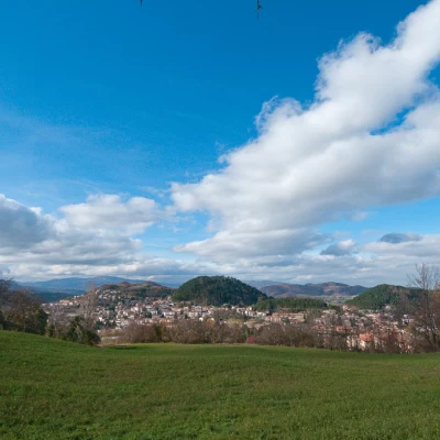
Pietra di Bismantova, from Castelnovo ne' Monti
Access
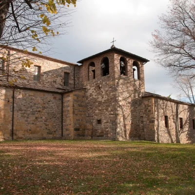
Leave the motorway at the Reggio nell'Emilia exit. Follow the signs for the Cerreto Pass following the SS63. Leaving the urban centre, enter the spectacular Apennine environment, among hills and historic villages. After about 40 minutes you reach Castelnovo ne' Monti: turn right at the first roundabout and park after a few dozen metres near the parish church.
.Introduction
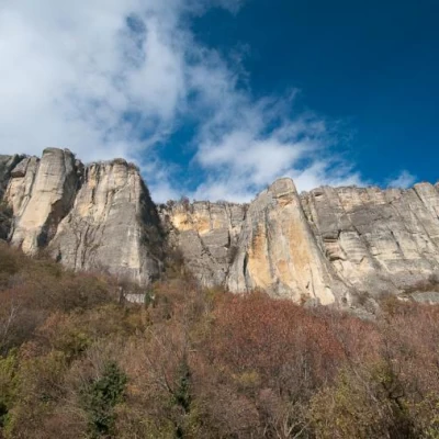
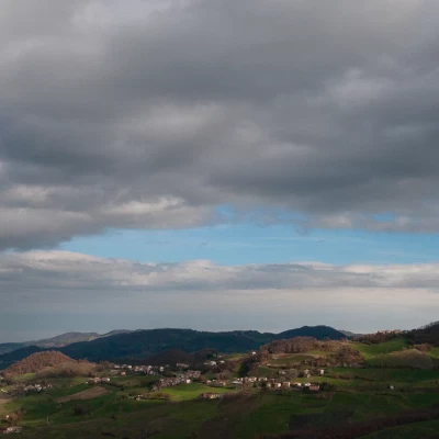
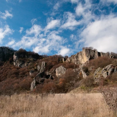
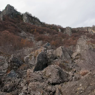
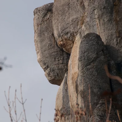
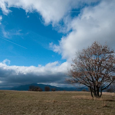
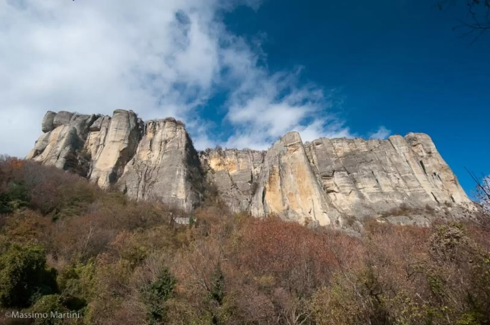
The Pietra di Bismantova is a large sandstone monolith that stands out majestically in the gentle profile of the hills of the Reggio Emilia Apennines. Already in ancient times furrowed and used for defensive purposes, it remains in the memory thanks to the words "carved" in the Divine Comedy by the Supreme Poet
"Vassi in Sanleo e descendesi in Noli,
montasi su Bismantova in cacume con esso i piè;
but here it behooves man to fly;
I say with slender wings and with the feathers of great desire,
behind that conduit which hope gave me and made light"
(Dante, Purgatory, Canto IV, vv.25-30)
The proposed itinerary provides a good summary of the enormous fascination this place has to offer!"
Description
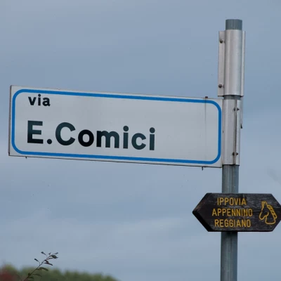
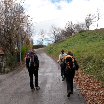
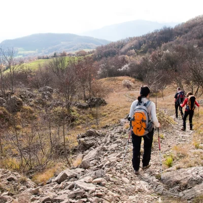
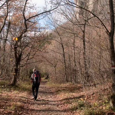
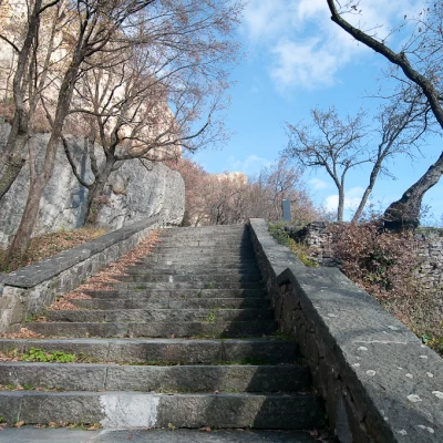
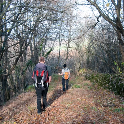
From the Pieve car park, descend briefly to the roundabout where you take Via E. Comici. Go up the small road between residential houses, ignoring every intersection: some markers confirm the right way forward. Follow the winding road to reach a crossroads (760m, 0h10'): keep to the direction of the road, ignoring the dirt track to the left that will be followed on the return journey. You soon reach the last houses and the asphalt gives way to a tractor track near Ca' di Pattino (806m, 0h20'). One enters the spontaneous scrub and, after a turn to the right, meets path [697], which one follows to the left. A short stretch with some slight ups and downs anticipates a fork in the road: turn right and, a little further on, turn left up a short staircase to reach the suggestive plateau called Campo Pianelli (850m, 0h30').
This very suggestive place is a shelf surrounded by escarpments on which, in 1865, Gaetano Chierici discovered a proto-Villillian necropolis (11th-12th century).
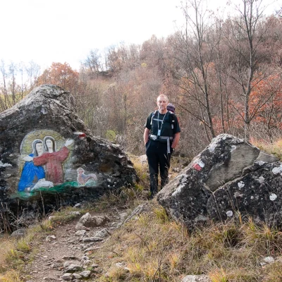
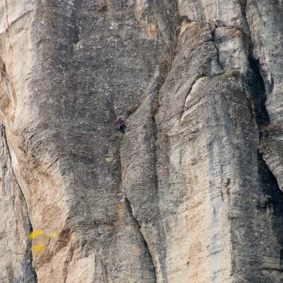
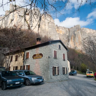
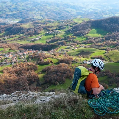
After the short visit, descend the staircase to return to the path, taking it to the right. After meeting the crossroads with path [699], which gives access to the Via Ferrata degli Alpini: ignore path [699] and turn left, beginning a short descent to reach a boulder with a bas-relief and, a little further on, the Fontanacormia landslide. After encountering a building used as an aqueduct, take a cart track that leads into the forest with splendid views of the walls... and climbers challenging the verticality of the rock. The cart track begins to climb and soon reaches a small road and, after a turn to the right, the "La Foresteria" restaurant (875m, 1h30').
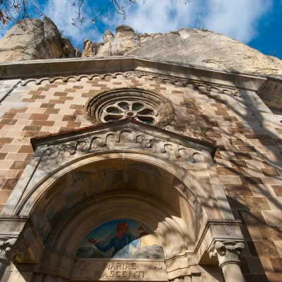
Following the road, you reach Piazza Dante (881m) from which a stone stairway branches off to join the small road leading to the Benedictine Hermitage (903m, 1h35').
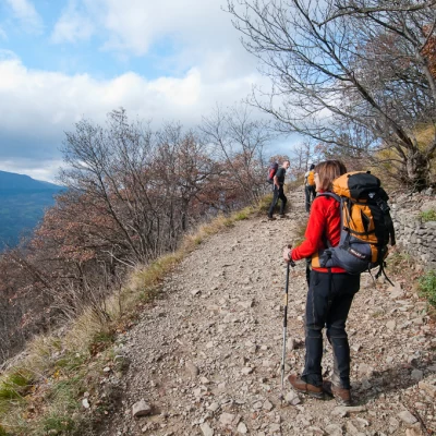
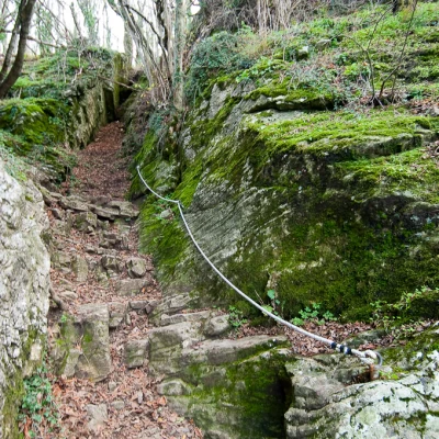
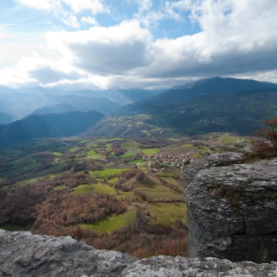
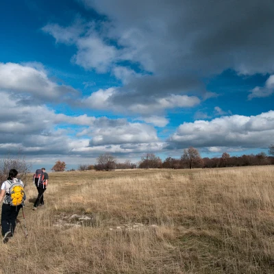
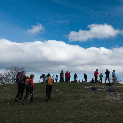
From the Hermitage, continue left along a small road that passes above the Rifugio della Pietra and then becomes a path bordered by wooden railings. The path passes at the foot of the innumerable climbing routes that furrow the vertical walls south of the Pietra. The path contours around the southern slope to the less imposing western side; with a short ascent, it re-enters the forest, passing a short equipped section (without any difficulty) until it reaches a fork: turn right and follow the path that soon reaches the wide grassy plateau that precedes the edge of the crags; a characteristic orientation board allows us to discover the main peaks of the Tuscan-Emilian Apennines.
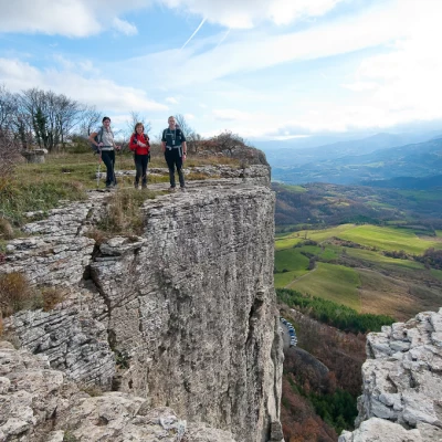
Retracing one's steps, one returns to the previous junction: turn right and follow the path northwards until reaching the summit of the Pietra di Bismantova (1047m,2h15').
Continuing straight on, the path begins to descend, turning immediately to the left and entering the woods again. The path soon becomes a wide cart-track which, with a series of twists and turns, soon leads to an isolated ruin (): turn left and descend the mule-track until reaching Case Pavoni (814m). Before the houses, a new cart track branches off to the right: follow it with a turn to the right until you again meet the road taken at the beginning of the hike. Turn left and walk back along the first part of the itinerary until you reach the starting point (716m, 3h00')
General information
Signposts:
Objective hazard:to be avoided in case of snow
Exposed sections: at the summit... if you lean over the edge of the cliff
Riferimenti Bibliografici
- Le Valli del Secchia e l'Alta Garfagnana - Canossini Davide -
