Primalpia Pass
Introduction
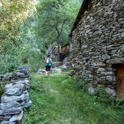
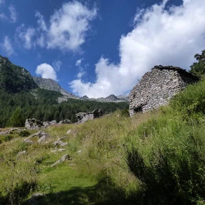
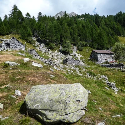
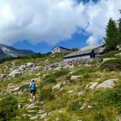
Visit to a wild valley now almost completely forgotten by pastoral and forestry activities; the once numerous mountain pastures are completely abandoned and almost in ruins. Although we are on the route of the easiest crossing between Val Masino and Valle dei Ratti, the absence of logistical facilities and the very long paths discourage even hiking. Obsolete and degraded signposts, with some orientation problems on the ascent.
Description
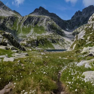
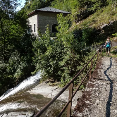
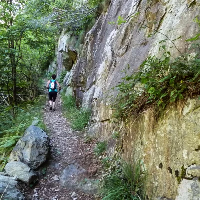
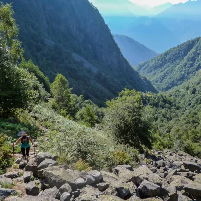
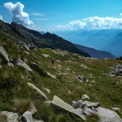
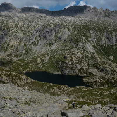
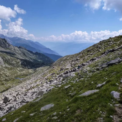
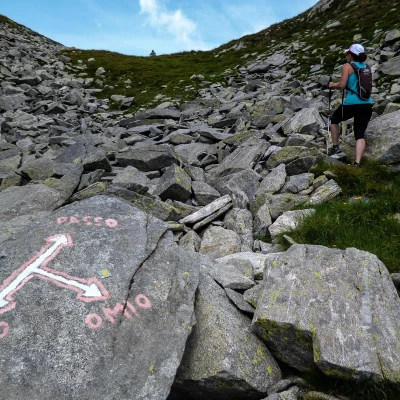
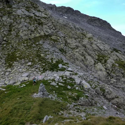
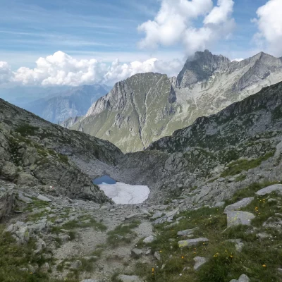
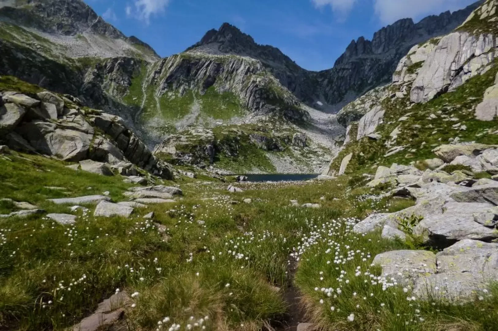
From the car park near the cemetery of Cevo 660m, take the central road of the small village and after just a few dozen metres leave it, turning left along a dirt forest track that ends at a hydroelectric power station. We continue along a path that immediately crosses the Cavrocco stream over a short bridge (beautiful waterfalls, when the water flow is not almost completely captured), and then begin a long stony ascent along the bank of the stream. Having avoided a diversion to the right - poorly visible and not signposted - through woods and sunny stony ground, we reach a votive chapel at the entrance to Ceresolo 1041m (a few huts, some rebuilt, but uninhabited); crossing the pastureland, we find the path again in the woods, high up on the right just beyond an old "Lakes" sign. A long series of hairpin bends of the uncomfortably stony path through a coppice forest leads to the small terrace of Corte del Dosso 1450m, with its ruined huts. From here, the trail is of very variable quality: alternating between evident and indecipherable sections, it broadly follows a wooded ridge where clearings with remnants of huts open up at successive heights (Corte di Cevo 1521m, huts Q1776m, Casera Spluga 1939m). Beyond this last alpine pasture, you ascend a long pastureland with sparse signs on the stones; then, beyond a hump, you gradually move to the left, entering a sort of grassy corridor that runs - from above - along the course of the stream, which here widens into beautiful, clear loops. Along this stretch, the isolated huts of Q2076m and Q2110m flank the path. After a few short ups and downs, where sections of an ancient, stepped mule track can be seen, we suddenly come out on the shores of the beautiful Lake Spluga 2160m. You then continue - having spotted your destination on the left of the two passes in front of you, above the lake - climbing the very steep grassy-stony slope on the left until you reach an upper moraine terrace: here, quite unexpectedly, you come across a track (remnants of the Sentiero Italia signs in paint) which, followed to the right, heads best towards the pass. In the last few hundred metres, we join the recently signposted 'Sentiero Life' path (from Lago di Mezzola to Predarossa): ascending it to the left, we reach the little cairn of the Passo di Primalpia 2476m in a few steps. The panorama is limited by the narrowness of the Valle dei Ratti valley below, but the view of the nearby Sasso Manduino peak is beautiful. Return along the outward route.
