Smugglers' Pass, from Case di Viso

Edited by:
Ivano Ruffoni
Updated at: 01/12/2025
Access
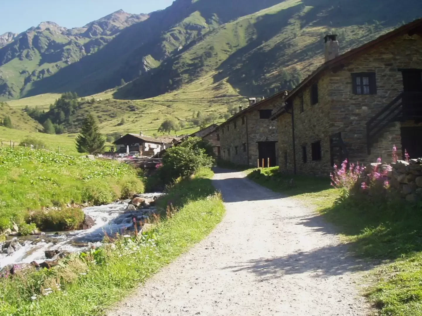
At the Ospitaletto exit of the [A4] motorway, follow the local signs for Valle Camonica following the SP19 and SP510. Near Pian Camuno go up the valley on the SS42 del Tonale e della Mendola road to Edolo, turn right towards Passo del Tonale, pass Incudine, Vezza d'Oglio, Temù and Pontedilegno. Shortly after the first hairpin bend following Pontedilegno, turn left onto the road to Passo di Gavia and climb up Valle di Pezzo. After two more hairpin bends, turn right towards Pezzo, enter the Viso valley and continue to the Case di Viso car park (1763 m).
* Note #1 Pontedilegno can also be reached from Valtellina - via the Aprica pass (SS39) and the Gavia pass (SS300) - or from Trentino - going up the Val di Sole and the Val Vermiglio valley via the Tonale pass (SS42).
* Note #2 The road from Pezzo to the Case di Viso is one-way during the middle of the day. It may therefore be necessary, when returning by car, to take the dirt road on the orographic side opposite the outward journey, reconnecting with the SS42 of Tonale and Mendola near the fourth hairpin bend.
Introduction
The itinerary leads to the visit of several remains of settlements and military constructions of the "White War", conducted from 1915 onwards among peaks, rocks, snow and glaciers, on the border line that, starting from the Stelvio, across the Adamello, reached Lake Garda. The excursion is on an easy dirt road up to the "Angiolino Bozzi" Montozzo Refuge and then in a severe environment up to the Contrabbandieri Pass, an excellent panoramic balcony over the "Presanella Group". The proposed itinerary takes place entirely in the Stelvio National Park (Nationalpark Stilfser Joch).
Description
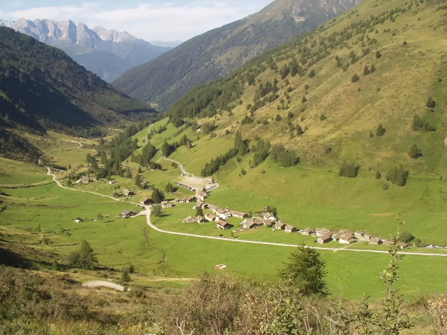
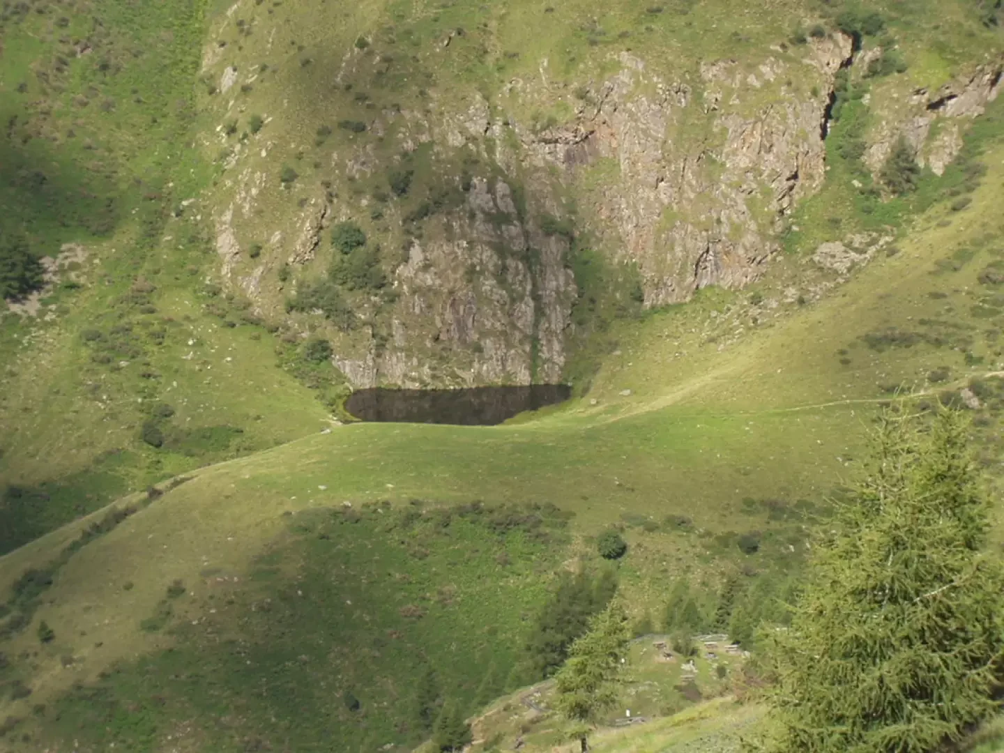
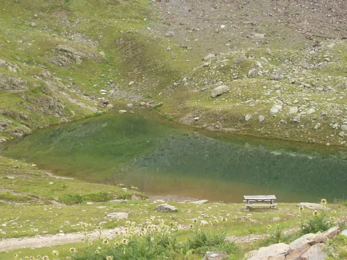
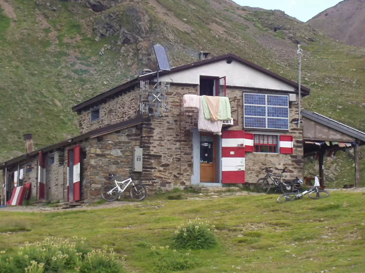
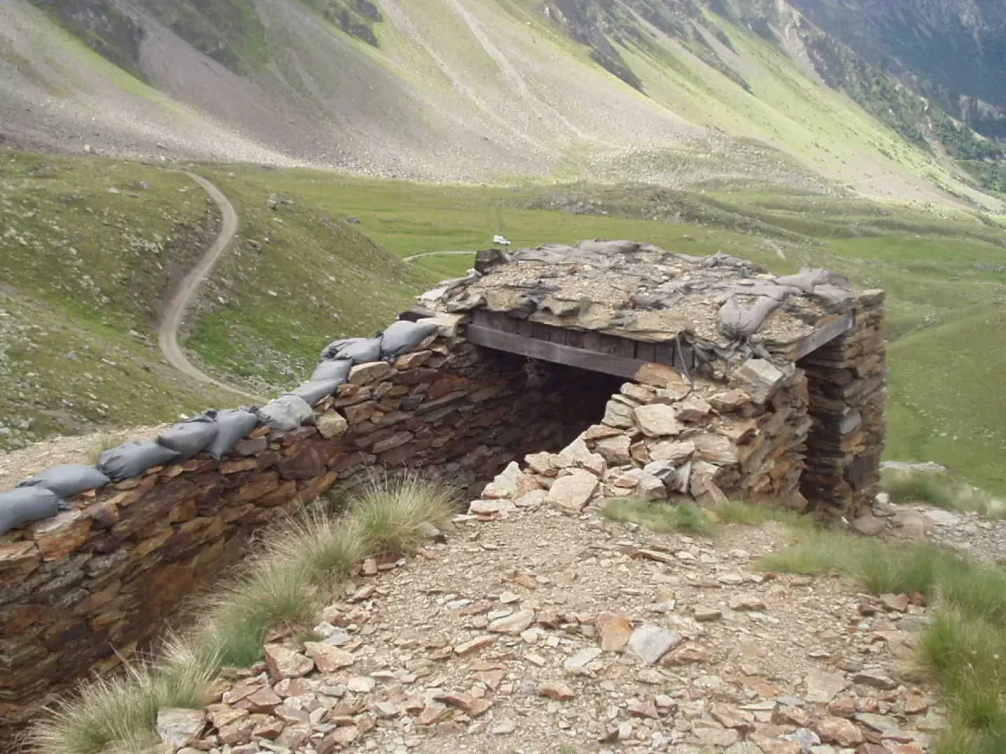
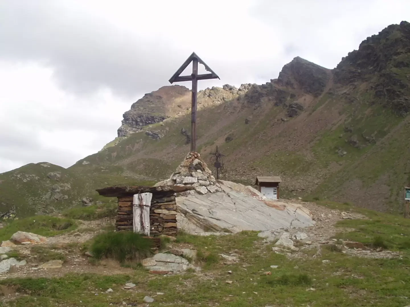
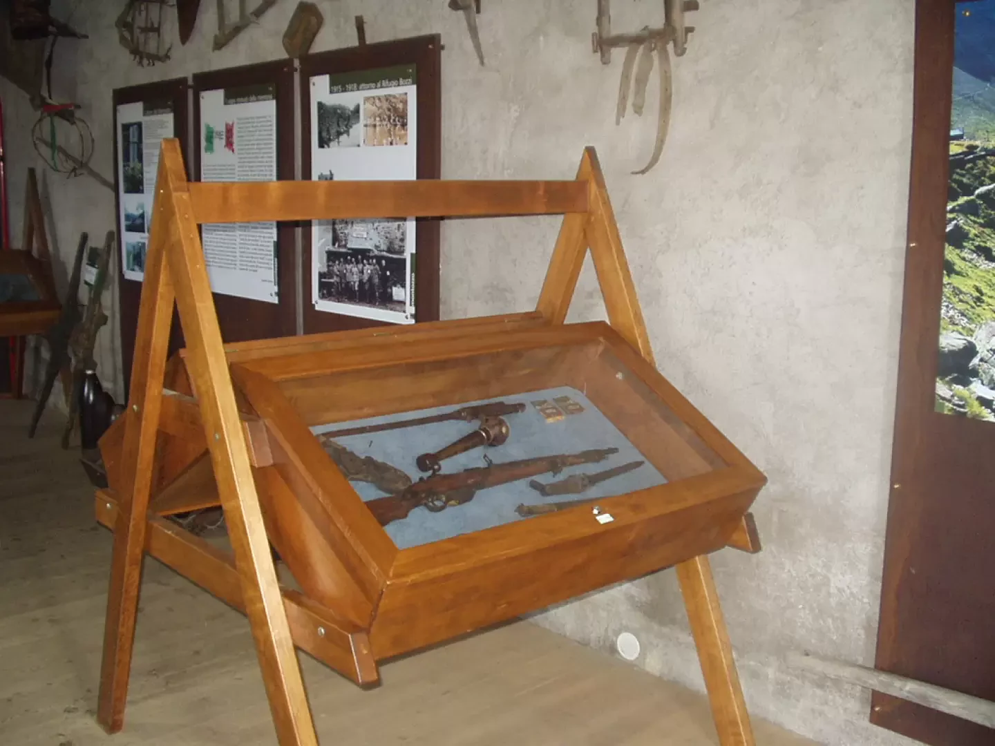
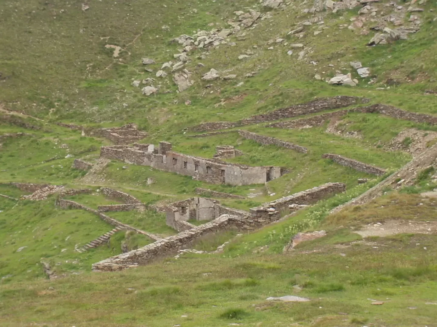
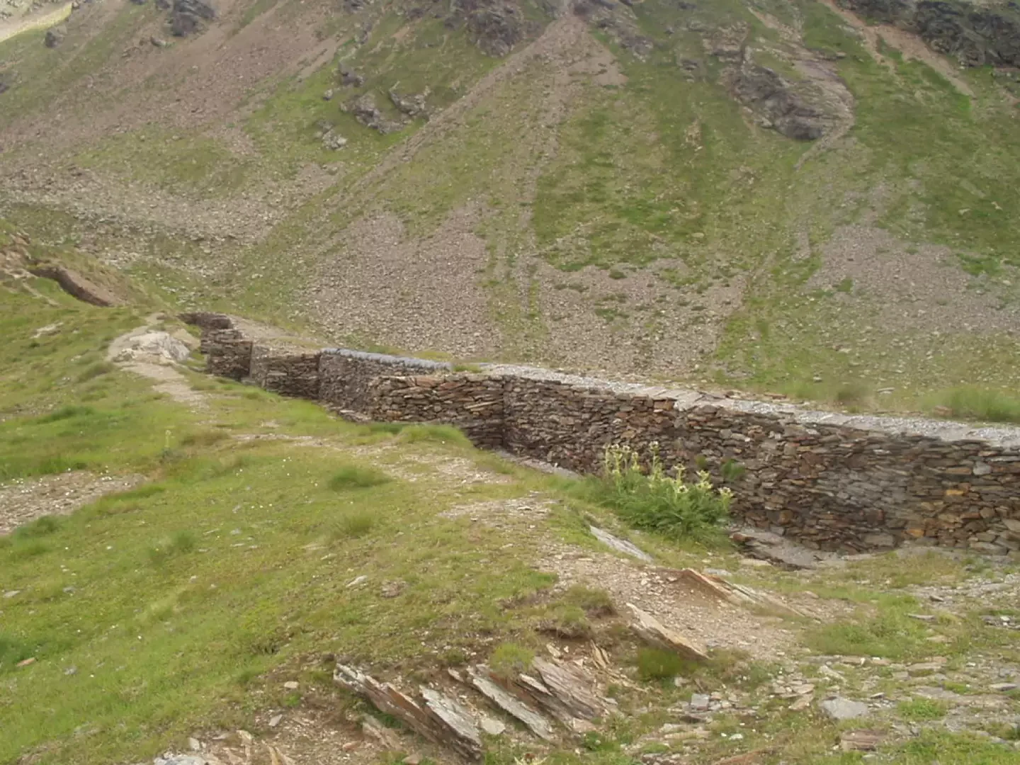
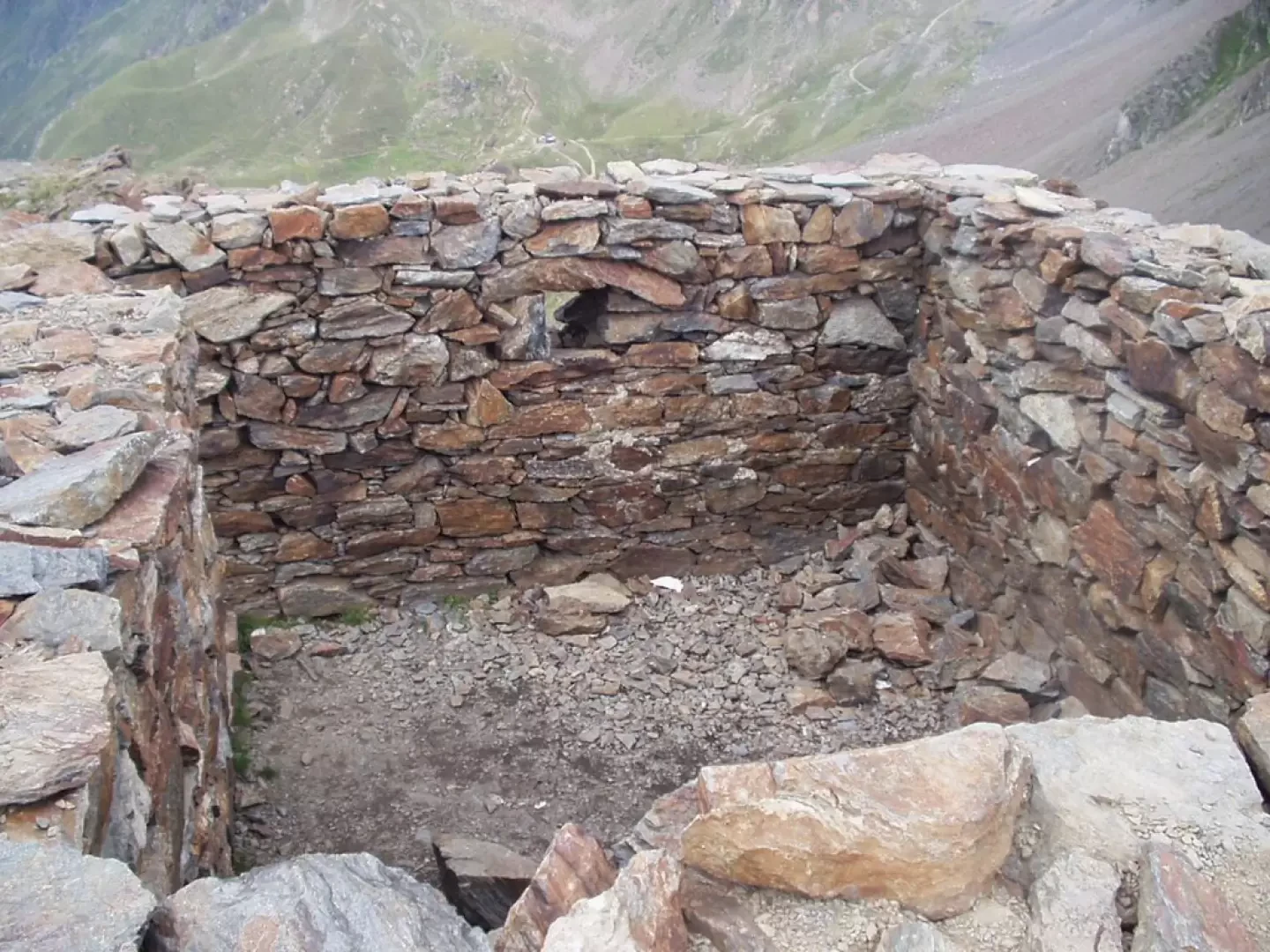
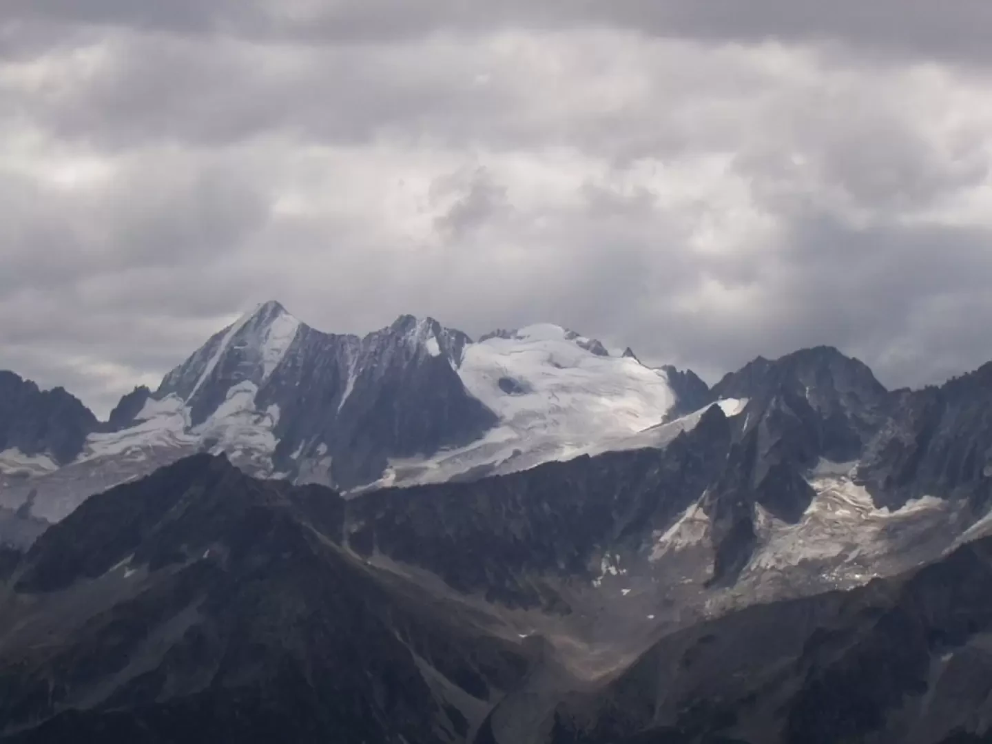
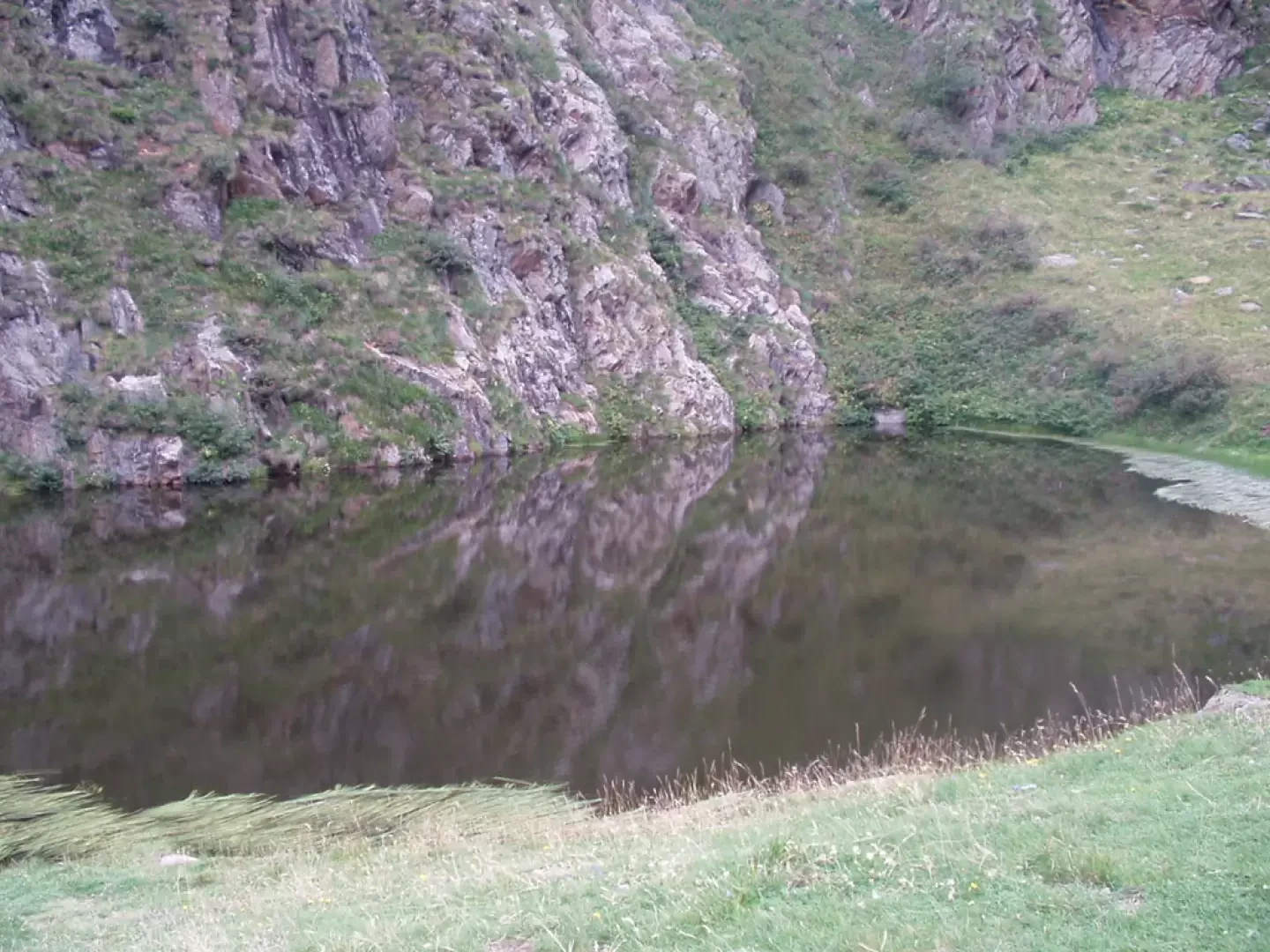
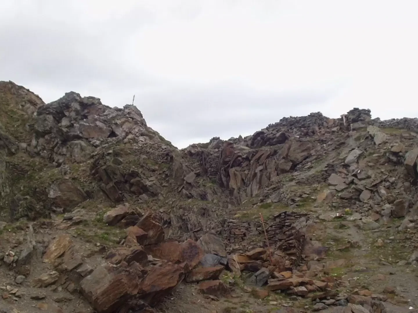
From the car park, continue to cross the Case di Viso (1763 m) following trail marker 52, next to the Oglio Arcanello, until you rejoin the dirt track that goes round the strip of houses. Following the dirt track, proceed as far as the first hairpin bend to the right, where you can follow the shortcut that cuts across the second hairpin bend, or alternatively after a few dozen metres. You will soon reach the "Pra del Rum" picnic area (1877 m, 0h15'), which can also be reached by car. Disregarding the signs for the Ercavallo lakes and the Laghetto di Viso on the left, continue to the right on the dirt road, marker 52. By turns, climb the grassy slope with beautiful views of the Viso valley below and the small lake of the same name. As you proceed, the possibilities for shortcuts on the numerous hairpin bends become more numerous and evident. Continuing through grass and bumps, we come in sight of the building, close to the hut, which houses the museum. We pass by the lower Montozzo pond and, leaving the dirt road to the right, we skirt the emissary stream of the upper Montozzo pond. When you reach the lake, turn left and climb up the hump on which the Rifugio Montozzo "Angelino Bozzi" (2478 m, 1h45') stands. The area is well worth a prolonged stop: nearby are the crucifix, some trenches, a watchtower, the museum with finds from the surrounding war zones, the military village and the firing positions. Back down to the small lake, take the trail sign 111 on the left and climb up to cross, with a long diagonal, some extensive cones of landslides and debris up to the hairpin bends, somewhat exposed, of the final ascent to the Passo dei Contrabbandieri (2681 m, 2h25'). At the pass there are more remains of military settlements, a large cairn and ... stupendous views of Cima Presanella (note also, to the north-east, the via ferrata ridge to the Forcellina di Montozzo).
The return journey takes place partially on the same route: down to the refuge (2478 m, 0h25') and to the "Pra del Rum" picnic area (1877 m, 1h25'). Now, as an alternative to the direct descent, it is suggested that you cross the picnic area on the right and, following trail marker No. 62, cross the bridge over the Oglio Arcanello, shortly leading to the Laghetto di Viso (1h35'). You now descend a grassy hump and, with a subsequent long diagonal across meadows, you reach the car park of the Case di Viso (1763 m, 1h50').
General Information
Path:from Case di Viso
Signposts: 52, 111, 52 and 62
Type of route: partially circular
Recommended period: June, July, August, September
Objective Danger:none
Sun exposure:east
Exposed sections:none
Bibliographic references
* Ponte di Legno, Alta Val Camonica, Passo del Tonale N. 107 - Kompass 1:50000
* Stelvio National Park, Nationalpark Stilfser Joch N. 072 - Kompass 1:50000
Road access
Photo gallery
Passo dei Contrabbandieri (2681 m) Author: Ivano Ruffoni * Other hikes by the same author No comments None Last modified: 11.03.07 Passo dei Contrabbandieri (2681 m) - © 2006 Ivano Ruffoni Passo dei Contrabbandieri (2681 m) - © 2006 Ivano Ruffoni Details of the excursion Type of itinerary: Partly circular Difficulty: Hikers (E) Physical effort: Medium Objective dangers: none Signposts Signpost No. 52, Signpost No. 111, Signpost No. 52 and Signpost No. 62 Total time: 4h15' Ascent time: 2h25' Descent time: 1h50' Height at departure: 1763 m Height at arrival: 2681 m Difference in height: Ascent 918 m Max height reached: 2681 m Exposure: Recommended period: June, July, August, September Water Water Bibliography: * Cartography: * Ponte di Legno, Alta Val Camonica, Passo del Tonale N. 107 - Kompass 1:50000 * Stelvio National Park, Nationalpark Stilfser Joch N. 072 - Kompass 1:50000 I
Galleria fotografica