Herin's siphon
Access
From the Châtillon-St.Vincent motorway exit, follow the signs for Cervinia until you reach, after about 10 km, the municipality of Antey-Saint-André.
After the large square where the tourist information office chalet is located, take the SR8 to La Magdeleine and after 1.9 km, just before the second hairpin bend after the village of Antey, park your car in a small lay-by on the right.
Introduction
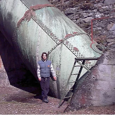
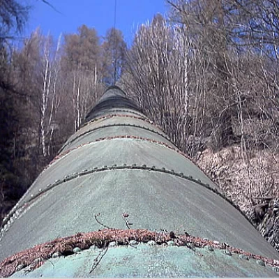
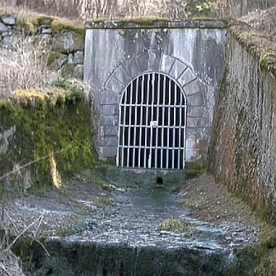
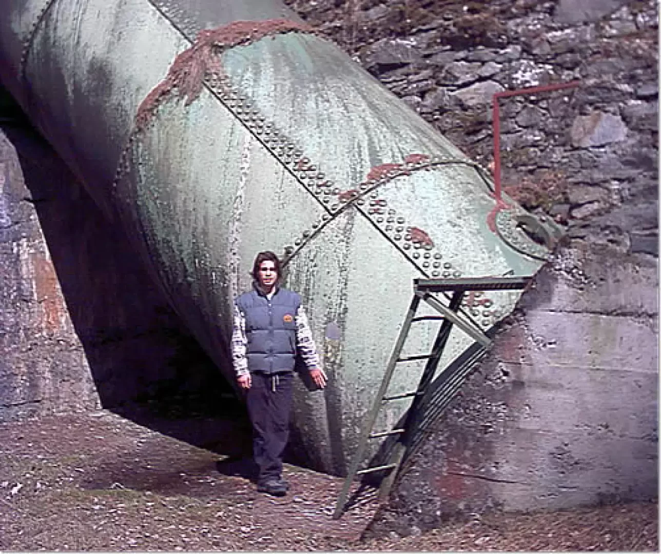
The first part of this short walk leads in less than 10 minutes to the base of the siphon, the enormous steel tube more than 2.50 metres in diameter that connects the two sections of the tunnel channel leading from Maen to the penstocks of the Covalou power station. Those who wish to do so, without being frightened by the first short but decidedly steep section, can ascend along the path that leads to the south terrace of the siphon and then from there continue with a few gentle ups and downs to the Antey stream and, along the other side of the valley, reach the north terrace.
In the Herin siphon, the water that falls in the almost 150 square kilometre catchment basin that feeds the Covalou power station is channelled; up to 10 cubic metres of water per second can pass through the large steel pipe, which is equivalent to a glass of water for every inhabitant of the Aosta Valley. In the same time it takes to travel this route at a good pace, about one hour, all the drinking water consumed in one day in the Aosta Valley could pass through the pipeline when fully loaded.
Description
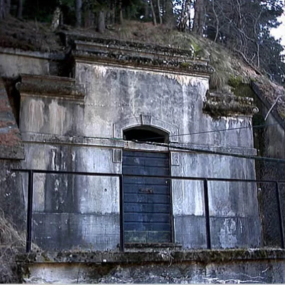
Leaving the car behind, continue for a few metres until you reach the beginning of the easy path that plunges into the forest just at the hairpin bend and heads level towards the inside of the gorge. In a few minutes, you reach the forest track, which with a moderate slope leads first to the bottom outlet of the siphon and immediately afterwards to the command hut and the base of the enormous pipeline. Right next to the little house, on the right as you arrive, starts the path that leads to the south terrace. After overcoming the first section, which is particularly steep but lasts about ten minutes in all, you walk through the mixed forest with wide bends, gradually ascending between splendid carpets of moss moved here and there by wild boars in search of food and sprinkled with the cones of fir trees gnawed by squirrels. After passing the small scree formed by the debris extracted from the tunnel, the path continues on level ground until it reaches the terrace, where the enormous pipe ends by flowing into the tunnel channel. On the other side of the valley, one observes the beginning of the siphon that plunges for about a hundred metres to the bottom of the valley and, following the cable connecting the two tunnels with one's eyes, one catches a beautiful glimpse of the village of Hérin, nestling with its stone houses and numerous rascards on the hillock dominating the north terrace. Continue along the path, enlivened by a few short ups and downs, that cuts across the steep slope, heading practically level towards the bed of the Antey stream. Along the way, a small valley is encountered that must be crossed with a little agility, and a little further on, the silence is broken by the murmur of water from several small streams cascading down a carpet of moss. After crossing the stream bed without difficulty, which has been reduced to little more than a rivulet due to hydroelectric withdrawals, we pass to the orographic right of the valley, where, thanks to the more favourable exposure while maintaining the same altitude, the coniferous forest gives way to deciduous forest. Walking in the quiet shade of ash and alder trees, punctuated here and there by a few larches, we soon reach the northern terrace where the trail ends in a small grassy plateau. On the way back, just before the Antey stream, a botanical curiosity is clearly visible upstream of the path, bearing witness to an old subsidence of the slope. It is a pine tree about 60 cm in diameter, which is inclined like the Tower of Pisa up to a certain height, then suddenly straightens up. The oddity is explained by a small landslide that affected the foot of the tree, tilting it uphill. Once the ground had settled, the tree overcame the trauma, emitted new roots and continued its vertical growth, reaching its present fair size in a curious arch shape.
