Pontese Refuge
Description
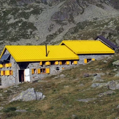
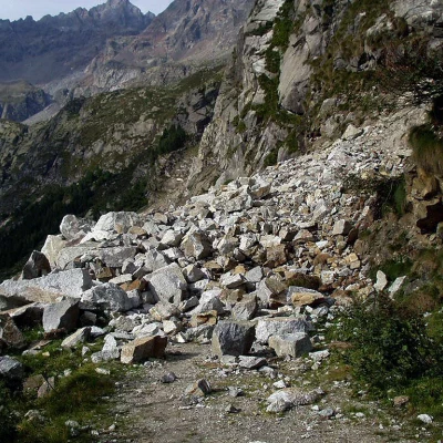
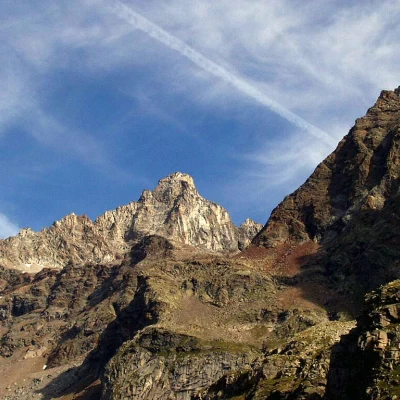
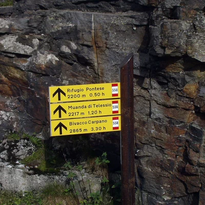
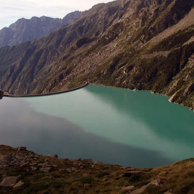
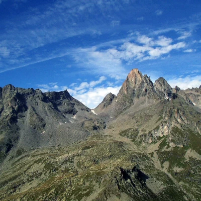
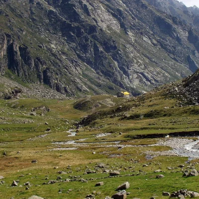
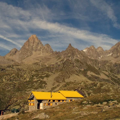
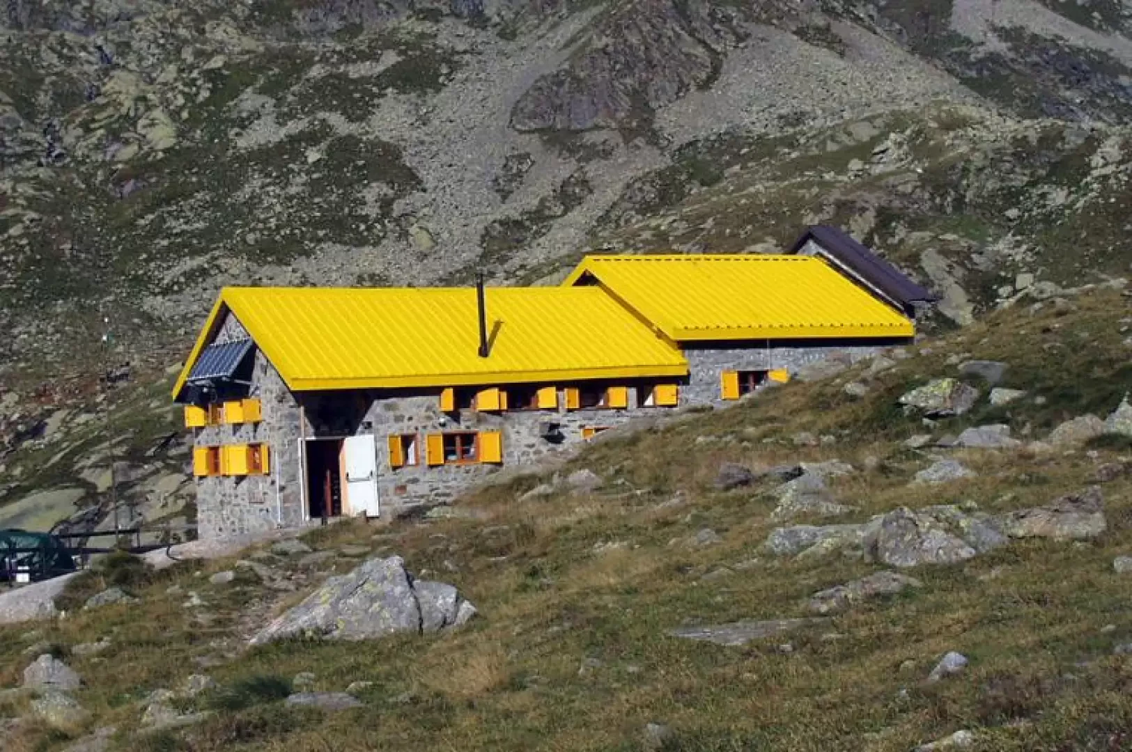
Take the dirt road, signpost [558], which starts from the car park at the dam. When you arrive at the concrete construction, a sign illustrates the two paths leading to the Pontese Refuge: the first, the old one, the subject of this description, leads to the refuge, crossing an area potentially subject to landslides and rock discharges; the second, newly marked, goes along the dam and climbs up the opposite orographic side. Proceed along the mule track that runs along the orographic left side of Lake Teleccio, bypassing a first landslide of unstable rocks and a second, more modest one. At about 3/4 of the lake, the mule track ends. We now follow a steep path, paying attention to the suspended loads moved by the refuge's cable car, enter a small, sparse grove and then, with numerous hairpin bends between slabs of rock deposited in the form of steps, ascend to the southern edge of the Piana delle Muande. The view of Lake Teleccio below is magnificent. We turn slightly to the left and, with a moderate incline, arrive at the Pontese hut (2200m), with its characteristic yellow-coloured roof. It is now worth taking a short walk along the Piana delle Muande (allow 45 minutes round trip), in the direction of Bivacco Carpano, among abandoned alpine pastures and the flora and fauna of the Gran Paradiso National Park. From the northern edge of the Piana delle Muande, to the north, the Torre del Gran San Pietro is clearly visible; to the east, the Becchi della Tribolazione and Blanc Giuir can be seen, and to the north-east, the Becco di Valsoera. The descent follows the same route as the outward journey.
.