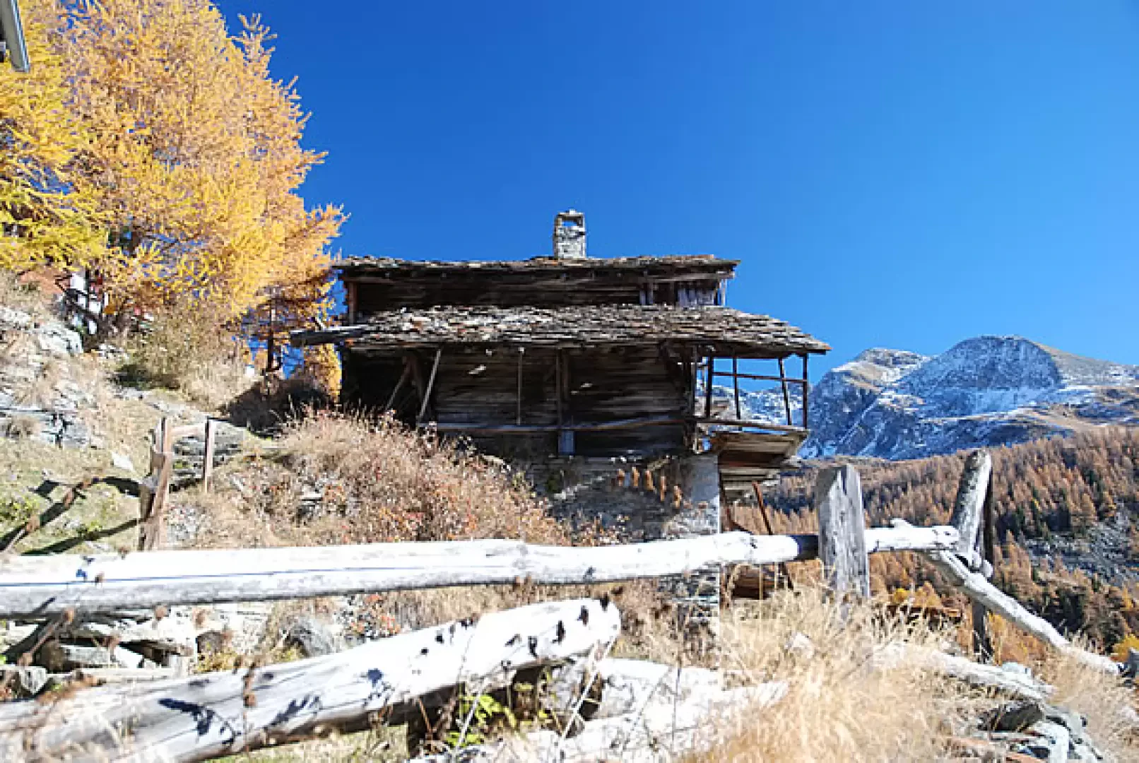
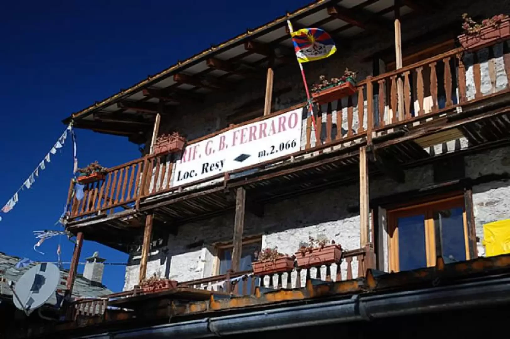
Ferraro Refuge, from the Frachey car park

Edited by:
Massimo Martini
Updated at: 25/10/2025
Access
Leaving the motorway at the Verrès exit, enter the roundabout and take the second exit. Proceed in the direction of the town centre and, after 300m, turn left onto the regional road for Val d'Ayas. Follow the regional road for 16.5 kilometres, passing the villages of Challand-Saint-Victor and Challand-Saint-Anselme, Brusson, Vollon, Extrapieraz, Periasc and Champoluc. After about 30 kilometres you come to the large car park at Frachey (where the Monterosa Ski rack starts): here there is a shuttle service that takes you to the small square in Saint-Jacques. If you arrive before 7 a.m., it is possible to go up a short distance and park in a car park to the left of the road: in this case, you will have to add about 500m of walking.
How to get there with GMaps
How to get there with Apple Maps
Introduction
Short hike along the paths of the Alta Via 1 and the Tour du Mont Rose. The climb, which is steep in places, is rewarded with the Walser atmosphere of the village of Résy and the warm welcome of the hut managers.
Description
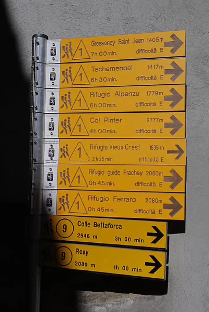
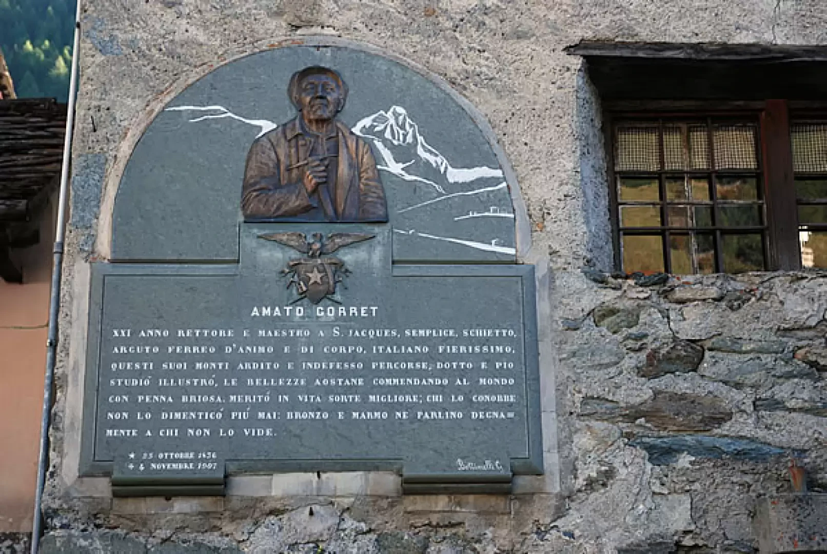
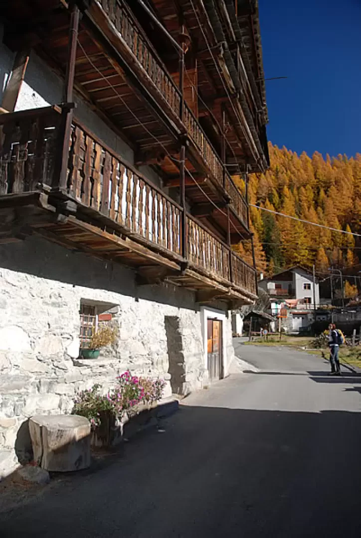
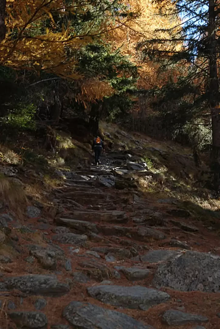
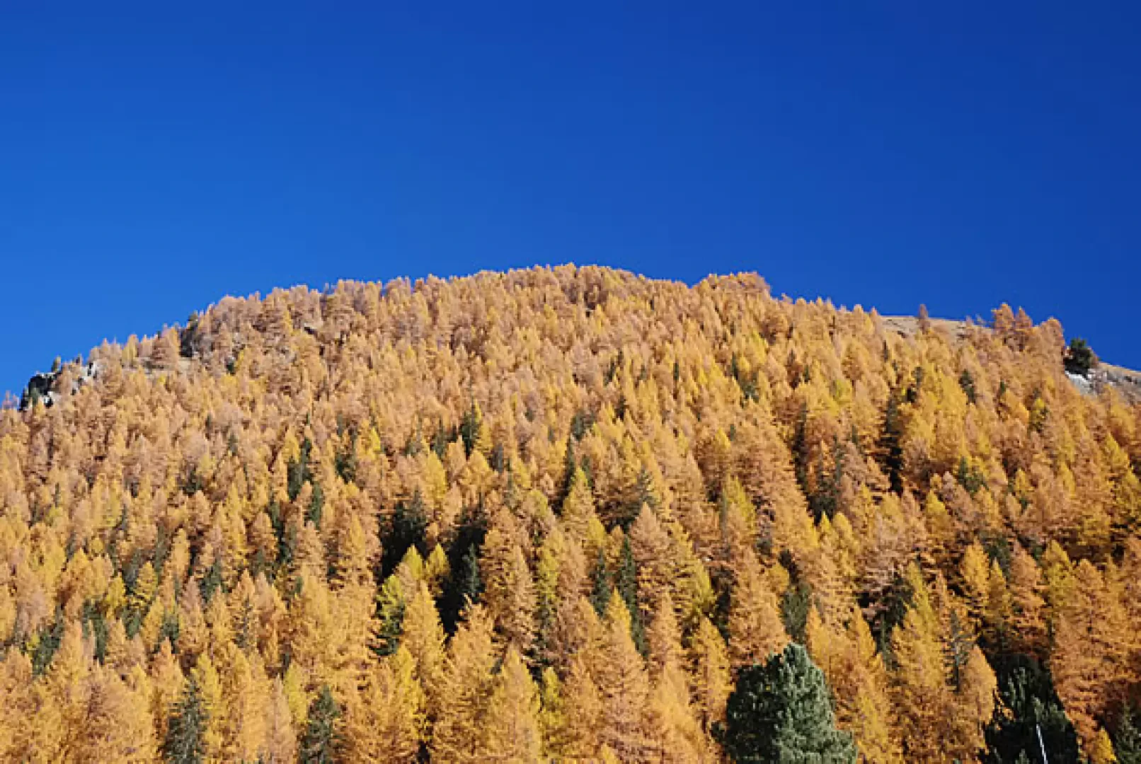
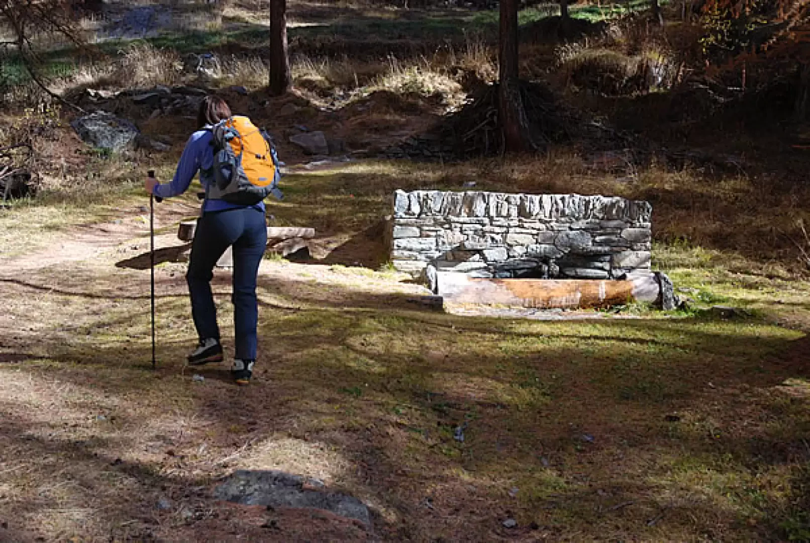
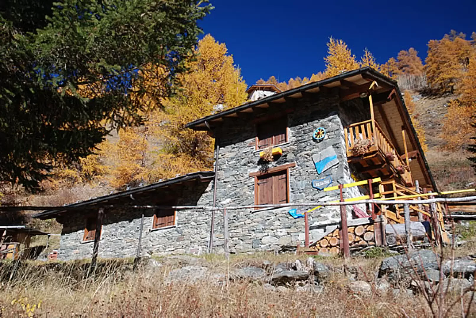
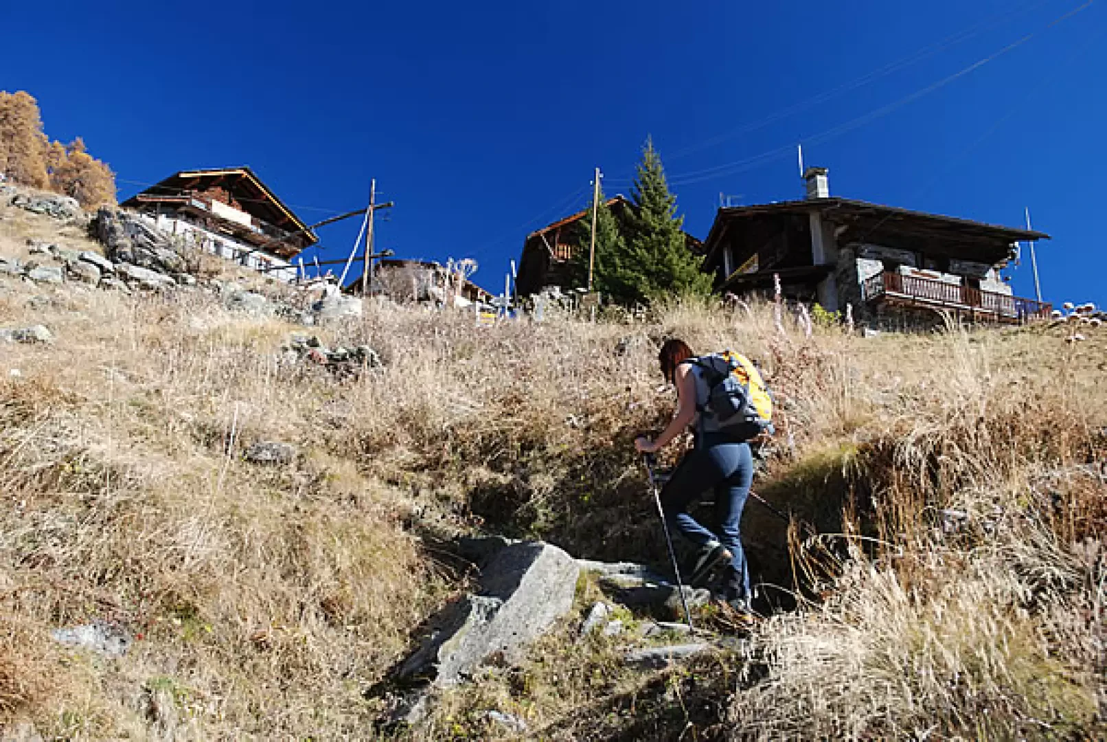
From the car park, proceed on the tarmac road, passing the little church of Saint-Jacques and meeting a signpost: follow the signs for the Alta Via 1. You pass through the village of Saint-Jacques, passing near the little church where Abbé Amé Gorret worked for many years. You leave the village and meet the start of the mule track. One enters the forest along the beautiful paved mule track that climbs the larch forest (which is ablaze with colour in autumn). You reach a small clearing and cross a farm track, passing near a spring. Continue until you meet the track again: cross it and climb up the short meadow to reach the "colourful" Resiac hamlet (1800m, 0h30'). Walk along the hamlet to the right and reach the end of the track: here, continue along the path that, with a couple of long hairpin bends, reaches Raccard (1911m, 0h40'). Retrace your steps back into the forest and climb up the track until you reach a fork in the path: turn right, taking you to the steep pastures of Résy. Climb up the mule track to the first hamlets of Résy, including the Guide di Frachey hut, until you reach the Ferraro hut (2086m, 1h00').
The descent follows the same route as the outward journey (0h30').
General Information
Path:from Saint-Jacques
Signposts: 9 - AV1
Type of route: a/r
Recommended period: May, June, July, August, September, October, November
Objective Danger none
Exposure to the sun: south, but the route is almost entirely in the shade of the forest
Exposed sections:none
Water: Saint-Jacques, Résy
Bibliographical references
- Martini M., Zavatta L., Rifuges and Bivouacs of the Aosta Valley, Editrek and L'escursionista Editore, Saint-Vincent - Rimini, 2012
- Martini M., Tracce Lievi, Martini Multimedia Editore, Saint-Vincent, 2007
Riferimenti Bibliografici
- Rifugi e Bivacchi della Valle d’Aosta - Martini M., Zavatta L - Editrek e L’escursionista Editore, Saint-Vincent - Rimini, 2012
Galleria fotografica