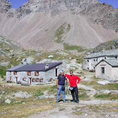
Cunéy Refuge, from the Porliod car park
Access
You leave the motorway at the Nus exit and head in the direction of state road 26, which you join by turning left: after about 900 m, turn right and follow the sr36 to Saint-Barthélemy and then, just before the historic centre of Nus, turn left. From here, go up the regional road passing the villages of Petit-Fénis and Blavy and, after 14.7 km, you will come to a fork in the road at a bend: turn left and continue towards Lignan. After passing the village of Issologne, after 18.5 km you reach Lignan: from here, continue to Porliod following a narrow road through the villages of Saquignod, Vénoz and Crét until you reach a large car park located near the start of the route.
Introduction
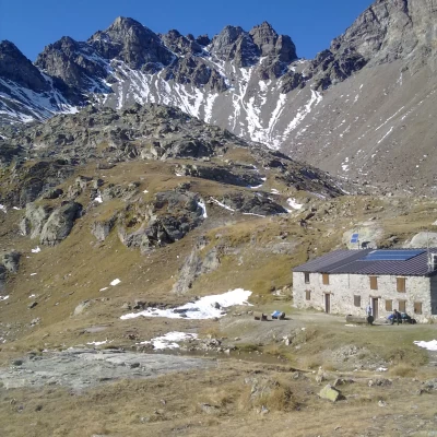
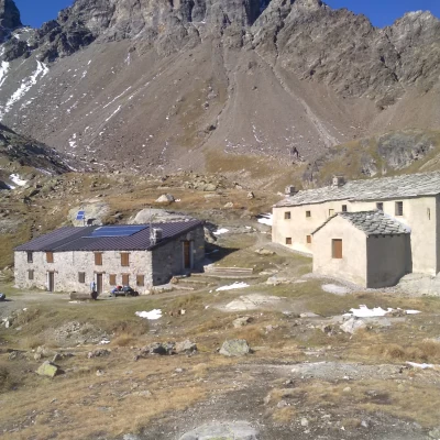
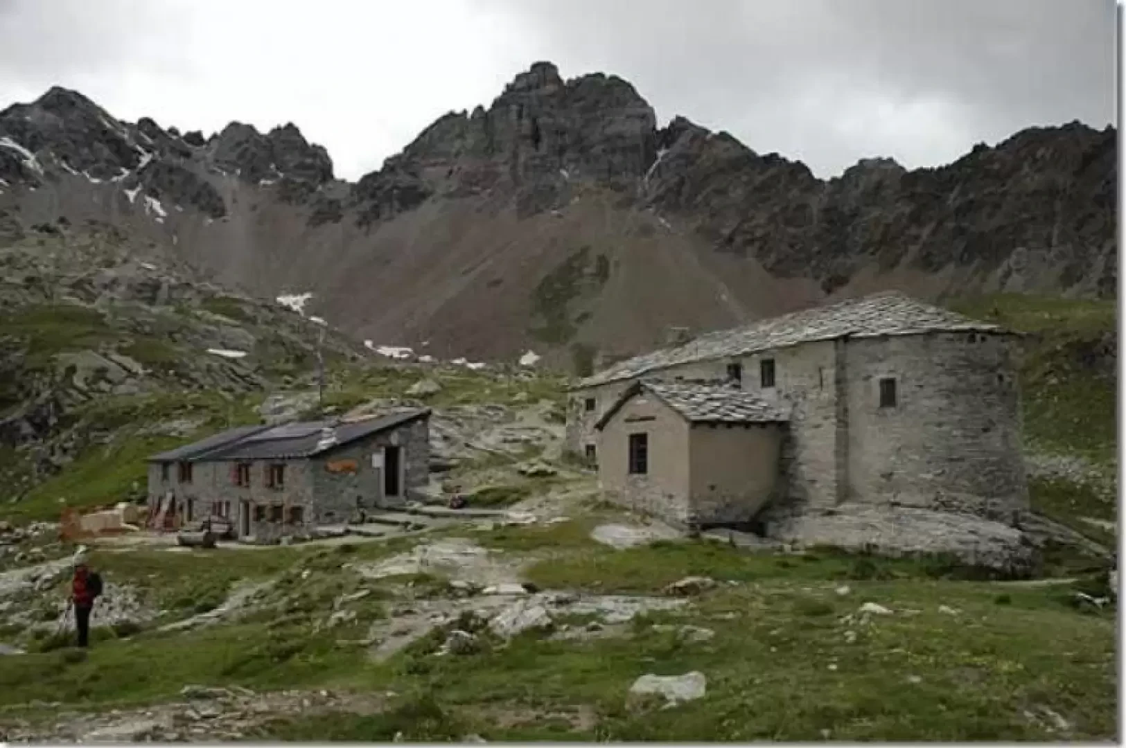
Between spirit and nature: this could be the subtitle of this hike. The route winds its way through prairie forests and rugged rocky environments to reach the refuge and the adjoining sanctuary.
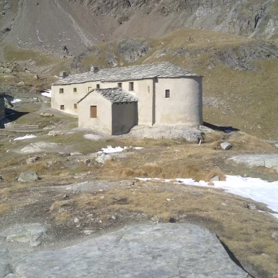
Near the refuge is the Cunéy Sanctuary, a place of worship built as far back as 1650. Every year, on 4 August, there is a procession dedicated to the Madonna delle Nevi. Inside there are countless ex-votos.
.Description
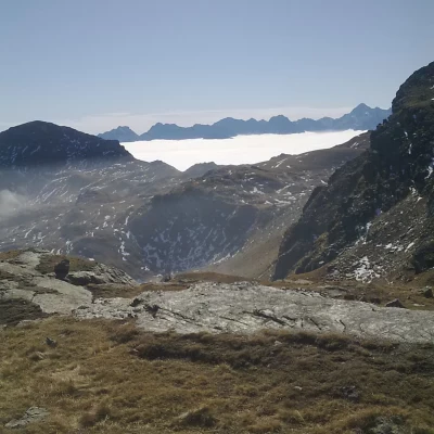
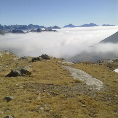
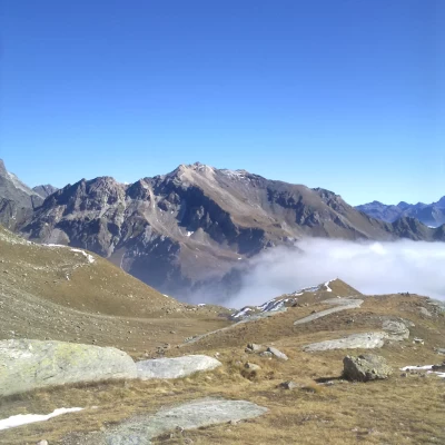
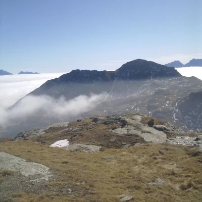
Leaving the car park, take a short mule track near the signposts for the refuge: after a few minutes you reach a farm road near the Larset cottages (1930 m, 0h05'). A few metres after the alpine pastures, you come to a marker indicating that you should turn left towards the Cunéy hut (b): you begin to climb up a pasture, entering after a few minutes into a short strip of larch (Larix decidua); you cross pastures again, those below the Plaisance alpine pasture. Re-enter the beautiful larch forest and continue climbing until you cross the farm road leading to Fontaney: cross it and continue climbing, soon reaching the beautiful pastures below Mont Morion. Continue along the verdant slope that leads to Tza Fontaney. Turning around, you can savour the view of the splendid mountain scenery south of the Dora Baltea: from Mont Barbeston to the distant peaks of Valgrisenche. After meeting a wooden panel indicating the direction to Col Salvé, the path loses its slope and reaches Tza Fontaney (2307 m, 1h00'). From the mountain pasture, turn right and climb up the grassy path that, with a series of twists and turns, reaches Col Salvé (2568 m, 1h45'): visible from below thanks to the cross erected by the alpine troops and rebuilt in 1999. At the pass there is a memorial stone in memory of 4 ski mountaineers who perished here in 1970 due to an avalanche.
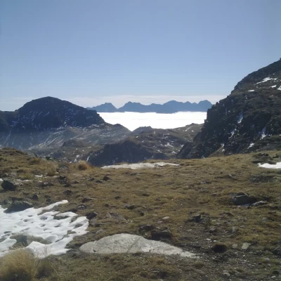
On reaching the pass, descend for a short distance until you reach the junction for Col Chaleby: continue straight ahead in a slight descent until you come to the junction, which is not very evident, for the refuge following the equipped path. Here you can choose whether to follow the equipped path, which is more direct with exposed stretches where handrail chains are placed, or to continue downhill for a short distance and then begin the ascent, with a series of twists and turns, towards the hut. The last part of the ascent is gentle, accompanied by views of small lakes and streams. Passing a few rock faces equipped with a few bolts, you finally reach the Cunéy hut (2652 m, 2h20').
The return is along the same route as the outward journey.
General Information
Path:from the Porliod car park
Signposts:11
Type of route: a/r
Recommended period: June, July, August, September, October
Sun exposure:east, south-east
Objective hazards:none
Exposed sections: only if you take the Passet, the variant of the path equipped with chains after the Col Salvé
Useful equipment:normal hiking equipment
Water: Larset, Plaisance, Tza Fontaney, Refuge Cunéy
Start of the Manzi trail at Larset Pastures below Plaisance Mont Morion Panorama to the south...
Tza Fontaney Col Salvé Reflections Equipped section inside the Sanctuary
