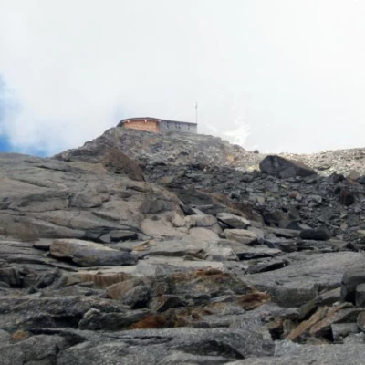
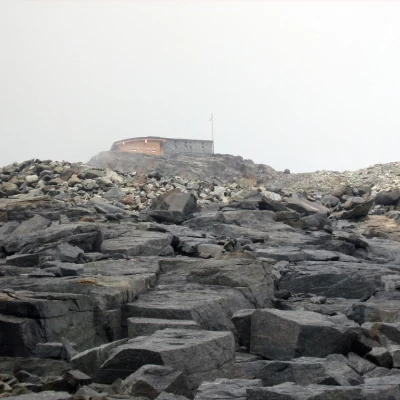
Rifugio Città di Mantova, from Passo dei Salati
Introduction
Medium difficulty route, very well marked. Suitable for people who have no experience with crampons, but who still want to go to altitude. There are no glaciers or snow-covered sections in the summer season.
Description
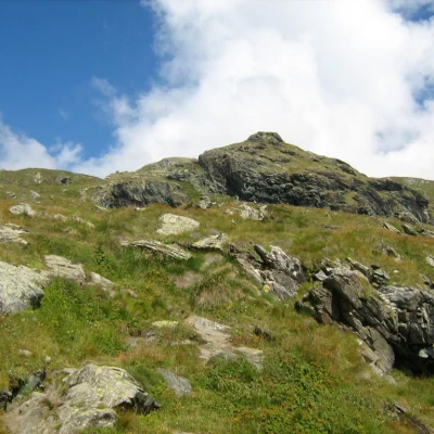
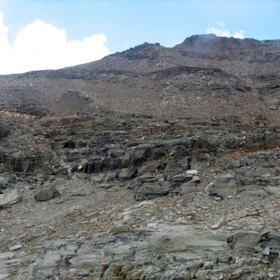
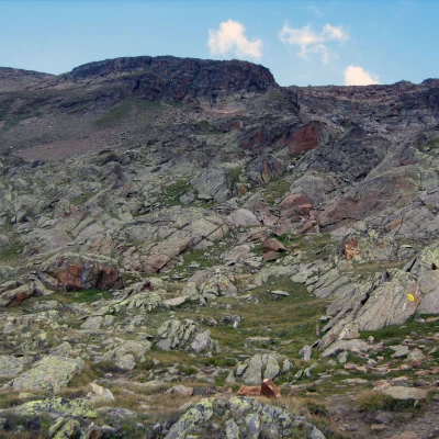
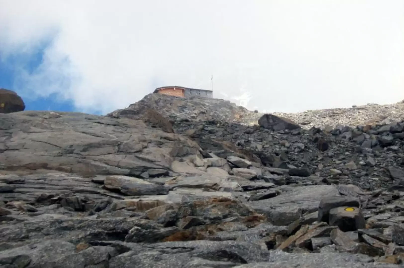
Leaving the car in the large Staffal car park, take the first section of the cable car to the Salati Pass, but stop at Lake Gabiet. From here, take the signpost number (6A). For the first 2km or so, the route is fairly easy, the path is beautiful and there are no stones. Afterwards, the route begins to climb in hairpin bends and you go around two rocky hills, here the path is still very visible but the ground is mixed with stones. The last kilometre is a huge rocky valley where you have to get your bearings a little, although the hut can already be seen and the route is marked on the rocks every 10 metres or so. The last twenty metres you have to climb the rocks a little bit even though it is not very difficult.
