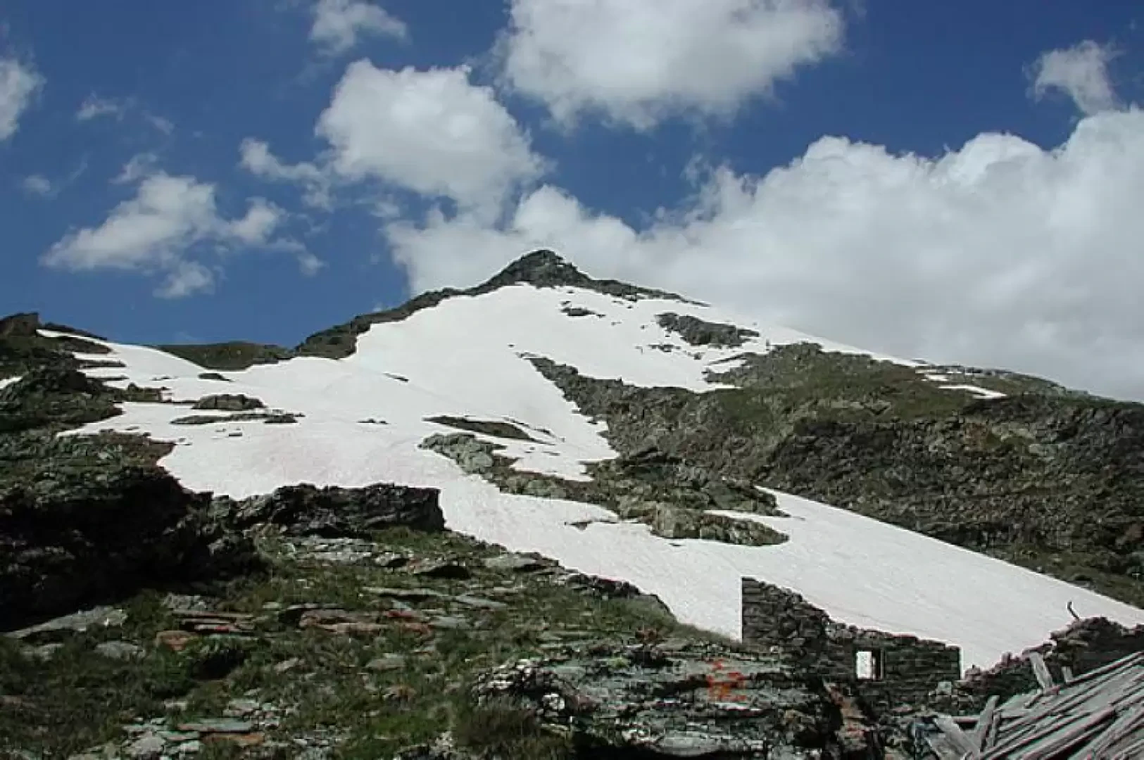
Shelter Captain Ricci, from Rognettaz dessous

Introduction
When the valley leading to the Col du Mont and the lake of San Grato is still very snow-covered, as it was in 2008, you can make a beautiful hike in the area on beautiful slopes well exposed to the sun, climbing up to the col below Arp Vieille and from there to the Captain Ricci hut. The panorama from the ridge is very wide, sweeping from Ruitor to all the mountains of Valgrisenche, including those on the borders of Val di Rhêmes and France.
Description
The dirt road starts (1940 m) climbing up shaded by a few larch trees, curves to the right, and immediately afterwards overlooks wide meadows, giving us a good view of the departure, below, for the Bezzi hut and the route. We continue in full sunshine, in June, among meadows full of anemones, buttercups, gentians and orchids, and reach the huts of Grand'Alpe (1988 m, 0h15') after which, on the right, there is a monument dedicated to 33 workers who died under an avalanche in an attempt to reach the Col du Mont in January '45. We continue along the road that cuts across the slope until we reach the Revéraz desot alpine pasture (2153 m, 0h45'): from the alpine pasture, we can see the Col du Mont notch and the remains of the building on the border. Immediately before the hut, a path rises to the right, unmarked but clearly visible. After the first hairpin bends, it turns decisively to the south-east and crosses to the Revéraz damon alpine pasture (2324 m, 1h20'). Here, take the high path to the left coming from the Lake of San Grato, until you find the junction with the yellow-marked path that leads to the col below Arp Vieille; with good visibility, you can avoid moving to the right to the Revéraz damon alps and then to the left to an altitude of 2410m, by simply climbing the slope above the Raveraz dessus alps and heading for the obvious col on the ridge, to the right of a little waterfall, below the remains of the military shelters. In any case, you reach a beautiful mule track, beyond the Champigny plain coming from the col du Mont, which makes a diagonal turn far below the waterfall, and then enters a steep gully, to the right, which you climb in hairpin bends, still on a somewhat narrower path. Once above the gully, beside the waterfall, surprise! This is not our pass, and to get to the next watershed we still have to cross and climb up to an obvious large cairn, at an altitude of 2668. When we finally reach it, we look out onto the slopes that climb up to Arp Vieille from the mountain pasture of the same name, which can be reached by a mule-track that you take a third of the way down from the lake, after Bonne; from here, a beautiful mule-track descends into the valley below; we climb a little further until we reach the ruins of the shelters built on the ridge in 1862, here and on other heights in the valley, when Italy joined the Triple Alliance in opposition to France. From the Ricci Shelter (2751 m, 2h30'), there are only 200 metres of difference in altitude left for those who want to climb to Arp Vieille; we stop here, to admire the very wide panorama: all around us, the Ruitor, the Becca di Tos and the Felumaz, all the hills bordering the Val di Rhêmes, the Rabuigne, the two Aiguilles Rousses, the peaks above the Bezzi, the Gran Paradiso peaking behind a pass, the Tsanteleinaz, the Ormelune and the col du Mont. Descent by the same route as the ascent, in an hour and a quarter.
.We have been there
Ricovero Capitano Ricci
Giornata splendida e fredda dopo la prima nevicata della stagione: quota della prima neve a 2400m. Proseguendo dopo il bivio per il Forclaz du Bré si arriva ad un altro bivio (2614m) dove bisogna ignorare la freccia che indica di svoltare a sinistra e proseguire sulla destra (vedi foto allegata); seguendo la freccia qualche metro più in là si trovava ancora una tacca gialla e comunque si camminava su terreno ripido di erba e sassi mobili allora, visti anche i seppur pochi centimetri di neve, siamo tornati indietro e abbiamo seguito il sentiero non segnalato camminando comodamente su una traccia larga e ben visibile che poi, viste le tracce gps, abbiamo scoperto che quest'ultimo era il vero sentiero tracciato sulla carta: qualcuno ha per caso girato il sasso?? Per il resto gita piacevole in luoghi storici con la suggestione della prima neve, visibile anche nel tratto di discesa dal colle verso il vallone di S. Grato. Al ritorno siamo saliti al Forclaz du Bré.