Barbustel Refuge, from the Lac Muffé car park

Edited by:
Massimo Martini
Updated at: 16/09/2024
Access
Leaving the motorway at the Pont-Saint-Martin tollgate, after 100m turn left to follow the state road in the direction of Aosta. After 500 metres, take the second exit at the roundabout and continue on the state road for 3 kilometres to the next roundabout. Take the second exit and follow the regional road in the Champorcher Valley. Continue on the regional road for 14.7 kilometres up the valley and through the villages of Hône and Pontboset before reaching Château, the centre of Champorcher. Turn right, following the signs for Dondena and climb up the little communal road for about 3.2 kilometres until you reach a clearing 🅿️ near L'Ansermet where you can leave your car.
[0h39'] - [25.8km]
How to get there with GMaps
How to get there with Apple Maps
Introduction
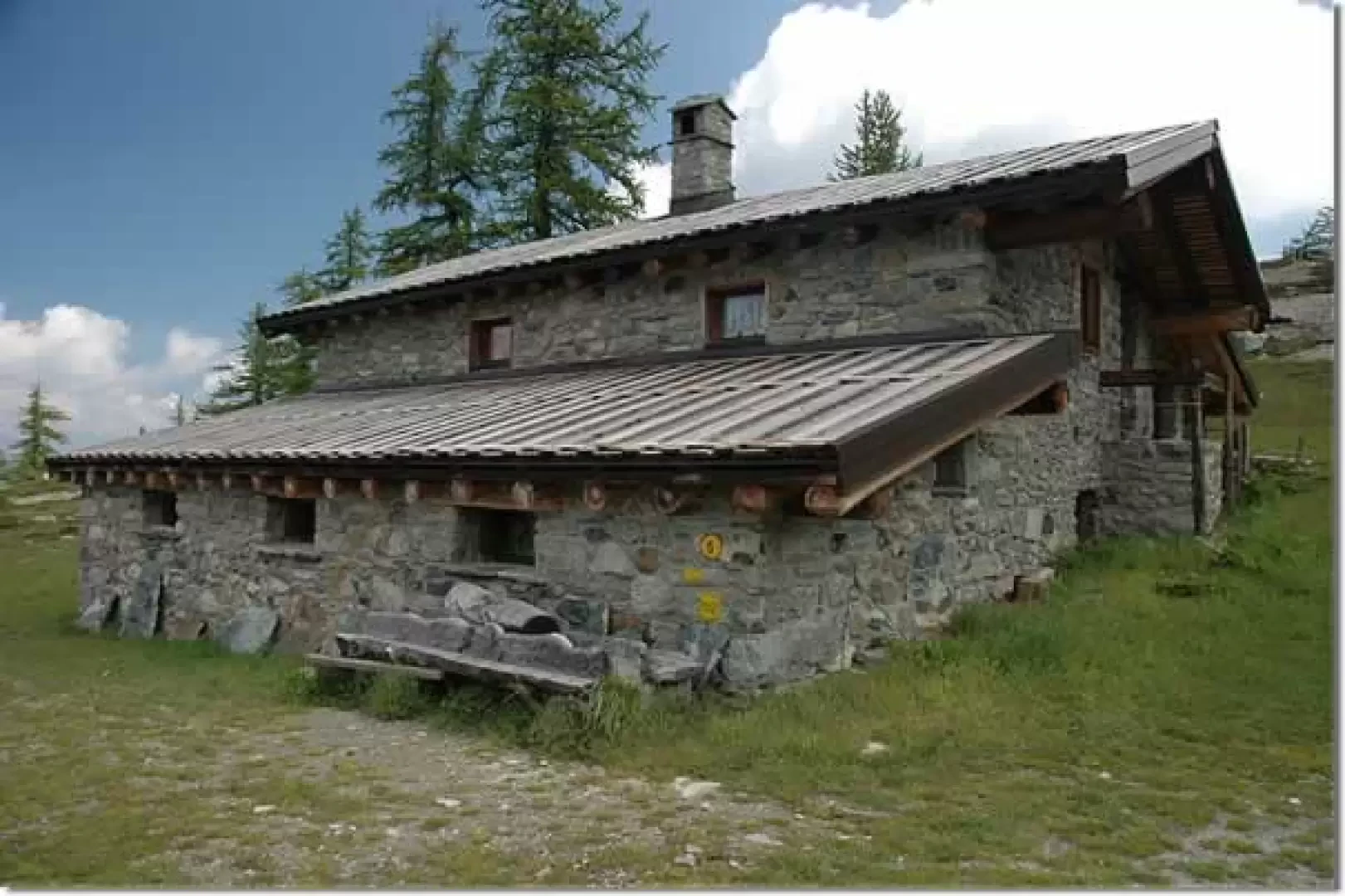
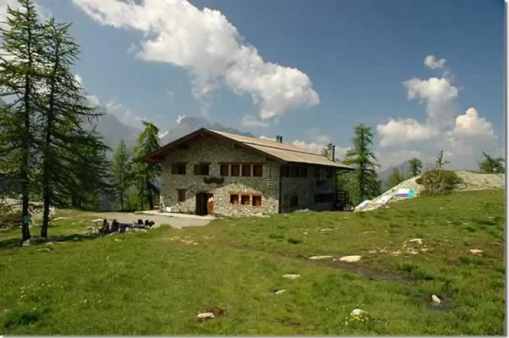
Located in the centre of the Mont Avic Regional Park, the Barbustel Refuge is both an interesting destination and a valuable starting point for discovering the Park. The itinerary proposed here is the shortest, but no less evocative.
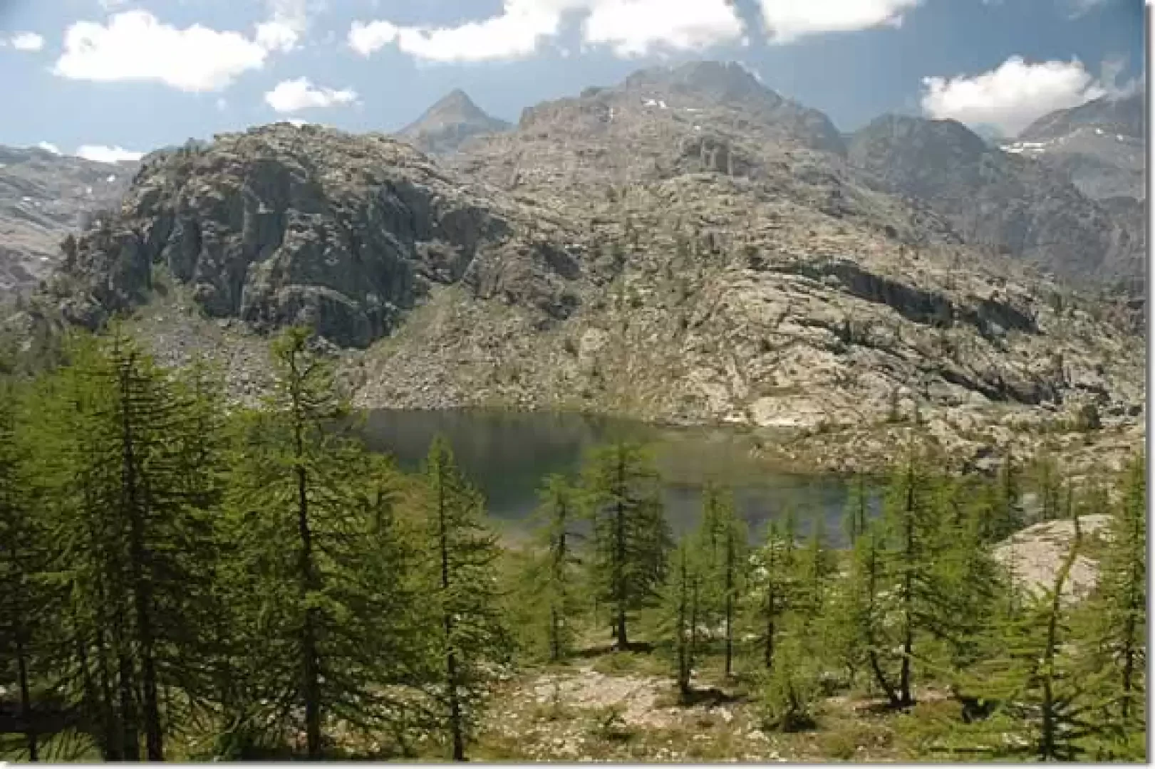
From the hut in just a few minutes you can descend to Lac Blanc below: four additional steps full of satisfaction.
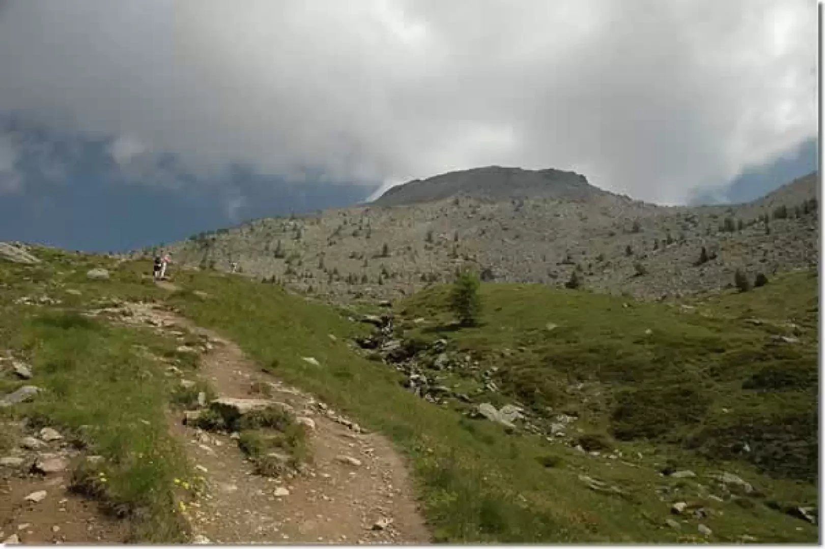
Description
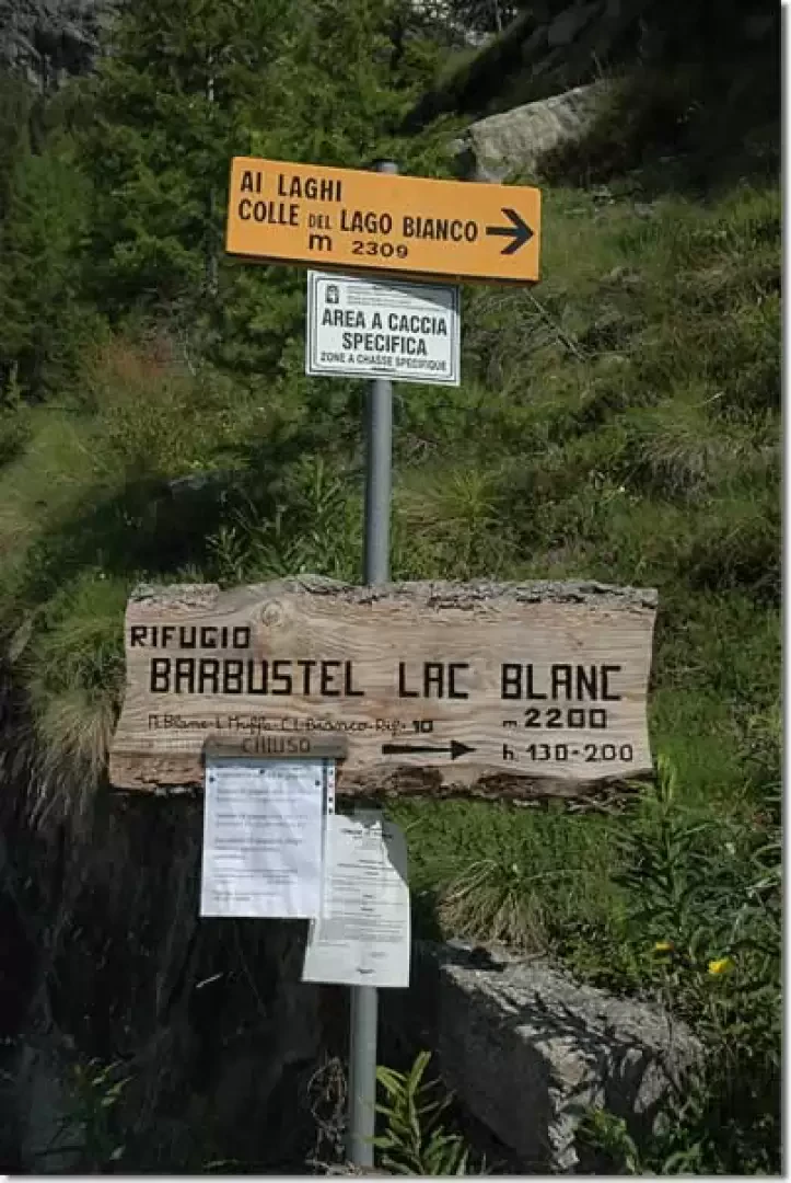
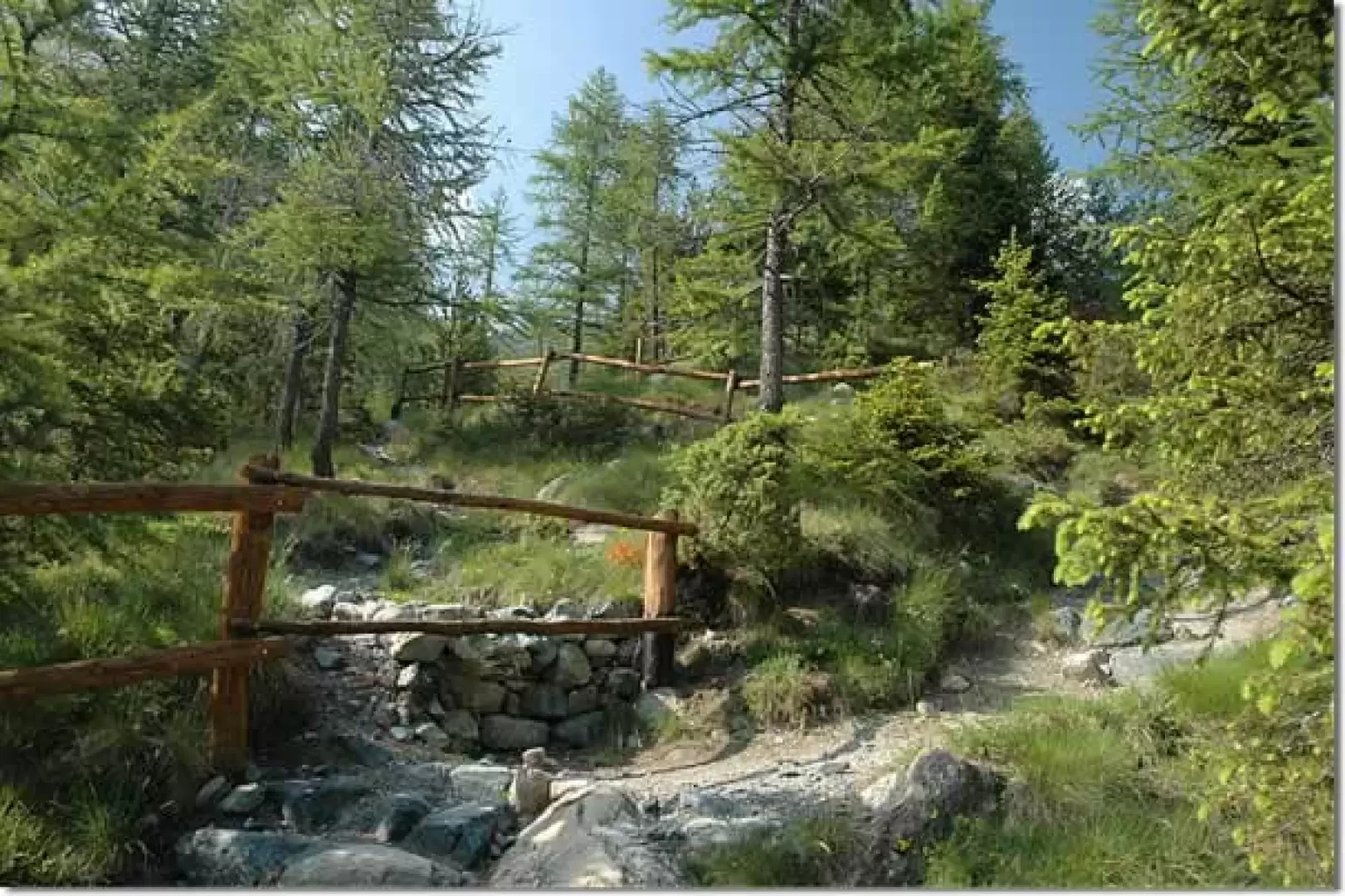
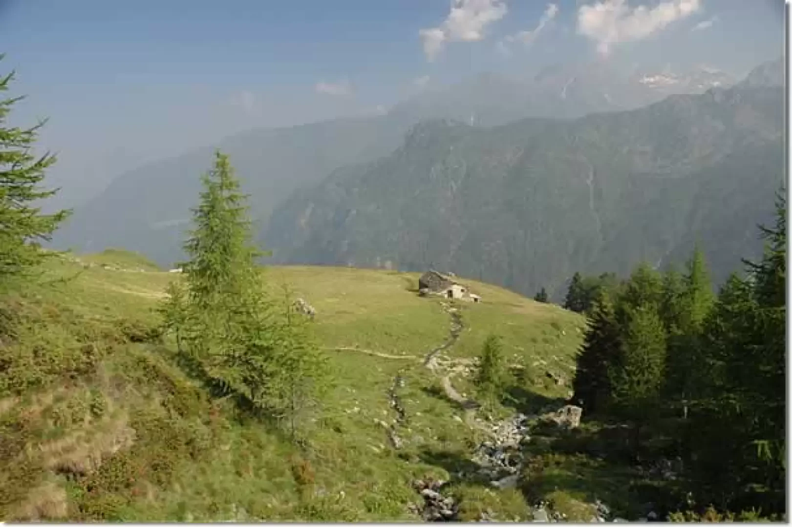
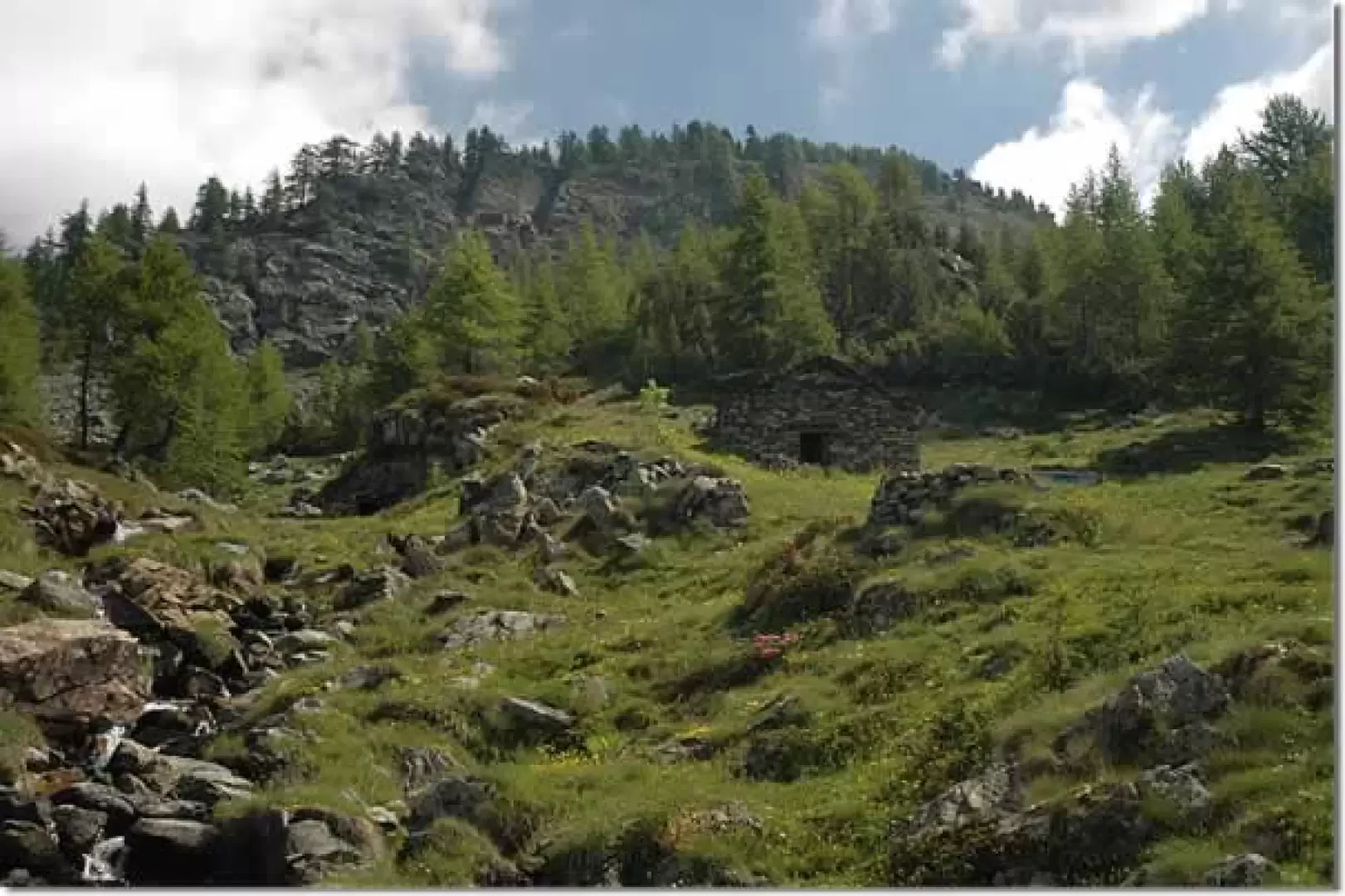
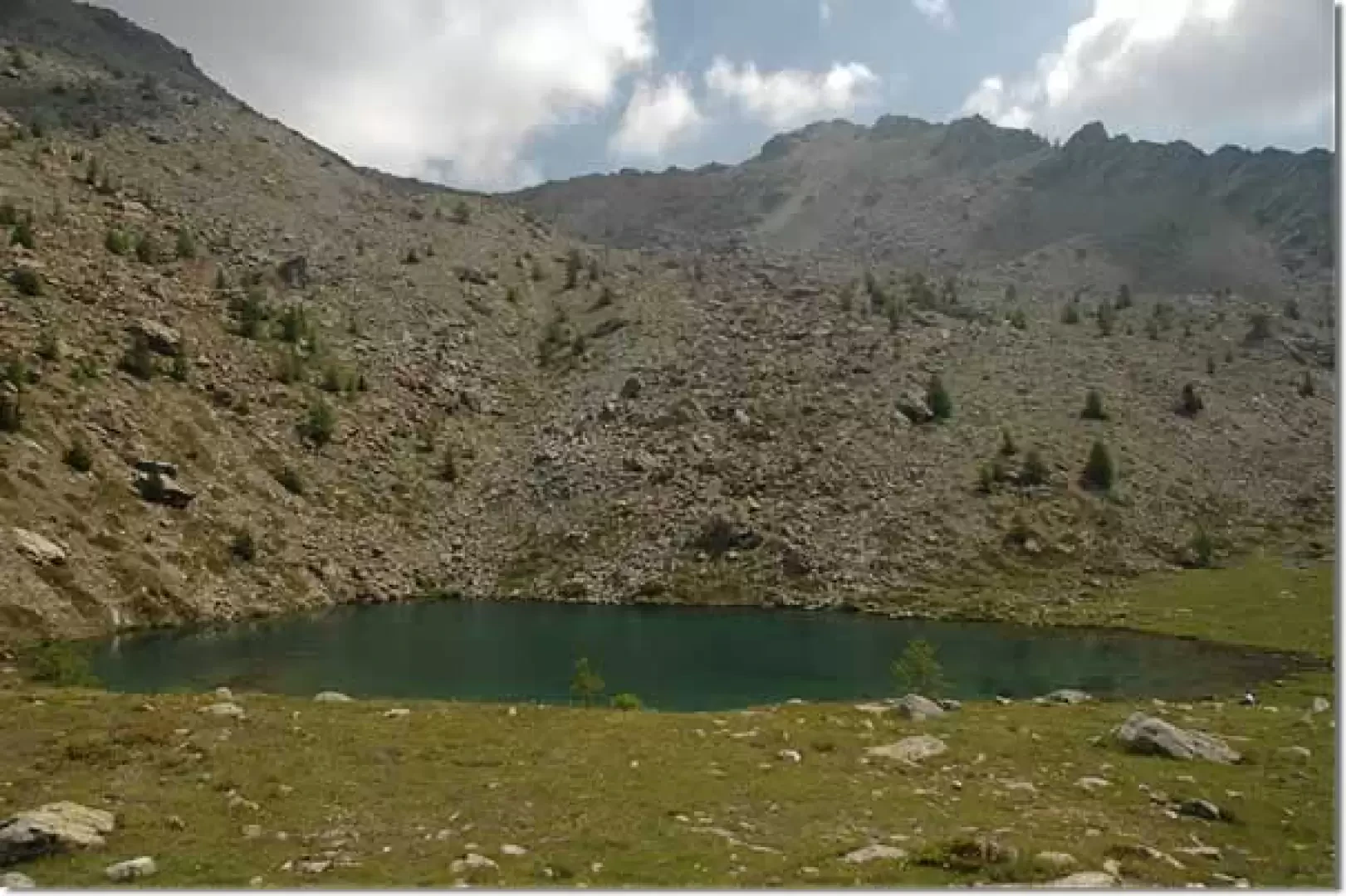
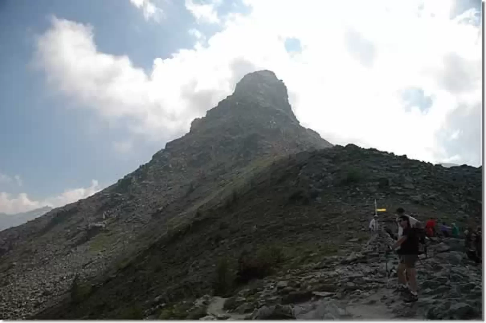
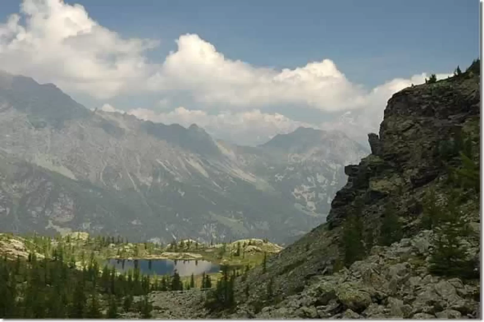
Leaving the car behind, one immediately encounters some signposts indicating that one should ascend a path to the right of the road. You pass a fairly steep first section where the path is bordered by wooden railings. In a few minutes, you gain height and reach the fork for the Arcomy (1805m, 0h05'), marker (11A): you ignore it and continue with a short turn to the left. After leaving the initial larch forest, continue climbing among the pastures, passing near a solitary alpine pasture; cross a small stream and quickly reach the ruins of Grand Cort (1940m, 0h20'). Shortly afterwards, you come to the marker for the Terra Rossa pass (1963m ,0h25'), Marker (10F), and continue left on the slope that slightly decreases in intensity. Passing through some beautiful rhododendron bushes and the last groups of larches, you reach a grassy section that soon leads to Lake Muffé (2214m, 1h00'). Pass a ruin near the lake and begin the ascent of the Col du Lac Blanc in the presence of the Cima Piana. The evident path climbs the slope between sparse larch trees and a few sporadic hooked pines until reaching the junction for the Col Cima Piana: ignore the diversions to the right indicated by the signpost and finally reach the Col du Lac Blanc (2303m, 1h30'). From the pass, the short descent towards the hut begins; along the way you can appreciate some interesting panoramic views of the Grimon, to the right, the Tête des Hommes, to the left, and Lac Vallette and the distant snow-capped peaks from Cervino to Monte Rosa. In a few minutes you will reach a renovated alpine pasture, turn right and reach the Barbustel refuge (2200m, 1h45').
The return trip is along the same route as the outward journey.
Galleria fotografica