Seehorn
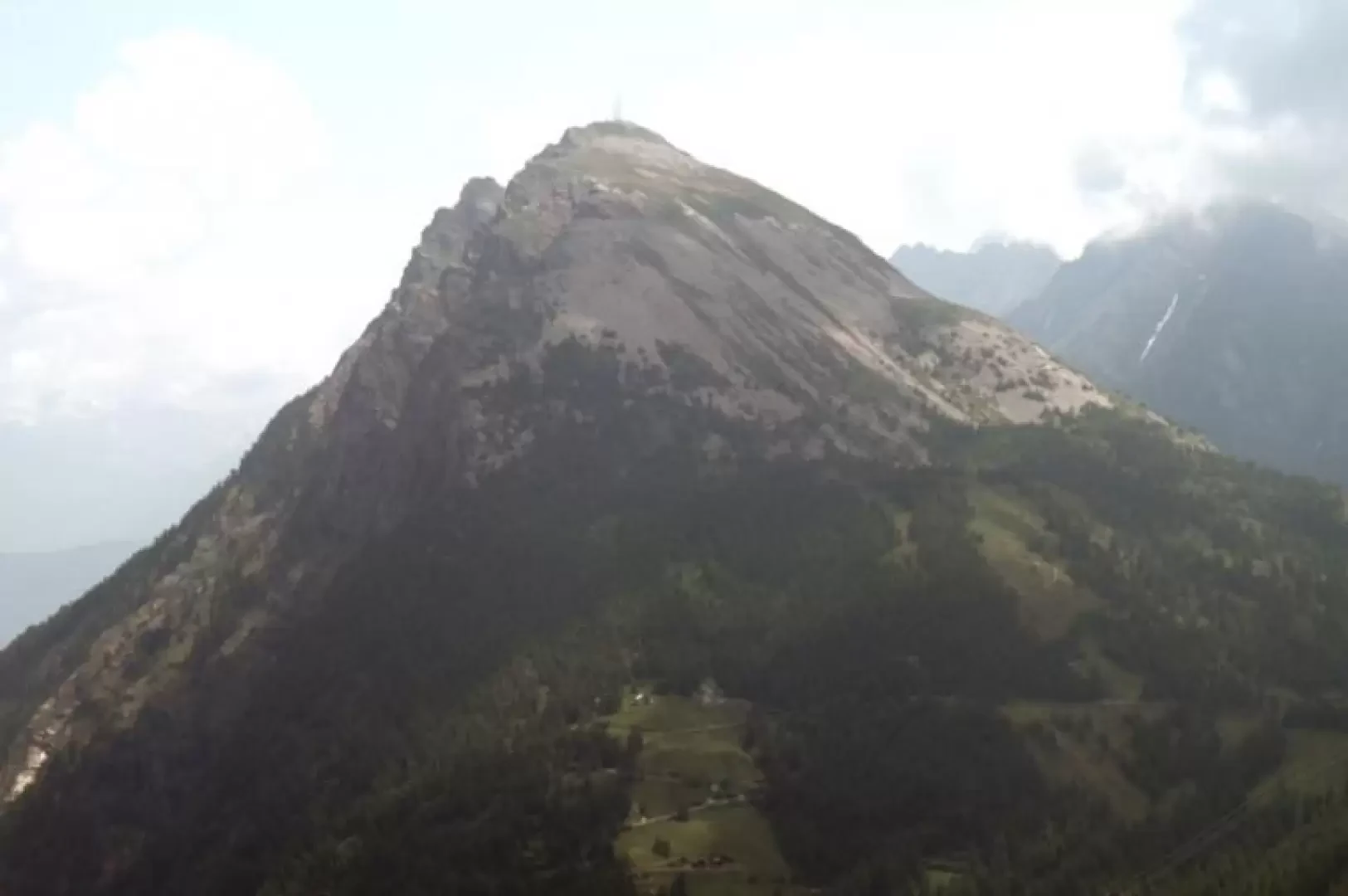
Description
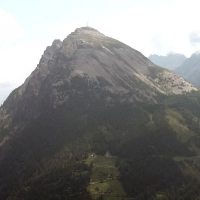
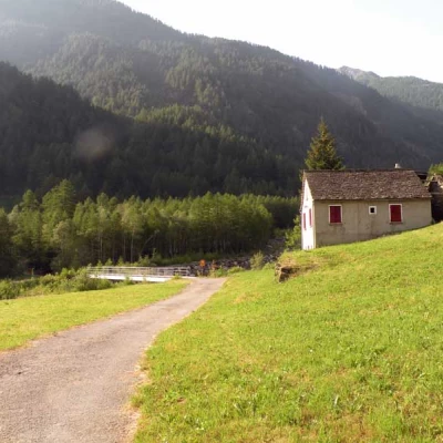
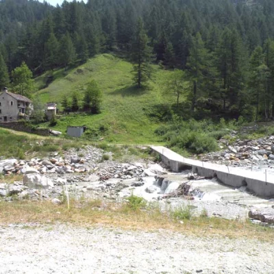
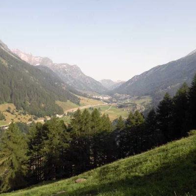
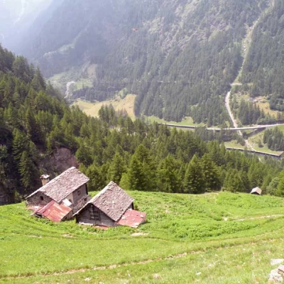
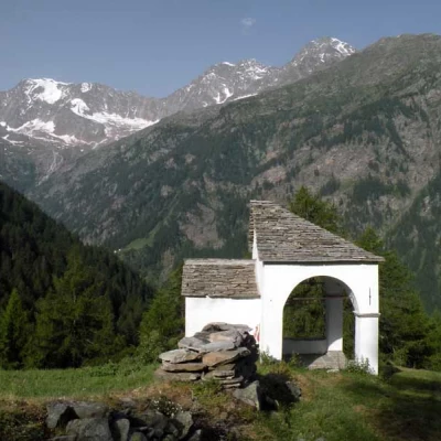
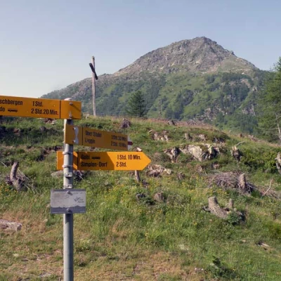
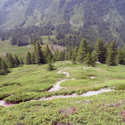
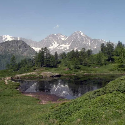
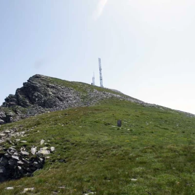
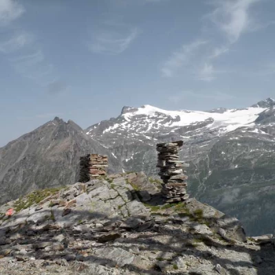
From the widening you continue for a short distance on the tarmac until you come to a first small bridge that crosses the stream on the left and which you ignore; you now continue on the dirt track on a false level near the banks of the watercourse, passing in front of two huts and arriving at another fork signposted by the posts located near a cement bridge. Keeping to the left, cross it and you will soon come to a hut that you bypass on the left to head into the woods; the path climbs up with a good gradient, crossing a few wide pastures where there are beautiful panoramic huts, and by means of a wooden bridge also crosses the narrow gorge carved out by the stream, finally passing to the other side. With a few hairpin bends, you arrive at a little chapel (1573m) from where you can enjoy a beautiful view of the Simplon valley and continue to climb, climbing up a rib that was grassy at first and then becomes wooded further up. Following the hairpin bends of the path, you cross a small stream a couple of times with the aid of small bridges and again arrive in the vicinity of some mountain huts (1674m) from which you can already catch a glimpse of the peak, the destination of the hike, in the distance. In a short time, you reach more open spaces and arrive at the signposts located at the Furggupass (1870m), which connects the Laggintal with the Zwischbergen valley, where an asphalted road also leads up the Zwischbergen valley (check in advance whether it is possible to walk up the road). Cross the road and a little further to the left, a path marked "seehorn" starts on the asphalt road, which rises steeply through the low vegetation, making numerous hairpin bends and arriving in a grassy basin where there is a small lake (2026m). We leave the pond to the left and almost immediately cross a small scree slope, going around it to the right and continuing to move to the right to reach a wide shoulder of the mountain; from this point, the track ascends obliquely, again cutting across the slope below the summit and arriving at a kind of anticima. Now, with the antennas close in front of us, we walk a few more metres diagonally and reach the panoramic summit, which is also topped by a few high stone cairns.
