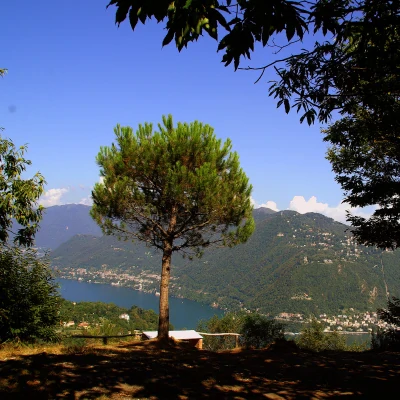
Sasso di Cavallasca, from Drezzo
Access
From Como, one crosses the city border at Chiasso and, near the railway station, passing under the vast staircase-merci, takes the direction towards Pedrinate; from here one re-enters Italy at the Drezzo pass. Parking is easily found in the small village cemetery square.
.Introduction
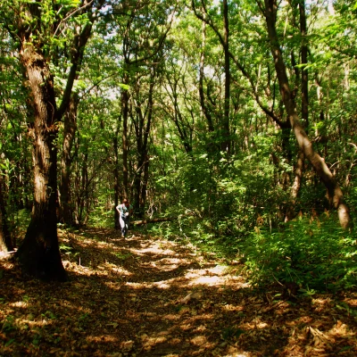
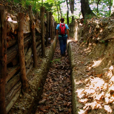
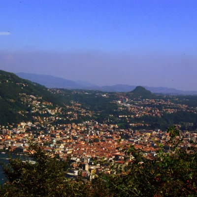
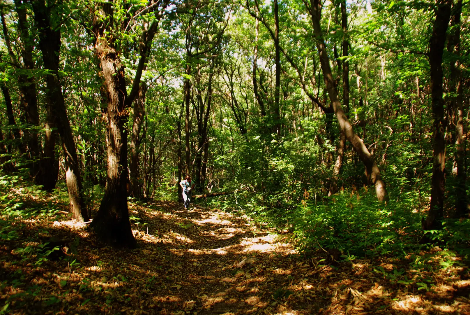
Low-altitude excursion that takes place within the Spina Verde Park in Como: the environmental interest of a route totally within a chestnut and pine forest is combined with the presence of conspicuous remains of the defensive works of the so-called Cadorna Line. The arrival at the summit provides a wide panorama of the Lake Como basin straddling Italy and Switzerland.
Description
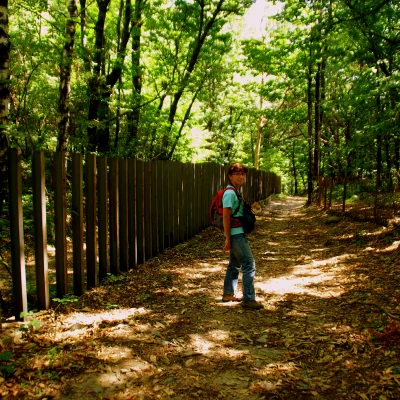
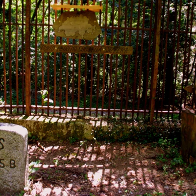
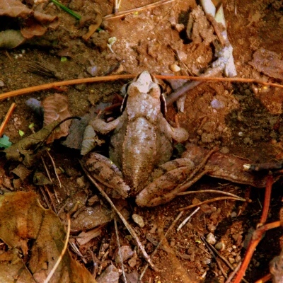
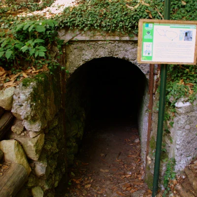
From the cemetery car park, climb up to the centre of the small village of Drezzo and, near the church, you will find the first arrows; an asphalted ascent - in the direction of the Santuario dell'Assunta - leads to a small car park near a sports centre. Looking at the Park's notice board, take the mule track on the right coinciding with a life trail: the climb is steep on loose stony ground and, after numerous forks and changes of direction, you reach Poggio Bruciato 542 m. From here, the route goes up and down near the state border (simple spaced boundary stones, remnants of centuries-old netting, iron girders embedded in the concrete wall) until reaching the southernmost point of the Swiss Confederation: a picnic area on the other side of the border (just climb over!). Continuing on, you reach a wetland area (didactically equipped) used as a breeding ground for the rare Lataste Frog; a little further on, near the source of the Seveso river, you come to a first small area of rather degraded fortifications. The track, past a riding school, climbs to the most interesting area for wartime constructions: a single trench encircles the hill, alternating embrasures with machine-gun emplacements and entrances to underground storerooms; a few hundred metres after a drinking trough dated 1917, a steep, stepped path branches off from the track and leads to the top of Sasso Cavallasca 614 m, in the locality of "Pin Umbrela". Return via the outward route, or: - signposted variants on less frequented paths that shorten the route by half an hour, remaining more faithful to the "Ramina" (in Lombard dialect, this is the wire mesh; here, by extension, it means any structure designed to prevent the border from being crossed) - from the southernmost point of Switzerland, having crossed the border, follow the signs for "Ticino Bike", a dirt bike path that leads to the cantonal road travelled during the approach, between Pedrinate and the Drezzo pass. From here it takes about half an hour to return to the car park. The route - perfectly signposted with Park bollards - is labyrinthine and precise description impossible: following the indications at every junction (with more or less signposted paths or tracks) it is superfluous even to have a map of the area.
.