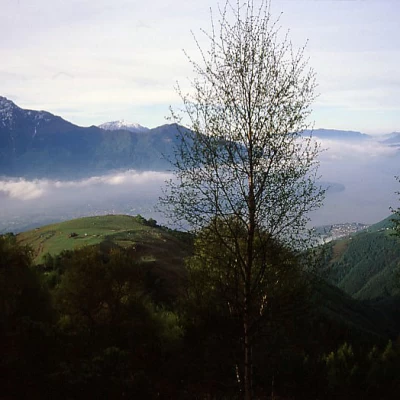
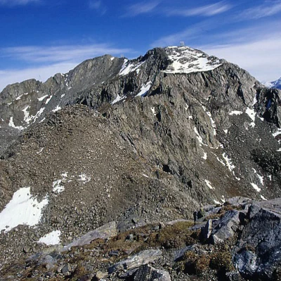
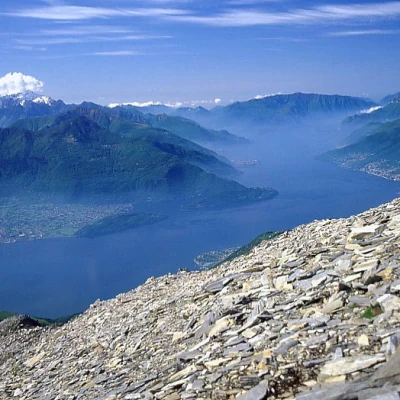
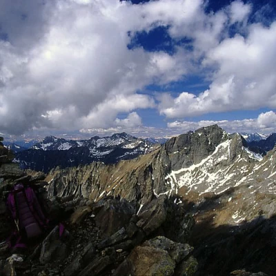
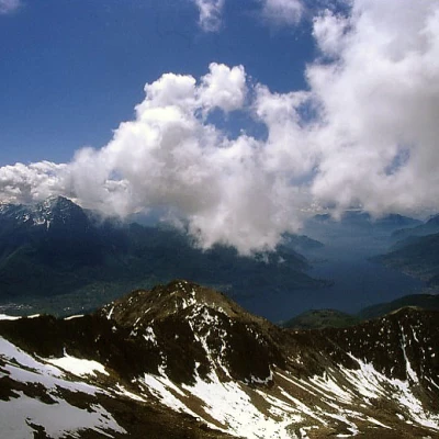
Sasso Canale, from Alpe Zocca
Access
Da Gera Lario, sulla sponda occidentale dell'alto Lago di Como, si segue appena fuori del paese l'indicazione per Montemezzo: lasciata a destra la diramazione per San Bartolomeo, si prosegue lungamente per una stretta stradina asfaltata a tornanti; ad un bivio evidente si prosegue diritti (attenzione: non ci sono indicazioni; a sinistra si va a Montalto), si ignora poco dopo un segnale di divieto di transito (più che altro un deterrente) e si giunge all'Alpe, dove le possibilità di parcheggio sono abbastanza limitate.
Introduction
Classic excursion to one of the most beautiful summits of the Alto Lario, with a wonderful circular panorama. The ascent from Alpe Zocca is quicker and more solitary than that from San Bartolomeo and takes place largely on the steep south-southeast ridge without a path. From the summit of Corvegia, it is necessary to tackle an up and down stretch of jagged rocky ridge to reach the anticima of the Sasso, recognisable by the cumbersome presence of a repeater. From here, the route to Sasso Canale is in common with that from San Bartolomeo, which is part of the Alta Via dei Monti Lariani. With the proposed ring-route, on the descent you can walk right along part of the simpler and more elegant south-east ridge towards San Bartolomeo, returning to Alpe Zocca along a beautiful half-hike path. The late spring period is suitable for the excursion as long as there is no snow in the rocky section after Corvegia; it is also good that there is not too much snow in the first part of the descent down to the repeater, which takes place on the very steep north-east flank of the Casenda valley.
Description
After parking the car, climb directly up the ridge, aiming for a nearby, clearly visible stone building; immediately to the left of this, next to a picnic area, begins a wide but steep and stony path that enters the woods; at the exit of the woods, the path is lost, but there are no difficulties in following the right path on the evident grassy ridge that becomes steeper and more and more detrital, ending at the summit of Corvegia (2282m). Beautiful panorama of the lake. From here, it is necessary to lose about 50 m in height by descending to a crest and then climb up the same height on a panettone to the start of the actual rocky ridge. It is best to stay on the edge (the sides are interspersed with unstable debris) with a fairly aerial route; the last section is the least trivial, with a very aerial passage on a vertical blade. Alternatively, just before a small gap, it is possible to descend to the right (SE) on a grassy-detritic gully, losing about a hundred metres in height difference, and traverse at altitude, still to the right, reaching the SE ridge and thus reconnecting with the route coming from San Bartolomeo. On reaching the summit with the repeater (still called Corvegia but with an altitude of 2325m on the Kompass map), keep slightly to the left of the line and traverse towards the actual summit (another repeater just before). On the way back, just below the repeater of the anticima, along the ridge, at the height of a signpost indicating the Alta Via, descend a detrital gully on the Val Casanda side, following the red and white markers, and then take the SE ridge again, which you follow until the characteristic Terminone signpost, (altitude 1853m) a stone placed at the end of a dry stone wall that marks out the alpine pastures. Follow this little wall, descending to the right to Alpe Gigiai (1630m). Here, take care to take the right path, the lower of the two, beyond the alpine pasture huts; follow it all the way along the steep grassy slopes, returning to the south-southeast ridge followed in the morning just above the woods. From here to Alpe Zocca.
.Riferimenti Bibliografici
- Itinerari sui Monti dell'Alto Lario Occidentale - I. Mozzanica - Electa edizioni, 2002
- Mesolcina-Spluga - Guida dei Monti d'Italia CAI - Gogna-Recalcati - TCI, 1999
- carta Kompass n.92 scala 1:50.000 - -
