Sanctuary of Retempio, from Pontboset

Edited by:
Massimo Martini
Updated at: 01/02/2026
Access
After 150 metres from the motorway junction exit at Pont-Saint-Martin, turn left and take the Strada Statale in the direction of Aosta. At the first roundabout, take the second exit to continue on the . Continue for 2.2 km, passing through Donnas, until the next roundabout. At the roundabout, take the second exit to stay on the . Continue for about 3 km until you reach another roundabout near the Bard Fortress. Here, take the third exit and take the Strada Regionale in the direction of Valle di Champorcher. Continue for 6.2 km on , passing through Hône, until you reach Pontboset. In Pontboset, turn left onto the little municipal road and continue until you reach the 🅿️ car park in front of the town hall.
[0h18'] - [13,1km]
How to get there with GMaps
How to get there with Apple Maps
The directions provided have been carefully checked as of the date the route was taken. However, it is highly recommended to check for any changes that may have occurred since then, especially regarding the route to the starting point. Before embarking on your journey, it is advisable to consult up-to-date navigation tools for accurate and up-to-date directions. We recommend the use of satellite navigation apps, such as Google Maps or Apple Maps, to ensure the most accurate and safe route.
Introduction
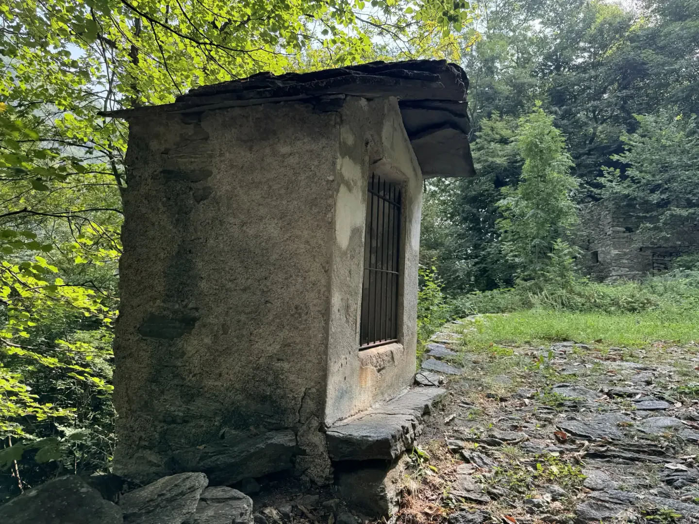
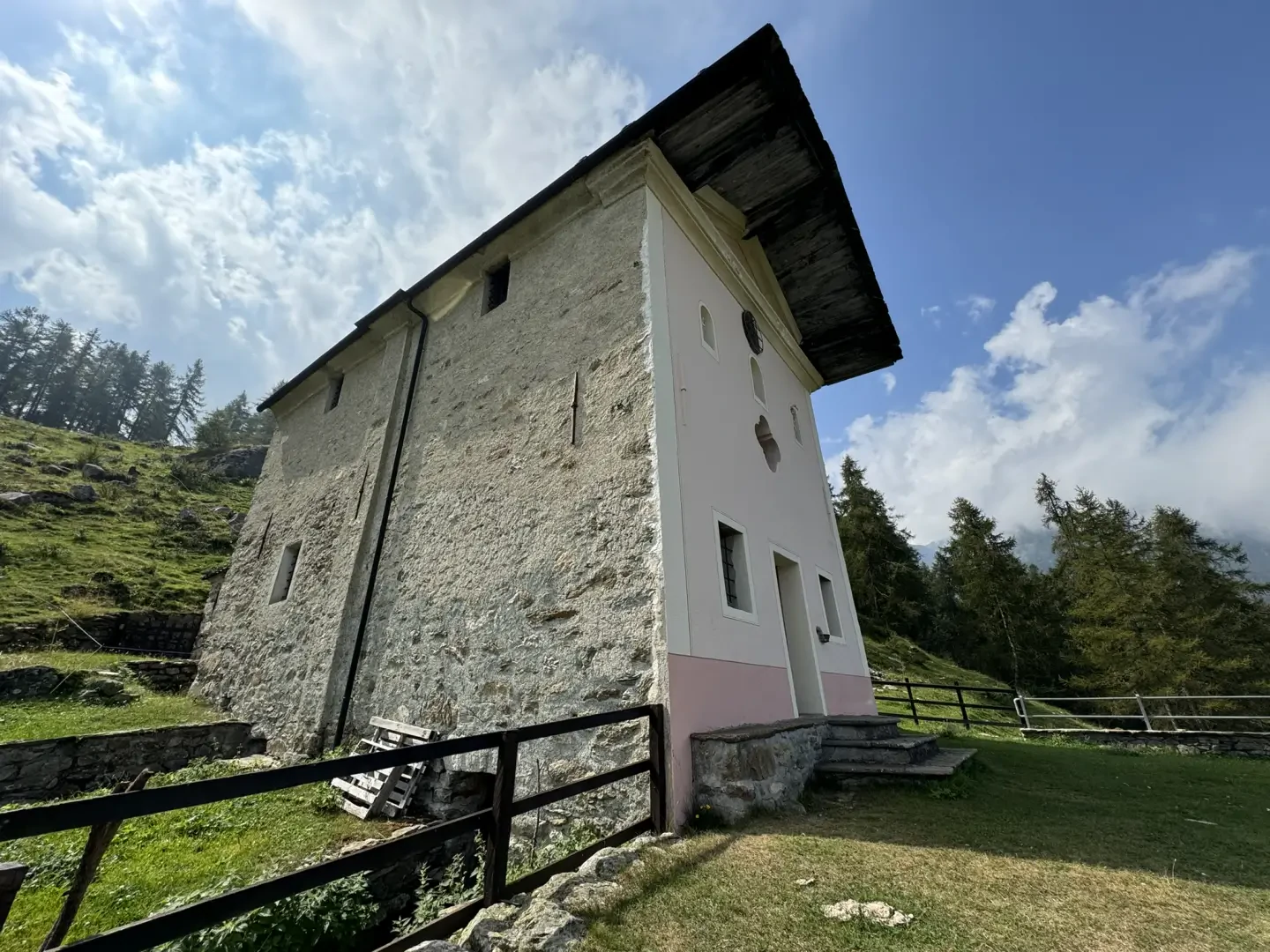
The excursion to the Sanctuary of Retempio is a journey into the heart of Aosta Valley tradition and devotion, immersed in a natural setting of great beauty. Situated on a terrace on the orographic right of the Comba di Brenve, the sanctuary is a pretty chapel built in 1835, dedicated to Our Lady of the Visitation and Saint-Roch (Saint Roch). Every year, on 2 July, the faithful gather in Pontboset to take part in the pilgrimage that leads them along the historic mule track, once the main connection between the various villages in the area. Along the route, which winds its way through chestnut forests and scenic clearings, are scattered numerous votive shrines, which serve as devotional stops along the ascent.
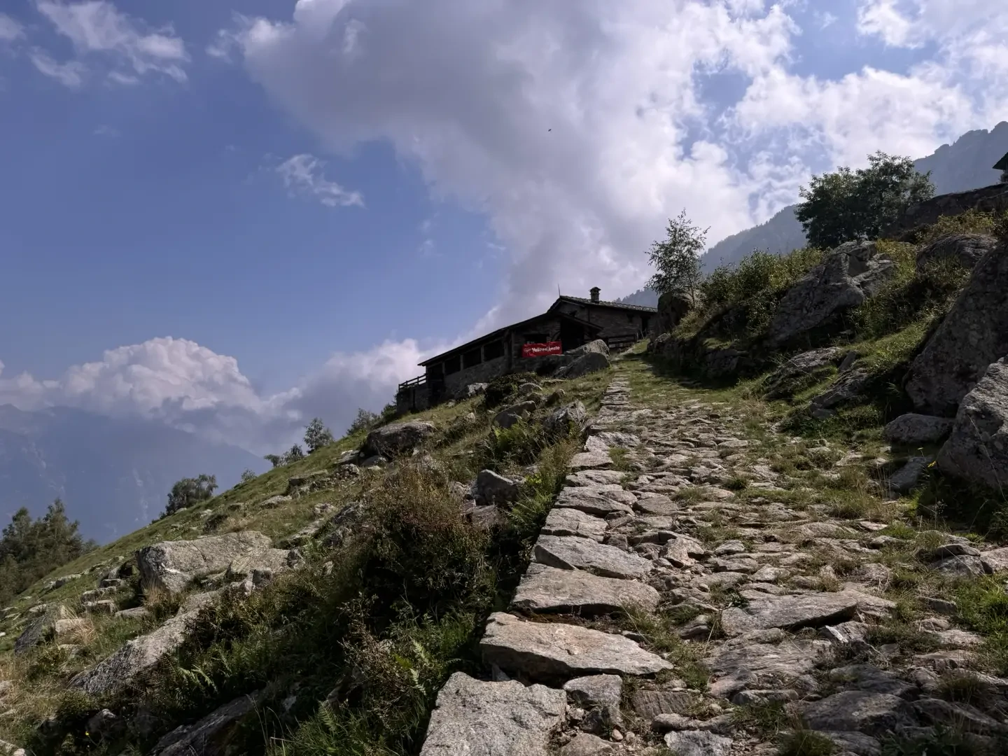
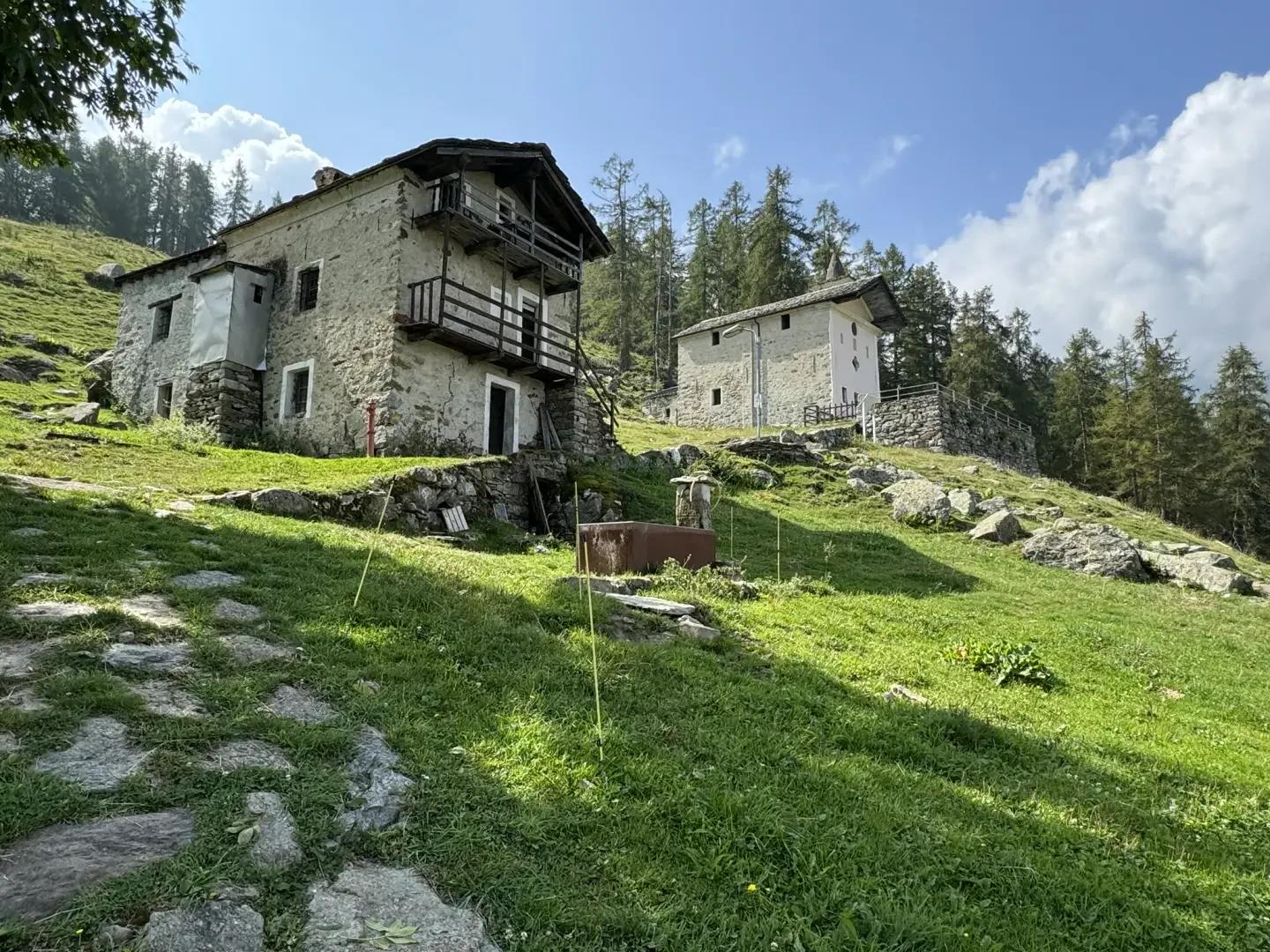
A fascinating aspect of this hike is the presence, just before reaching the sanctuary, of an alpine pasture recently converted into a dortoir. This new type of accommodation offers the opportunity to experience the mountains in an authentic way, in close contact with the life of the herdsman, and represents a unique experience for those who wish to immerse themselves in the local culture.
The name "Retempio" may derive from the nearby Tempioz mountain pasture, located in the heart of the Comba, testifying to the link between the sanctuary and the surrounding area. The itinerary does not present significant technical difficulties, making it accessible even to less experienced hikers. During the walk, it is possible to admire the so-called "holy staircase", a particularly steep and evocative section of the route, and to enjoy an unusual panorama of the Monte Rosa massif, which stands out on the horizon, creating a spectacular contrast with the green pastures of the valley.
This excursion, as well as representing a moment of reflection and spirituality, offers the opportunity to explore one of the most authentic corners of the Valle d'Aosta, where uncontaminated nature and tradition blend into a landscape of rare beauty.
Description
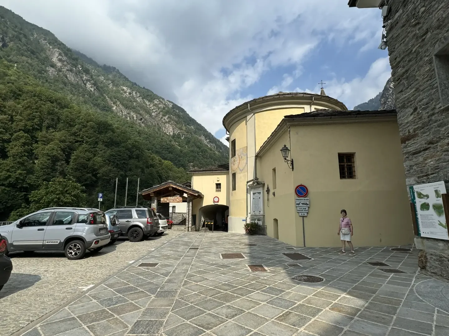
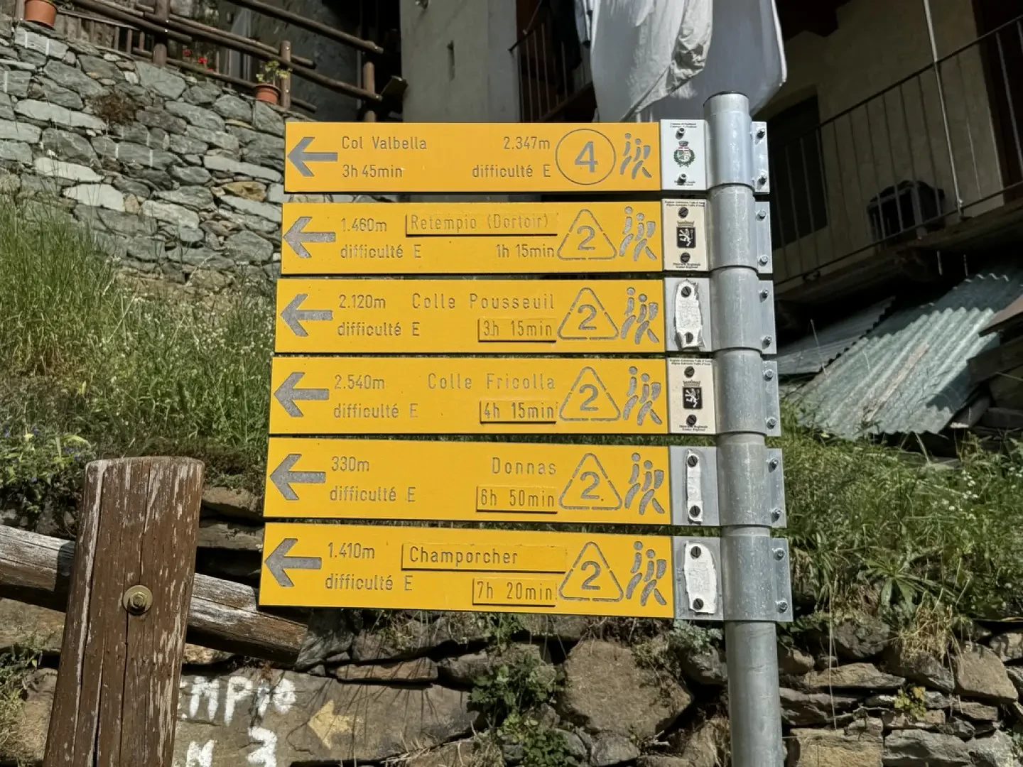
0h00' 0.00km From the car park, take a lane passing near the "Lou Créton di Lùi" hostel and under an archway of the parish church, before reaching the pretty central square of Pontboset. Continue straight on until you come to a blue signposting panel of the "Sentiero dei Ponti e degli Orridi" (bridges and ravines path). Turn left and follow the signs for the "Sentiero dei Ponti e degli Orridi" downhill until you reach a signpost indicating the Balteo Path.
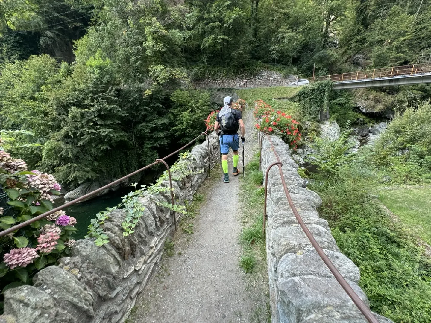
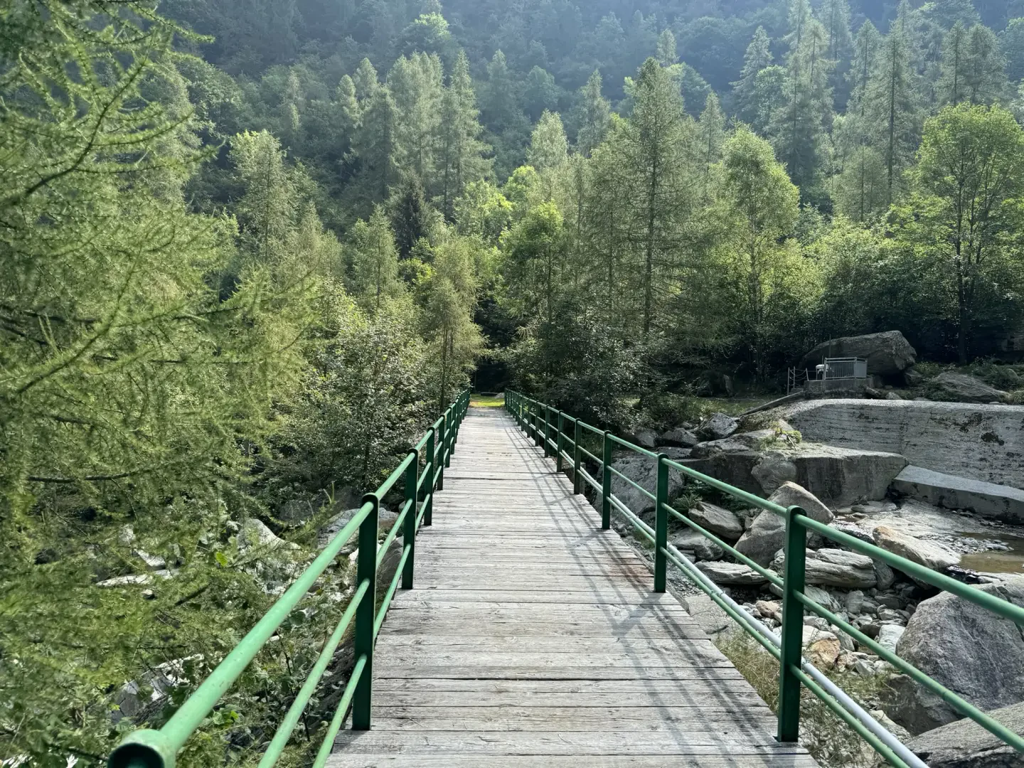
0h05' 0.23km Continue straight on towards the characteristic double-arched bridge over the Ayasse stream. When you reach the orographic right of the valley, turn right and follow the road for about 300 metres, until you come to some tourist panels and the start of the mule track.
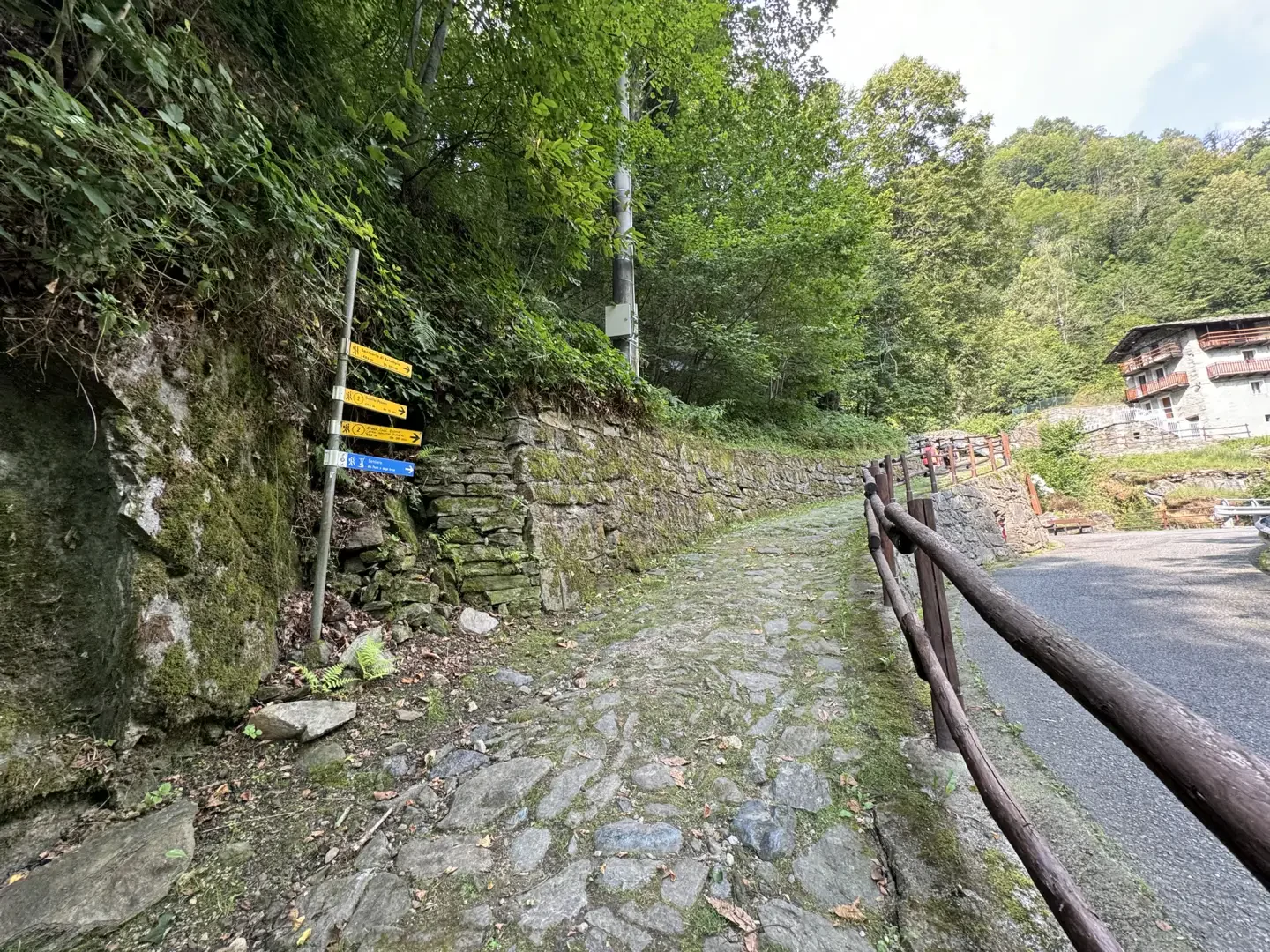
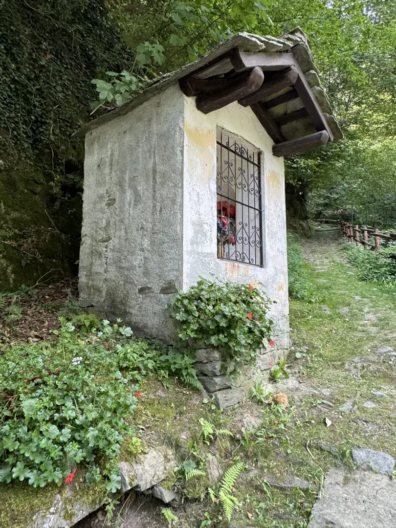
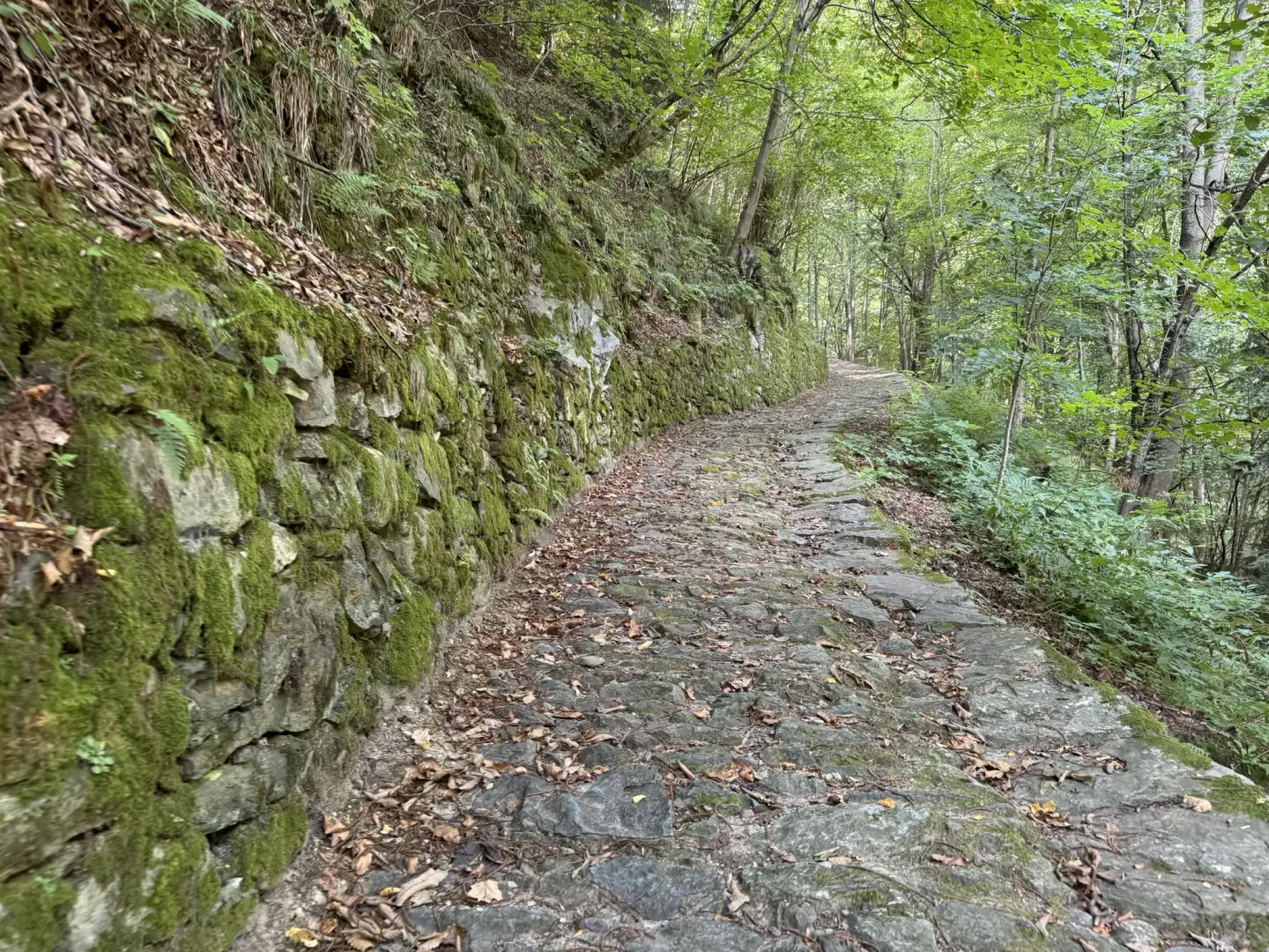
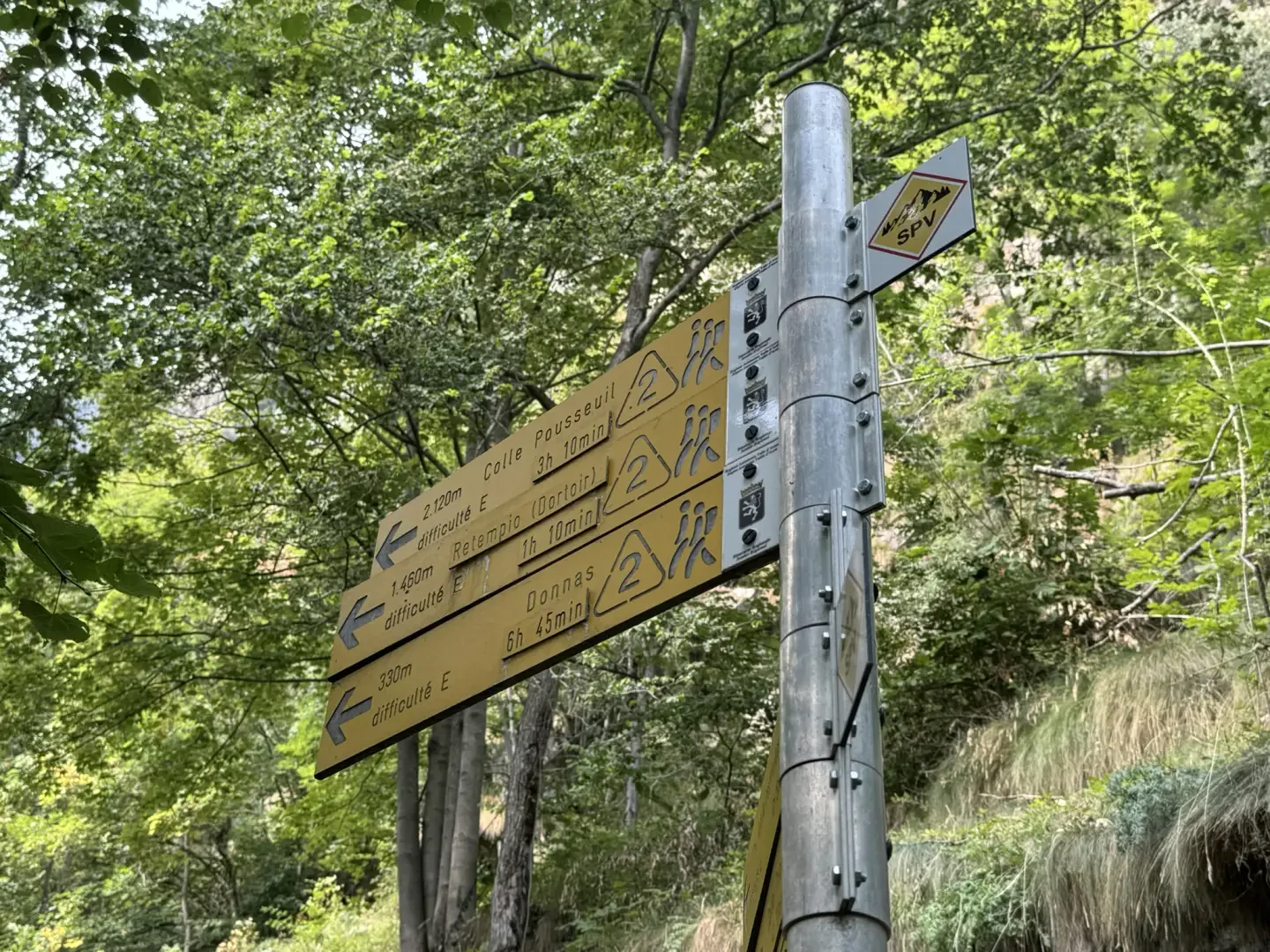
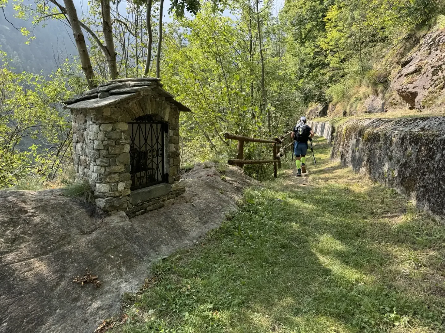
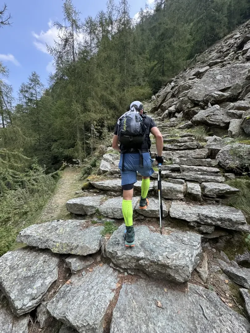
0h10' 0.59km SS Turn right and take the beautiful paved mule track that runs alongside a first votive shrine and, shortly afterwards, the bridge over the Mandaz stream. With a constant gradient and wide bends, the mule track climbs the slope through chestnut woodland (Castanea sativa) and cool undergrowth of aquiline fern (Pteridium aquilinum). Reaching a new votive shrine and a hamlet with a wooden cross on the wall, proceed for a few more moments before reaching a brown marker with signs for Crest.
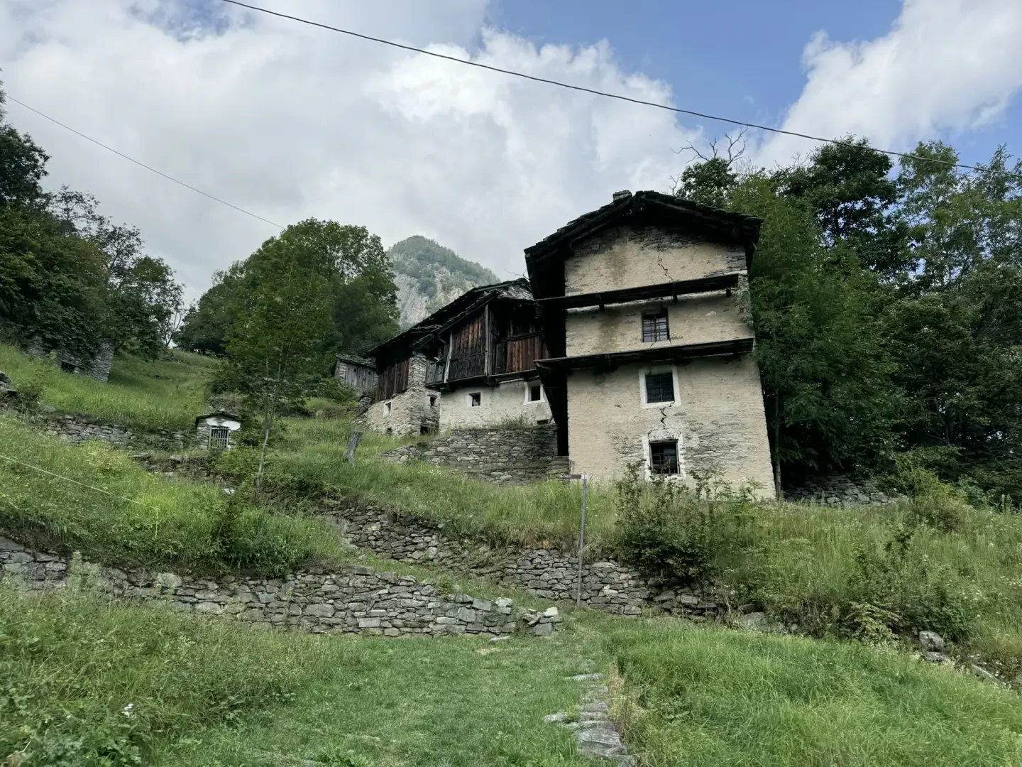
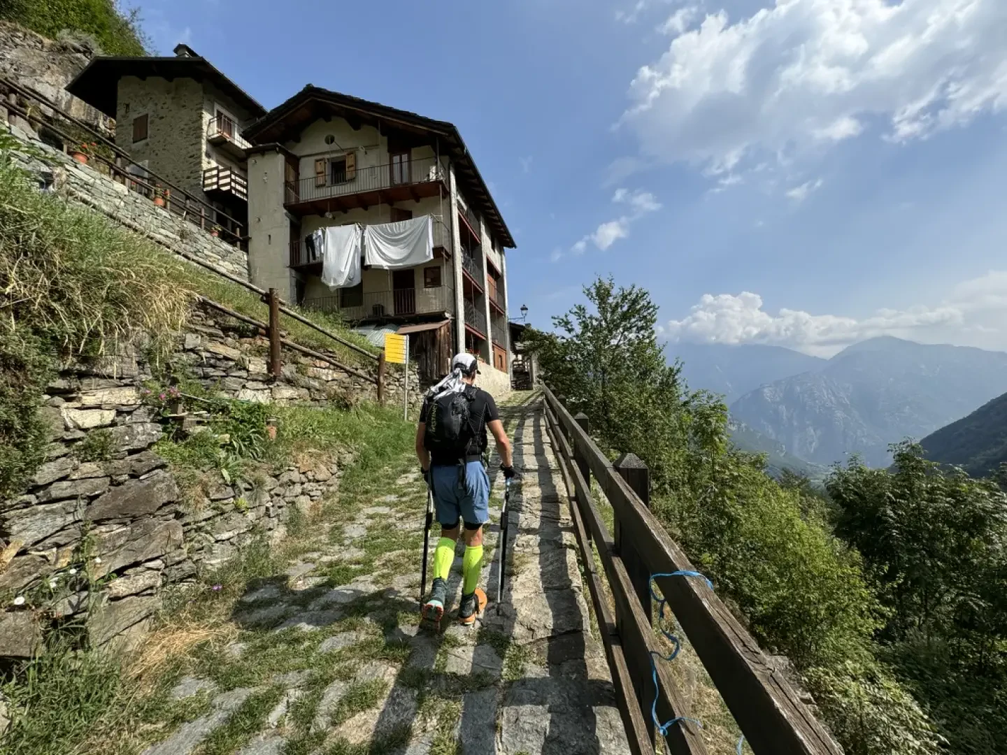
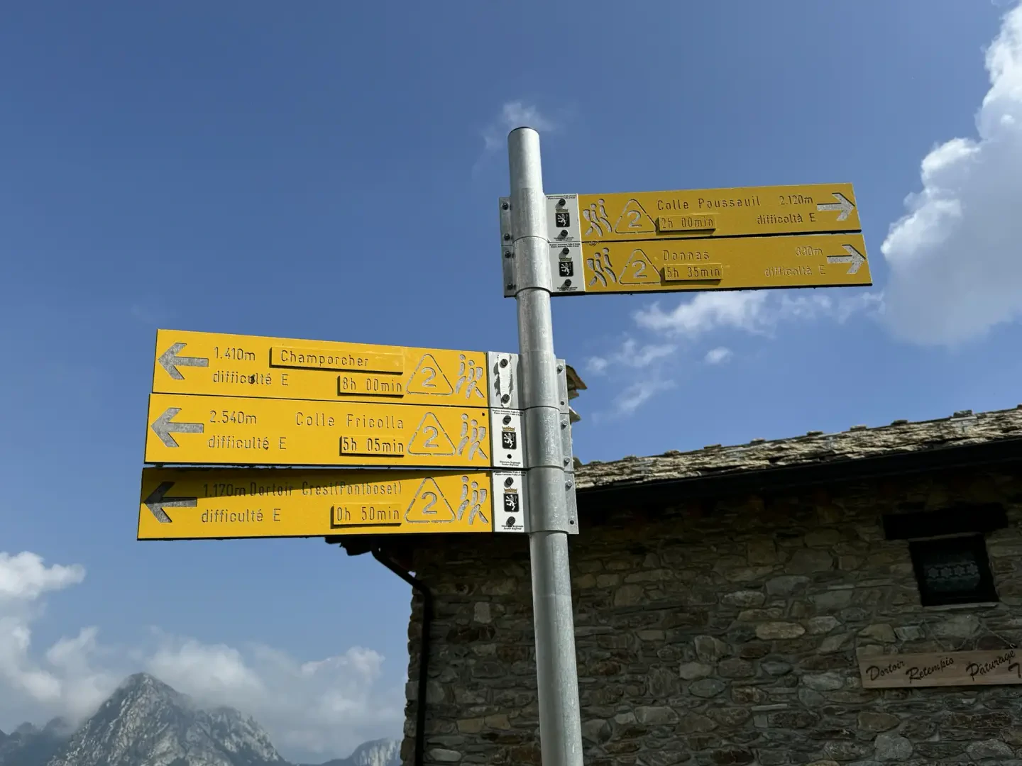
0h35' 1.21km Turn right and, after passing a few steps, you will reach the characteristic hamlets of Creux (922m). Behind the houses, turn left and climb diagonally up the slope until you join the little communal road to Crest, which must be followed for about a hundred metres before rejoining the path on the right. Go back into the forest and, after passing another votive shrine, meet the tarmac road again. Keep to the right and climb up the last stretch of mule track. Go past the last votive shrine and, after leaving the forest, reach the small access road to the village. Turn right and, in a few metres, you will come to the signposts indicating the paths in the area, and finally reach the characteristic village of Crest dessous 💧 (1096m).
1h00' 1.93km Turn back a few metres and at the marker take the beautiful mule track lined with splendid stone walls; after passing a characteristic votive shrine, the path proceeds slightly uphill following a wooden railing until it meets a new marker (1078m).
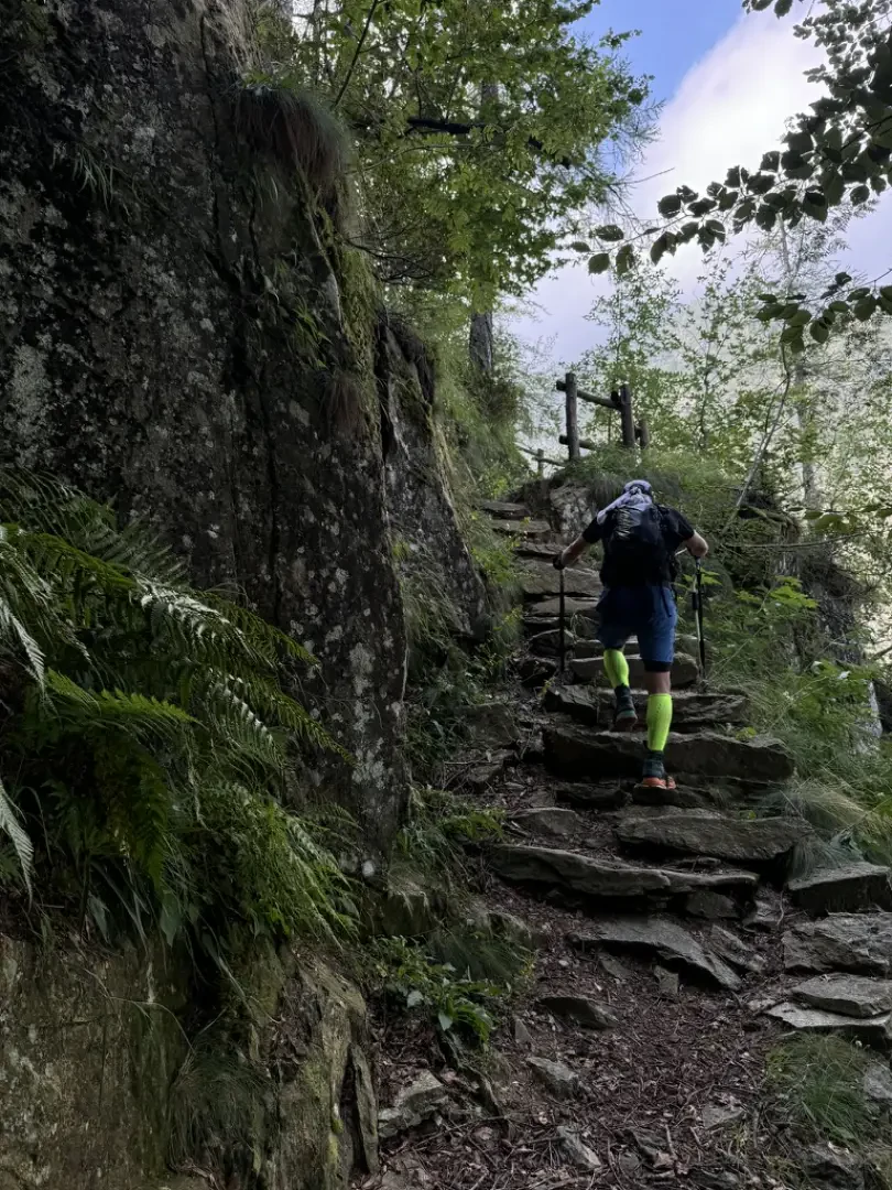
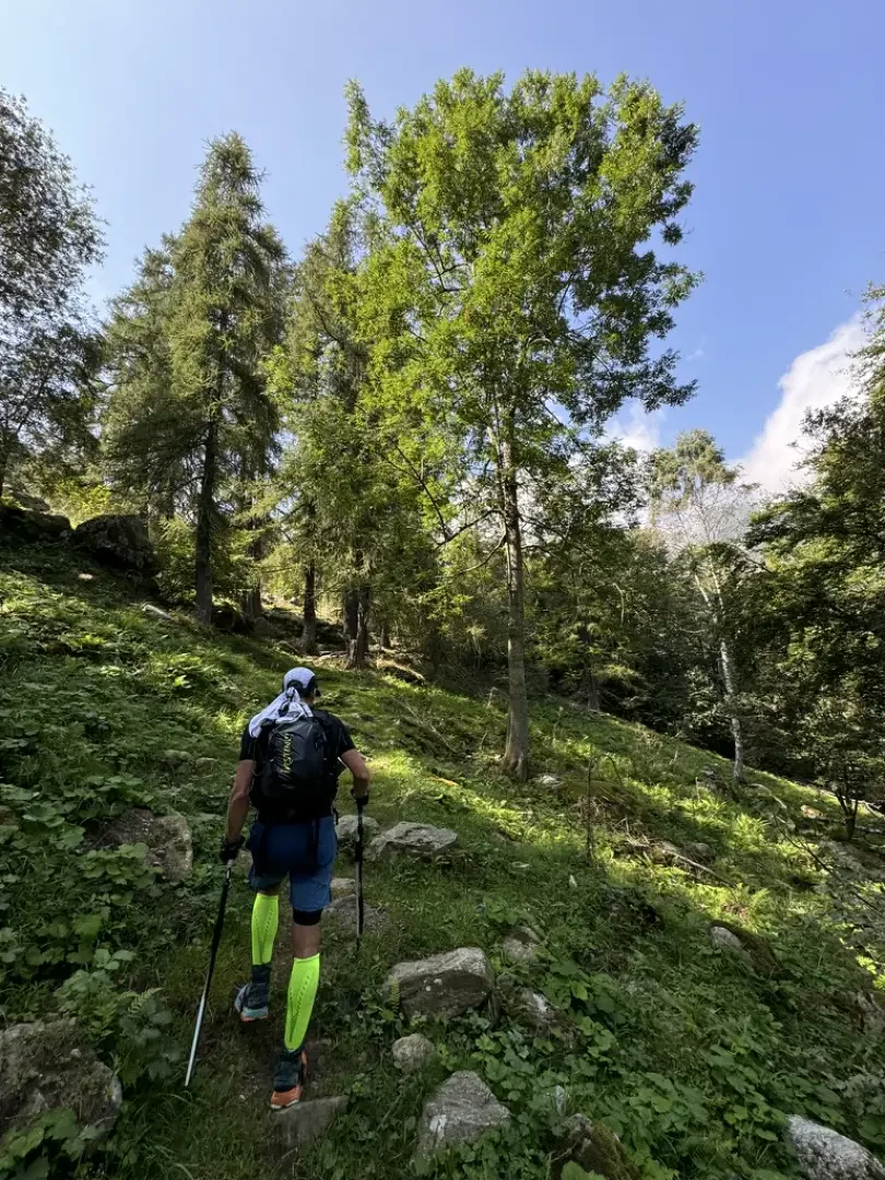
1h10' 2.22km Follow the signs for the sanctuary, signposted at one hour and ten minutes, turning left onto the Alta Via della Valle d'Aosta . Proceed slightly downhill, encountering a new votive shrine before reaching a small wooden bridge with iron railings that makes it easy to cross the Torrent de Brenve (1150m). After crossing the bridge, you come to a beautiful flight of steps with stone treads, known by the locals as the 'holy staircase', which allows you to ascend the orographic right-hand side of the comba, quickly gaining altitude. One enters the larch forest, which gives a few glimpses of the village of Crest dessous below, while the path after a few turns skirts the ruins of an old hamlet nestling among the ferns (Pteridium aquilinum). We emerge from the forest and the panorama of the Monte Rosa massif opens up. The destination is now near and the sanctuary appears before the hiker. The last steep ramp is climbed to reach the alpine pasture and the Dortoir and, shortly afterwards, the Retempio Sanctuary (1484m) 2h15' 4.47km .
The return is along the same path as on the outward journey 1h25' 4.47km .
Points of Interest
- Pontboset
- Parish church of San Grato
- Historic bridges of Pontboset
- Creux
- Crest dessous
- Dortoir Retempio
- Sanctuary of Retempio
Collections
- hikes departing from Pontboset - on the map
- hiking in the Champorcher Valley - on the map
- hiking to sanctuaries in the Aosta Valley - on the map
Galleria fotografica