San Grato and Pessine, from Falletti
Access
From Biella take the Valle Cervo road in the direction of Andorno - Piedicavallo. After leaving the square of Sagliano Micca and the bell tower on the left, continue for a few hundred metres and take the diversions to Case Falletti on the right; go up the little road that leads to the small hamlet; just before the end of the road, after a bend to the left with a bench, on the left, at the next hairpin bend, our itinerary begins; if you don't find the entrance going uphill, go quietly to the end, turn the car around and go back slowly: you will find the road on your right at the first hairpin bend to the left: immediately after the hairpin bend, on the right, along the road, you can park.
Introduction
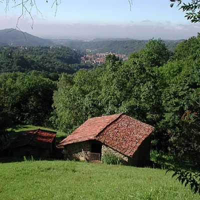
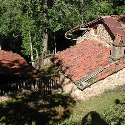
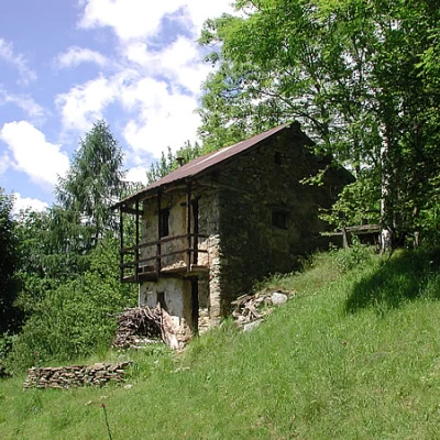
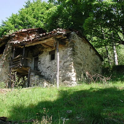
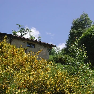
This hike leads to what was once a beautiful area of alpine pastures; in the last 50 years the forest above has taken over, swallowing up the pastures bit by bit; the farmsteads remain, bearing witness to a past of toil and sacrifice. Some have fortunately been renovated, others still house the shepherds and herds, some unfortunately collapsed after the roof collapsed.
Description
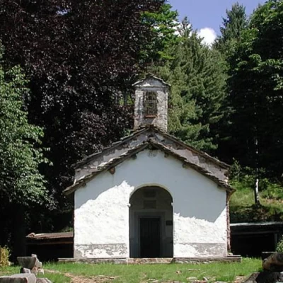
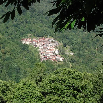
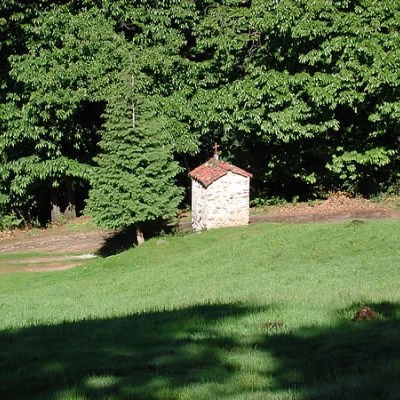
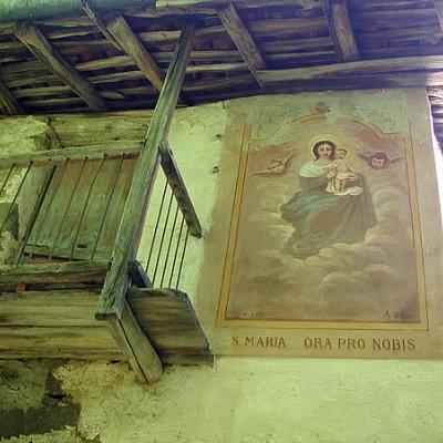
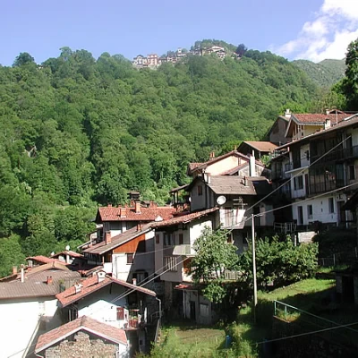
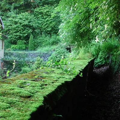
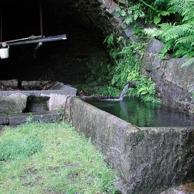
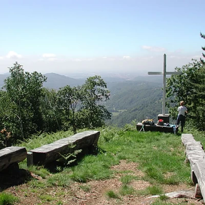
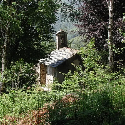
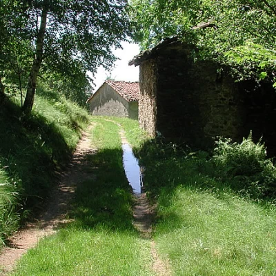
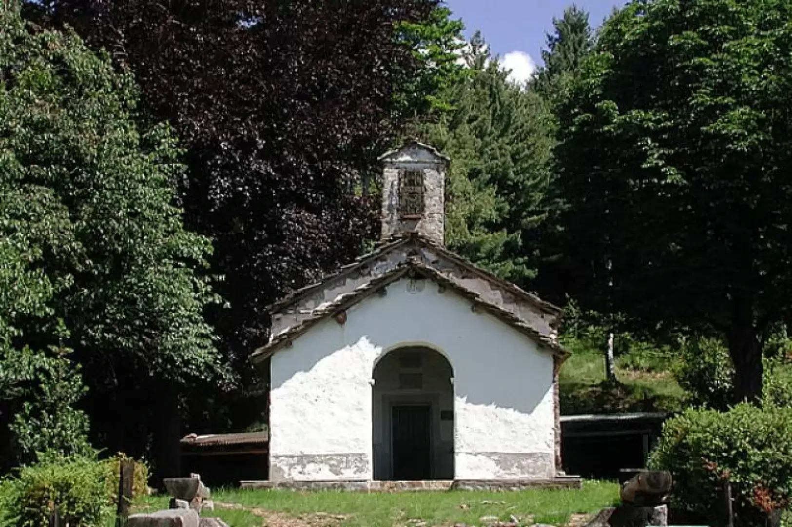
At the beginning of the road, a table with times and a map (780m) illustrates one of the stages of the GtB (Grande Traversata Biellese), the route of which is partly common to our itinerary. We ascend gently along the road, with a cement surface, while below us parade old farmsteads, some renovated and inhabited, while beyond the clearings the view opens up over the villages below and on the other side of the valley, Oneglie, the Cucco, Riabella, the Sanctuary of San Giovanni d'Andorno, and high above the Colle della Vecchia, recognisable because it is V-shaped. We walk almost always under the trees, and at a certain point we leave the road, which veers to the right, and follow the yellow sign of stage 54 of the GTB, also marked Sentiero E85, which continues on the dirt road straight ahead. When you reach a group of stone huts, continue on the path that climbs to the right behind the huts, descend to the meadow and enter the forest, crossing a stream. Continue past the Naulito farmsteads (869m), recognisable by a fresco depicting a Madonna. The path widens out and becomes a dirt track, which descends steeply until it comes close to the houses of Rialmosso (800m) 💧, skirting a wall, passing in front of a beautiful wash house, then into the village; continue for a little while between the houses and turn right onto a flight of steps marked with a faded red, almost pink arrow, which rises in steps until it becomes a beautiful mule track which, at a certain point, near a small chapel on which, at the bottom, the route and cardinal points are indicated, makes a nice U-turn and changes direction, still under trees, mostly beech trees. We follow the signpost San Grato Pessine. We ascend into the forest and continue to cross towards the south-east, passing old huts, until the horizon becomes brighter in front of us and a last sign at a turnoff whose paths both lead to San Grato 💧, confirms that we are on the right path; in fact the little church is just a few metres away, in a panoramic position. As soon as we arrive, there is a nice spring of fresh water. Around the little church there are numerous wooden benches, and towards the west a cross from which the panorama is very extensive (1003m, 1h30').
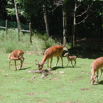
After a break, return upstream from the chapel and take the path marked GtB, which climbs with long traverses up to some ruined huts, where we find the sign Pessine Panoramica Zegna. We ascend into the forest above, for about a hundred metres in height difference (1125m); I have not been able to locate the path, there are fallen trees, but the route is easy, and must be followed by climbing eastwards, until the trees thin out and a recently renovated farmstead appears. From here on, there are no more problems, we pass under the farmstead, still heading east, we cross on the level towards the next one, then again slightly downhill, until we find, climbing up a little, a small wall above which there is a beautiful mule track that will lead us to the inter-pasture track that we had climbed in the morning, and which serves the pastures of Pessine; We will take it downhill, taking care to follow the wider road, and ignoring all the detours for the various farmsteads, recognisable because they are protected by chains or narrower and more uncultivated than the main route. In about 20 minutes, passing a fence with a family of fallow deer, you are back at the car (3h00' from the start).
Riferimenti Bibliografici
- Il Biellese Nord Occidentale, Carta dei sentieri 1:25000, foglio 2 - - Provincia di Biella, 2004
