San Fedelino

Edited by:
Marco Bonati
Updated at: 22/09/2024
Introduction
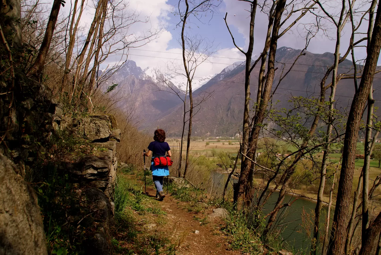
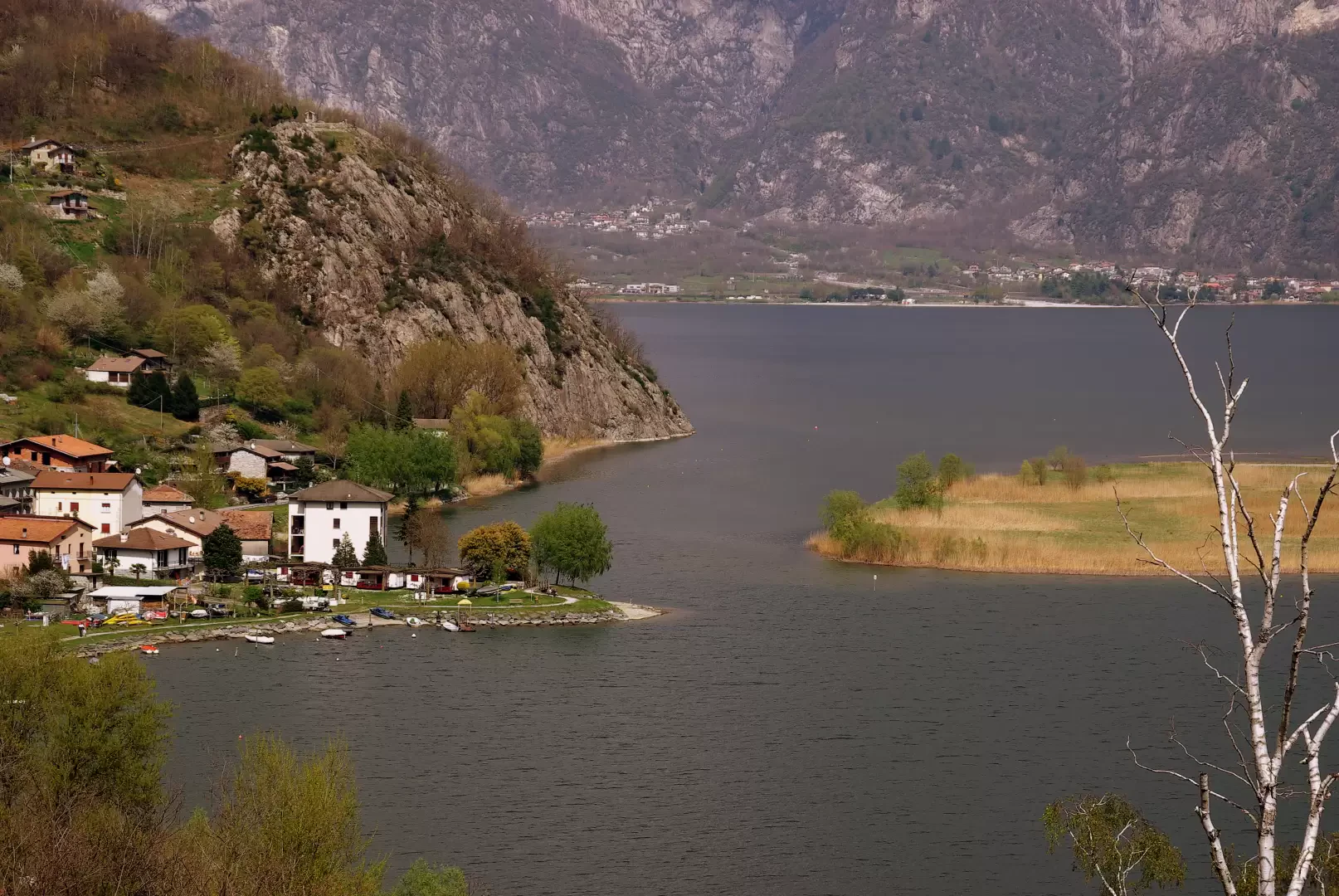
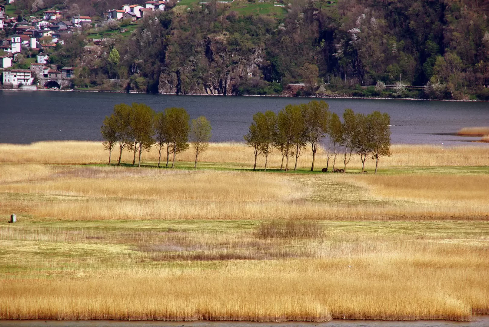
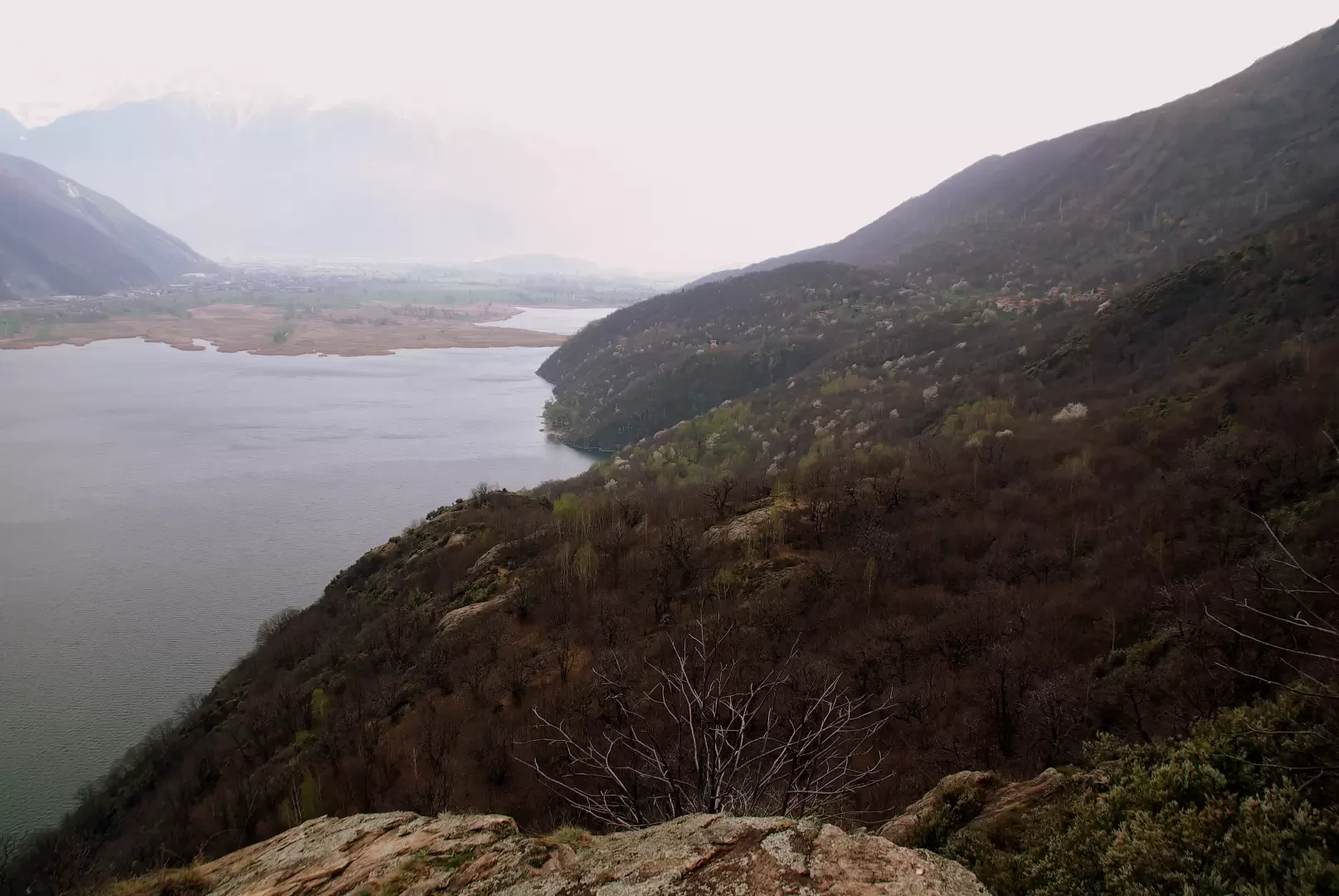
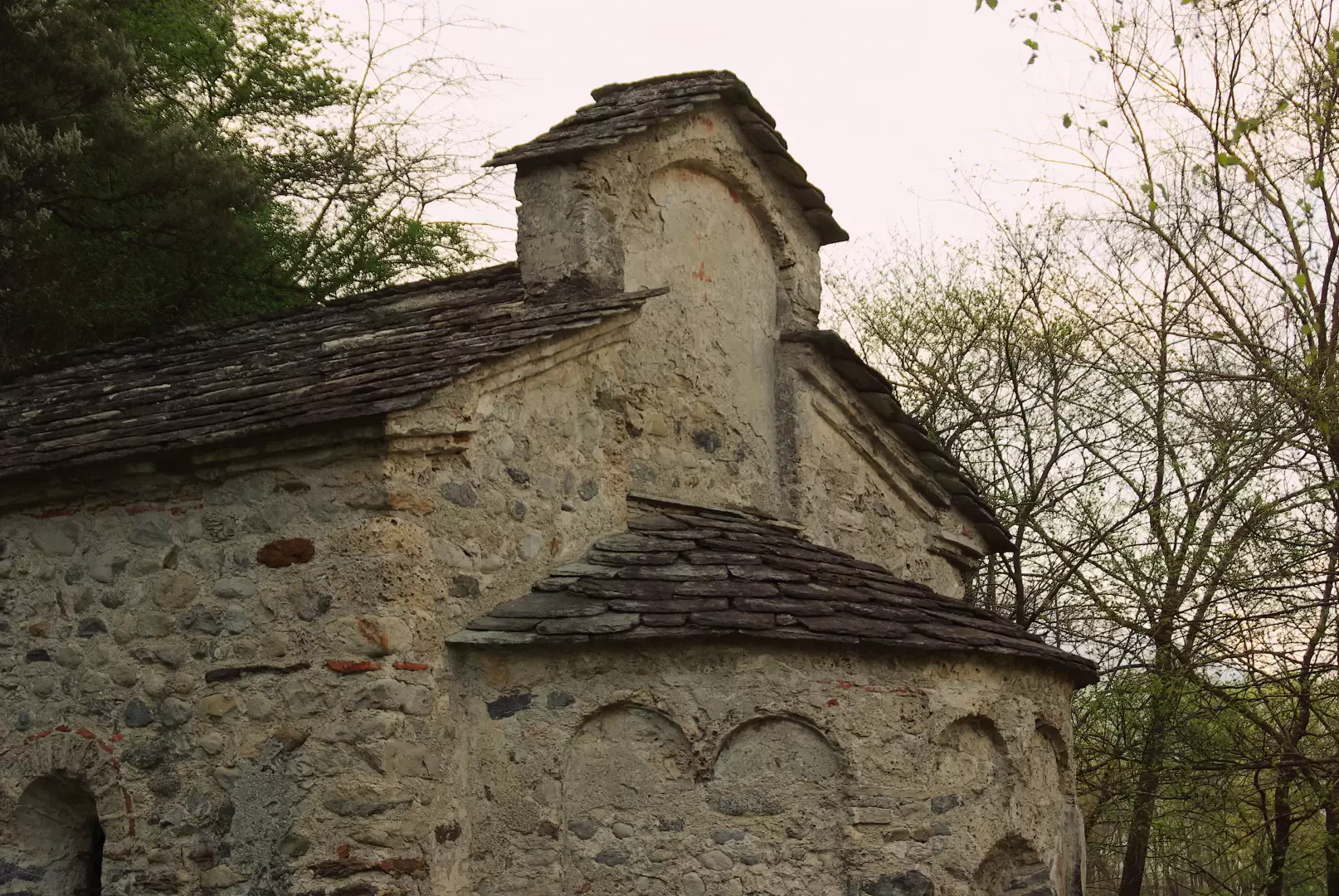
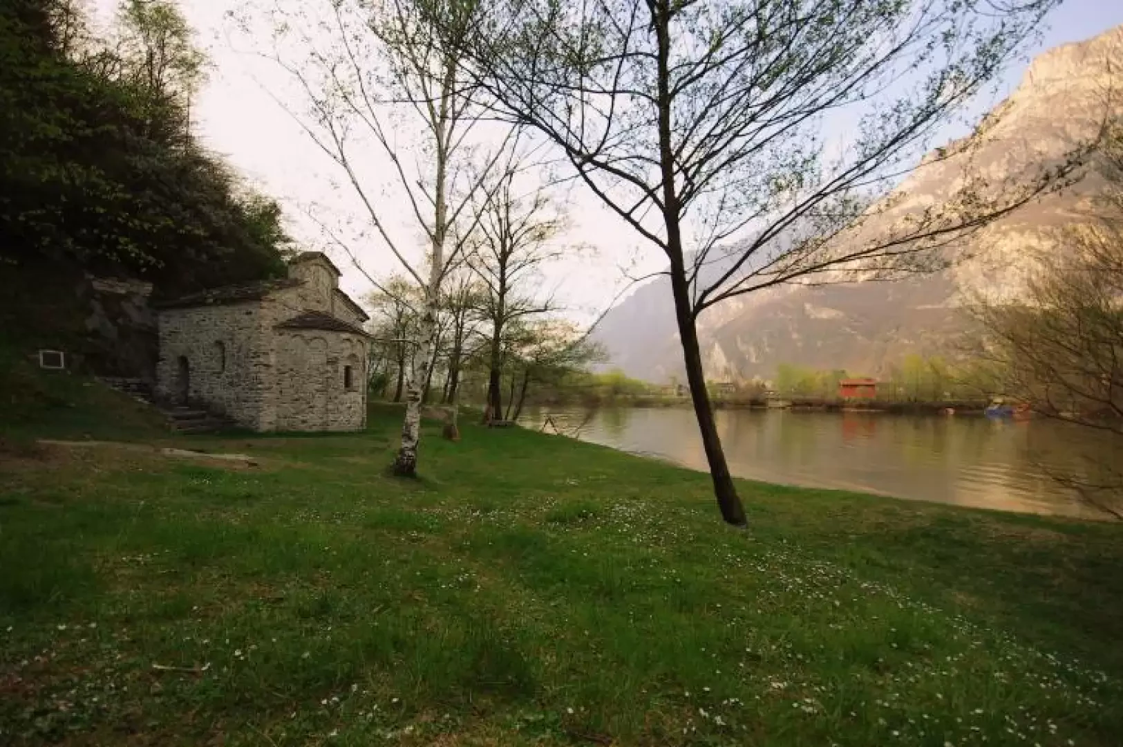
A popular scenic route that, following the ancient medieval route of the Strada Regina, skirts the beautiful marshes of the "Riserva Naturale del Lago di Mezzola e dei Piani di Spagna". The destination is a very old (11th-12th century) Romanesque oratory that houses valuable frescoes: among the oldest testimonies of its kind in the Alps. Very interesting, especially in winter, the resident and passage birdlife. Not to be missed, towards evening, are the flights of nesting swans.
Description
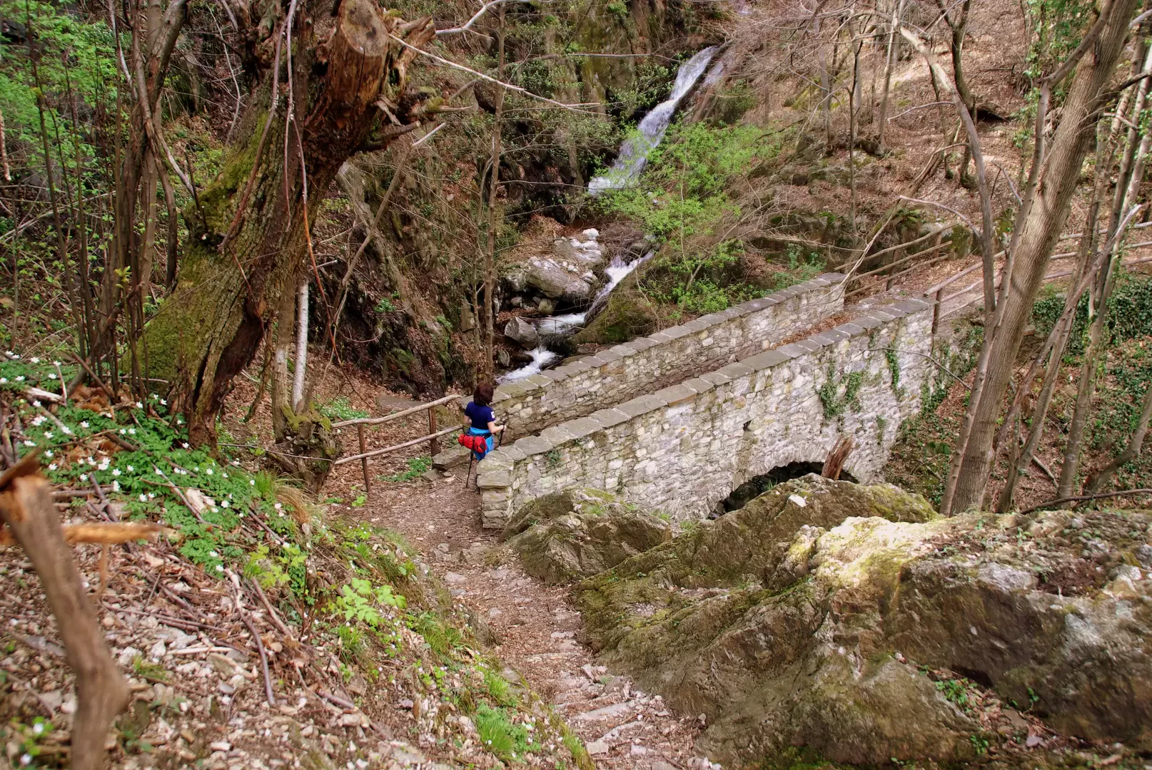
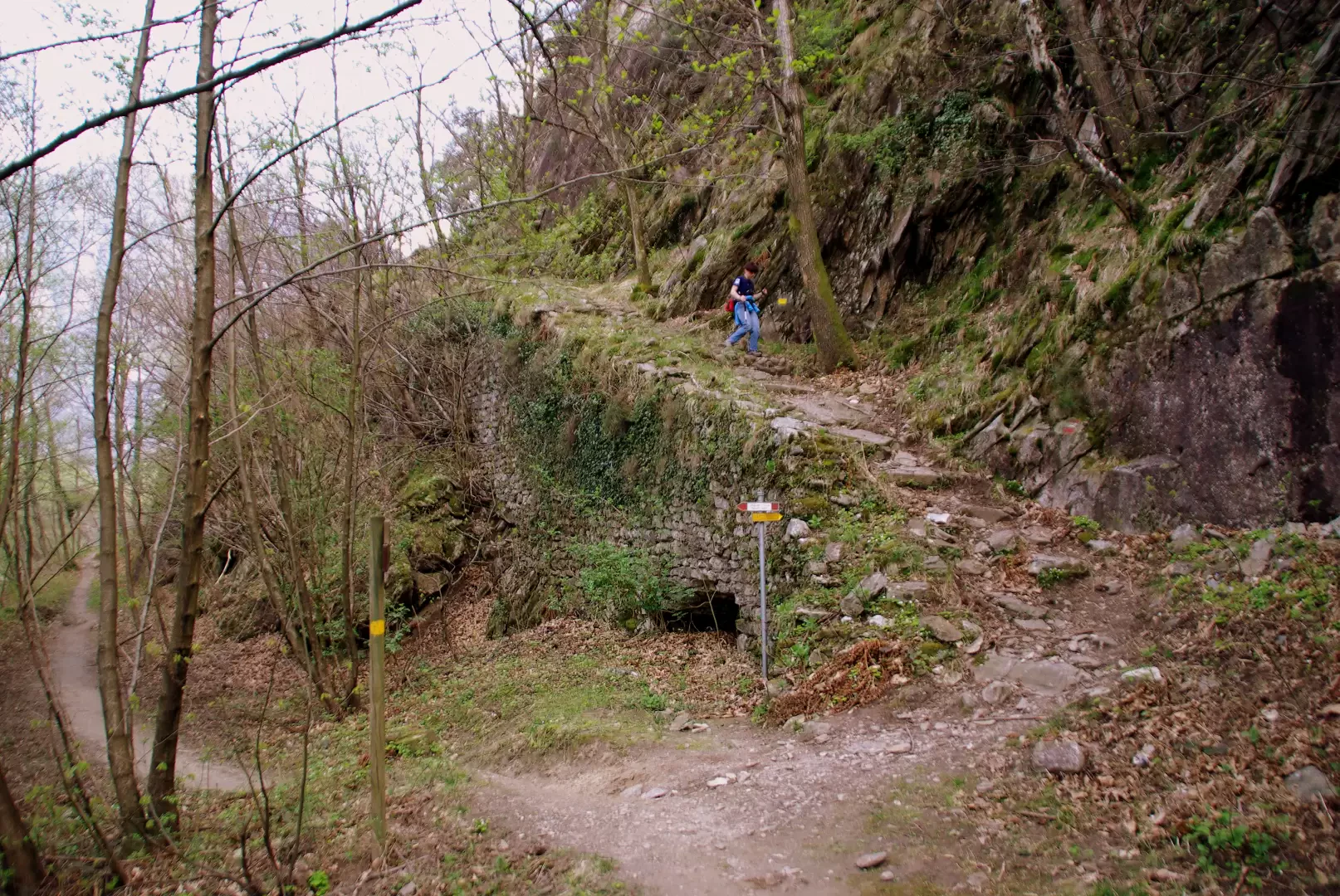
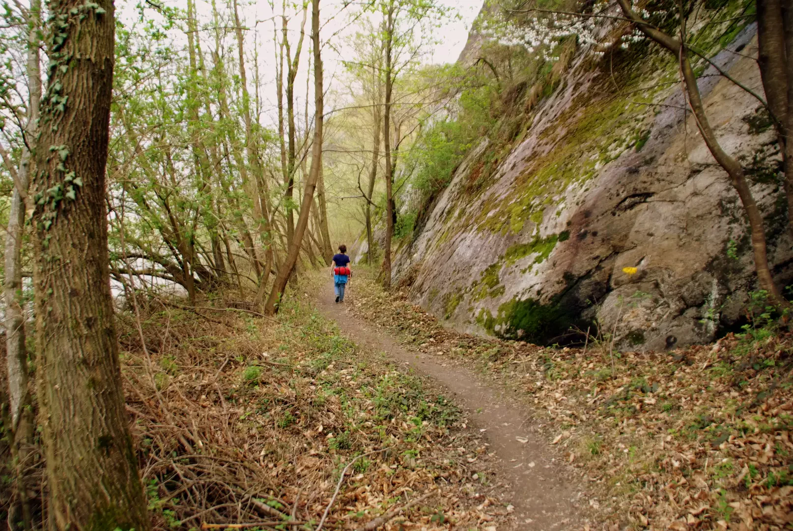
From the car park, cross the 204 m bridge again and immediately, on the right, take the road to the hamlet of Albònico (Via Palate); at the first bend, leave it to join, near renovated houses, a track that climbs up to a flat cart track. Continue to the right with slight ups and downs among cultivated terraces or abandoned recent coppice. Past the picturesque huts of Loco Fontana 262 m, a gentle descent leads to a hairpin bend on the upper Dascio road; continue straight on uphill until you reach the mule track that, after passing a few huts, reaches the rocky knoll of Sasso di Dascio 277 m (first-rate viewpoint). At a subsequent fork, keep to the right and continue as far as the parking area of Case Borzi 308 m. The path - hidden - can be found at the bottom of the clearing, on the right, and immediately descends steeply to the small bridge over the Acqua Bianca stream; a second small valley (Acqua Marcia) is crossed by fording, overlooking a dangerous footbridge. A few steep hairpin bends lead to the remains of a granite quarry and then continue between dry stone walls and the ruins of huts in the chestnut grove, evidence of the ancient vitality of these woods. A few more alternating stretches, amidst woods and glacier-smoothed ravines, then we reach the 470 m altitude peak just below the Brentaletto hump 532 m: from here begins the steep serpentine descent among the chestnut trees of the Alpe del Teolo (only a few dry stone walls remain) 319 m; on the right, a panoramic balcony overlooking the Pozzo di Madrone (the gulf adjacent to S.Fedelino, a mooring point for nautical tourists). Having passed a marker (disregard the diversions to the right, which will be the way back), the descent continues more muted and gradually the path reaches river level: a grand staircase (the 'Scalone') of pebble and lime masonry - 14th/15th century - indicates the meeting point with the path coming from Valchiavenna. Reverse direction and, a few hundred metres to the south-east, where the shore vegetation opens up into a meadow clearing, you come to the small building of San Fedelino 200 m. For the return journey, it is best to return to the Alpe di Teolo area via a very steep path that starts out not far from the little church: you will find the signs among the boulders of the granite quarry (which, being the first in this area, gave its name to the quality of the mineral: 'Sanfedelino'). From the Alpe, retrace the outward tracks. Photo gallery
Galleria fotografica