Rodoz, from Bellecombe
Access
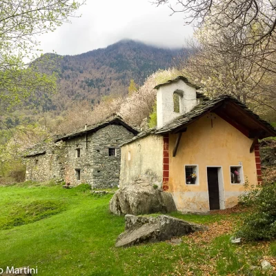
From the motorway exit at Châtillon, turn left heading towards the town centre until you reach a first crossroads where you turn left again. Follow Strada Barat then Viale della Stazione as far as the subway over the railway line, after which turn left again, following signs for Ussel/Pery/Bellecombe. Continue on the little communal road, cross the Dora Baltea and reach the characteristic village of Ussel, known for its medieval castle. Continue on the communal road surrounded by chestnut trees until you reach the village of Bellecombe, where you will find a large free car park 🅿️ in front of the chapel of Saint Anne.
[0h1'7] - [8.5km]
How to get there with GMaps
How to get there with Apple Maps
The directions given here have been verified at the date of the survey of the route. Before setting off, it is advisable to make sure that no substantial changes have occurred on the route to the starting point. Therefore, we recommend the use of the satellite navigation apps provided by Google or Apple for up-to-date and detailed directions.
Introduction
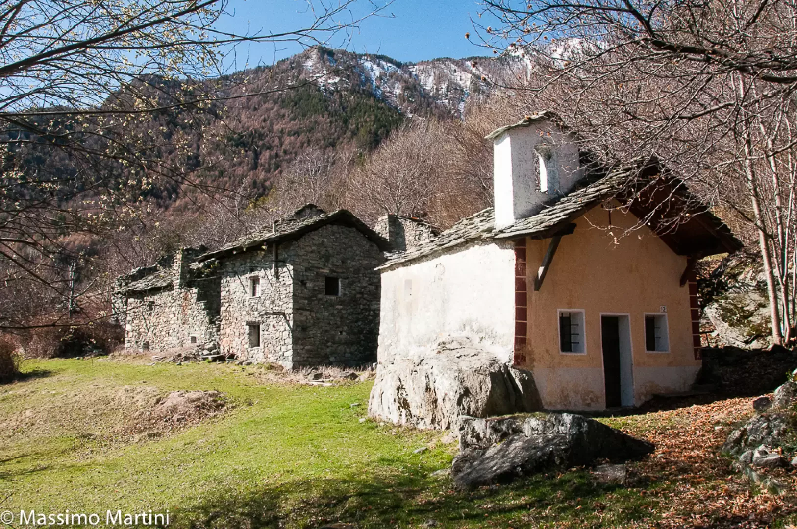
Rodoz is an abandoned village nestled on the orographic left of the main Valle d'Aosta valley. The place is extremely charming, offering pleasant feelings of isolation and solitude. The proposed route presents no difficulty and is relatively short.
Description
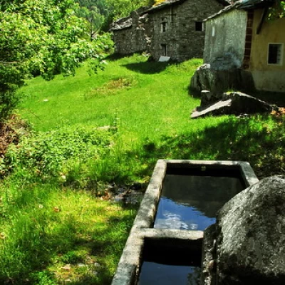
0h00' 0.00km Leaving the car behind, proceed to the left of the pretty chapel of Bellecombe, dedicated to St Anne, taking a dirt track that leads between reclaimed fields and chestnut groves with beautiful views of the not-too-distant peaks of the Val d'Ayas. At the end of the small road, you reach a clearing where the path starts, climbing briefly into the forest and crossing a rocky stretch. After the very short climb, the path proceeds through the Scots pine forest and juniper undergrowth with a very gentle slope. After walking for about 30 minutes, you come to a power line pylon, where a path branches off to the left and leads to the not very well known peak of Mont Avi (1117m): the diversions can add about 10 minutes to the hike. Continue through the beautiful forest, which occasionally opens up to reveal interesting glimpses of the towns of Saint-Vincent and Châtillon below, Mont Zerbion, and in general the curvature of the main valley. Slowly we leave the part of the forest known as Belle Côte to embark on a section of steeper slope, with the path proceeding halfway up the mountainside with a few small climbs. Once having passed under the power line, one enters the municipality of Montjovet and then the slope of the ascent eases as one enters a wooded balcony. The Scots pine is gradually replaced by downy oaks as the path veers to the left, following the curvature of the main valley. Having reached the maximum altitude of the itinerary (1136m), a short descent is undertaken and the meadows in front of the village are reached: a short flat section leads to Rodoz (1125m 💧), which immediately offers the hiker the remarkable 16th century chapel dedicated to the Visitation of the Virgin Mary 0h50' 1.98km .
The return trip is along the same route as the outward journey and can be supplemented with the ascent of Mont Avi 0h50' 1.98km .
We have been there
Rodoz
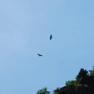
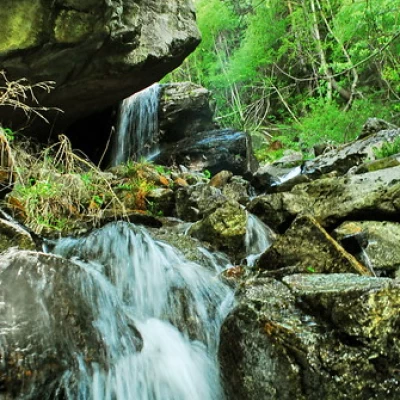
Una leggera e semplice passeggiata con un dislivello di poco più di 100m in salita e 100 in discesa intorno a 1100m s.l.m. Il sentiero è molto fotografico, offre infatti vari spunti per scattare: dalle radici sul percorso alle pietraie del Mont Avi, dai classici panorami a delle orchidee selvatiche, da un cascata a delle rovine. Importante mantenere la sinistra dopo la prima pietraia partendo da Bellecombe e seguire le indicazioni gialle e le invadenti pennellate rosso/bianco delle celle forestali. Saranno ben visibili le tracce di alcuni cinghiali che andranno sempre aumentando; giunti all' apice del sentiero, prima di iniziare a scendere, dedicate qualche istante al panorama su St. Vincent e cercate qualche rapace che probabilmente si librerà dai roccioni in basso a sinistra... Si scende passando in boschetti di pino pieni di calma e decorati da fiori gialli e da... ronzanti cavi dell' alta tensione... A tratti il sentiero attraversa un piccolo corso d' acqua, ma nulla di impegnativo ed in breve tempo conduce al vecchio insediamento di Rodhoz in cui il panorama si apre su Monte Zerbion, Dame di Challand e tutto ciò tra loro compreso. Fatevi un favore ed andate cercando l' arco costituito da un intero tronco di albero piegato. Dal villaggio, salendo appena a monte si ritrova il tracciato che in breve tempo conduce al torrente Rodhoz che vale la pena risalire per vederne le varie cascatine. Avvistamenti faunistici: Aquila chrysaetos Proseguendo si può raggiungere Gettaz nel comune di Montjovet.
Tor de Rodoz
Ho percorso l'itinerario all'interno di un giro più ampio con partenza da Saint-Vincent. Giornata nuvolosa con deboli precipitazioni, nevose nei pressi del colletto che precede la discesa su Rodoz.
Sentiero in ottime condizioni.
Petit Tor de Rodoz
Report della gita
Giretto in assetto trail (moderato) alla scoperta del sentiero che dal borgo di Montjovet conduce a Rodoz. Giornata uggiosa con qualche folata di vento fresco ma senza prendere acqua. Le zone attraversate sono selvagge ma sempre molto suggestive.
Informazioni generali
Condizioni via o sentiero: ottime
Pericolo Oggettivo: nessuno
Tratti esposti: nessuno
Condizioni meteo
Cielo: coperto con qualche sprazzo di sole
Temperatura: 22°
Avvistamenti
Fauna: evidenti tracce di rovistamento di cinghiali
Flora: prime timide fioriture
