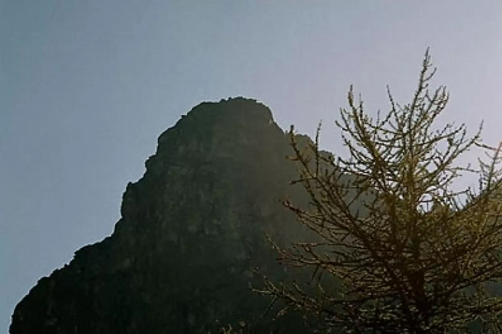
Rocca Tovo, from Pian della Mussa

Edited by:
Marco Andreis
Updated at: 08/06/2025
Introduction
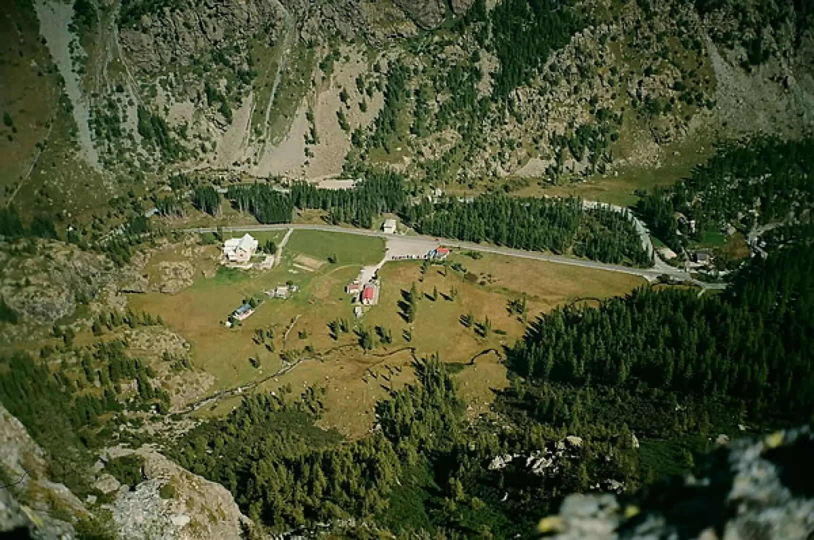
Easy itinerary; uninteresting climb for the first half hour, then a pleasant hollow with alpine pastureland and a good view of the coastline dividing the Val d'Ala from the Val di Viù; decidedly remarkable panorama from the summit. Rocca Tovo, rises imposingly on the orographic right of the lower part of the Pian della Mussa basin and appears, towards the plain itself, as an almost vertical wall of decomposed rock; Its mass, a little unbalanced forward, can be seen very well, looking to the left, as you drive along the narrow hairpin bends of the road that from Balme (the birthplace of the famous mountain guide Castagneri-Touni Antonio, known as 'Toni dij Touni', who died during an ascent on Mont Blanc accompanying his client Count Umberto Scarampi di Villanova in 1890) climbs to Pian della Mussa. When you reach the plain, cross the bridge over the Stura, and cross the first part of the same, leaving on the left the rocky spur at an altitude of 1832, with the characteristic building of the historic Hotel Broggi (now a parish holiday home), and on the right the larch grove with the buildings of the City of Turin aqueduct (once the pastureland of the Mussa dìj Toùni), until you arrive near a large group of huts called Grange della Mussa. (For gourmets, the old Bricco Restaurant is open during the summer season and is well worth a stop).
Description
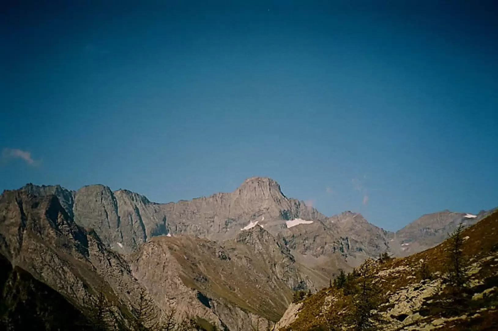
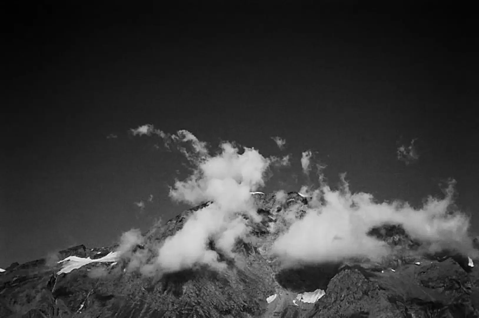
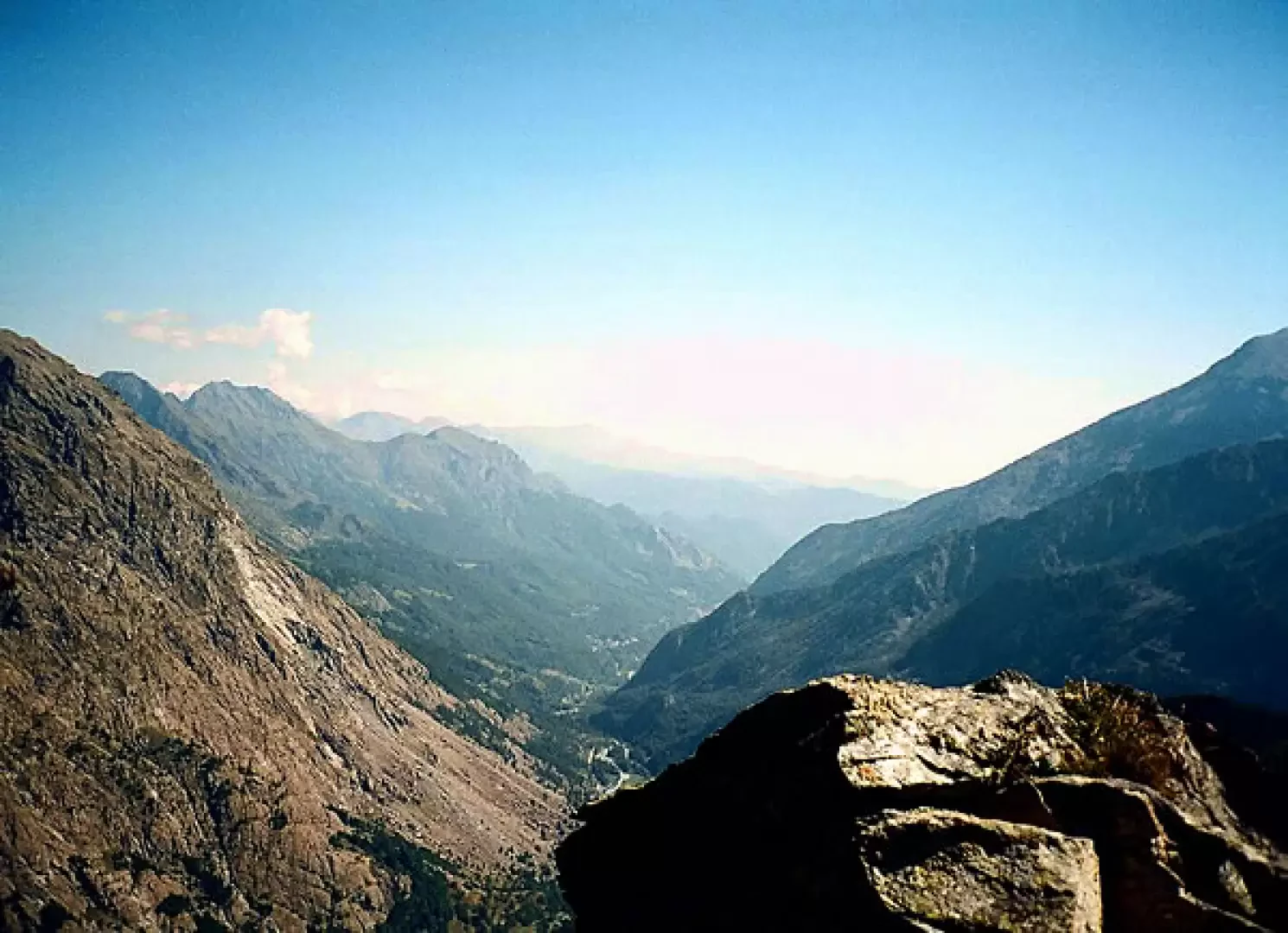
Leaving the car in the car park (for which there is a charge in July and August), we cross a wooden bridge and head in the direction of a few houses located just behind the ominous bulk of the Rocca Nera and marked on the maps as Villa Sigismondi; here it is possible to get water from a fresh spring that gushes out right next to the boundary wall of the last house. From the spring, the path bends to the left towards a hidden little valley (which shows a beautiful bloom in spring), then begins to climb to the right, decidedly steep and narrow in the midst of rather lush shrubby vegetation. After a few metres, a fork in the path is evident: the path on the right climbs towards Rocca Nera and then after a short while bends to the east and also heads towards Rocca Tovo (but with a longer route), while the path on the left climbs steeply and narrowly directly towards the Rocca; it can be slippery for very short stretches due to the presence of water infiltrations and outcrops of serpentine rocks (notoriously treacherous when wet). After about half an hour, the slope softens considerably and the shrubby vegetation disappears to leave room for the pastures of Alpe Saulera; before reaching the basin of the alpine pasture, the path touches a characteristic wetland consisting of an expanse of moss mixed with water that takes on variegated and shiny shades of green when hit by the sun's rays; at this point it is still possible to refill with water, which, beyond this, will no longer be found. From the wetland area, climb a little further until you cross the lower part of the Alpe Saulera basin, the buildings of which can be seen on the right, heading southwards, at the base of the valley of the same name, which ends at the top with the Passo delle Mangioire; instead of reaching the mountain pasture, follow the track of the path that bends to the left, to the east, and climbs towards the grassy Colletto del Tovo, at this point very evident between the Rocca of the same name and a large rocky area. During the entire ascent, the rocky mass of Rocca Tovo is in front of you. The part of the path that goes from the Alpe Saulera basin up to the Colletto del Tovo rises in steepness and, in certain sections, is not very evident. Although it is marked with close red paint notches or small stone cairns, it could be difficult for inexperienced hikers in foggy weather, although the slope does not present any risk and could be climbed even if the trail was lost. When you reach the col, the path, which should continue downhill towards Balme, is in fact no longer visible, but at this point the goal is really close at hand: on the left, a steep slope of grass and outcropping rocks makes it possible to reach the summit in a matter of minutes, where a slender iron cross is located. Attention must be paid here, especially in case of fog or low clouds, because the slope of grass and outcropping rocks ends very abruptly with an overhang and a 'jump' onto the Pian della Mussa of a few hundred metres! From the summit, apart from the aerial view of the eastern part of Pian della Mussa below, the panorama is one worth enjoying. To the south you can see the very close Punta delle Serene, Monte Bessanetto, the Lucellina and Loson peaks (divided by the narrow notch of the Passo delle Mangioire) and Punta Servin; to the east, your gaze sweeps as far as the lower Val d'Ala, where you can catch a glimpse of the characteristic cliff topped by the Sanctuary of Santa Cristina; to the north, the mass of the Uja di Mondrone (the "Matterhorn of the Lanzo Valleys") appears very close and slopes towards the west, in the rocky crest of the Speroni di Sea and Punta Rossa di Sea as far as the notch, at 2780 m, of the Ghicet di Sea from which rise, still to the west, the 3262 m of the Albaron di Sea and, highest of all, the 3676 m of the Uja di Ciamarella, which towers above the characteristic red rocks of the Lance; to the west of the Ciamarella, one can see the 3475m of the Collerin with the ample amphitheatre of the Pian Gias, the unmistakable mass of the 3600m of the Uja di Bessanese, up to the Punte Maria and d'Arnas. For those with a passion for minerals, the Rocca Tovo area offers interesting points of research since, like practically the whole of Val d'Ala, it is made up of serpentine rocks and rodingites, which often include discrete garnets of a beautiful light red colour, but above all, one can find crystallisations of lamellar and cylindroid diospid of a translucent greenish-white colour, which, from the name of the locality, has been called 'Mussite' by mineralogists. The descent can, of course, be made by following the itinerary of the ascent or, having reached the Alpe Saulera buildings, by continuing for an almost flat stretch in a westerly direction and then descending, along a less steep path, behind the Rocca Nera to rejoin the outward path at the first fork mentioned, near Villa Sigismondi. Here, before crossing the plateau again towards the car park, the rocks at the base of the overhanging wall of the Rocca Nera, towards the plateau, still offer interesting opportunities to find minerals: relatively easy to find is Mussite (unfortunately often found only in rather massive form), but above all it is worth looking for a variety of garnet coarse garnet of a beautiful honey-yellow colour, on a matrix of carbonate lime.
.Galleria fotografica