Rocche del Reopasso, from Camarza
Access
From the Milan-Genoa motorway, exit at Ronco Scrivia, go back towards the village and turn right passing under the railway and the motorway towards Pietrafraccia. From here you follow the bumpy road uphill to Bastia (where you can leave a car for the return journey) and then continue on to Semino and Camarza. Car park at the beginning of the path.
Introduction
The Rocche del Reopasso are part, like so many other itineraries, of that Apennine arc bordering the provinces of Genoa, Alessandria and, going eastwards, Pavia and Piacenza. Routes that once constituted a busy and dense network of roads where the various Vie del Sale (Salt Roads) passed, linking the Po Valley to the sea. With the advent of roads, and in particular the motorway, the area has been gradually forgotten, becoming alien to the eyes of those who hastily cross it by car. But the 5 kilometres from the Ronco Scrivia tollgate to Bastia are enough to enter another world of farmsteads, mule tracks and historic buildings.
Description
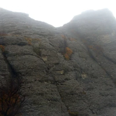
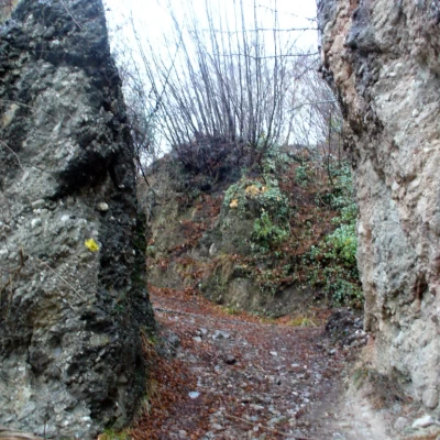
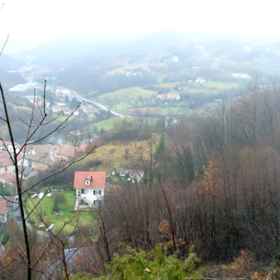
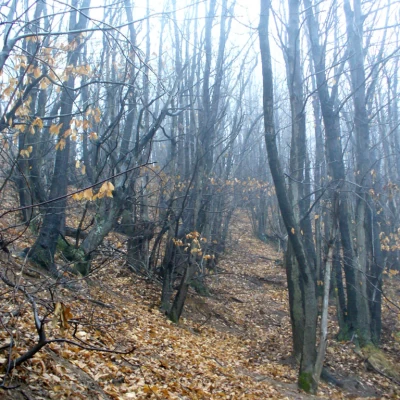
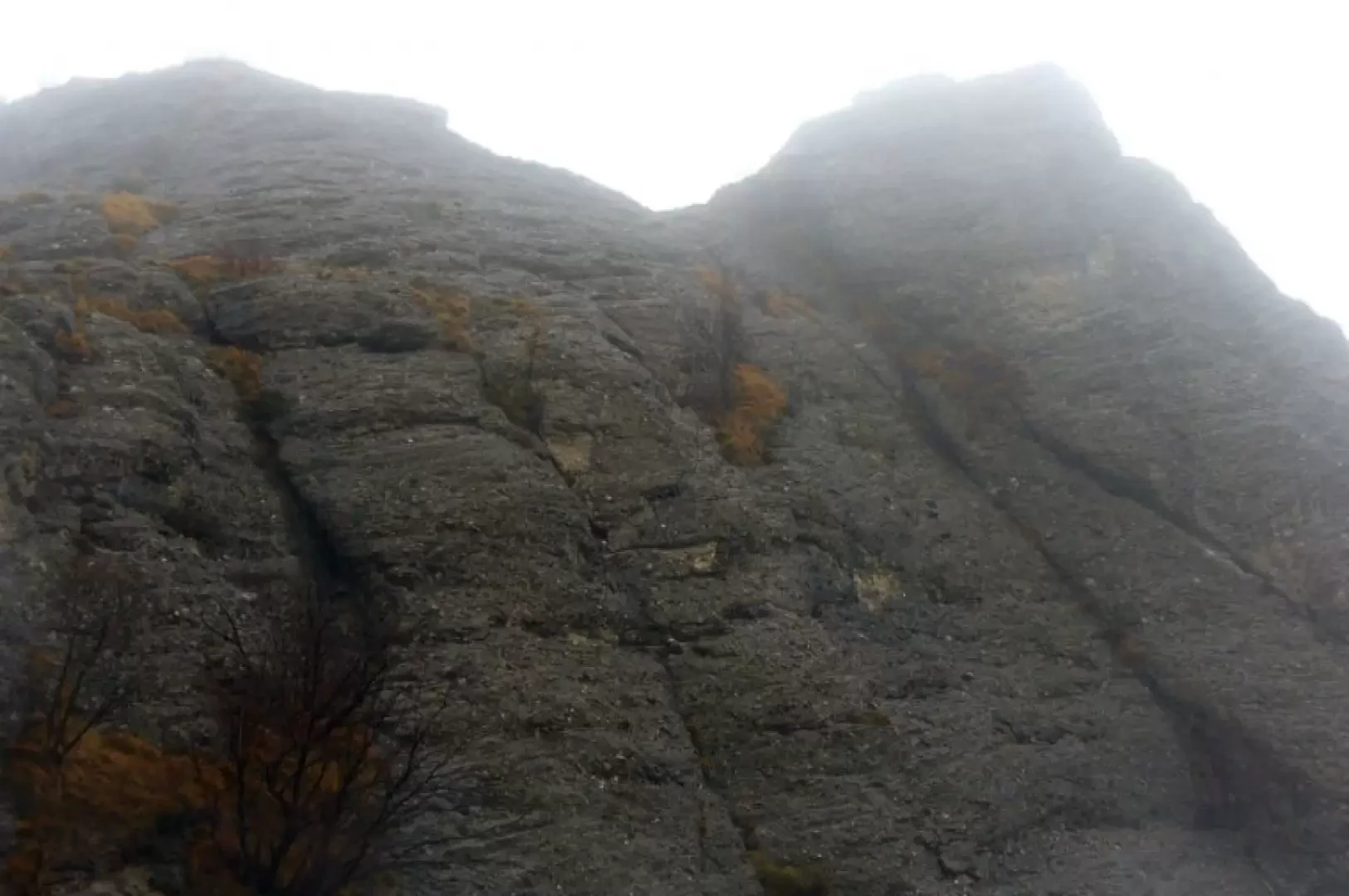
From the Camarza car park, where there is a signpost for the route, we enter the village following the geometric marks of the F.I.E., a solid yellow rhombus accompanying us on this stretch. A few hundred metres and we leave the tarmac road to pass between two conglomerate formations that mark the actual start of the route. We continue briefly along the unpaved road, paying attention to a fork to the left, which is indicated and leads us onto a panoramic path above Camarza that slowly makes us gain height in the dense chestnut forest. The signs are always present even if at times the track is not evident, especially because of the various other tracks left by the wild boar, which are numerous in this area. Having reached the ridge, we turn sharply to the left in the direction of the Rocche proper. Below the Rocche we come to a fork in the road, to the right we descend, with a demanding equipped section, towards the climbing walls and the Vobbia valley, to the left our itinerary, which changes geometric symbol, two Xs. First, however, it is worth the climb to the top of the Rocca. This is a demanding section of the hike due to the exposure and rocky terrain. Only to be done in good weather and with a sure footing. Having resumed our itinerary (which could also be joined from the summit by taking a stretch to the west and descending along an indicated track, not recommended), we cross the entire southern slope of the ridge in a succession of wooded thickets and gullies, some of which deserve particular attention due to their exposure. Shortly afterwards, you come out onto an easy dirt road that gently slopes down towards Minceto (rarely do you come across signs, more frequently the vignettes). After about an hour's walk from the junction of the Rocche, we come to the turnoff for Bastia, and then begin to descend on the left, following the symbol of three full balls. This is also a stretch where wild boar can easily be encountered. Still following the downhill marks, sometimes marked and sometimes not, we arrive at the hamlet of Bastia. All that remains is to go and retrieve the car.
.Cartography
- "The Natural Park of Monte Antola", scale 1:30,000, FIE
