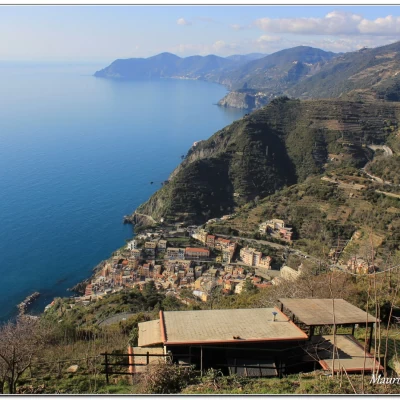
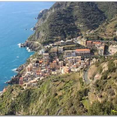
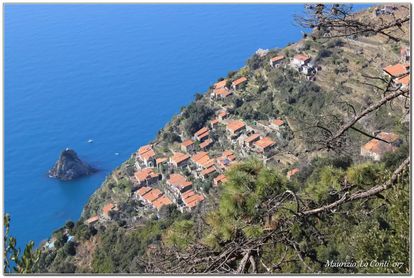
Riomaggiore, from Acquasanta
Access
You exit the motorway at La Spezia, pass through the town centre and continue in the direction of Portovenere, until the junction for Campiglia (free parking).
Introduction
The crossing from Acquasanta di Marola to Campiglia and Riomaggiore.
Description
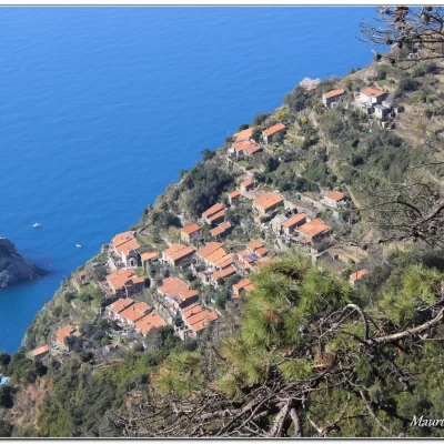
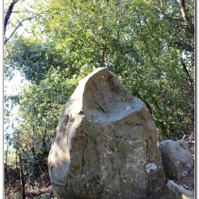
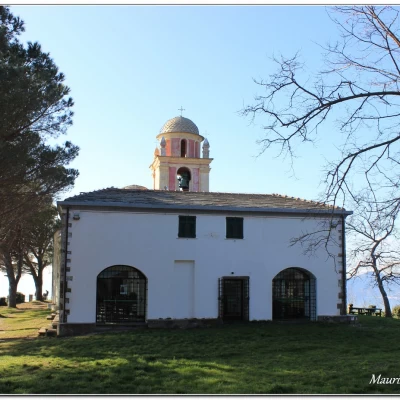
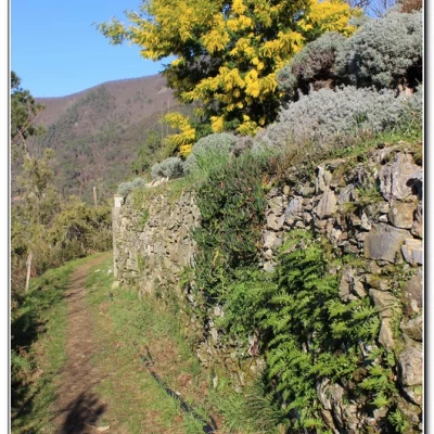
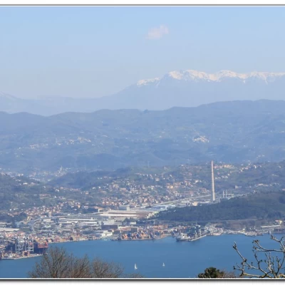
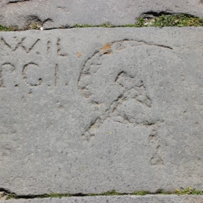
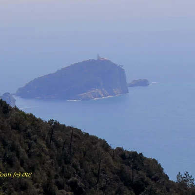
From Acquasanta (La Spezia), take the road to Campiglia (300 metres) and, after the cemetery, a bridge leads to the right bank of the Caporacca stream. Shortly after, the asphalt road goes back up the valley floor (be careful!). At the first hairpin bend, a stairway branches off to the right. This is the ancient direct route between the coast and Campiglia; built at the end of the 19th century, for a long time it was the only link. Thanks to skilful construction, it is still perfectly preserved today and winds its way in an endless series of hairpin bends, gently recovering height through chestnut woods. Stonemasons have left traces with inscriptions about cycling and more... In about 75', you are in Campiglia (400 m), with beautiful views over the Gulf of La Spezia to the Tuscan islands! In the main square is the Church of Santa Caterina. From the village, you can choose between the path that follows the ridge (and overlooks Rocca Storti at 558 m), which is slightly faster but ultimately less scenic, or take the lower path that is more open (view of the village of Schiara), especially at the beginning. Both rejoin at the chapel of S. Antonio Abate 511 m (dedicated to the Alpini) where there is a large picnic area, a fountain and a bar, an ideal spot for a rewarding rest. During the inspection we had opted for the direct route, but this time we choose the more interesting secondary route (1h15 instead of 1h). We pass the Nozzano Fountain (344 m) built in 1805 by Napoleonic soldiers and used for laundry until a few decades ago... We then pass a boulder, known as the Devil's Menhir. It was the work of ancient Ligurian populations with functions related to sacredness. Nearby, there are the remains of a 'pose' where farmers used to take a rest by resting the load they carried and a shelter dug into the mountain with dry stones. Finally, we reach the chapel of S. Antonio Abate 511 m (lunch break).
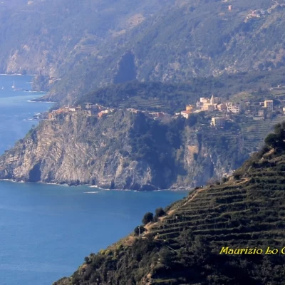
Afterwards, we depart and reach Telegrafo (516 m), where there is a restaurant. We pass Lemmen, which is a small settlement in an excellent location, already mentioned on maps from the 13th century! The path leads to the Mad. di Monte Nero Sanctuary 341 m (1h15), with spectacular views. From the square, opt for the path that descends to Riomaggiore along the Via Grande, "an ancient road connecting the village to the Sanctuary of N.S. Di Montenero with the path interspersed with votive shrines (restored in 2009)" Once there (1h), we visit the village then by train (10' - dear E 2.2), on foot (10'), because incredibly from the station does not pass the line that goes to Portovenere, and by bus (10' - line P or 11 - E 1.5 ) we return to Acquasanta di Marola where the cars wait.
All in all: Beautiful day disl 600 mt Dif. E. 4h30 Tot. + all the breaks x see the various places you encounter
Trip photos:
http://www.cralgalliera.altervista.org/Campiglia017.pdf
http://cralgalliera.altervista.org/anno2017.htm
Pdf file with some shots other than individual photos:
http://www.cralgalliera.altervista.org/Campiglia016.pdf
NB: In the case of a trip, always check with FIE, Cai, any park authority or other institutions, pro loco, etc., that there have been no changes that have increased the difficulty! No liability is accepted. This text is purely indicative and not exhaustive.
Info Hiking Section Cral Galliera: http://www.cralgalliera.altervista.org/esc.htm
trips 2017 at link: http://www.cralgalliera.altervista.org/gite2017.pdf
