Moregallo Ring

Edited by:
Rita Tarussello
Updated at: 03/09/2024
Description
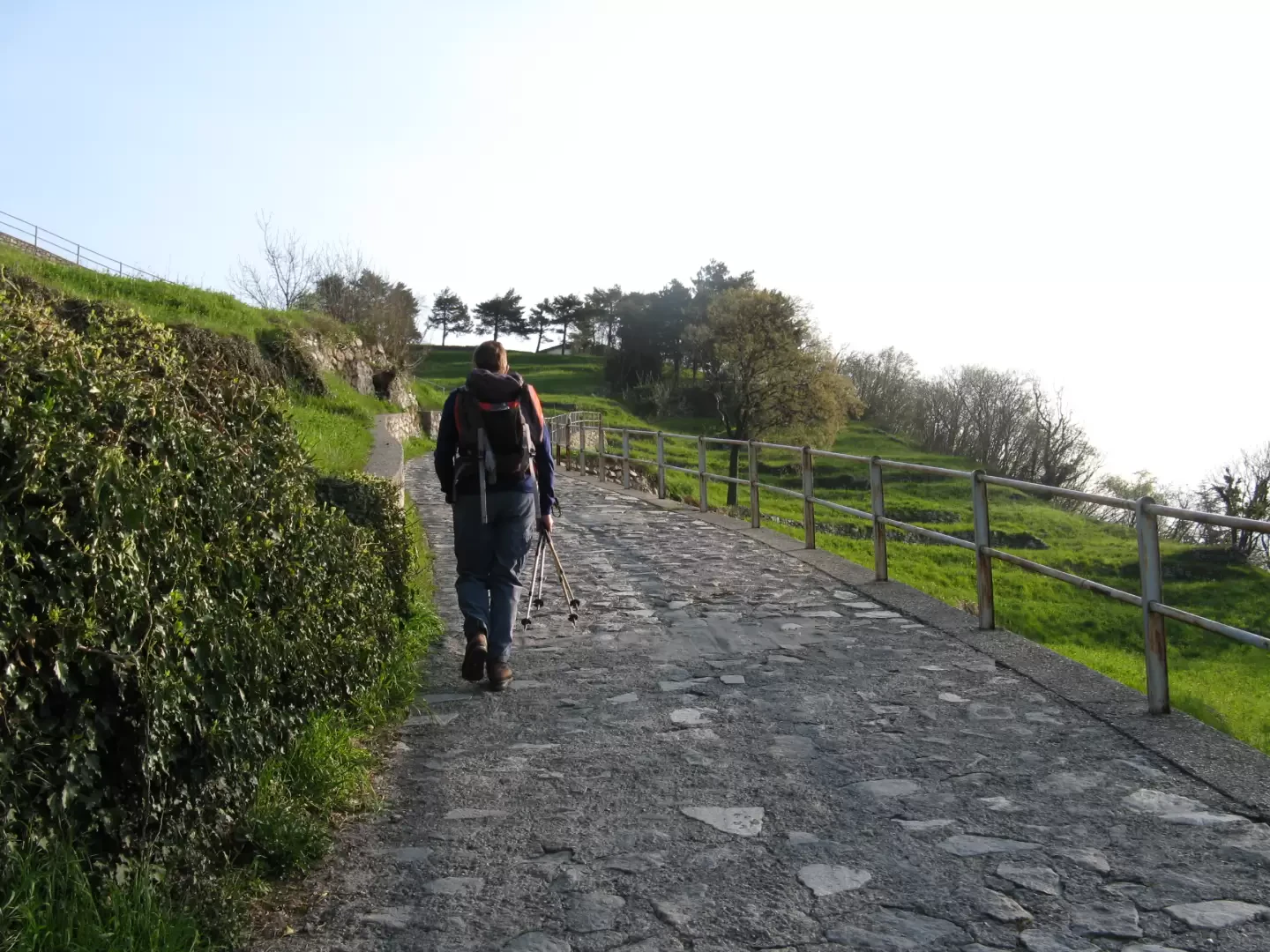
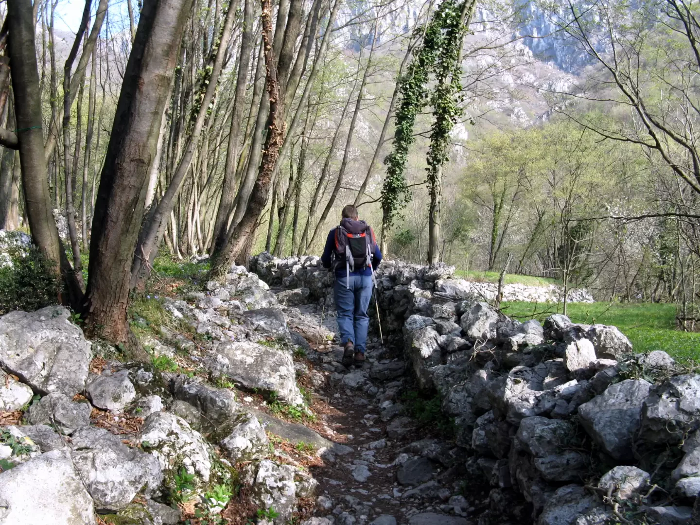
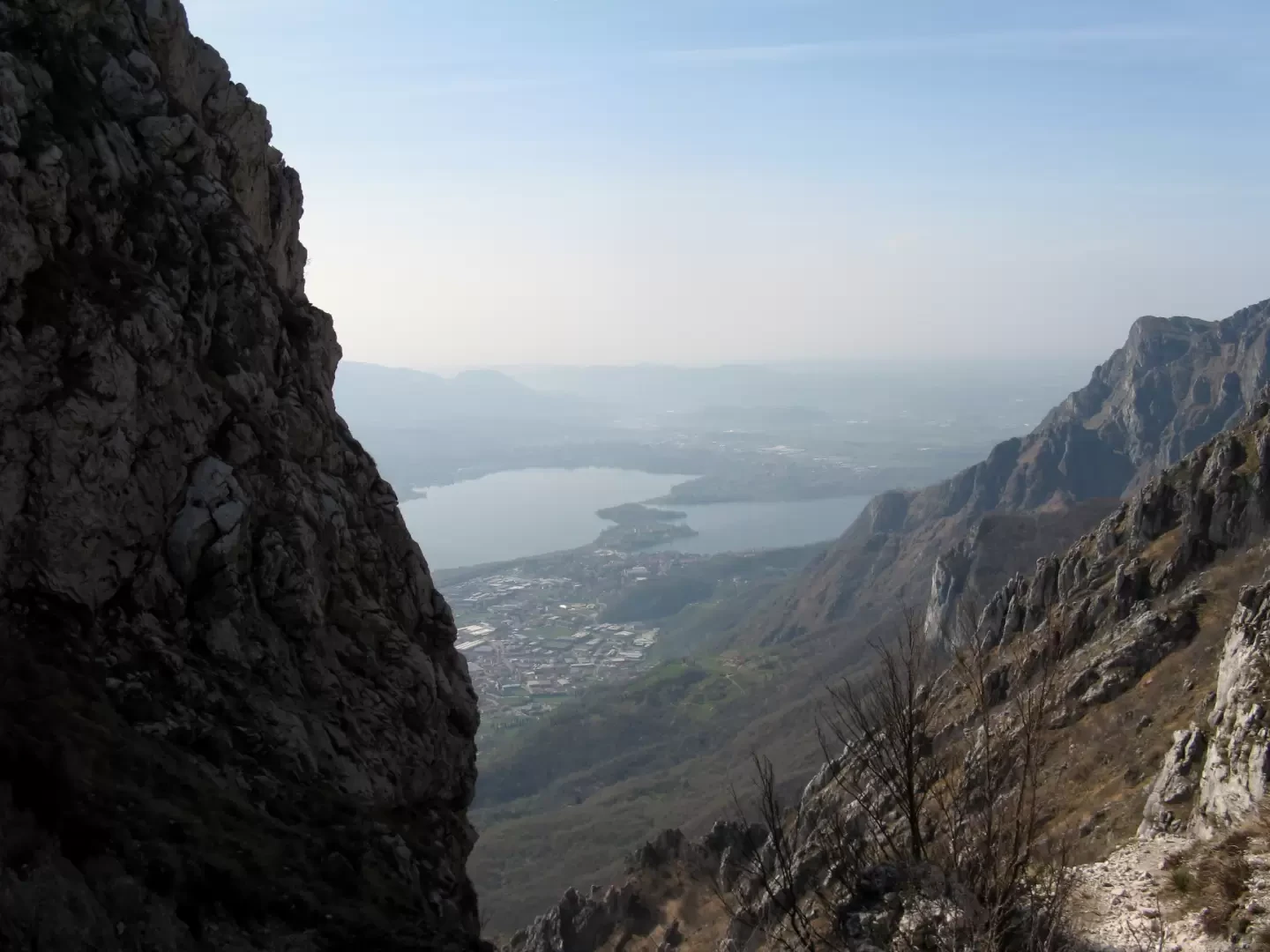
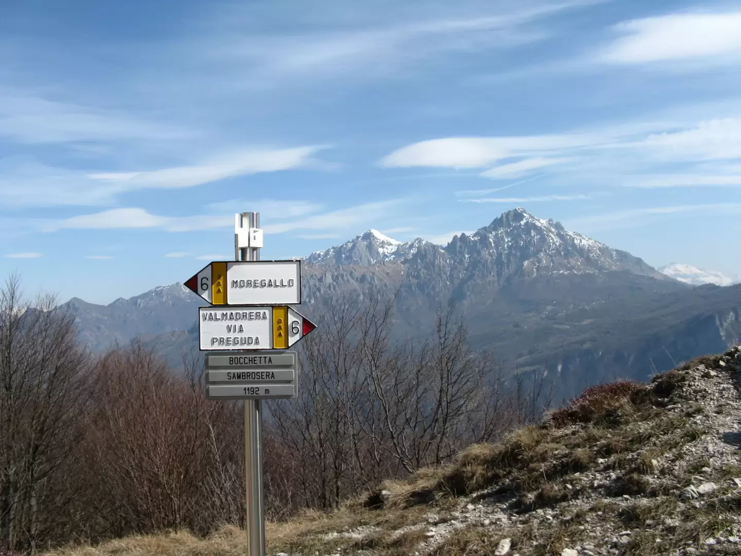
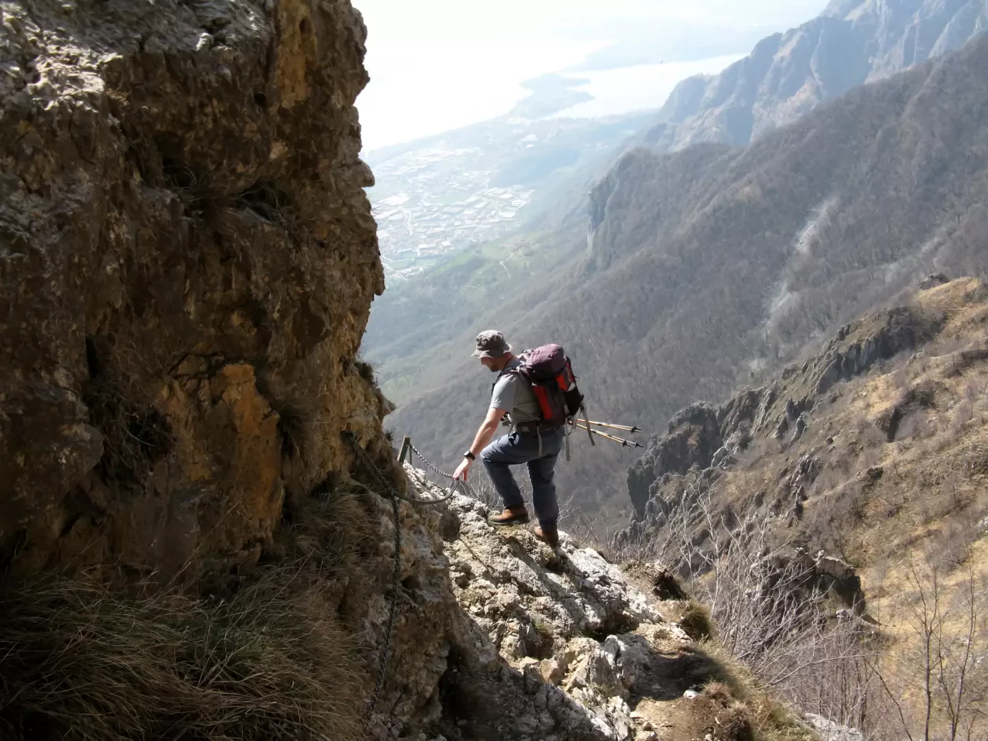
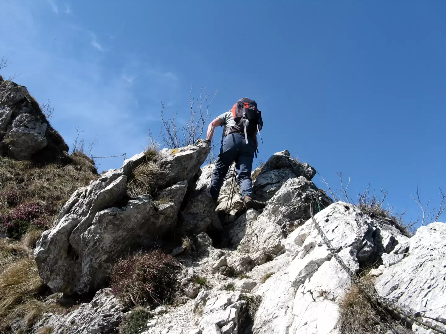
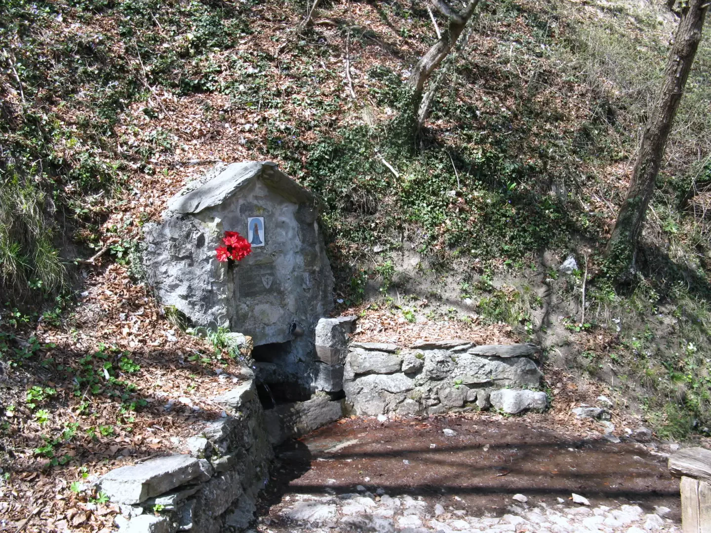
Leaving the car behind, continue along the road, which soon becomes cobbled. A little further on, near a small chapel and a signpost with indications of the various routes, leave the mule track and turn right onto the path marked with numbers 6 and 7. We now ascend into the forest in a north-north-westerly direction with a constant, moderate gradient until we reach a fork in the road at Fonte di Sambrosera at an altitude of 716 metres. At the post with signposts, follow path no. 6 to the right, which turns to the north-east and, with an increasingly steep slope, leads to a gully that is climbed laboriously to reach the Sambrosera Gorge, elevation 1192 m. From here, your gaze sweeps over the northern slope with a view of the whole of Lake Como and the surrounding peaks: from the Grigne to the more distant Swiss Alps. We now head east on a scree path along which we quickly reach the cross located just below the summit of Mount Moregallo (1276 m), a grassy peak near a beech grove. From the summit, the festooned profile of the west ridge can be outlined, beyond which the Corno Orientale di Canzo can be recognised and further on the SEV Pianezzo hut, located below the Corno Centrale di Canzo. The path runs through the grass for a few tens of metres, but immediately plunges southwards into a narrow gully, which is traversed with the aid of chains and descends for about fifty metres before finding a fork. Take the track to the right that climbs between grass and rocks and, again with the help of chains, follow the ridge line that, with a varied route with more or less exposed ups and downs, descends to the Bocchetta di Moregge at 1110 m. Signposts indicate the way to the SEV Pianezzo hut on the right and the various descent routes on the left. Follow path no. 7, which enters the forest with a moderate gradient and leads to the Fonte di Sambrosera spring, the end of the loop. The path is now the same as the outward journey and, heading south-east, descends to the crossroads at the little chapel on the stone and concrete road through which, in a few minutes, you return to the hamlet of Belvedere.
Galleria fotografica
We have been there

Edited by:
Ermanno Panara
Anello del Moregallo
Si parte da molto basso, questa gita è da evitare già da maggio perchè il caldo diventa insopportabile. Il periodo è limitato perchè bisogna attendere il completo scioglimento della neve. Al Moregallo ci si arriva da un sacco di posti, e ci sono anche diversi itinerari alpinistici di tutto rispetto; non si direbbe, quando si arriva in cima, coi suoi boschetti di faggi.