Lake Countryside Ring

Edited by:
Ivano Ruffoni
Updated at: 27/02/2025
Access
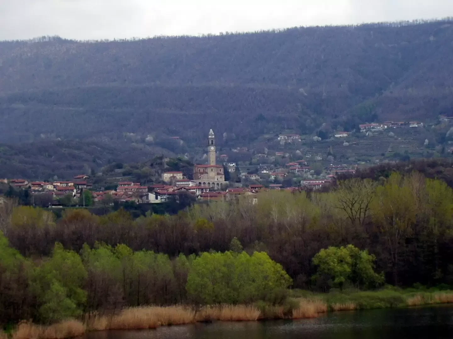
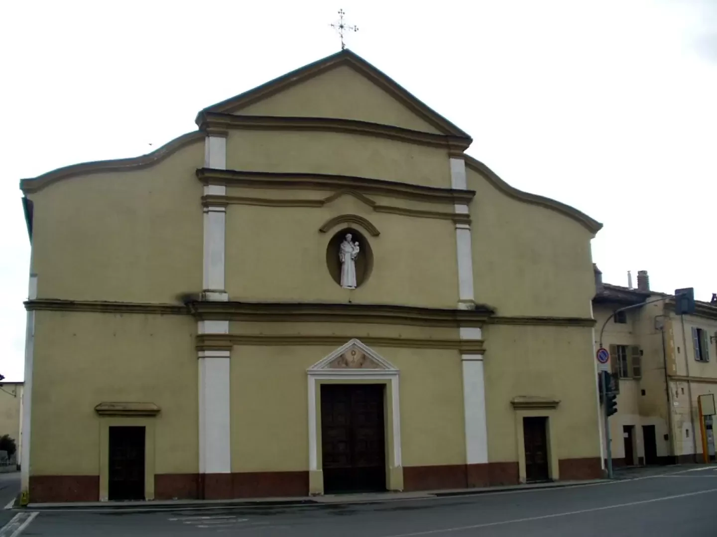
At the motorway exit in Ivrea, take the main road towards Ivrea. After travelling along Via Pavone and all of Via Jervis, turn right into Via Torino. After about 300 metres turn right onto Viadotto 25 Aprile, keep left at the first fork and reach the roundabout on Corso Vercelli. Continue straight on Via Strusiglia and at the next roundabout turn 45 degrees onto Via Cascinette. Once in Cascinette d'Ivrea, continue as far as the traffic lights near the church of Sant'Antonio. Turn left and after about 500 metres turn left again towards the cemetery and Lago di Campagna. After about 300 metres you can park near the "Pian Cit" picnic area.
Introduction
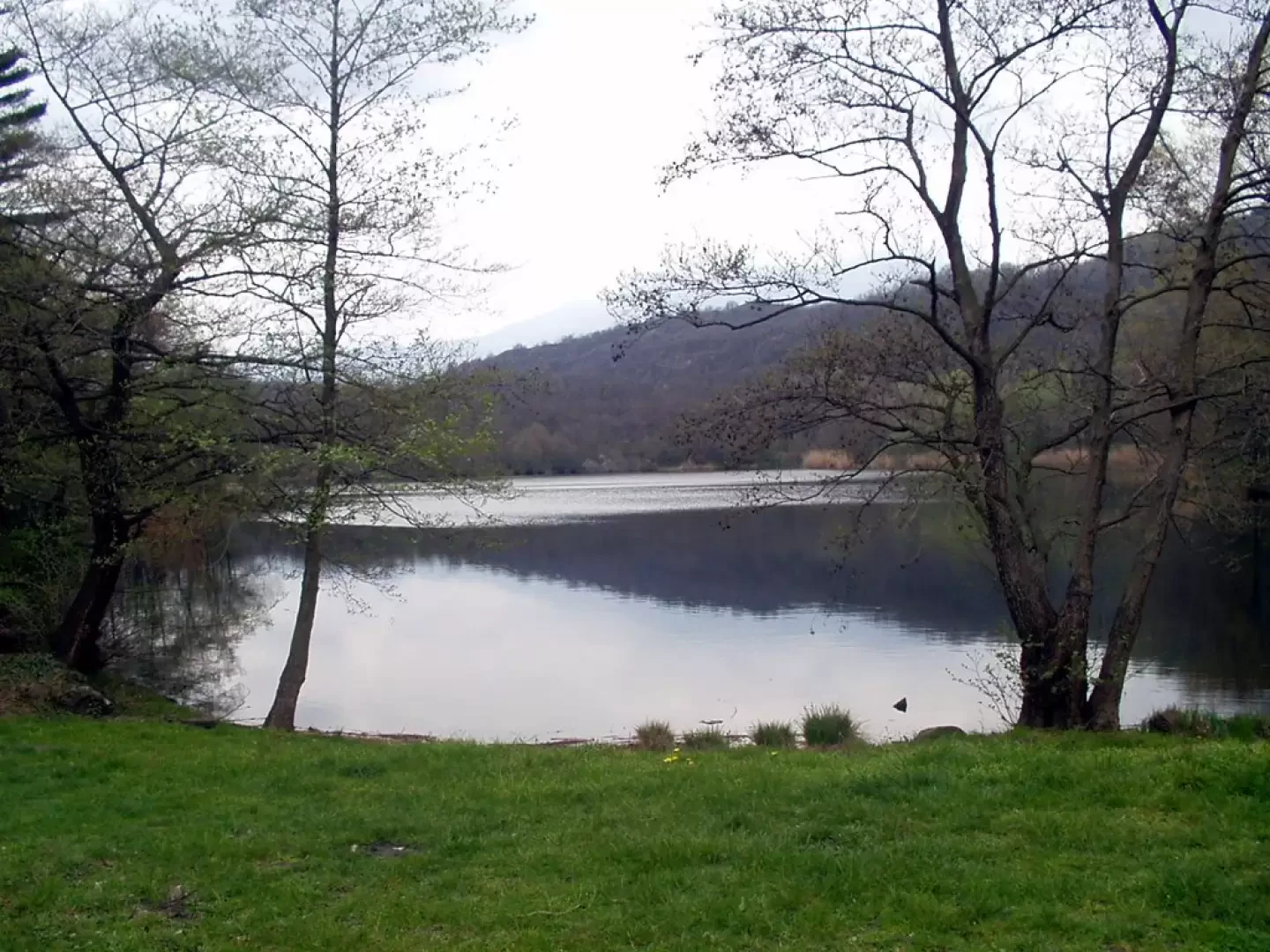
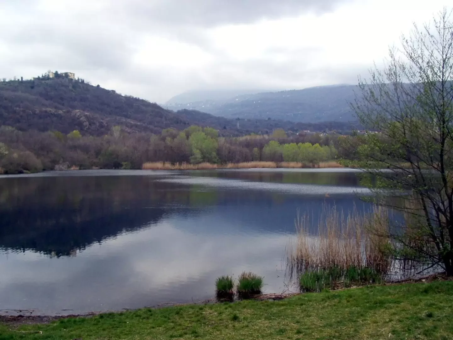
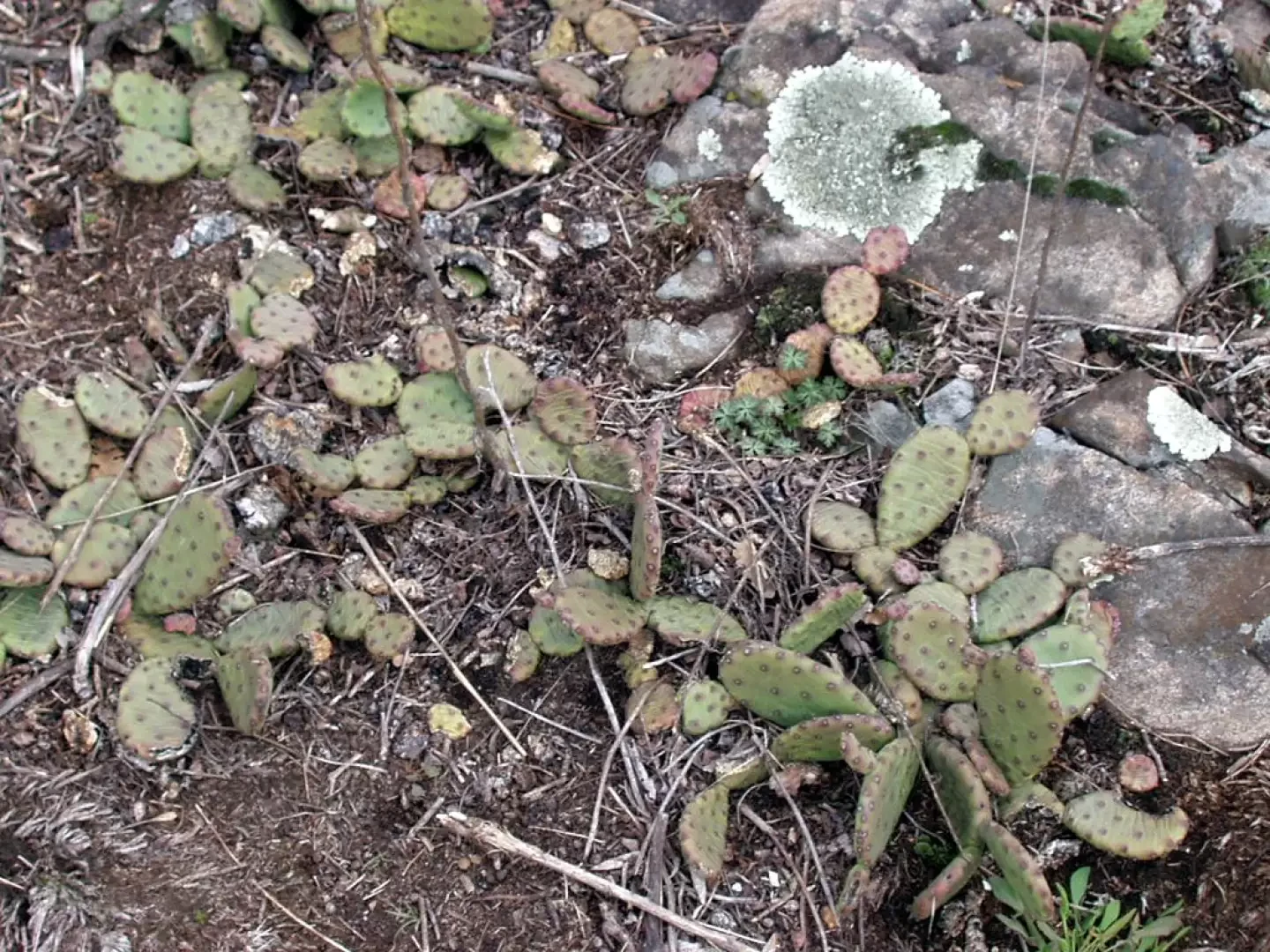
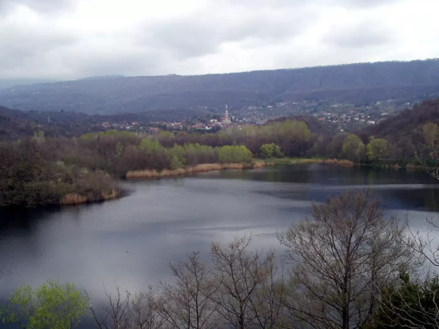
Easy route around Lake Campagna (or Cascinette Lake) in a landscape of glacial origin populated by many species of waterfowl such as great crested grebes (Podiceps cristatus) coots (Fulica atra), mallards (Anas platyrhynchos) and others.
Description
From the Pian Cit car park (238 m), turn right (purple markings) towards the concrete tables and benches of the picnic area and you are immediately on the eastern shores of Lake Campagna. Keep to the left and walk along the southern side of the lake, climbing a little on the modest Mombello hill and descending again to the grassy clearing with picnic area at Pian Gros. Continue westward with a few ups and downs along Monte Capra to the "Fosso di Prafagiolo". A modest climb leads to the fork for Prafagiolo (245m, 0h20'). Now keep to the right on the beautiful mule track and after about 6 minutes' walk, leave it to follow a wide diversions to the right.
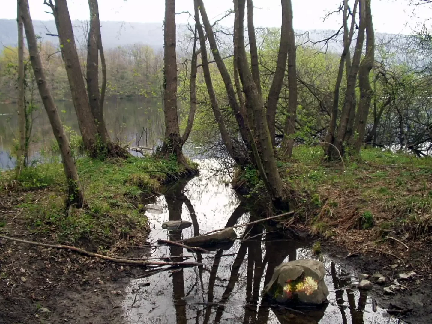
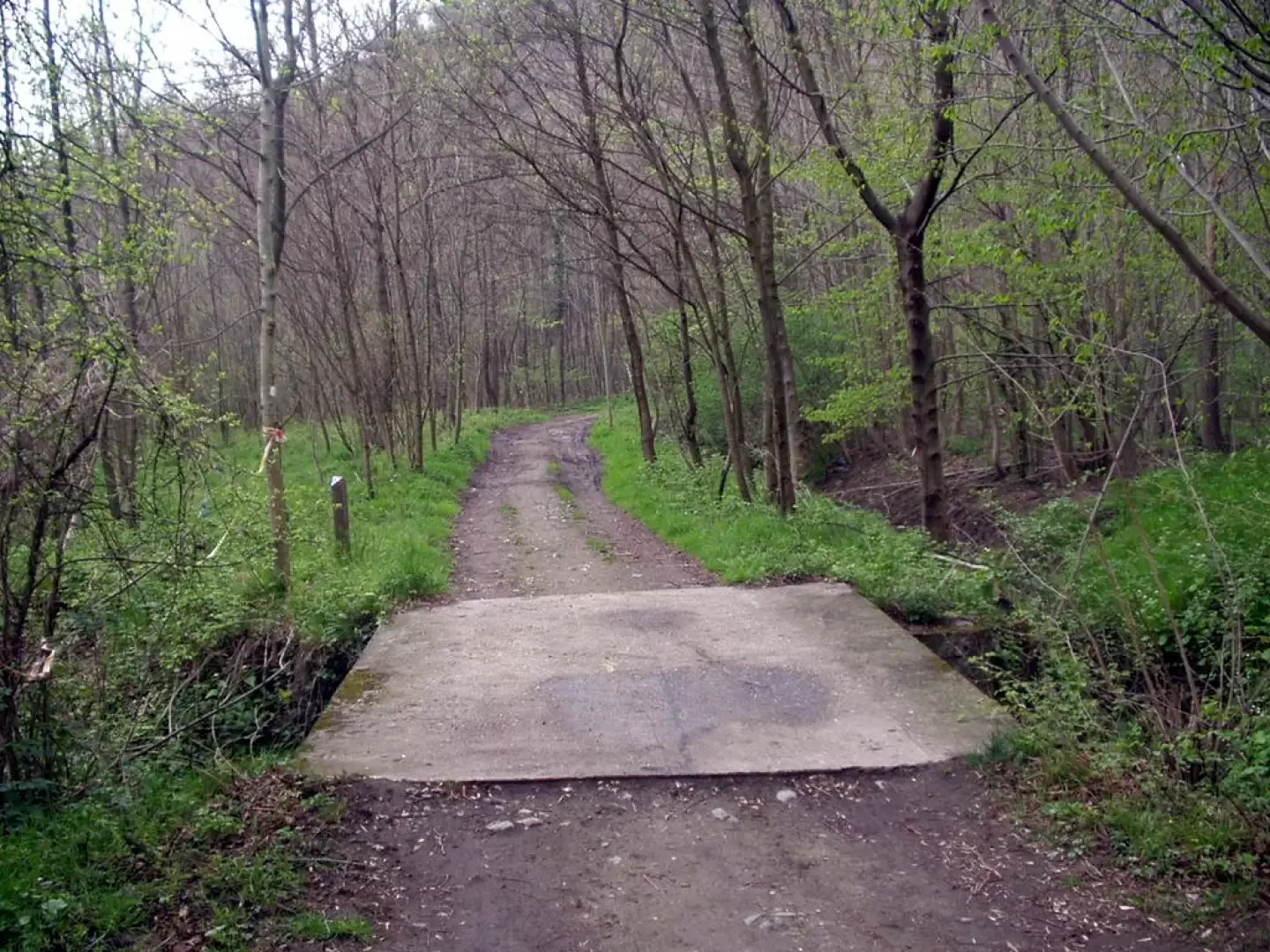
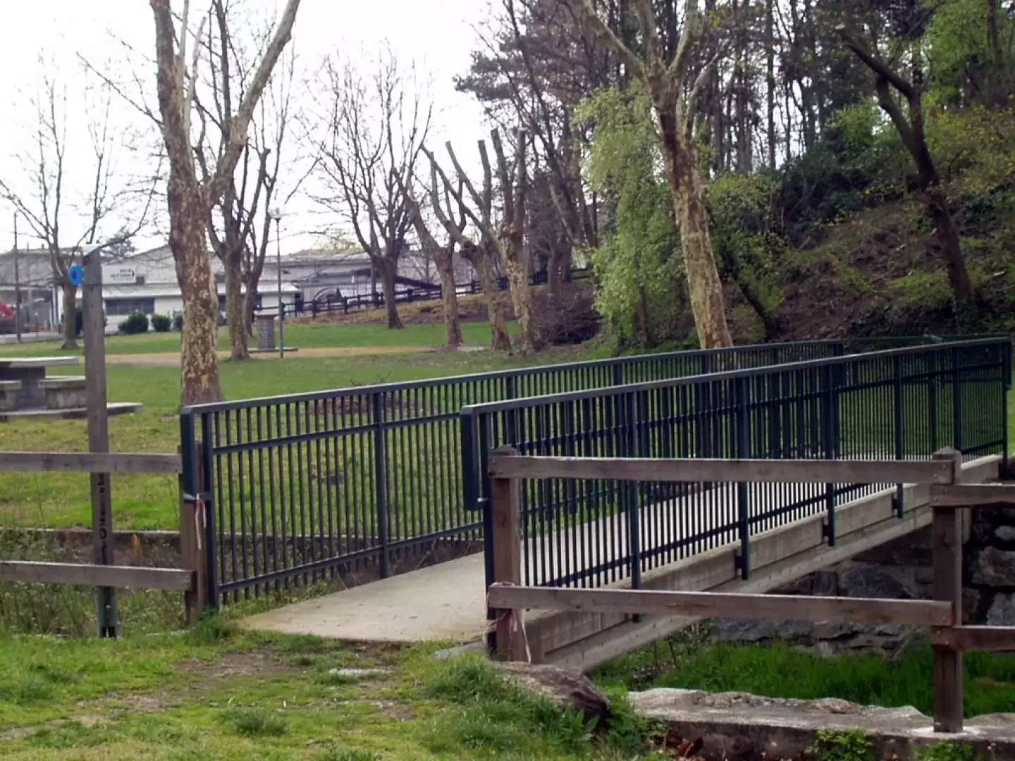
At the lake shore, turn left and enter the woods. After a few minutes leave the road and climb to the right to the Castellazzo viewpoint (257 m, 0h30'). Now retrace your steps to the mule track (purple markings) and turn right. Taking the "Strada di Mombertino" and passing the footbridge over the Rio della Serra, the road crosses the tarmac provincial road to be followed to the right. After a wide bend to the left, reach Pian Cit via the footbridge over Rio dell'Albera and the car park (238 m, 0h55').
General Information
Trail signposting:purple
Type of route: circular
Recommended period: January, February, March, April, May, June, July, August, September, October, November, December
Exposure to sunlight: south
Max height reached:257m
Galleria fotografica