Biassa Ring


Edited by:
Maurizio Loconti
Updated at: 03/09/2024
Access
Biassa is inland from La Spezia at 315 m, easily accessible by car (La Spezia exit of the motorway and then direction Cinque Terre; after crossing the town, go up the carriageway and before a tunnel keep to the right for the village - easy enough to find parking).
Introduction
Beyond the Cinque Terre.
Description
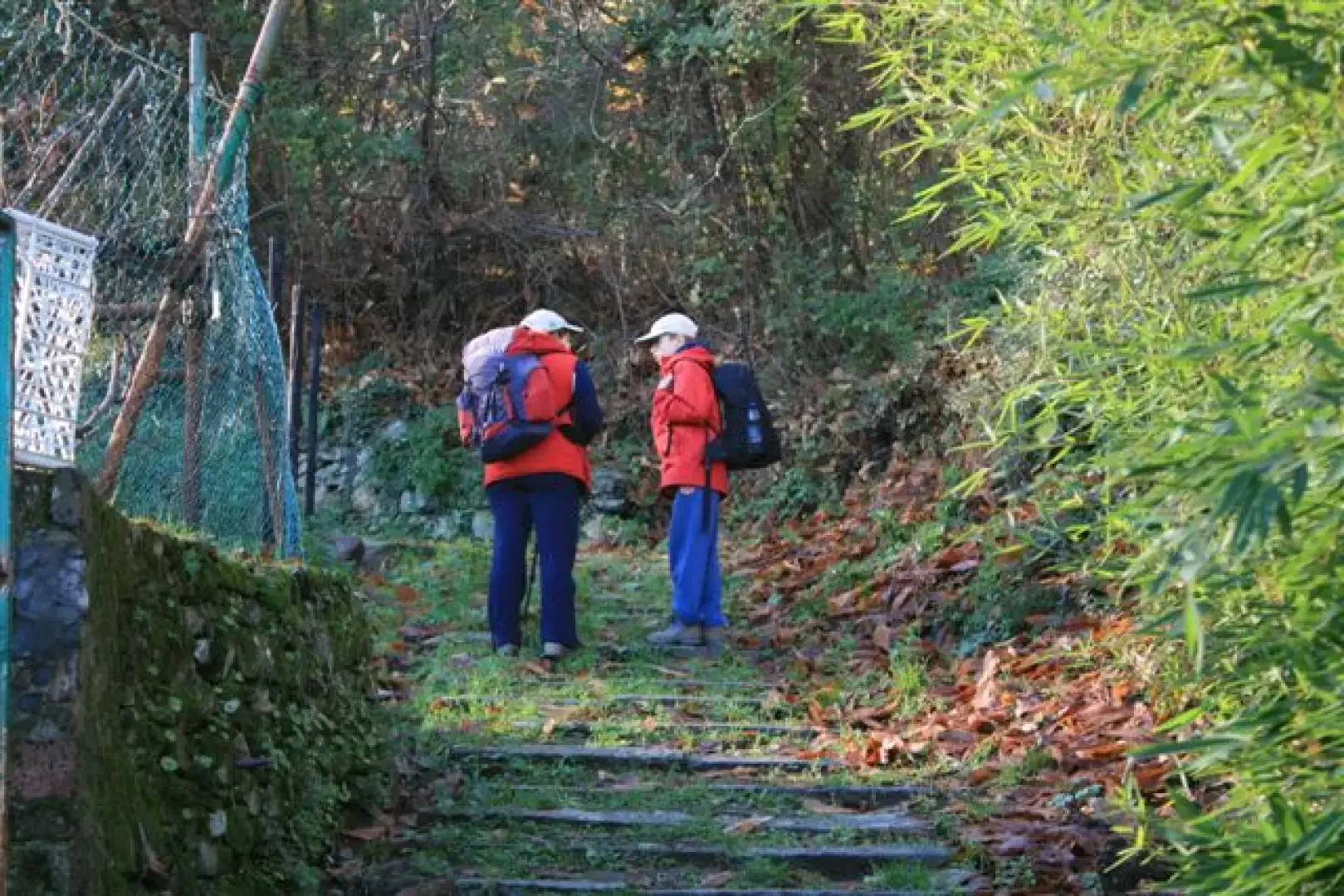
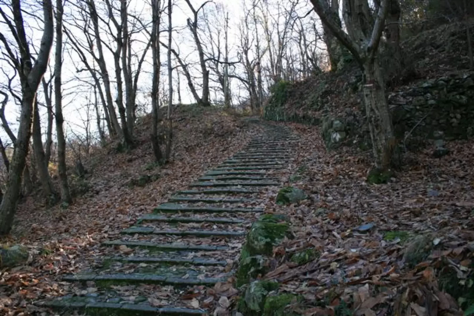
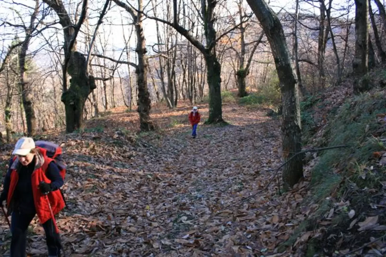
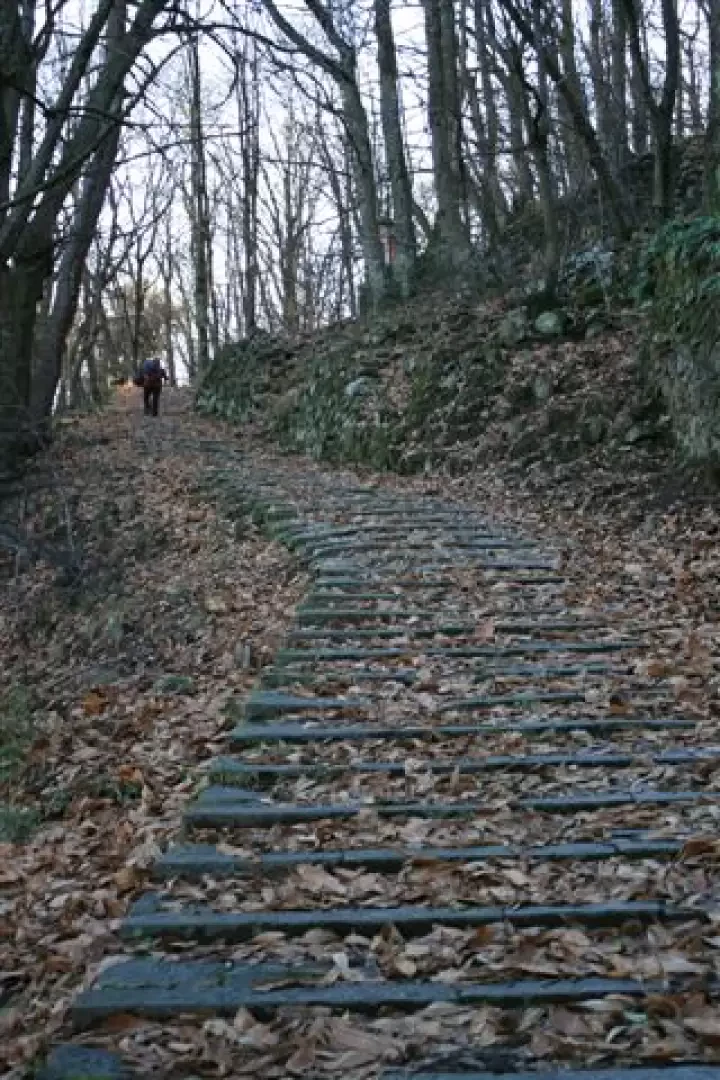
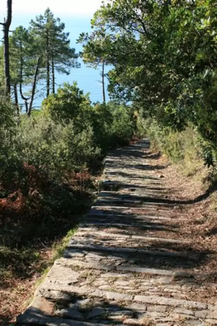
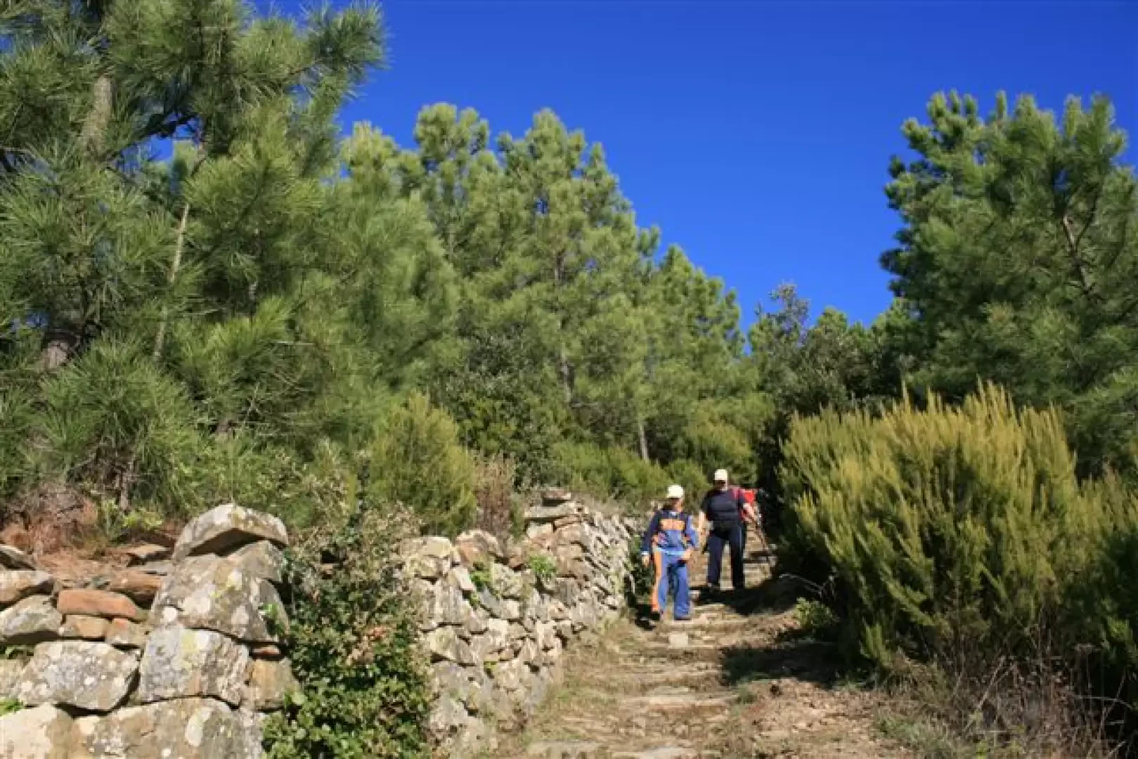
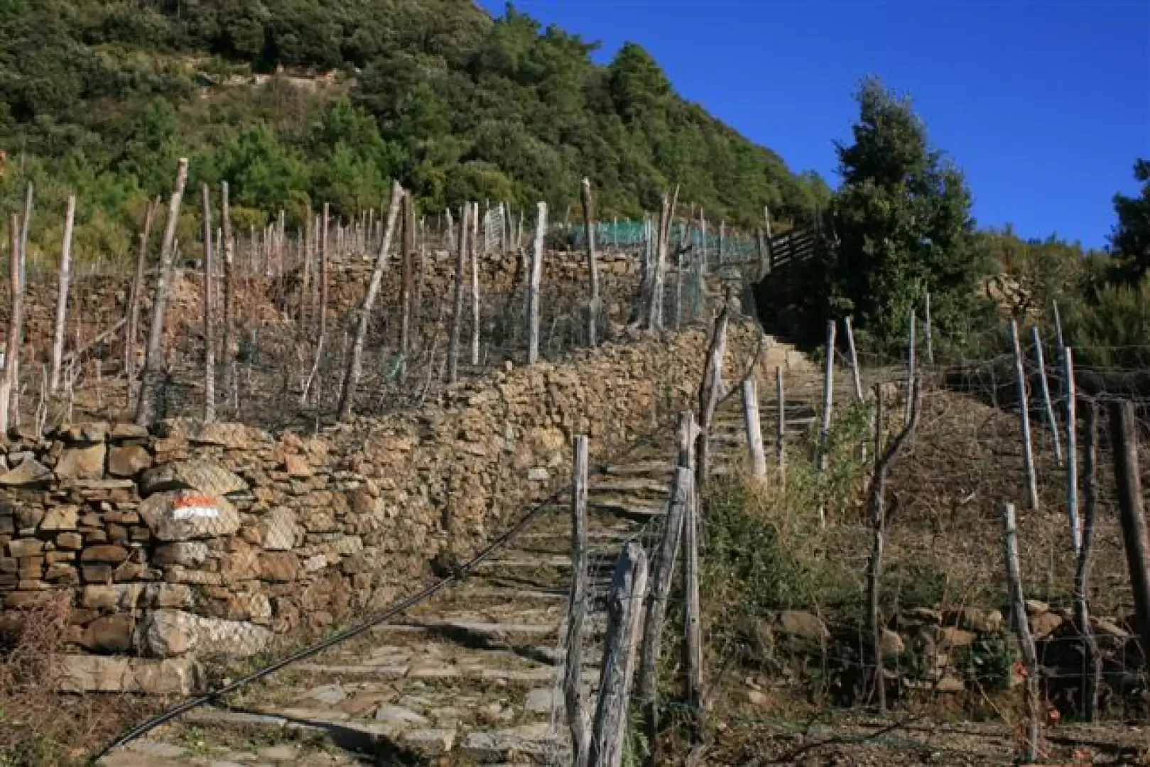
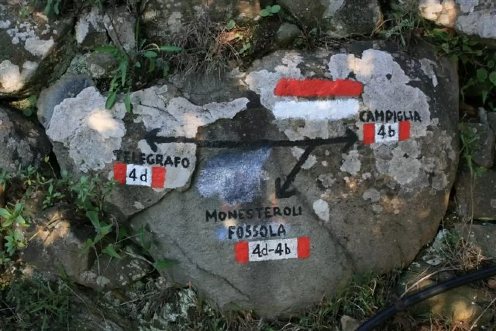
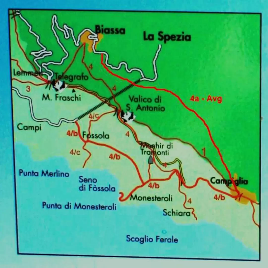
We set off from Via delle Polle with path no. 4, which leads into the chestnut grove. Developing on the northern slope, it is very damp and cold, given the season... The paved steps are very well preserved and accompany us throughout the ascent... We reach the S. Antonio pass at 509 m, where we turn off trail no. 4 (at the crossroads, turn right towards the chestnut grove). Antonio at 509 m where we abandon route 4 (at the fork, turn right towards Riomaggiore for a few dozen metres, then left downhill) and find route 4c which descends with steps
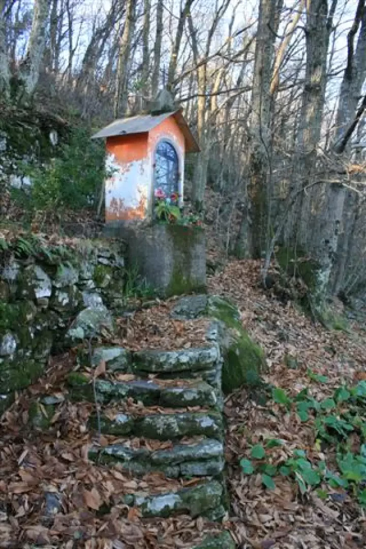
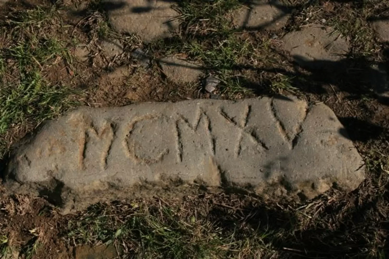
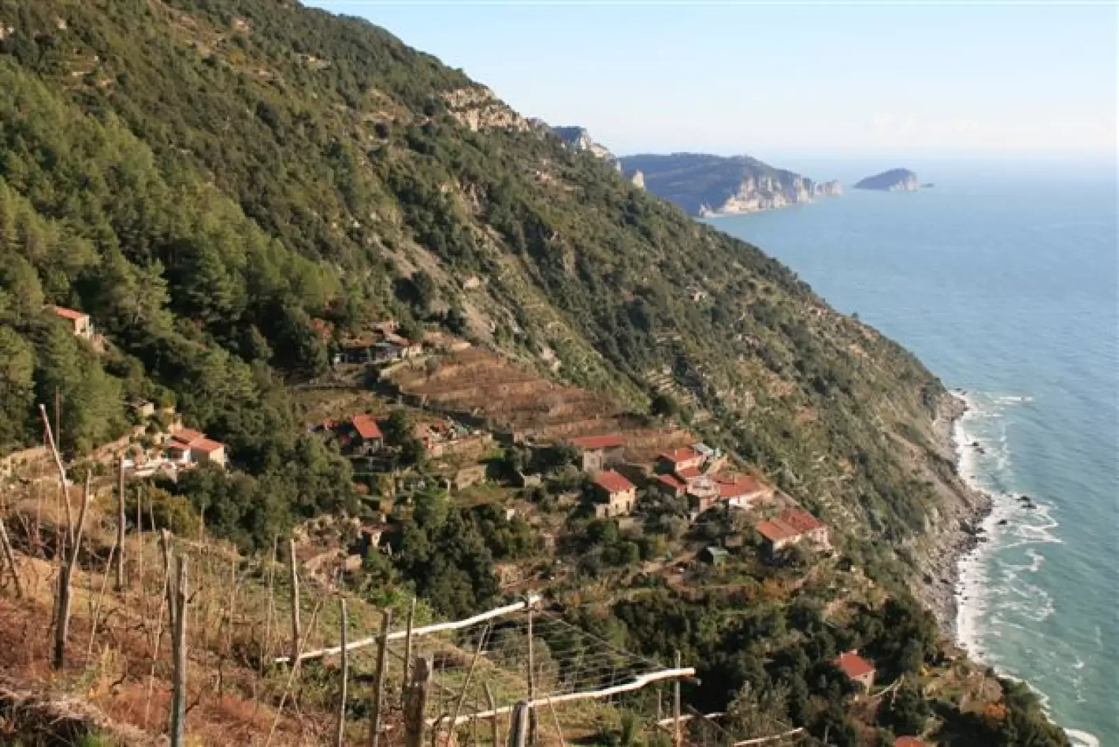
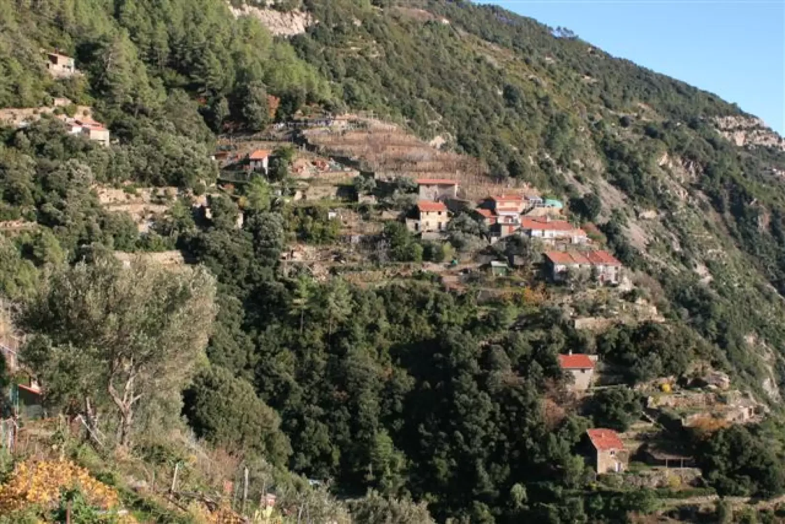
During the descent we notice how the stone masons have engraved the dates... we read a ... 1915... We reach the Church of the Guardian Angels at Fossola (236 m), too bad it is closed!
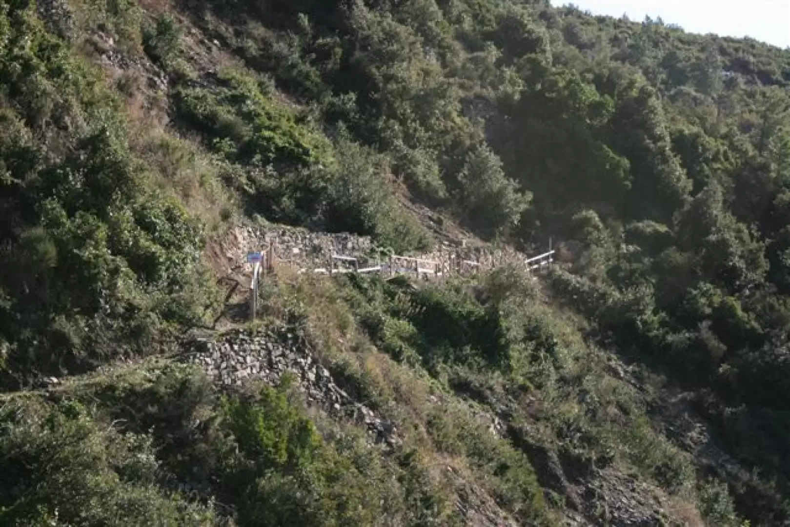
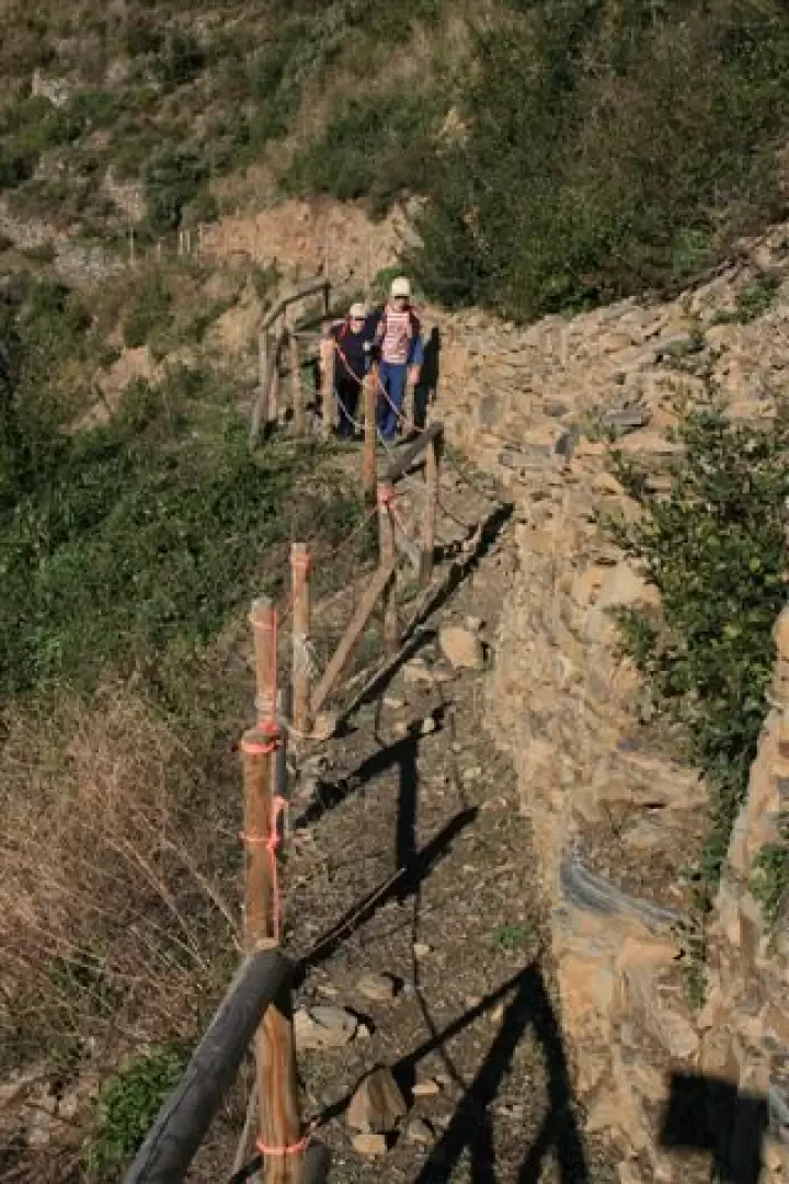
From Fossola you take the 4b It is a path that was unpassable for a few years, now it is partly recovered, but the landslide is still there, so more work will be needed otherwise the path will become unpassable again. The fence is in fact already damaged and a sign from the Park Authority rightly forbids passage in adverse weather conditions...
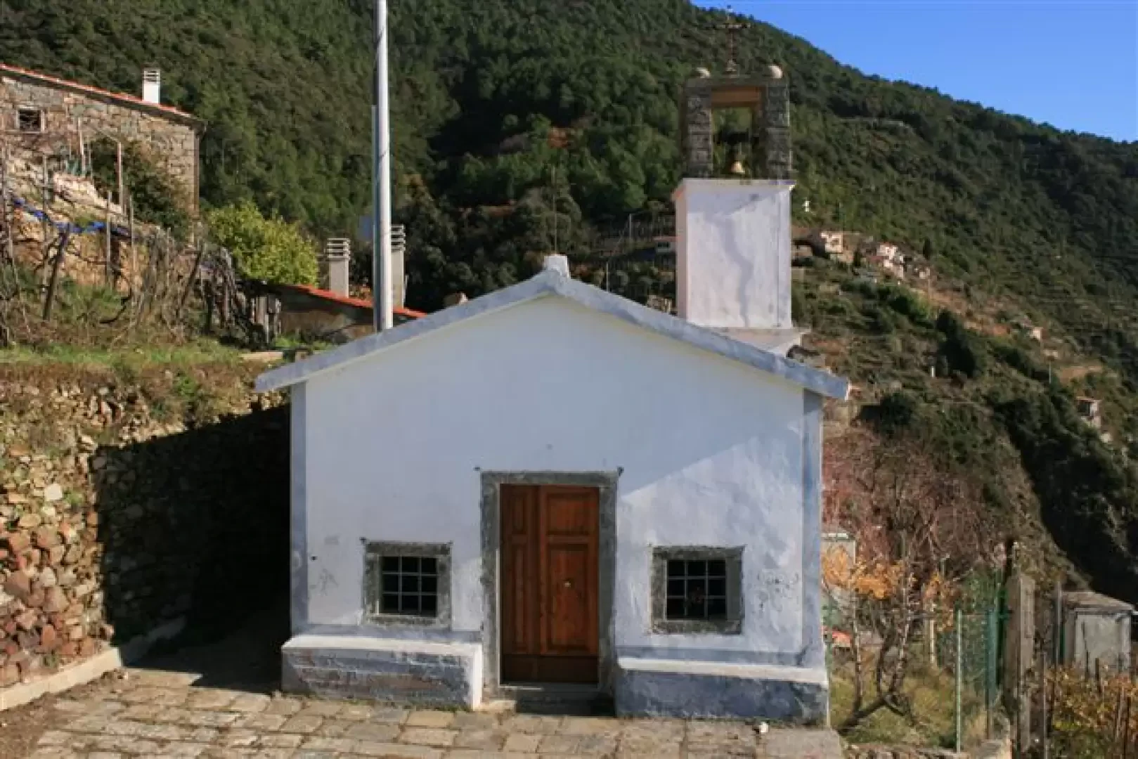
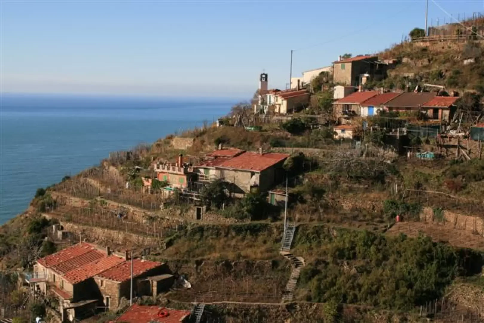
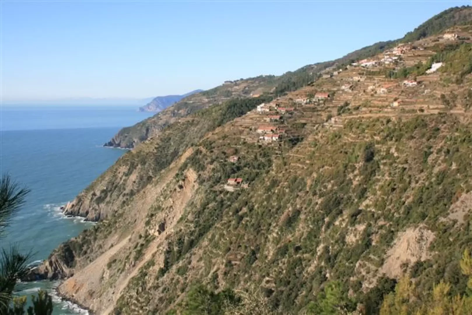
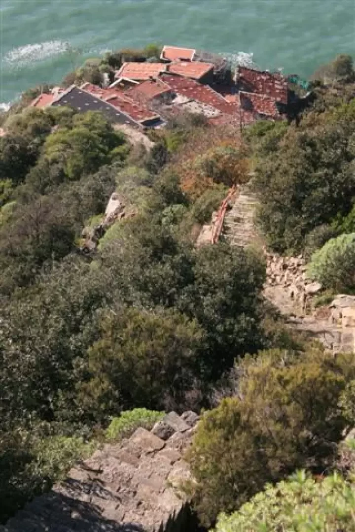
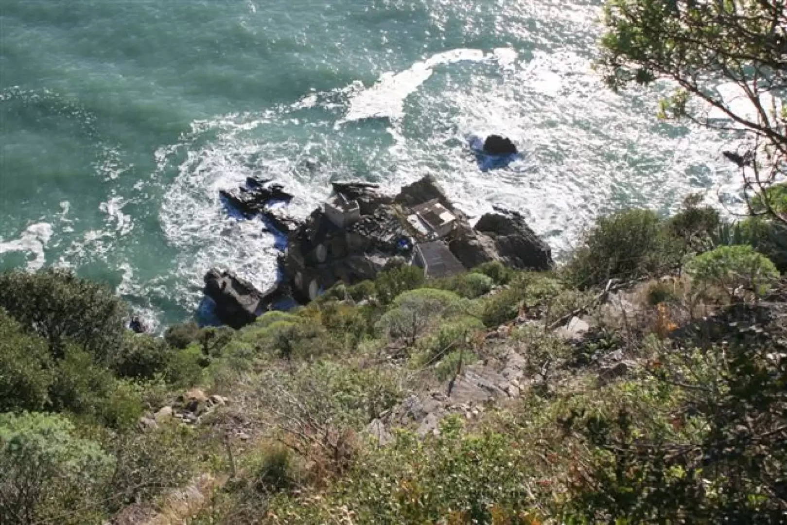
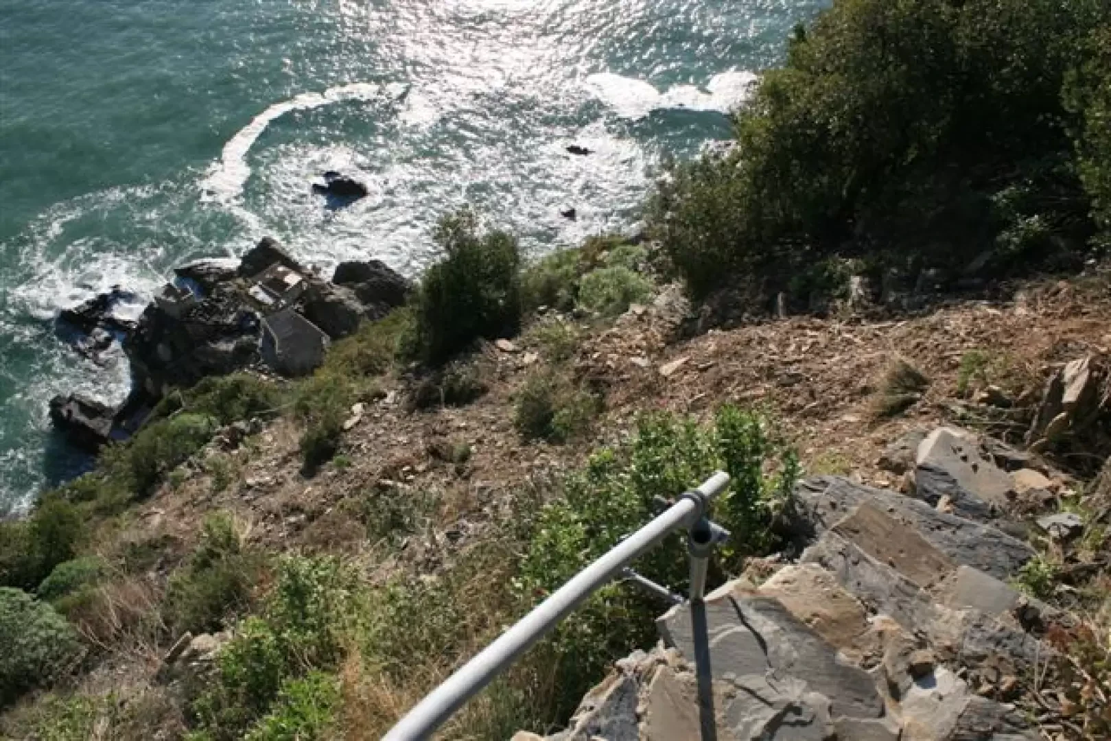
We pass over Monesteroli! Hundreds and hundreds of steps to the sea! The view is beautiful on the coast of Fossola (devastated by landslides) up to Punta Mesco and Portofino and you can see the snow on the Ligurian Alps; on the other side you can see the Tino Island and the coast of Portovenere. There is the Church of St. Anthony of Padua in Schiara, which is also closed, but you can take a photo from a grate. The descent is steep and the cove is at the bottom of the steps ... not reachable, safely, given the umpteenth landslide ...
You can also see the Ferale rock, named after an officer who perished during a survey in 1911.
Campiglia (400 m) is reached, then, retracing your steps to the asphalt road and taking the 4b again, to see the Church of S. Caterina.
Then you return back to the north side at Biassa (4a and AVG), passing two saddles (from the second 'Gerisola' 496 m, you lose height with somewhat slippery stone steps)
Path development: Biassa - Valico S. Antonio (no. 4 - 40 minutes) / Valico S. Antonio - Fossola (no. 4c - 30 minutes) / Fossola - bivio Monesteroli (no. 4 b - 45 minutes) / bivio Monesteroli - bivio per Schiara (no. 4b - 30 minutes) / bivio per Schiara - Campiglia (no. 4b - 30 minutes) / Campiglia - Biassa (no. 4a or Avg - 75 minutes).
Total difference in height with the various ups and downs of about 450 metres, for a distance of about 4h - 4h30m.
Eventual branches to Schiara or Monesteroli mean, for each, another 300 metres of difference in height and almost 2h more for individual detours.
Photos at the link
http://www.cralgalliera.altervista.org/altre08.htm
Direct link
http://www.cralgalliera.altervista.org/biassa08.pdf
Note
We recommend that you check the fitness of the paths involved in this route. For more information: www.parconazionale5terre.it/sentieri-outdoor.php
General information
Signposts: 4, 4c, 4b, 4a
Type of route:circular
Recommended period: from the end of October to the end of March, avoiding the coldest days
Sun exposure: south
Objective hazard: do not ride after rainy days
Exposed sections: some sections, partly protected
Galleria fotografica