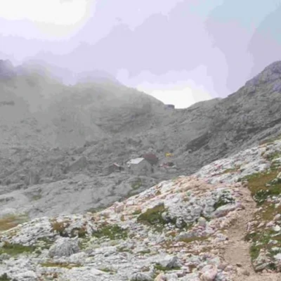
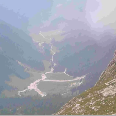
Rifugio Volpi di Misurata at Mulaz, from Passo Valles
Description
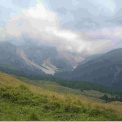
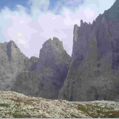
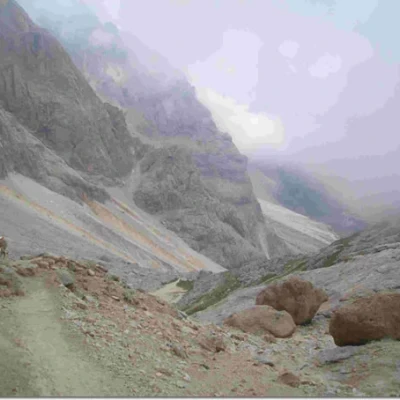
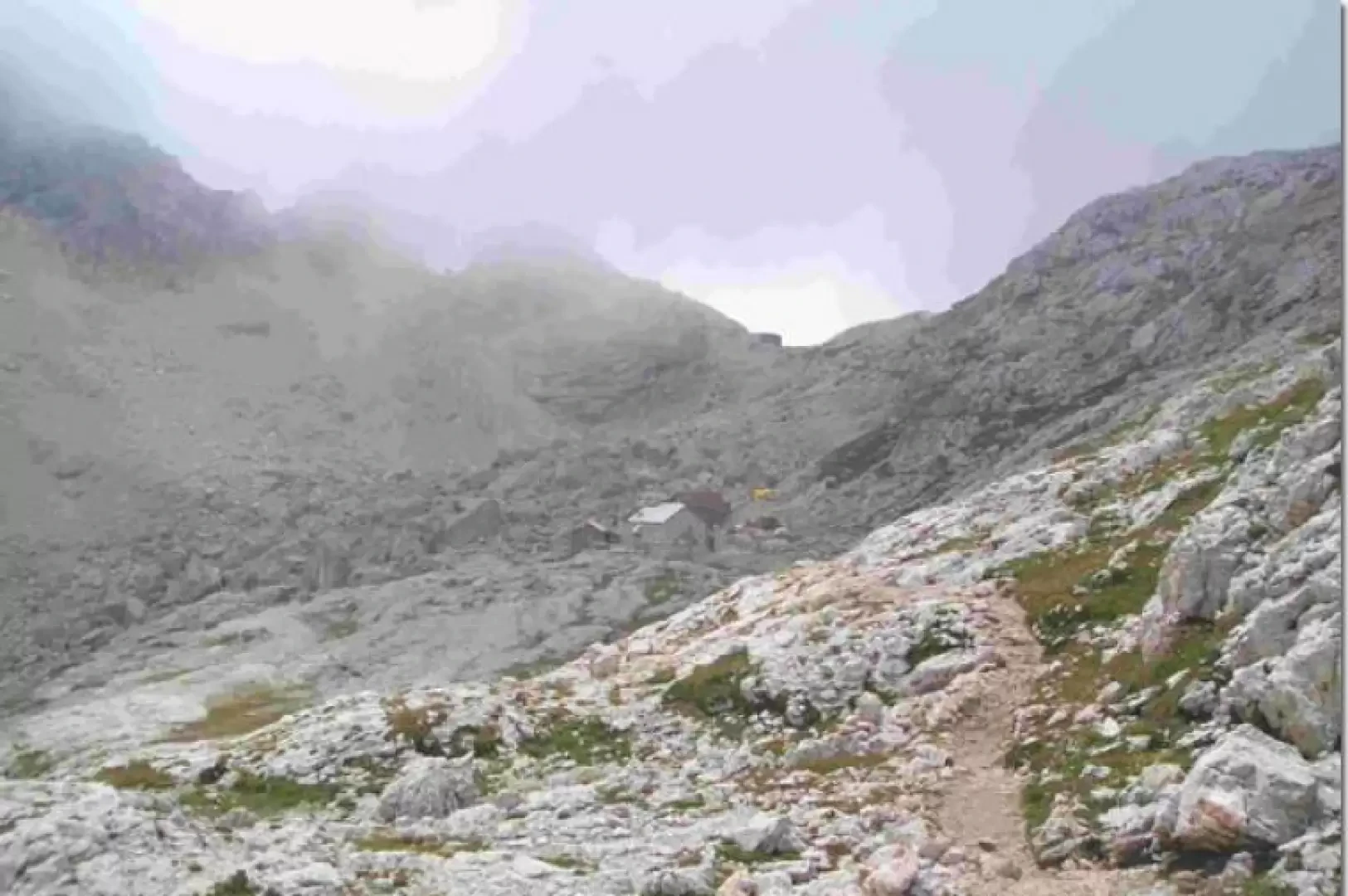
Have arrived at Passo Valles (2030m), leave your car in the car park on the right and take the path, again on the right, which begins to climb rapidly on a narrow but well-marked track (signpost ). After about 30 minutes, you come to a grassy fork (Forcella di Venegia) at an altitude of 2220m, from where there is an excellent view over the Venegia valley. From this point, proceed with slight ups and downs for about 60 minutes on a sloping path to the Venegiota Pass (2303m). The path begins to climb rapidly for 15 minutes (2400m) with a slightly exposed passage equipped with a fixed rope. Then it quickly begins to lose altitude again in a long, steep scree slope that takes us 45 minutes to the base of the last climb (2250m) to the hut. The path now becomes very steep and, in places, poorly marked with several passages equipped with a fixed rope to aid the ascent of blocks of rock (without exposure). In about 60 minutes we reach the pass above the Mulaz refuge of the CAI section of Venice (2560m).
It is possible to return along the same path or it is possible to take the signpost which, via a steep but well-marked path, takes us to Val Venegia (90 minutes), at an altitude of 1830m, above the Venegiota hut. Before arriving at the cart track, a well-marked path starts on the right (marker ) which takes us back to Forcella di Venegia in about 75 minutes through woods and meadows. In 15 minutes we then return to Passo Valles.
.