Malga Zanoni Refuge, short Scaletta loop
Access
The journey by car: exit the A12 at Lavagna and drive to Carasco (possibility of filling up with petrol at a discounted price at the petrol station of a hypermarket! with a discount card at 1.615 - June 2018; -5/12 cents depending on the case). Then, you climb up to Borzonasca, where you turn right at the beginning of the village for Prato Sopralacroce, on a somewhat narrow road! Continue for a few kilometres, passing Zanoni, Vallepiana and Belvedere. Continue to Baracchetta dei Ghiffi, just before the pass of the same name (1090 m). Park in a clearing on the right (approx. 31 km from the exit).
.Introduction
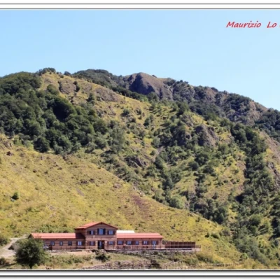
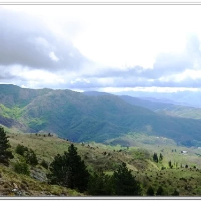
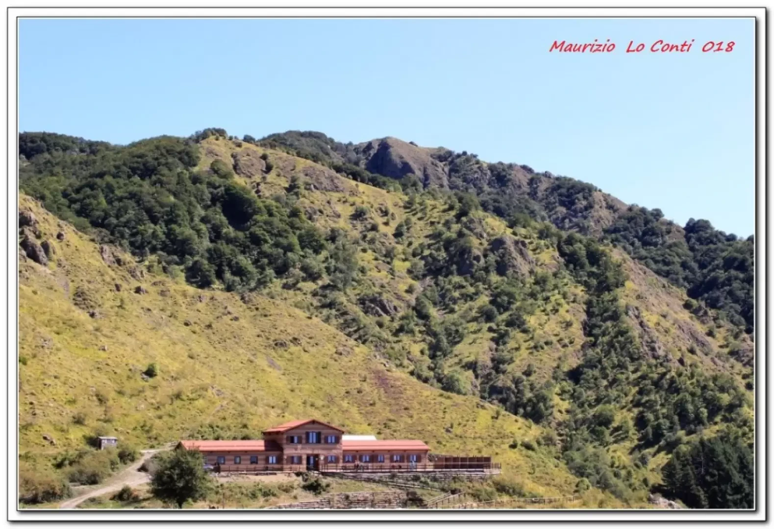
Malga Zanoni is located in a magnificent spot, almost overlooking the Gulf of Tigullio, with a view as far as the sea. The hut, a brand new construction, has this name because the park authority built it on the site of a mountain hut in the 1960s...
Description
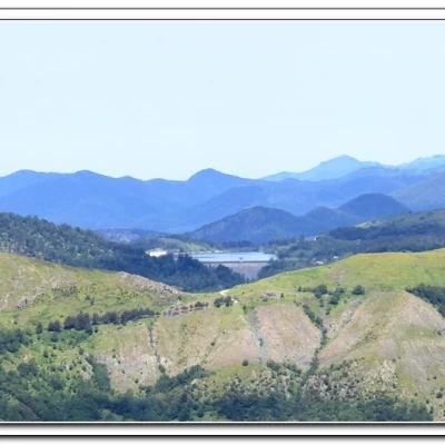
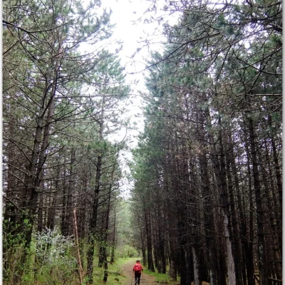
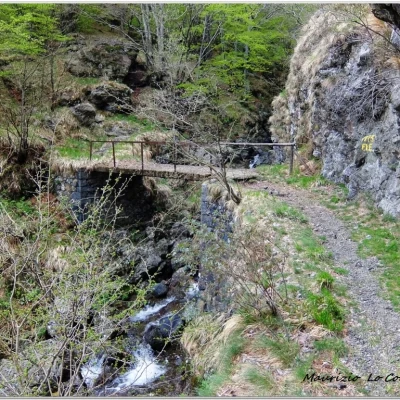
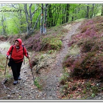
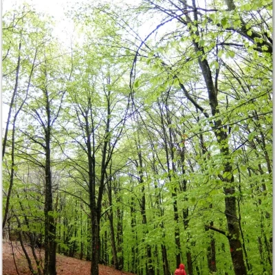
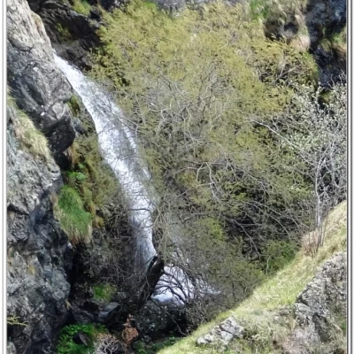
On the opposite side of the clearing, there is a battered wooden structure and the path climbs again, after glimpsing Lake Giacopiane, to a grassy saddle at 1167 metres (0h15'). Here the AV is crossed and the path almost flattens out to the left, noting the entire Taro valley below on the right and the Gottero in the distance. In front, Mount Penna is clearly visible. One passes a pasture gate and a fountain. We skirt a fence and cross a fork in the road (25'), where we ignore a diversion to the right, marked with Cai symbols towards Santa Maria del Taro. You then enter a pine forest and arrive, with a short ascent, at the Scaletta pass 1262 m (15'). Here you leave the AV, after a couple of km, and turn downhill into a wild gorge. Cross a stream (Berone bridge 1240 m) and climb up the opposite slope. You reach an important fork (30'), the highest point of the day at 1325 m. To the right, one would continue climbing towards Pratomollo, but instead, one turns left and enters a beech forest. One descends, paying close attention to the symbols in the dense forest. When the descent becomes less steep, you cross a footbridge over a stream and tackle a steep rocky gorge with the path alternating between a handrail and a chain (pay due attention! you are briefly running in a section that is not very narrow, but a little exposed!). You cross a track that slopes down from the right and the structure is now just below. You thus arrive at Malga Zanoni (1077 m - 45' tot.and. 2h10).
After the break, you face the return: behind the building, go to the right on the level, but then neglect the track (further on interrupted) to descend to the right. You pass two fords in sequence with due caution... and a few ups and downs, minimal but not trivial. You find a horizontal track, but then abandon it and turn right. You pass an old abandoned quarry, the ruins of a former oil mill and the Vallepiana malga (cattle farm), arriving on the provincial road. Here we climb back up to the car (1h15). The last 15 minutes on asphalt are a bit tiring (and tedious) (about 100 m) to get the car back.
All in all: difference in altitude + 400 m Dif. E about 3h15/3h30 Total + all the breaks to see the various places you come across
Photo file pdf:
http://cralgalliera.altervista.org/GitaMalgaZanoni018.pdf
http://cralgalliera.altervista.org/MalgaZanoniSop018.pdf
Other trips 2018:
http://cralgalliera.altervista.org/altre2018.htm
http://cralgalliera.altervista.org/anno2018.htm
Previous outing in the area:
http://cralgalliera.altervista.org/MalgaZanoni017.pdf
individual photos at 16 a row http://www.cralgalliera.altervista.org/altre2017.htm
NB: in case of an outing, always check with FIE, Cai, any park authority or other institutions, pro loco, etc., that there have been no changes that have increased the difficulties! No liability is accepted. This text is purely indicative and not exhaustive.
Info Hiking Section Cral Galliera: http://www.cralgalliera.altervista.org/esc.htm
trips 2018 at the link: http://www.cralgalliera.altervista.org/gite2018.pdf
General information
Tour:short loop of the Scaletta
Signpost:
Type of route:circular
Recommended period: April, May, June, September, October
Sun exposure:West
Objective danger:none
Exposed sections:none
Useful equipment:normal daily hiking equipment
Foto file pdf:
http://cralgalliera.altervista.org/GitaMalgaZanoni018.pdf
http://cralgalliera.altervista.org/MalgaZanoniSop018.pdf
Altre gite 2018:
http://cralgalliera.altervista.org/altre2018.htm
http://cralgalliera.altervista.org/anno2018.htm
Precedente visita in zona:
http://cralgalliera.altervista.org/MalgaZanoni017.pdf
foto singole alla 16 a riga http://www.cralgalliera.altervista.org/altre2017.htm
NB: in caso di gita, verificare, sempre, con FIE, Cai, eventuale Ente parco o altre Istituzioni, pro loco, ecc., che non ci siano state variazioni che abbiano aumentato le difficoltà! Si declina ogni responsabilità. Il presente testo ha solo carattere puramente indicativo e non esaustivo.
Info Sezione Escursionismo Cral Galliera: http://www.cralgalliera.altervista.org/esc.htm
gite 2018 al link: http://www.cralgalliera.altervista.org/gite2018.pdf
Tipologia percorso: circolare
Periodo consigliato: aprile, maggio, giugno, settembre, ottobre
Esposizione al sole: ovest
Pericolo Oggettivo: nessuno
Tratti esposti: nessuno
Attrezzatura utile: normale attrezzatura per escursionismo giornaliero
