Giannetti Refuge, Bagni del Màsino
Introduction
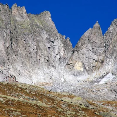
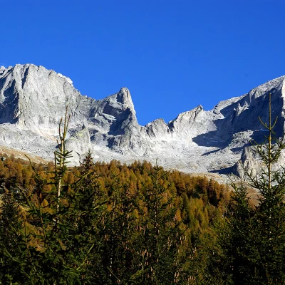
A more than traditional route, which introduces you to the high mountains in the granite valleys: from here, you can take endless mountaineering routes up well-known peaks, including Pizzo Badile and Pizzo Cengalo. The route, on the other hand, is less well known: it is not the shortest, but it joins old alpine pastures on recently cleared and well-marked tracks. The last section of the route, on the other hand, climbs freely in search of the signs of the famous 'Sentiero Roma' trek, which leads us to the Refuge.
Description
From the Bagni del Màsino - a hotel with spa facilities and a public spring with water at a temperature of 38° - we head towards the flat valley floor in the direction of the refuges. We choose the path indicated by the signpost for the Omio Refuge, which climbs steeply and stony in a forest of fir and beech trees; we follow the abundant signs to the clearing with ruined huts at Piano del Fango about 1600 m.
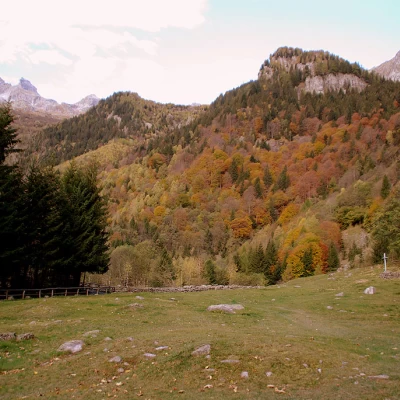
Just to the right of the last well-hidden building, the track begins (signposted "Sentiero Life") that enters the forest: past the spur descending from Monte Boris, the trail leaves the Oro Valley slope (Rifugio Omio) to enter Val Porcellizzo (Rifugio Gianetti). In this stretch of dense fir forest, the white/red signs are indispensable to disentangle the boulders of a palaeo-landslide covered with moss and humus accumulated over decades to hide the trail. Suddenly, the vegetation changes near a damp gully, which we cross downhill, in view of the Casera Sceroia 1498m, which we do not reach; instead, we climb up the other slope, for a long time on partially open ground (pasture and larch trees), to the Baite Sceroia 1961m.
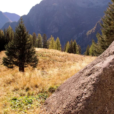
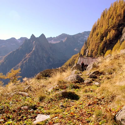
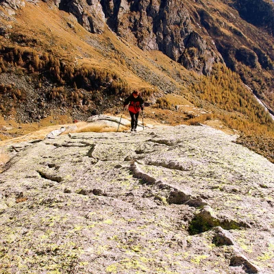
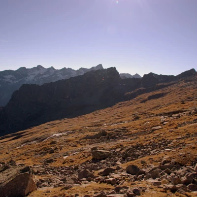
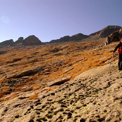
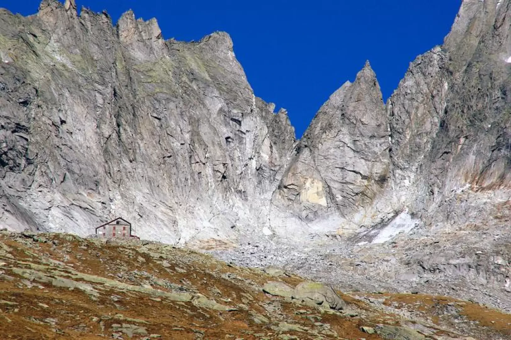
At this point, we head on sight as far as a long stable with a recently renovated service hut: here we leave the "Life path" signs to the right, which return to the valley by another route. Instead, we take the north-west direction without a trail, among clumps of grass, scree, temporary drainage valleys and piode (in Val Màsino, pioda means a vast granite slab of varying inclination, often at the limits of walkability). One must ascend -altimeter- to an altitude of about 2400-2500m where one will encounter the evident traces and markings of the Sentiero Roma: they must be followed to the right with moderate ups and downs amidst the granite blocks to the visible Rifugio Gianetti 2534m. The return journey is along the traditional access route to the Refuge.
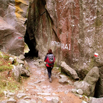
Up to the Casera Zoccone 1895m you descend steeply on stony tracks and real granite paths (rainstones that the passage has cleared of the grassy layer); from the casera floor, the mule track descends steadily down the left side of the valley in the direction of Corte Vecchia. Before reaching this last alpine pasture, the path narrows to pass through the natural tunnel known as 'Termopili'. From Corte Vecchia, the trail descends in narrow bends through dense woodland, passes a beautiful waterfall and in less than half an hour returns to the initial junction of the hut trails.
