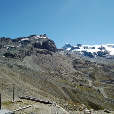
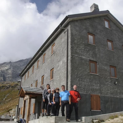
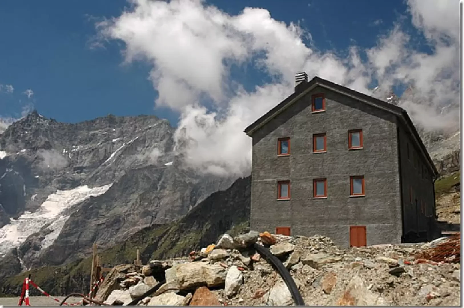
Duca degli Abruzzi Refuge, from Breuil-Cervinia
Access
From the motorway exit at Châtillon, turn left along Via E. Chanoux. Go past the roundabout, third exit, and continue through the old town centre for about 600m and then turn right into Via Menabrea, which you should follow until you reach the roundabout with the "Cervino" on the inside. Follow the regional road for 26.1km to Breuil-Cervinia where, at the roundabout before entering the town, take the second exit and follow the ring road for about 700m. Turn right and then, in front of the Hotel Punta Maquignaz, turn left. After about a hundred metres you will reach the large free car park 🅿️ at Piazzale Planet.
[0h41'] - [28,4km]
How to get there with GMaps
How to get there with Apple Maps
How to get there with Moovit
The information provided here has been verified on the date of the survey of the route. Before setting off, it is advisable to ensure that no substantial changes have occurred on the route to the starting point. We therefore recommend the use of the satellite navigation apps provided by Google or Apple for up-to-date and detailed directions.
Introduction
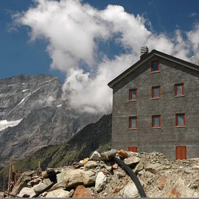
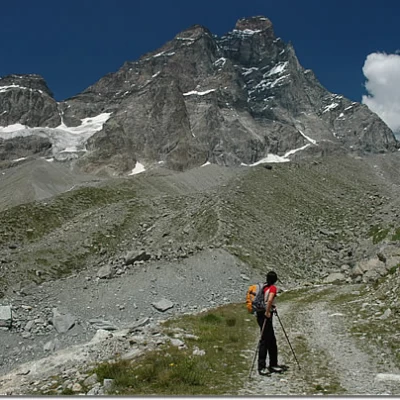
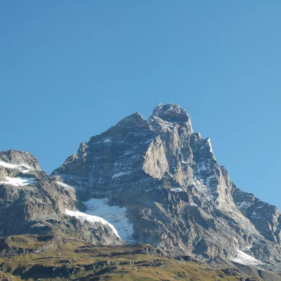
Classic excursion in the Valtournenche: thanks to an absolutely simple itinerary, you can reach the hut by walking entirely along a farm road, reaching the starting point of the Italian route to the Matterhorn. Once at the hut, the Gran Becca stands out in all its splendour.
On reaching the hut, it is impossible not to take the path up to the Croce Carrel: this is the first section of the Italian normal route to the Matterhorn!
Description
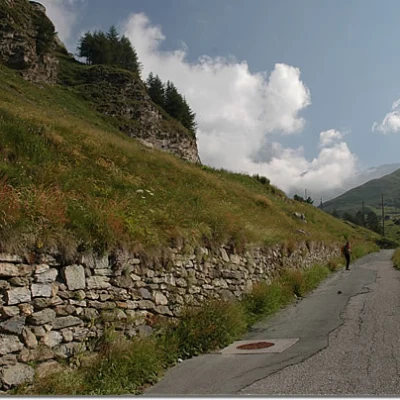
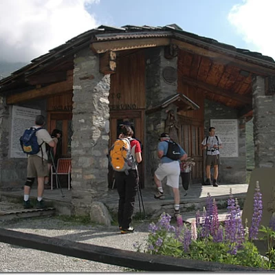
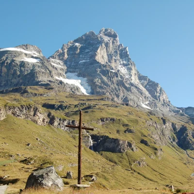
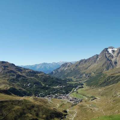
Leaving the car behind, we head towards the start of the itinerary, following the road that starts in front of the Hotel Europa and soon leads us to the level of some tennis courts: in front of them a small tarmac road starts to climb the slope, leaving behind the last buildings of Cervinia. At the first hairpin bend, take a little path that cuts a short stretch of road until you reach the Les Clochards restaurant. From here, continue along the little road that takes a couple of hairpin bends and reaches the Monte Cervino Ski Battalion chapel and a high cross commemorating a mass officiated by John Paul II. Shortly after the chapel, cross a small stream and begin to take a series of short short cuts that cut across the dirt road a few times until you reach markers
and
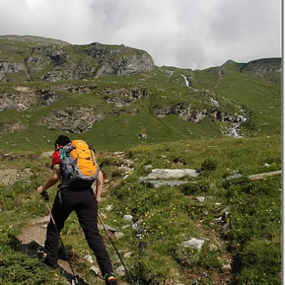
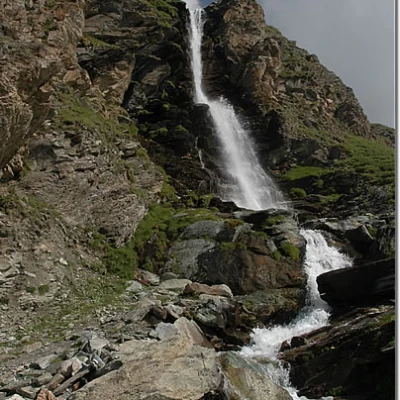
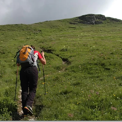
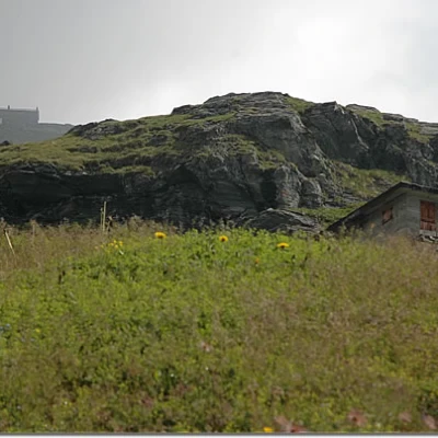
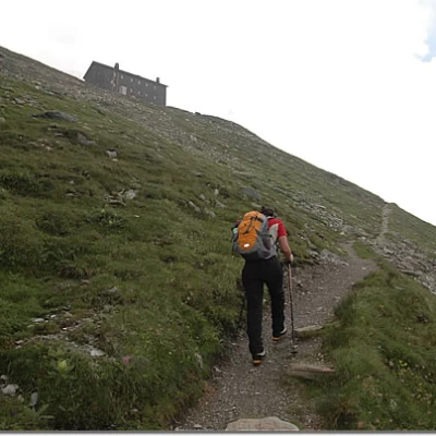
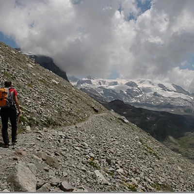
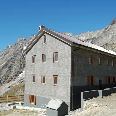
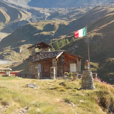
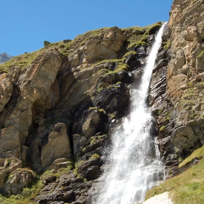
painted on a stone: from here, a path branches off that climbs up the ridge in a long diagonal line until it reaches the road again at the foot of an abandoned mountain pasture. Here, take the little road again that takes us right to the foot of a beautiful little waterfall generated by the waters of the Porteiller torrent (2350m, 0h55'). We continue for a short distance along the little road, taking a couple of hairpin bends, until we meet the path again, on the right. Take it and climb up a steep, grassy ridge that soon leads to the alp Mont de l'Eura (2546m, 1h20'). At the alpine pasture, go back onto the little road for a few tens of metres and then turn right again and continue along the path; from here to the hut, the path crosses the road a few more times until it reaches a marker indicating the former Alta Via 3: here, turn right and walk along a diagonal until reaching the Duca degli Abruzzi hut (2802m, 2h15').
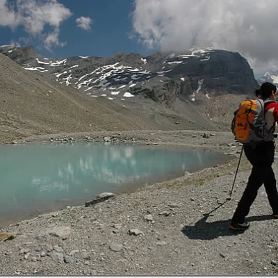
The descent can be made via the same itinerary as the ascent (1h30'), but we recommend a beautiful loop itinerary, continuing from the hut in the direction of Plan Maison and walking through the moraine environment at the foot of the imposing south face of the Matterhorn. After skirting a white glacial water lake, proceed along the moraines with a series of ups and downs until you reach the ski lifts departing from Djomein: from here you can either take the cable car to Plan Maison and descend, or descend a dirt track that slowly enters the torrent du Mont Cervin valley and, about 2h00' from the hut, takes you back to the Les Clochards restaurant, and from here, briefly retracing the outward route, to the car park.
