Dorigoni Refuge

Edited by:
Maurizio Loconti
Updated at: 04/05/2025
Access
We climb back up the Rabbi Valley to the car parks.
Introduction
In summer, a couple of times a week, the park bus arrives at the Samocleva malga. The special feature of the trip is to see the entire classic route from a special perspective ...
Description
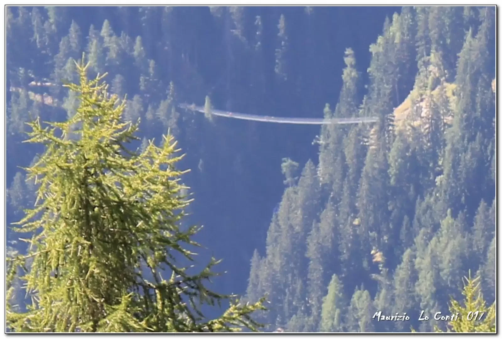
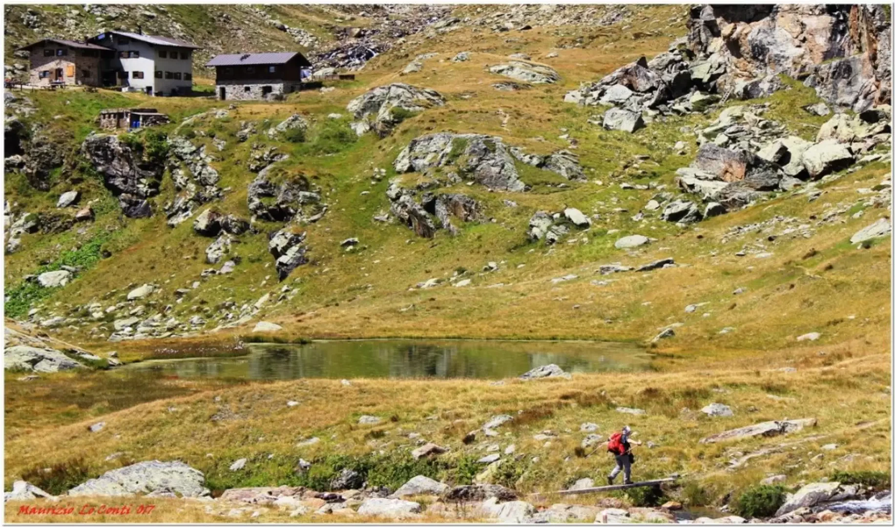
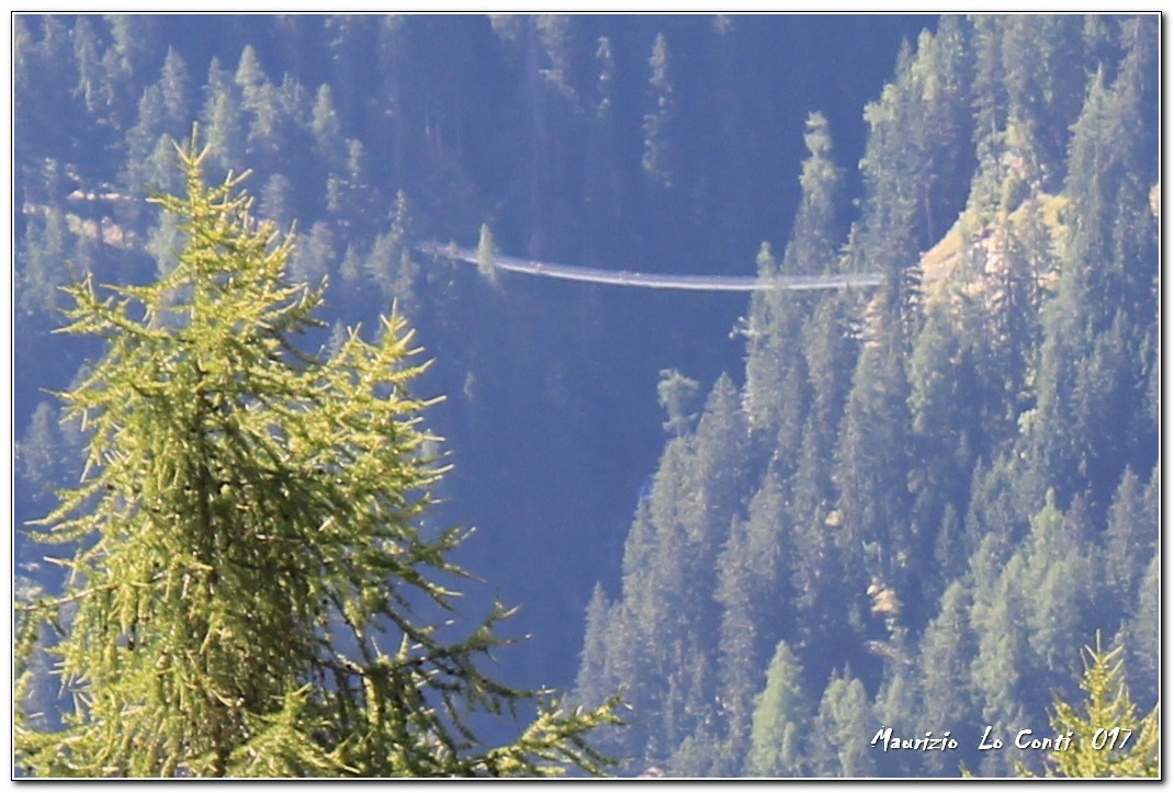
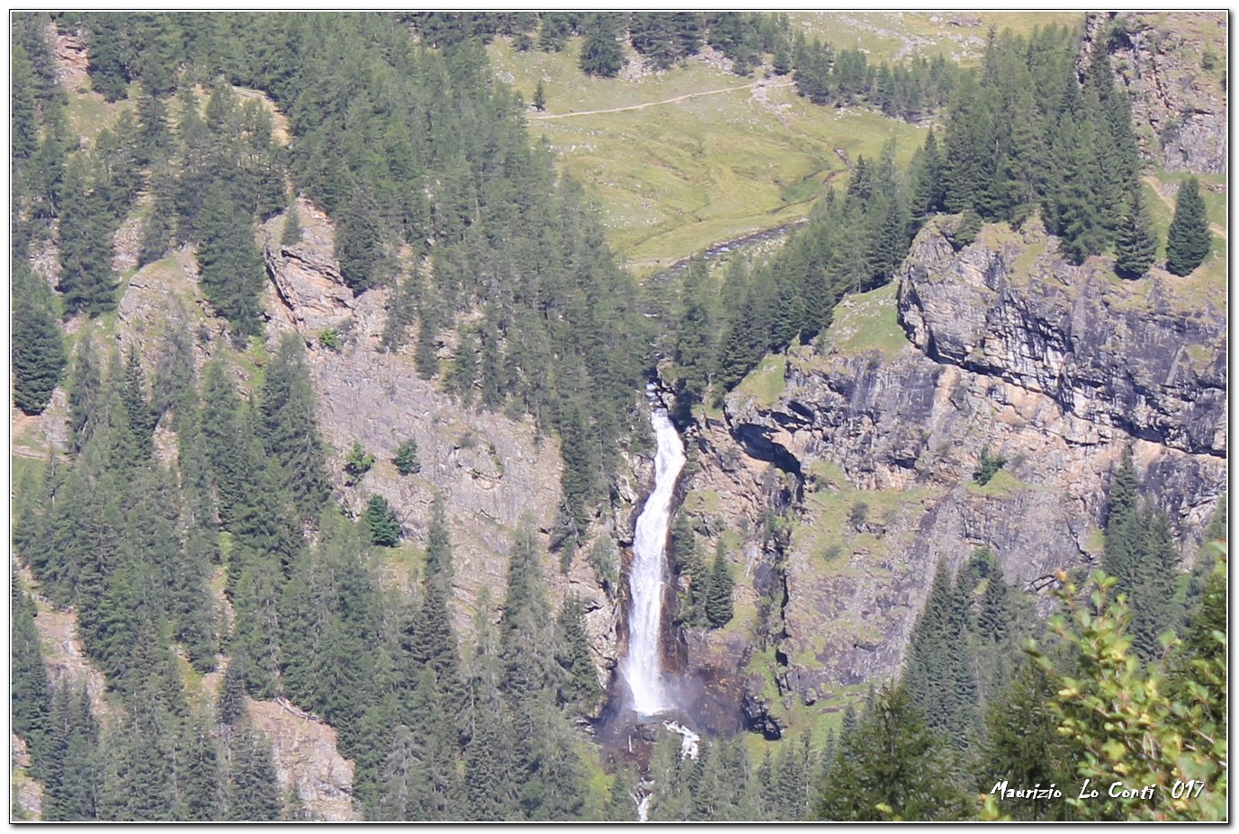
You get off the bus at the fork to Malga Terzolasa and in 10' you reach the building at 1894 m. Here the path rises and regains height for about twenty minutes. Then it continues almost level ... You can see the suspension bridge in Val di Rabbi and Malga Stablaz bassa. The Dorigoni is still a long way off... On the other side, the serpentine that climbs up the mountain stands out... Finally, there is the bait de Sas Vec 2,279m. You slowly recover metres and, at times, there are also some ups and downs... Further down, you can see the Prati di Saent. The route follows the contours of the mountain and is ultimately very long, but very beautiful.... (Diff. E, difference in height approx. 650 m. 3h30 one way).
The return is by the classic route, recovering the car at the 'Al Plan' car park (2h30 return + shuttle bus - tot. 6h approx. 700 m difference in height)
If you wish, here is the photo pdf file, with a little more information:
http://cralgalliera.altervista.org/FolgEst17/Trentino017H.pdf
... and also some single shots:
http://cralgalliera.altervista.org/FolgEst17/1707Fi1PonteSospesoValRabbi.jpg
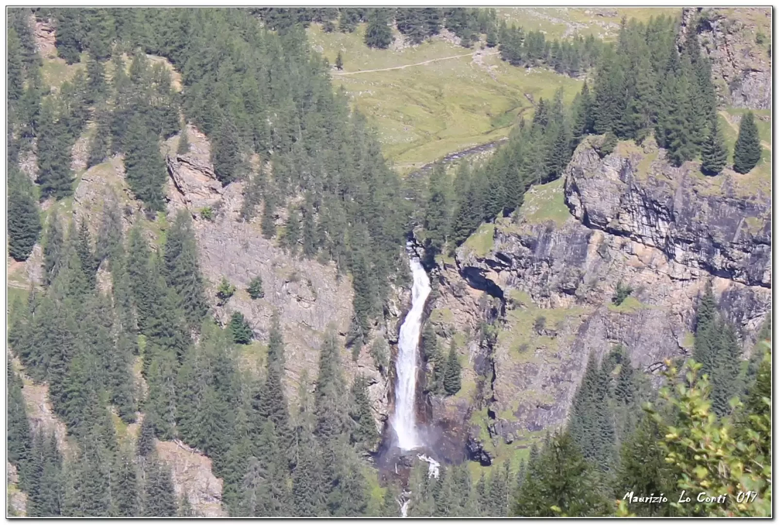
http://cralgalliera.altervista.org/FolgEst17/1707Fi2CascateSaent.jpg
http://www.cralgalliera.altervista.org/anno2022.htm
http://www.cralgalliera.altervista.org/altre2022.htm
NB: in case of an excursion, always check with FIE, Cai, any park authority or other institutions, pro loco, etc, that there have been no changes that have increased the difficulties! No liability is accepted. This text is purely indicative and not exhaustive.
General Information
Signposting: SAT
Type of route: a/r
Recommended period: June, July, August, September
Exposure to the sun: south, west
Objective Danger:none
Exposed Trails:none
Useful Equipment:normal daily hiking gear
Water: n.r.
Galleria fotografica