Rifugio Crête Sèche, da Ruz

Edited by:
Massimo Martini
Access
Leaving the motorway at the Aosta Est barrier, turn right and take the dual carriageway to follow for 8.4 kilometres. At Signayes, turn right onto the regional road following the signs for Bionaz/Laravoire. Pass a roundabout and continue on the regional road along the entire length of Valpelline. Pass through the villages of Valpelline and Oyace until, after about 27 kilometres, you reach the hamlet of Dzovennoz. Turn left, following the signs for Chez Leo Merloz Ru, Ley Cretes. Go up the little communal road for 1.3 kilometres until you reach the free car park 🅿️ before the village of Ru.
[0h39'] - [29.2km]
How to get there with GMaps
How to get there with Apple Maps
The directions given here have been verified as of the date of the survey of the route. Before setting off, it is advisable to ensure that no substantial changes have occurred on the route to the starting point. We therefore recommend the use of the satellite navigation apps provided by Google or Apple for up-to-date and detailed directions.
Description
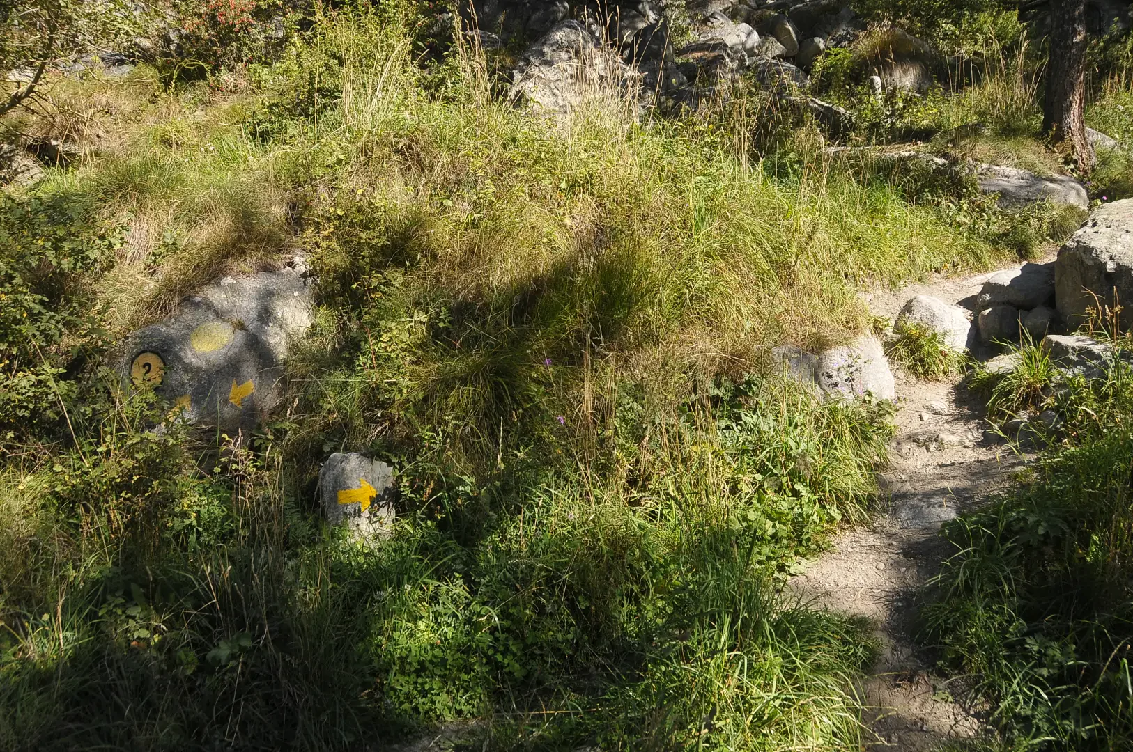
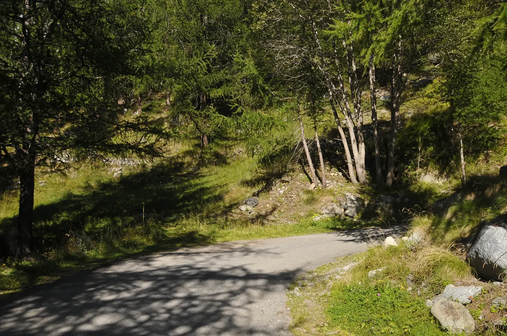
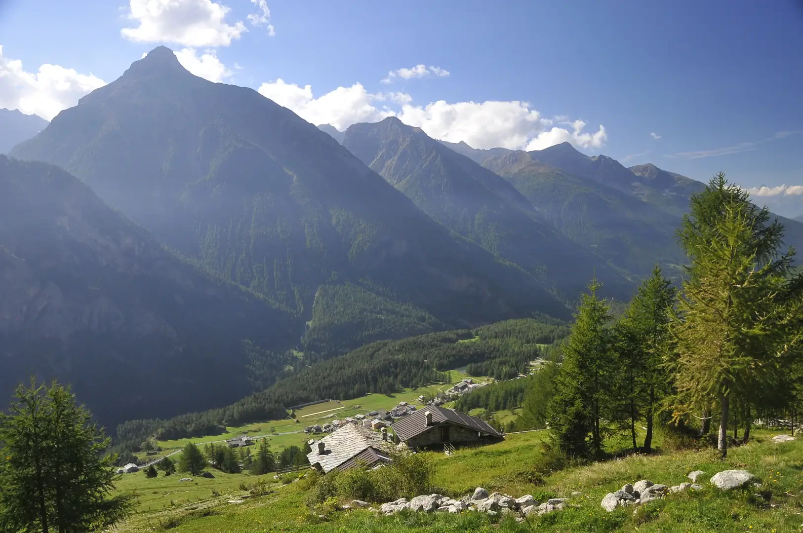
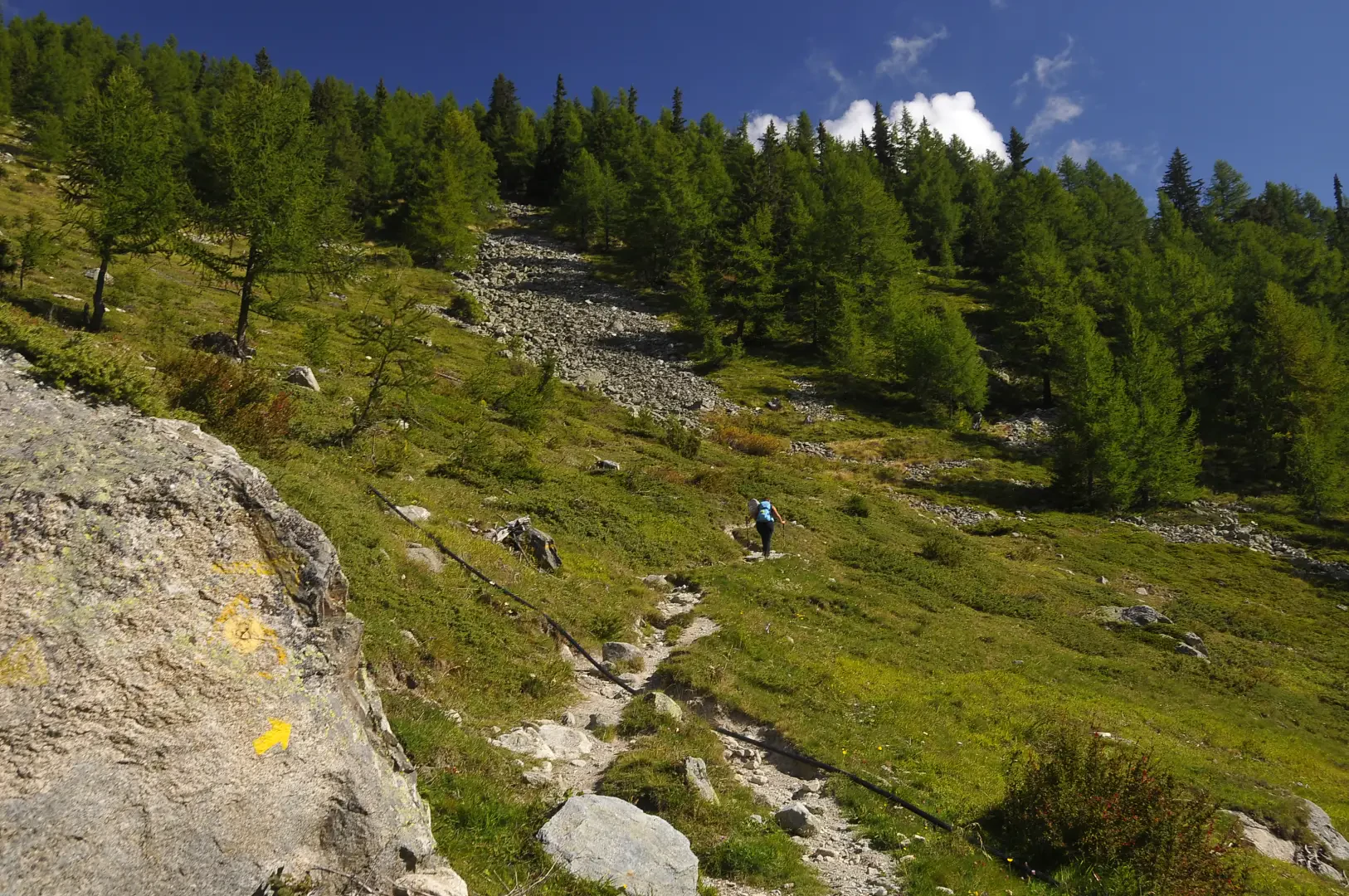
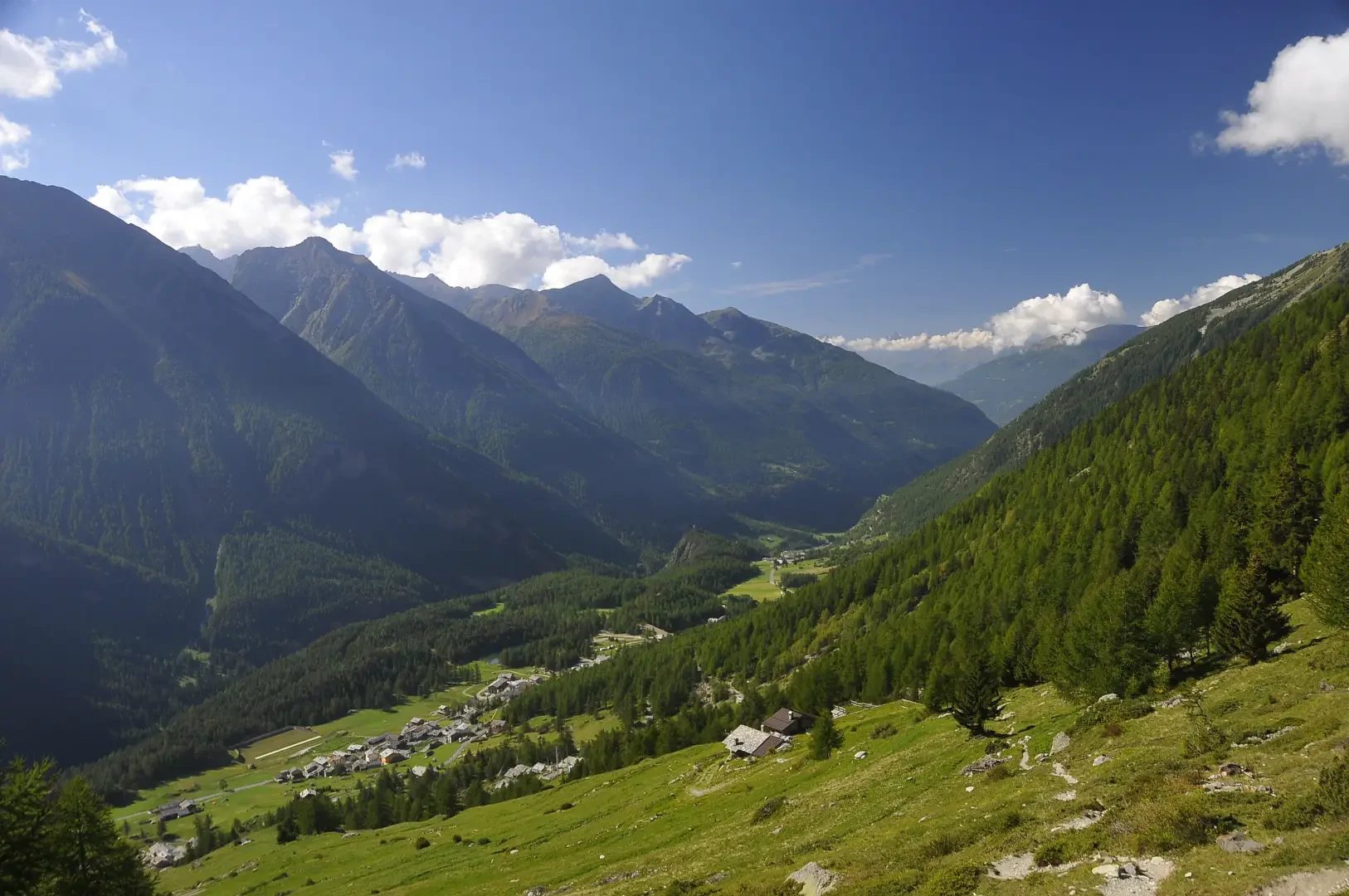
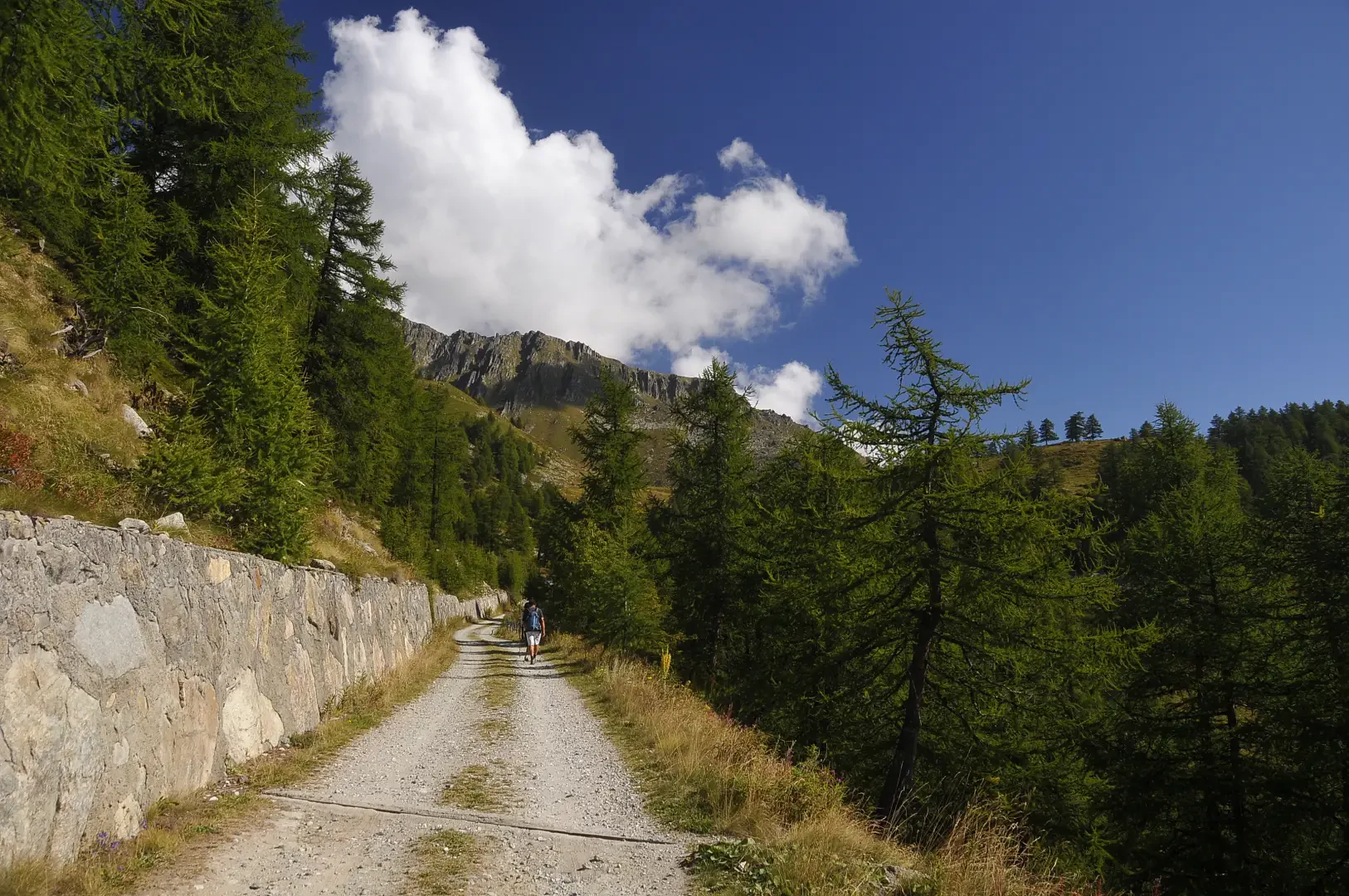
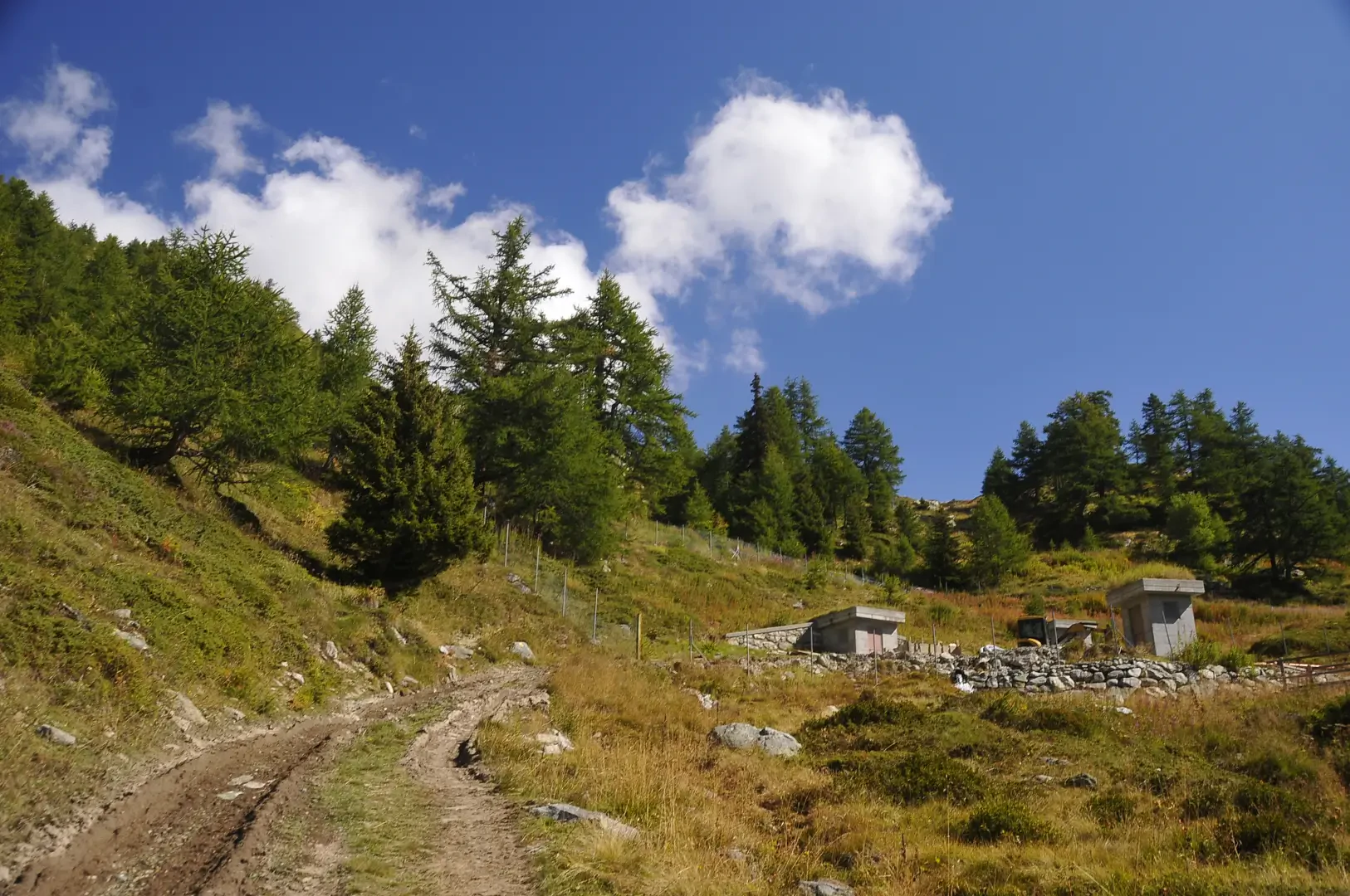
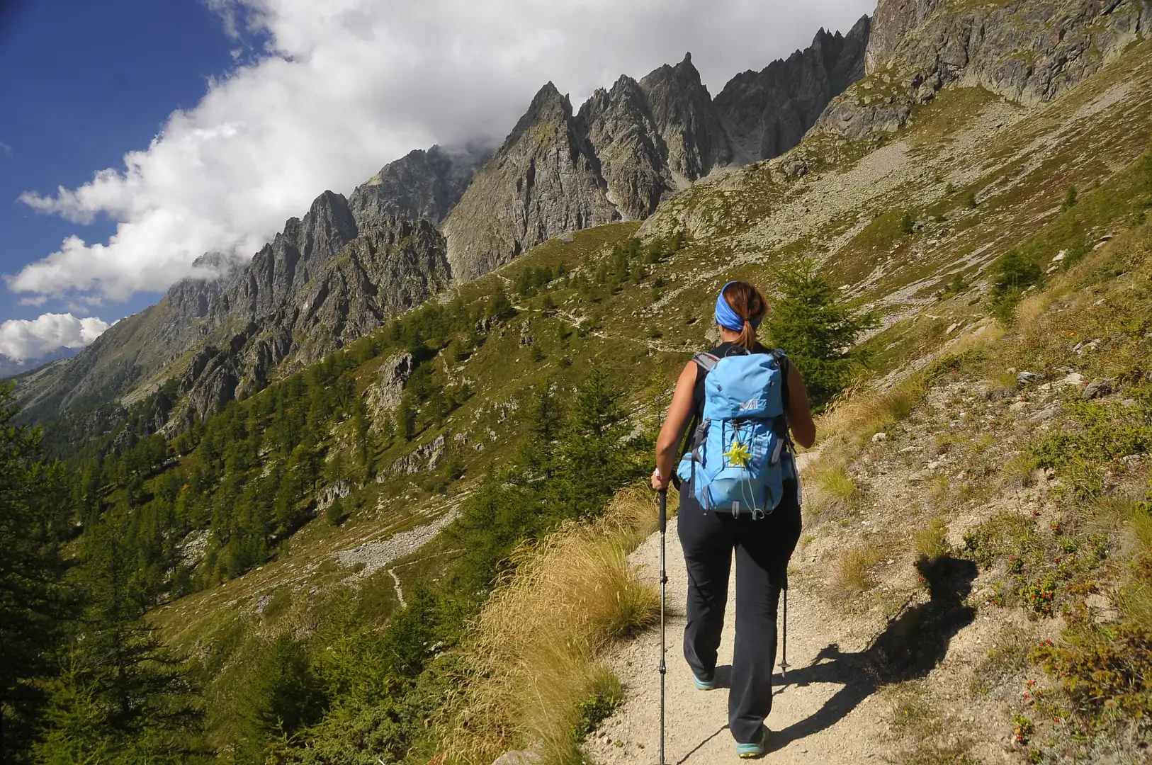
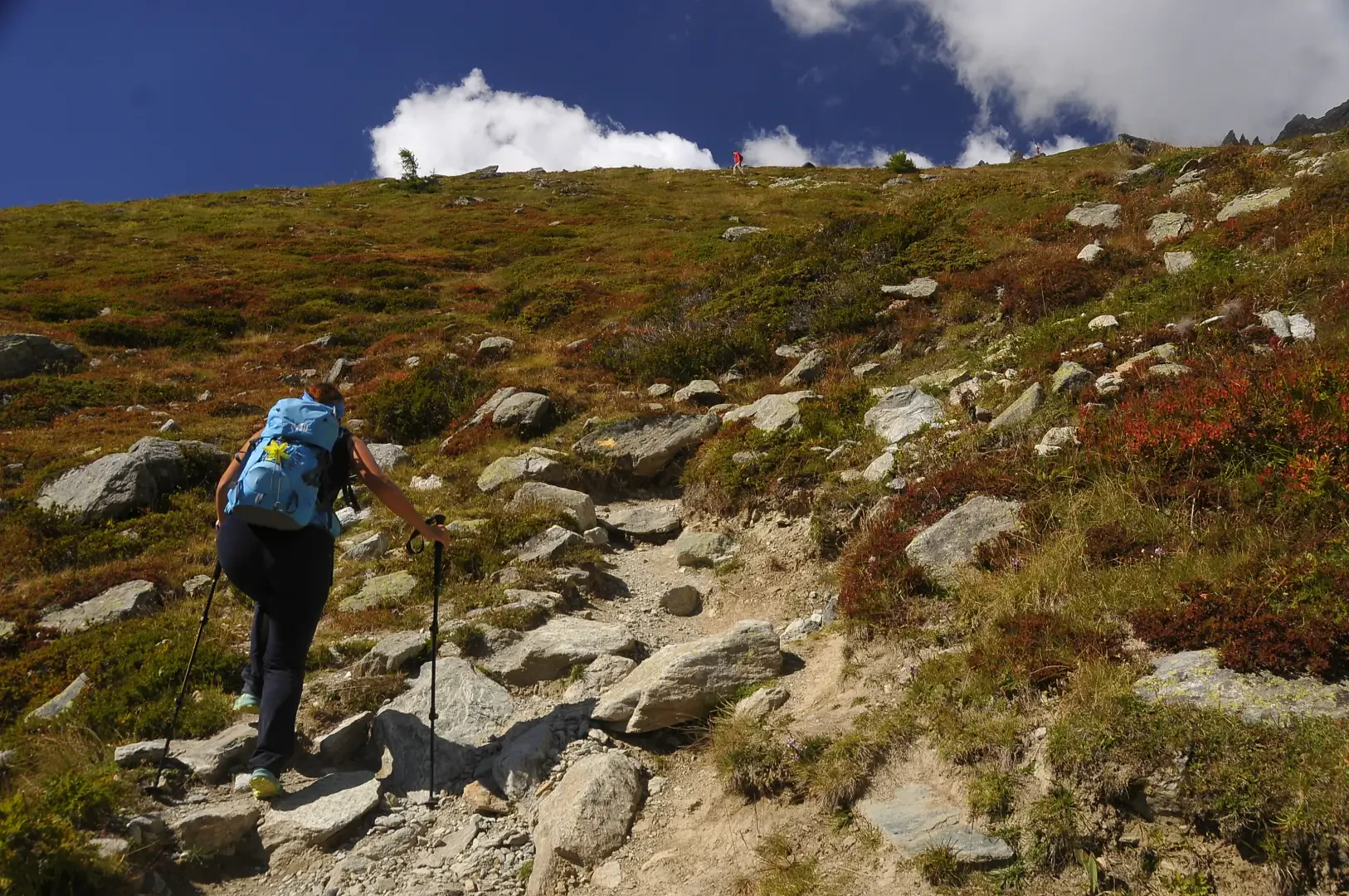
0h00' Da Ru (1696m) si parte accanto ad un casotto toilette con fontana ⛲, si oltrepassa il paese su sterrata fino al terrazzo erboso dell'Alpe Promot (1853m).
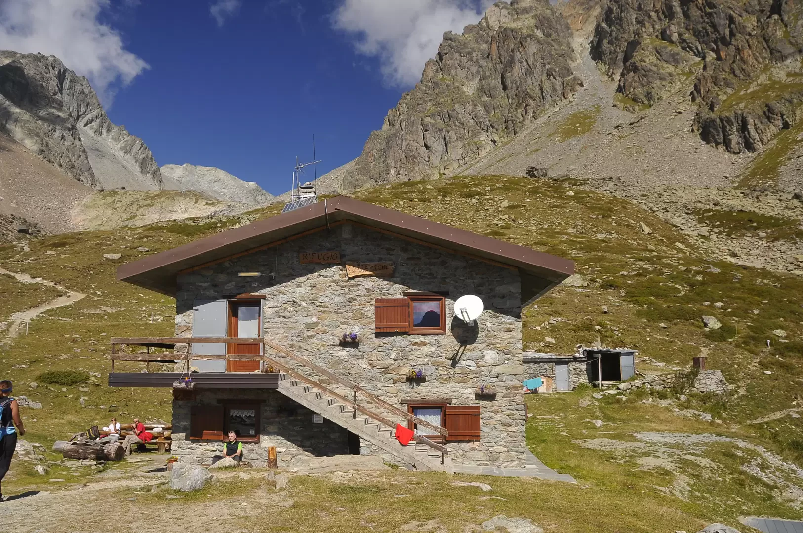
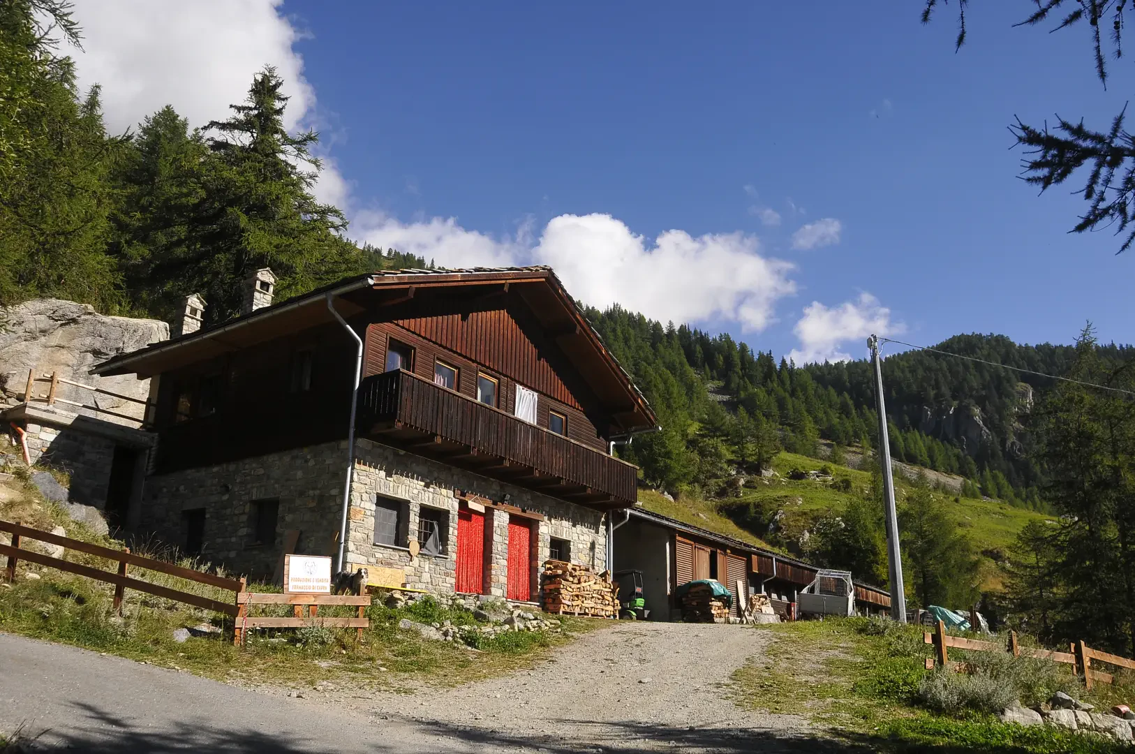
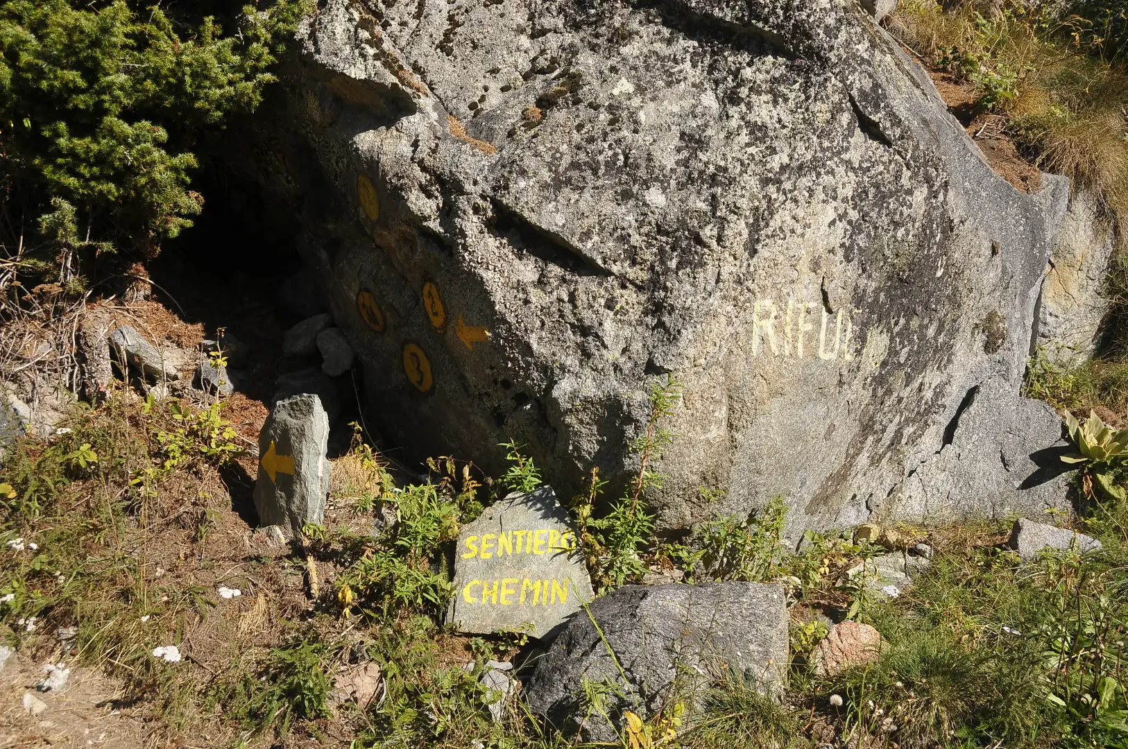
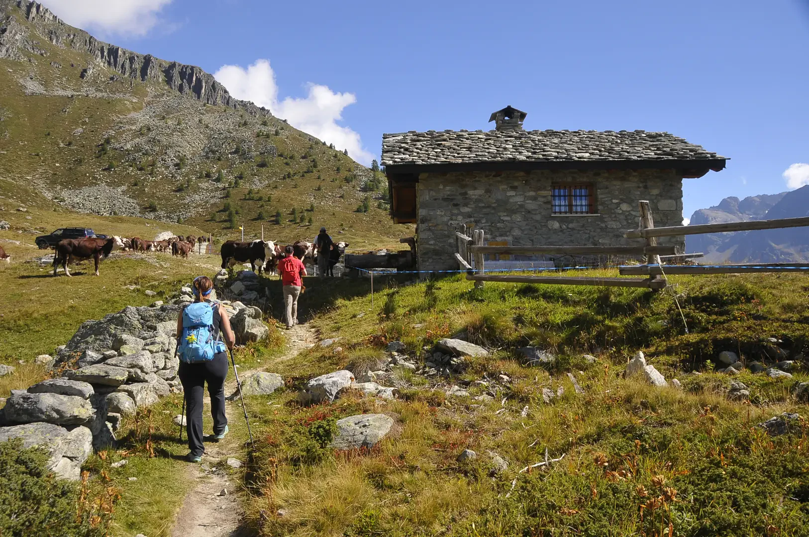
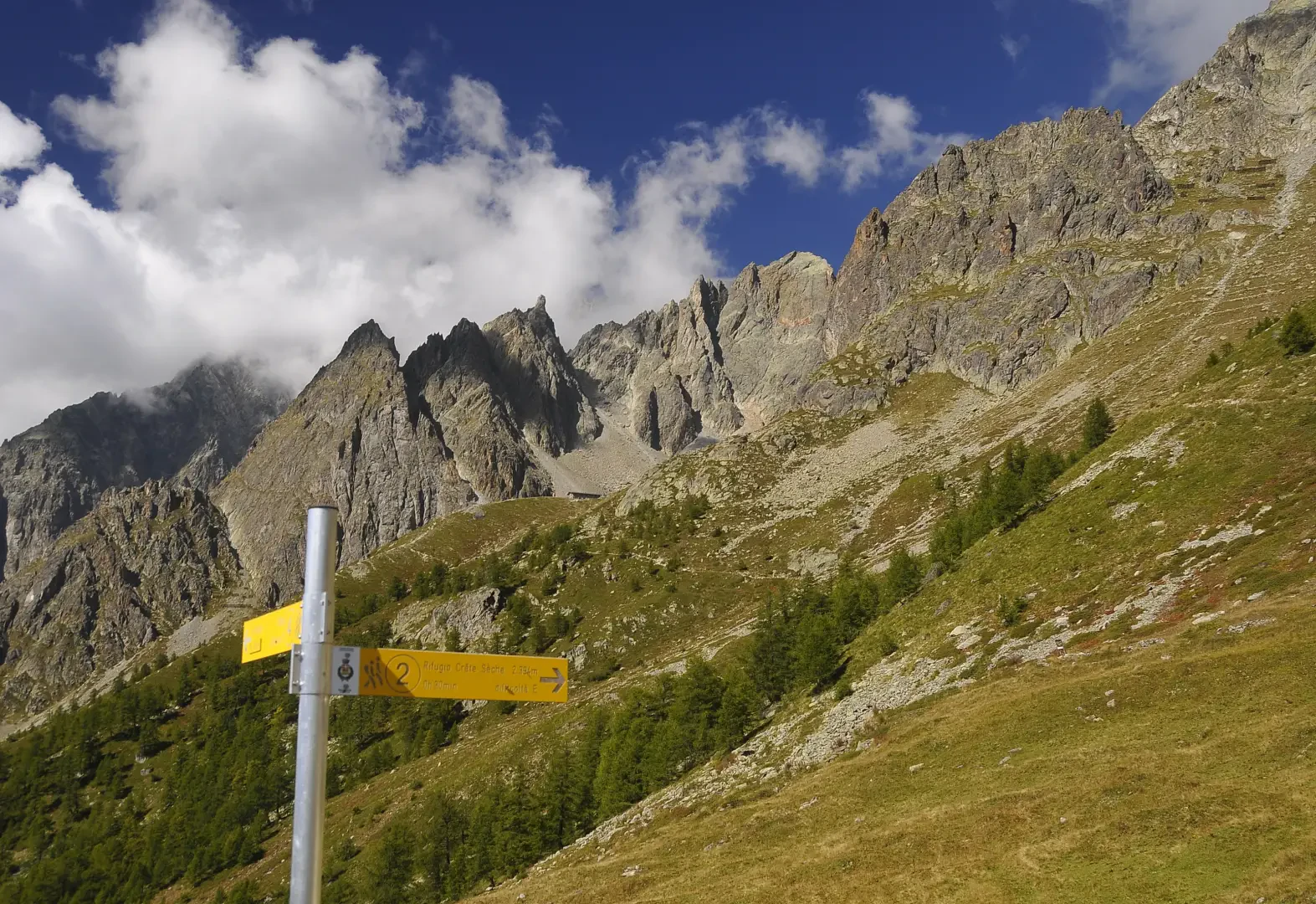
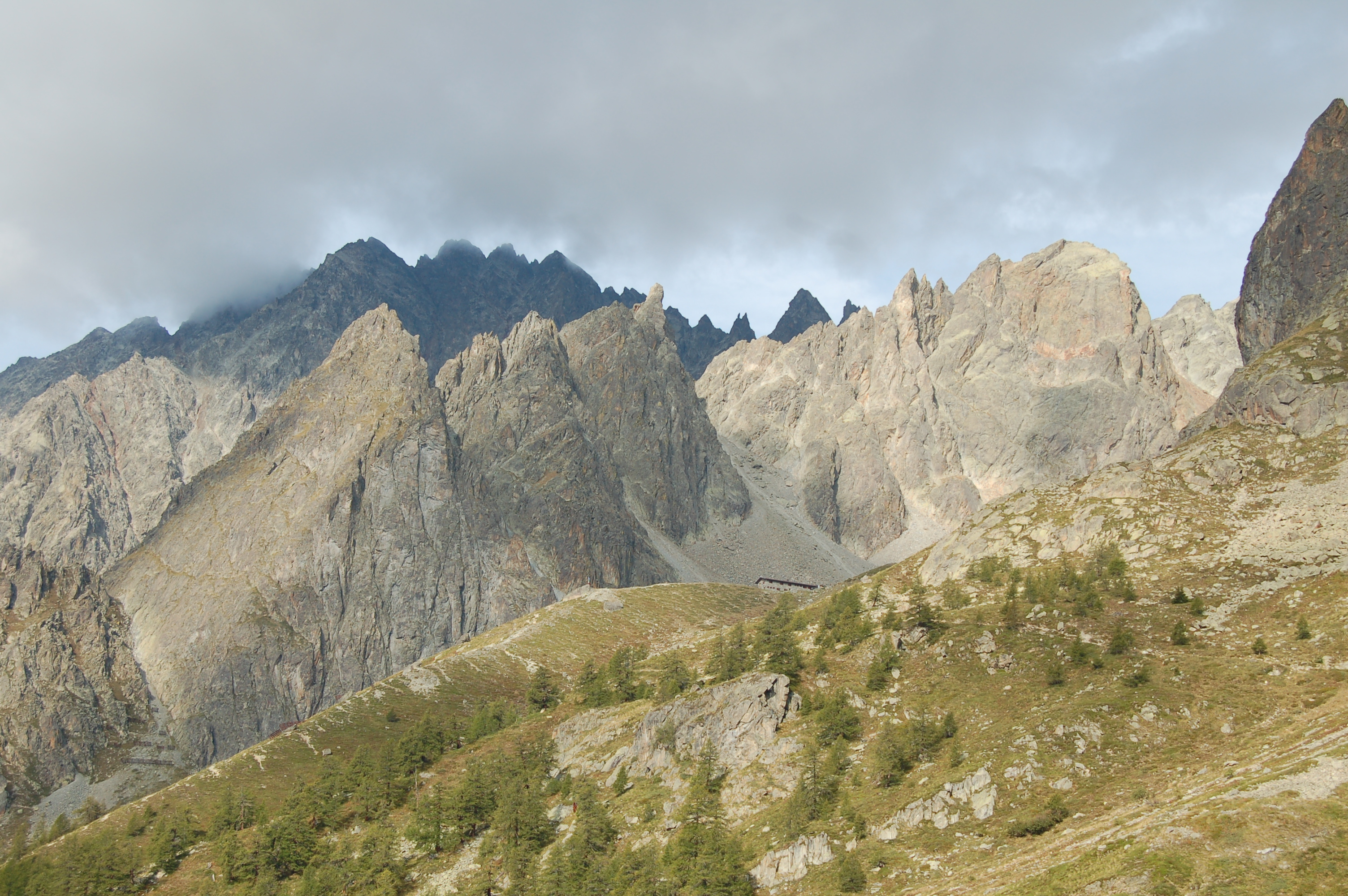
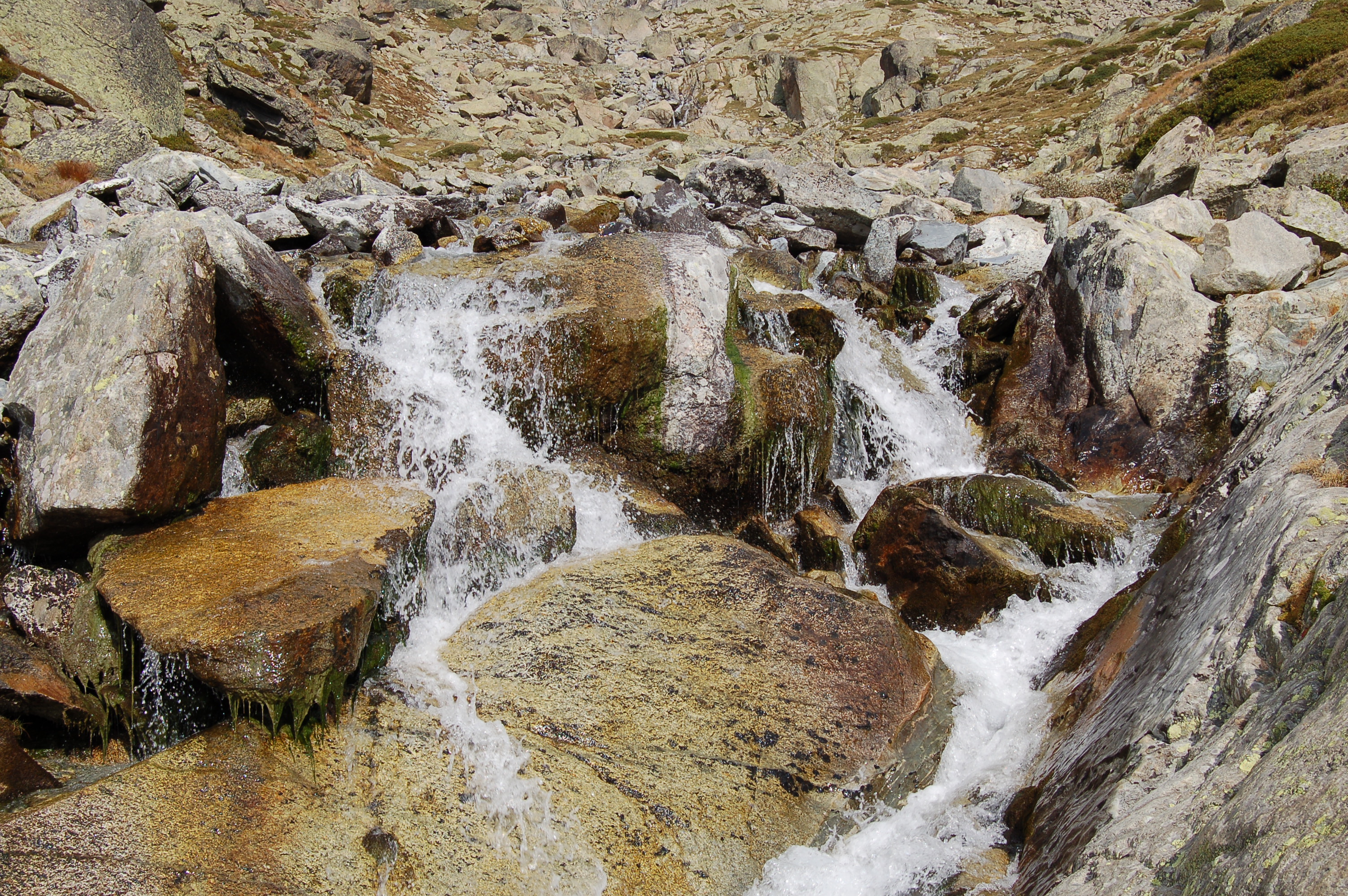
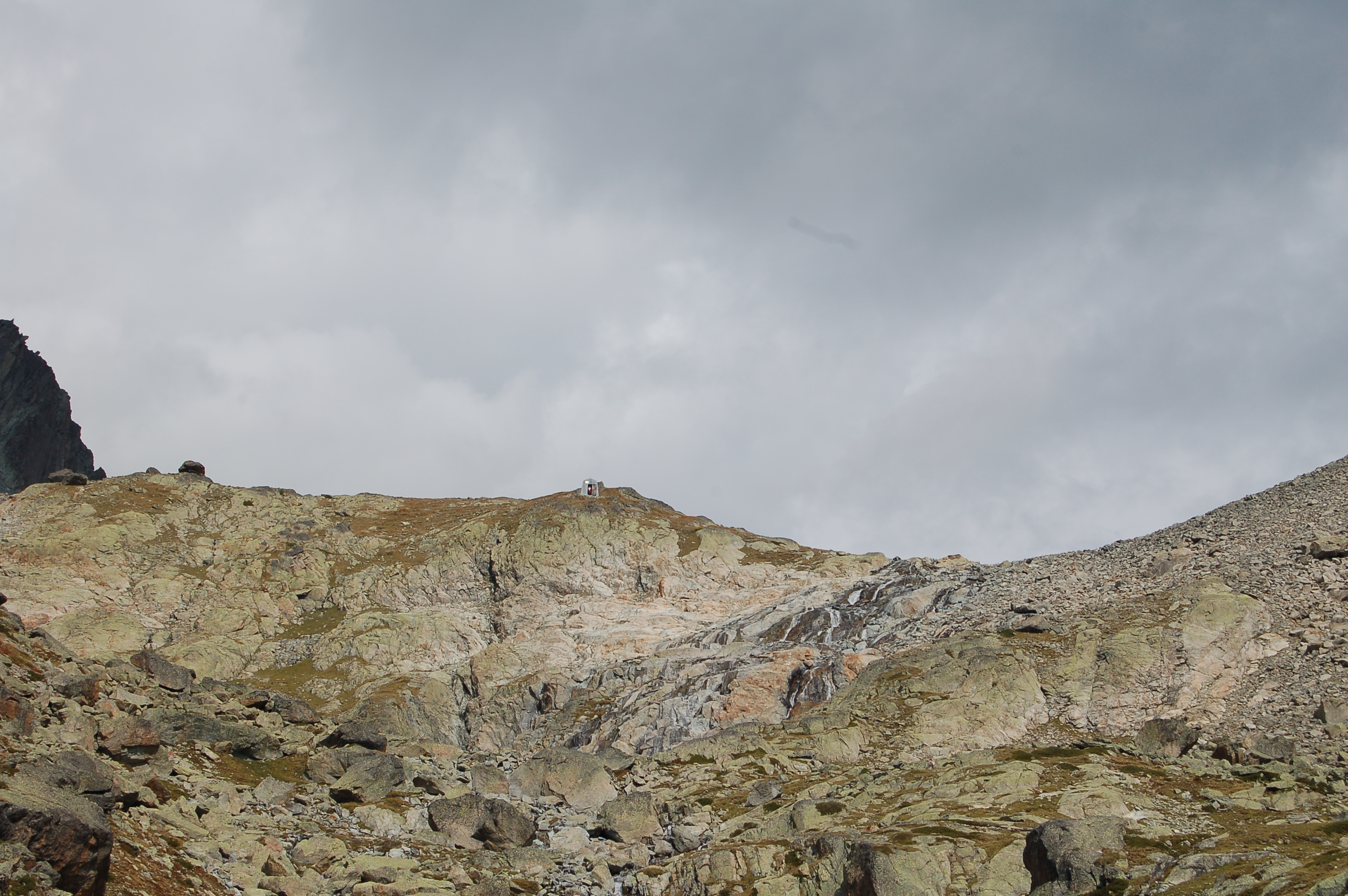
0h30' Si prosegue ora fra abeti e larici, si va altre la presa di un acquedotto e, dopo alcune svolte, si oltrepassa il torrente della Comba di Vertosan, fino a giungere all'Alpe Berrier (2192m). In alternativa, poco prima del torrente, si può prendere l'evidente sentiero che ad una grossa croce di legno, poco sopra l'Alpe Berrier. Si obliqua ora a sinistra in leggere pendenza ed, improvvisamente, si vede spuntare il tetto del Rifugio Crête Sèche (2390m) che si raggiunge nei pressi del costone finale del Monte Crête Sèche.
Points of Interest
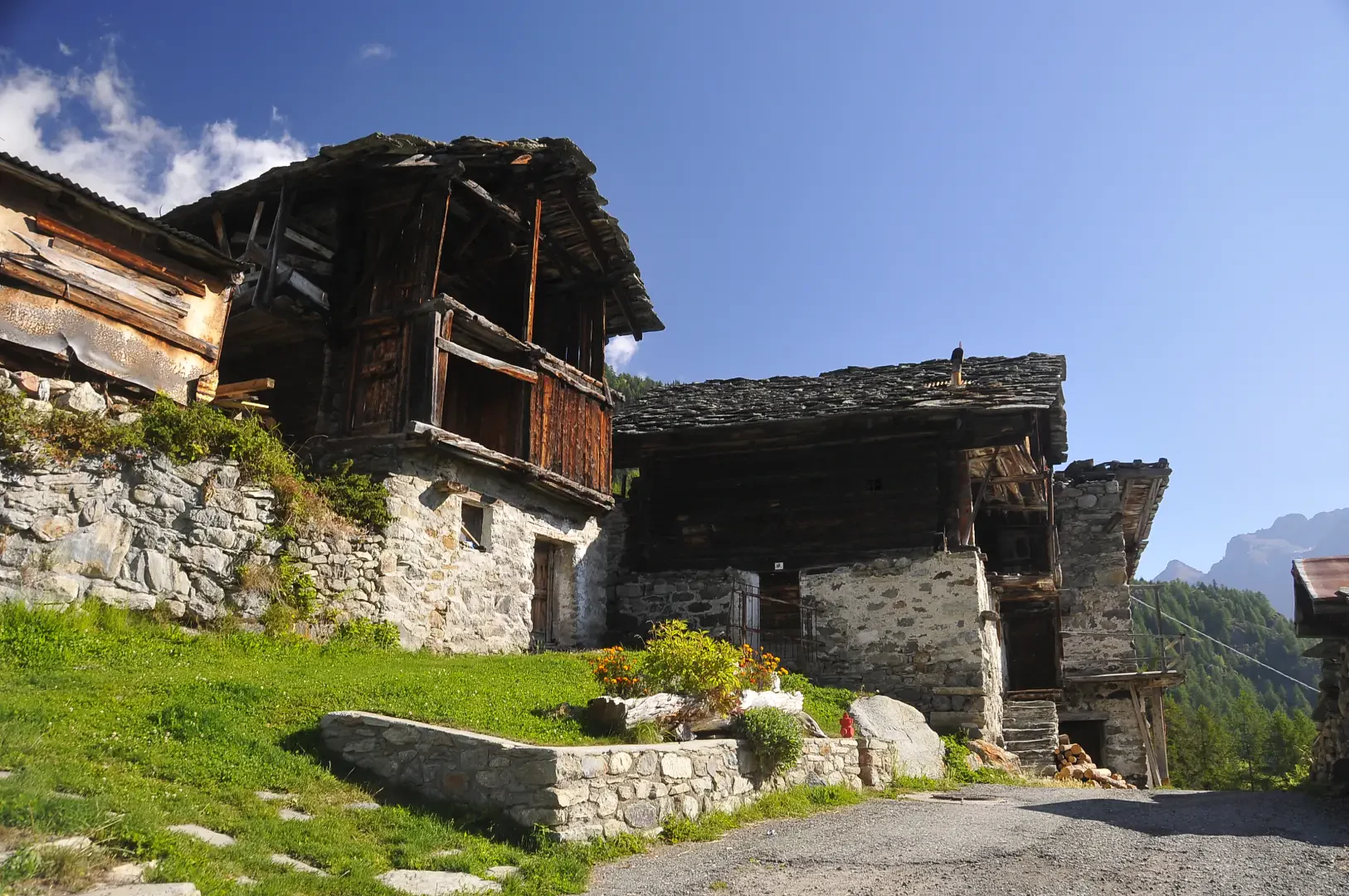
- Ru
- Berine
- Promont
- Berrier
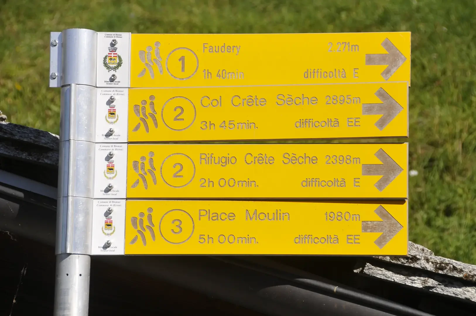
- Rifugio Crête Sèche
Collections
Galleria fotografica
We have been there

Edited by:
Ivo Giansetto
Rifugio Crête Sèche
Salito a trovare gli amici gestori in tempo prima della chiusura per fine stagione. Come sempre l'accoglienza, la disponibilità e la cortesia di Ilenia e Daniele hanno fatto in modo che la giornata fosse positiva nonostante il maltempo. Le previsioni davano maltempo solo dal pomeriggio, ma una pioggia battente e la nebbia mi avevano quasi invogliato a fermarmi al rifugio. Una piccola schiarita mi ha permesso di scendere per una mezz'oretta tranquillo, poi la pioggia è ritornata inclemente.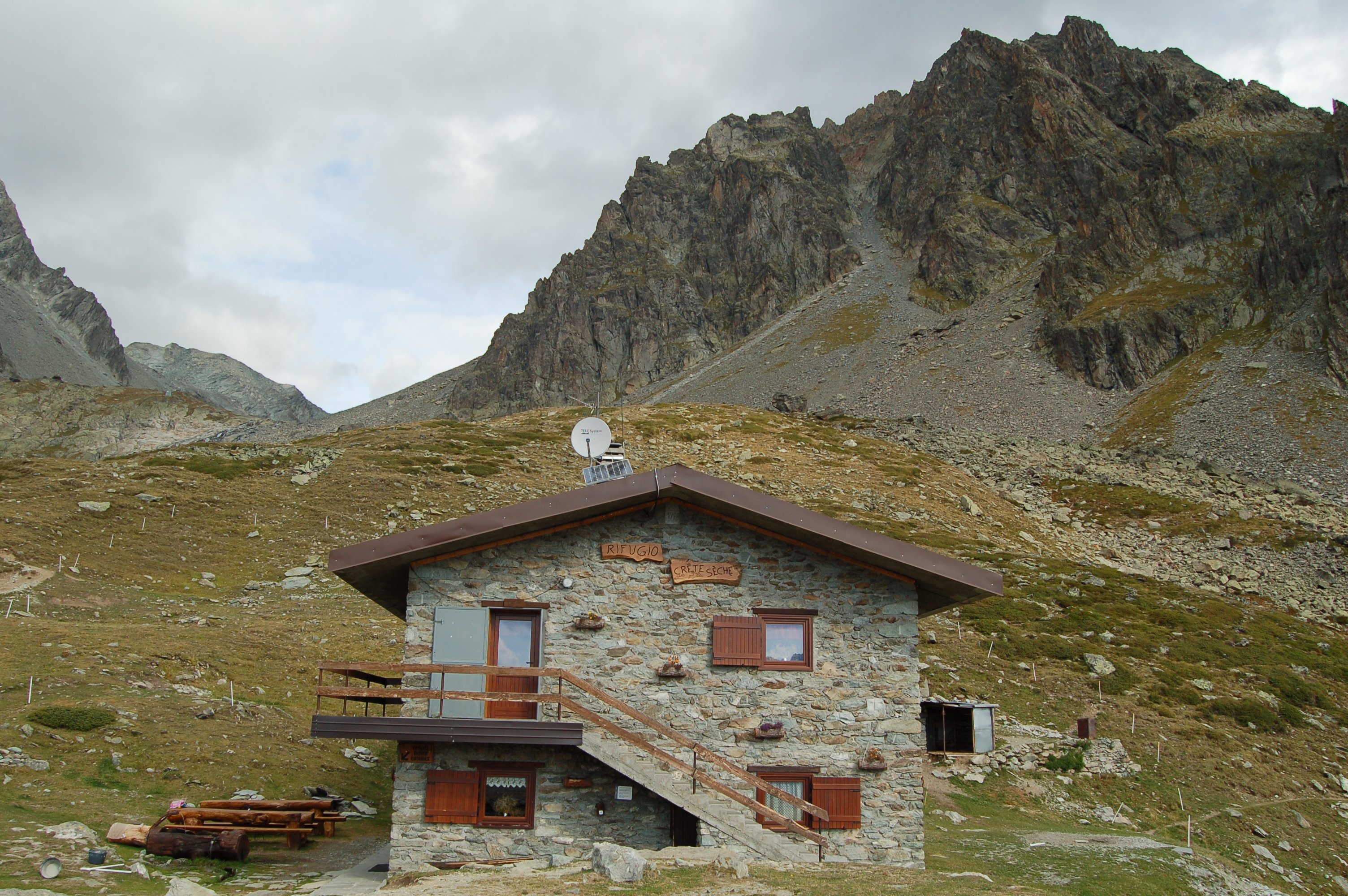
Edited by:
Fabio Bertuzzo