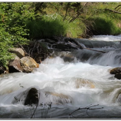
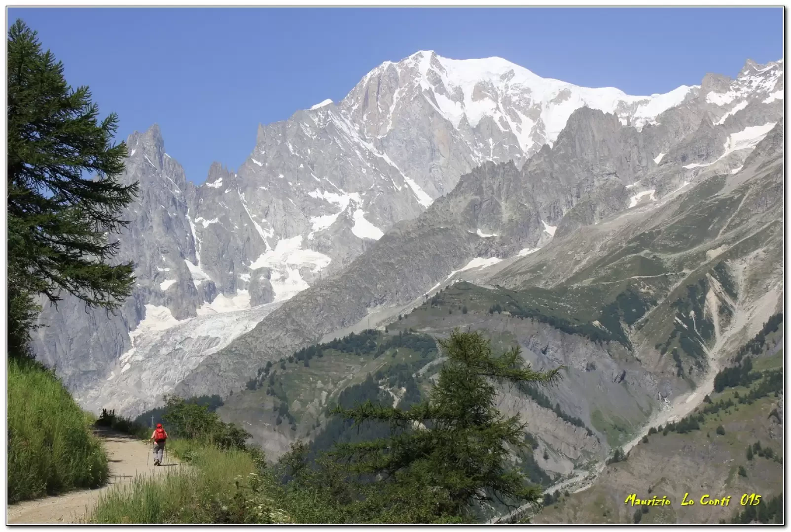
Bonatti Refuge, along the balcony from Planpincieux
Introduction
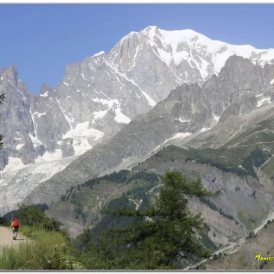
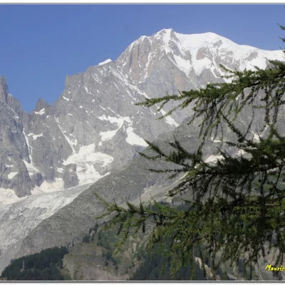
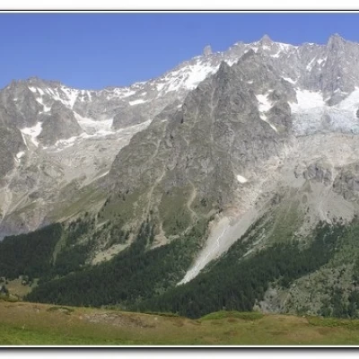
Planpincieux - ref. Bonatti: panoramic balcony over the Mont Blanc chain in Val Ferret (AO)
.Description
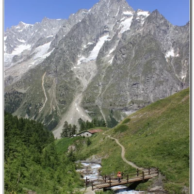
Go up the Val Ferret to Planpincieux where you leave your car on the left in a large car park; continue to the church of "Our Lady of Healing" 1619m. Here there is a bridge (and another smaller park) that you cross (10') and now take the dirt road uphill. A beautiful view opens up over Mayencet and the valley floor. You climb with a view sweeping from Mont Blanc to the bottom of the Veny valley. The path reduces to a track and continues to climb. You reach Leuchey Damon 1938 m (1h05') and here there is an important fork, where you turn left for Rif Bonatti (time on the guide sign!). You now follow a pleasant route that is a veritable balcony over the entire Mont Blanc chain. There are several ups and downs with the route going between 1900 and 2000! You can see Tronchey at the bottom of the valley and pass Alpeggio Leche 1924 m. Continue to the cottages of Arminaz Desot 1986 m where you cross the stream on a beautiful bridge. There is another ascent and after a descent, you reach Secheron 1921 m. Finally, several streams are crossed. Then, a final steep ramp to the right finally leads to the much celebrated Bonatti hut 2026 m (2h05'). A well-deserved lunch stop with somewhat more limited views towards the Malatra valley. We descend on a track that twists and turns towards the bottom of the valley (then on a dirt road) to a bridge over the asphalt where there is a bus stop to return (45'). All in all: Beautiful day, very very hot disl 500 mt Dif. E for a little more than 4h Tot. + the breaks x see the various places encountered
Trip photos, pdf files and individual shots partly different from those in the document:
http://www.cralgalliera.altervista.org/ValFerret015.pdf
http://www.cralgalliera.altervista.org/other2015.htm
NB:
More info at the link http://www.cralgalliera.altervista.org/esc.htm
Photos other outings http://www.cralgalliera.altervista.org/anno2015.htm
http://www.cralgalliera.altervista.org/altre2015.htm
NB: In the case of an outing, always check with FIE, Cai, any park authorities or other institutions, pro loco, etc, that there have been no changes that have increased the difficulties! No liability is accepted. This text is purely indicative and not exhaustive.
General information
Trail: from Planpincieux
Trail signposts: marked trails
Type of route: traverse
Recommended period: June, July, August, September, October
Sun exposure: north-west
Useful equipment:normal hiking equipment
Water:Bonatti Refuge
