Benigni Refuge, from Pescegallo


Edited by:
Marco Bonati
Updated at: 13/10/2025
Access
From Milan to Morbegno along the state roads and ; at the roundabout at the entrance to the town turn right towards Val Gerola. Drive along the entire valley to the parking areas of the Pescegallo ski facilities.
.Introduction
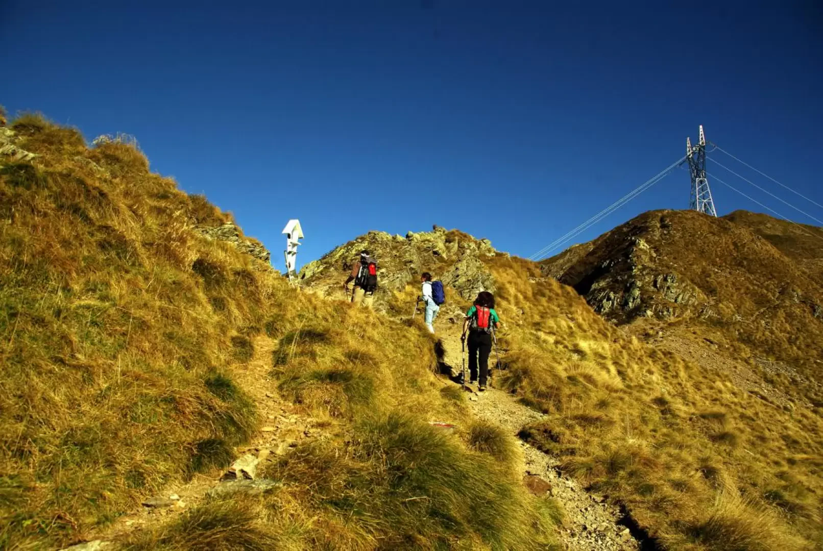
This is certainly not the shortest and most logical route to the refuge, but it does allow for a very comprehensive 'tour' in getting to know the various environments of the upper Val Gerola. It goes from pastures to dams, to natural lakes, among scree and rocky peaks, with even the possibility of encountering herds of ibex.
Description
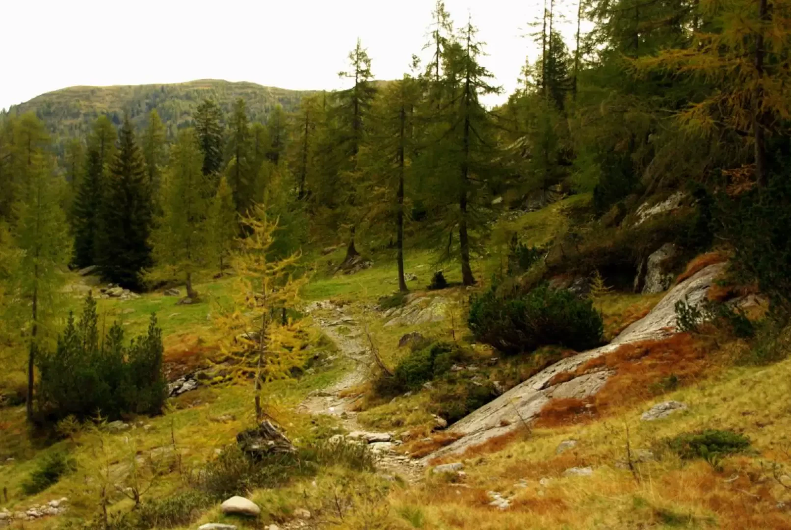
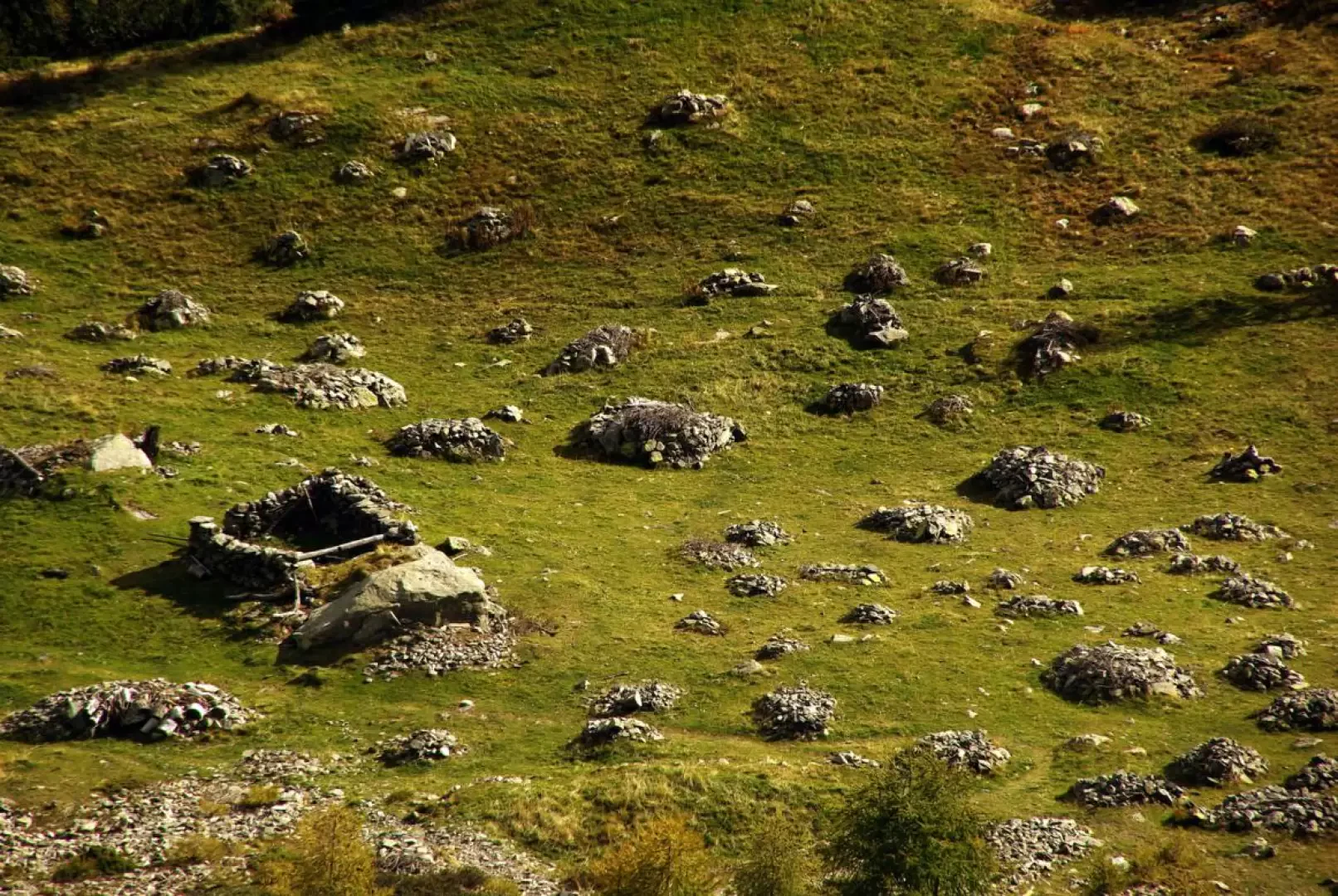
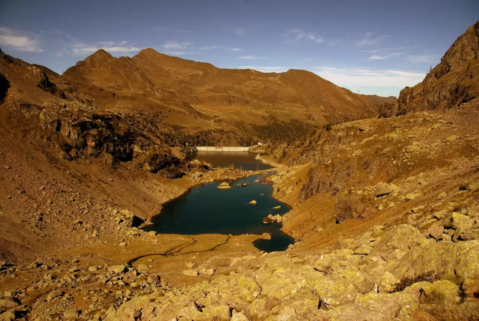
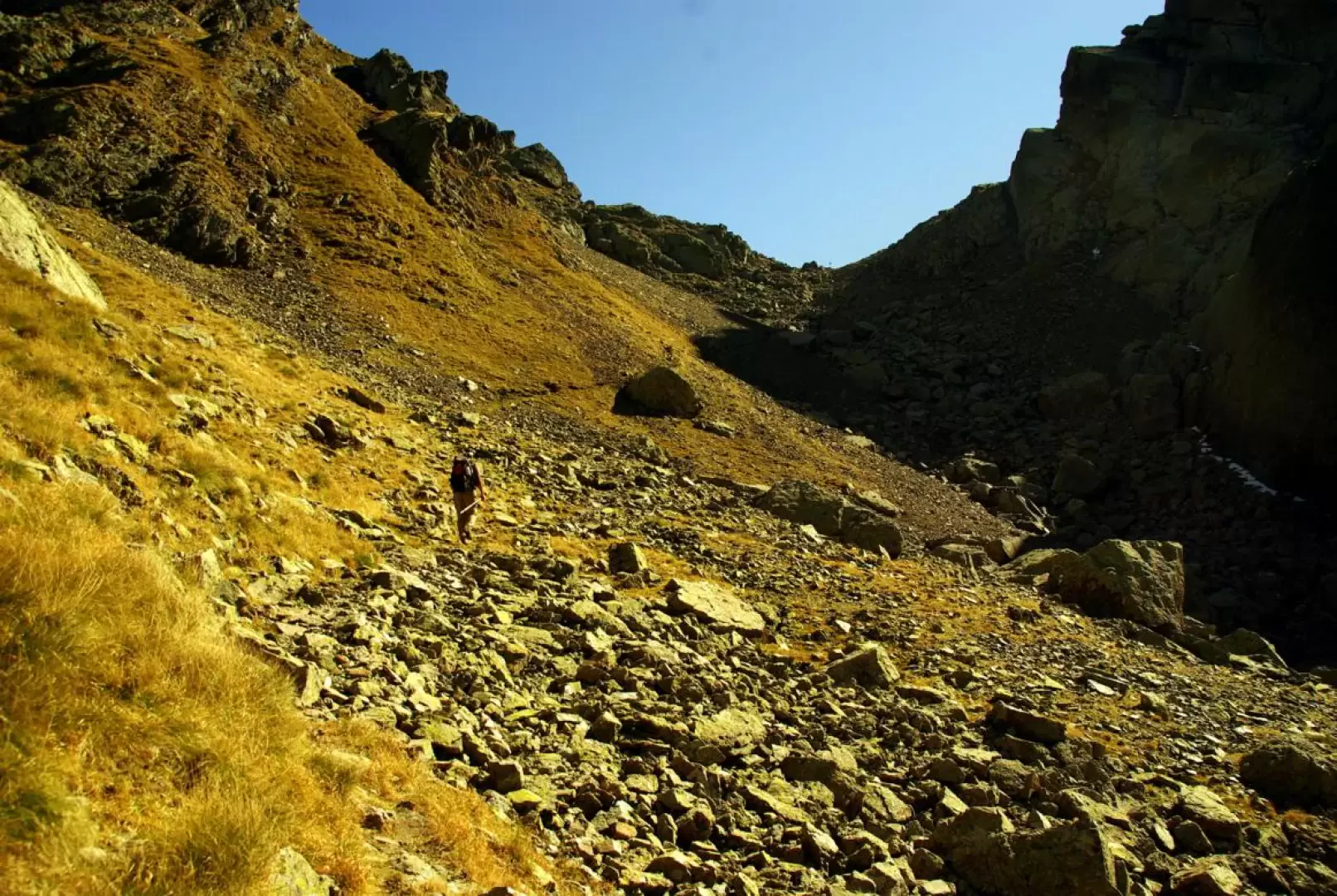
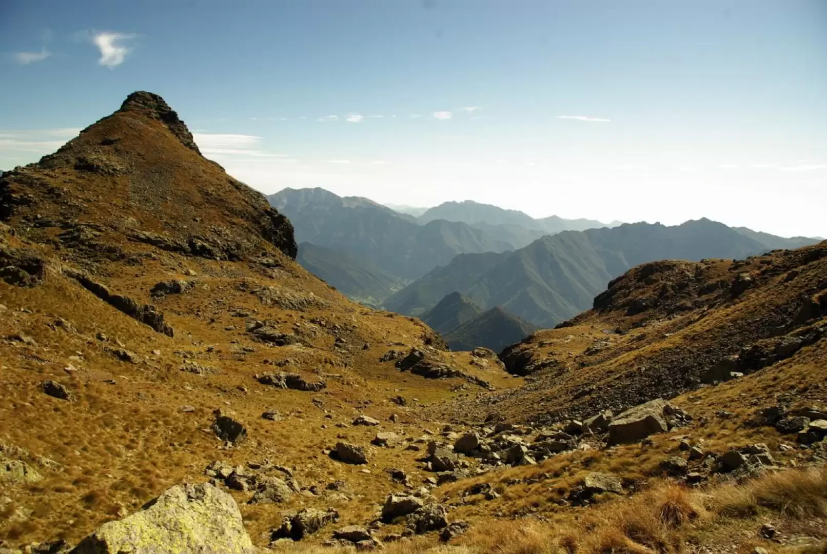
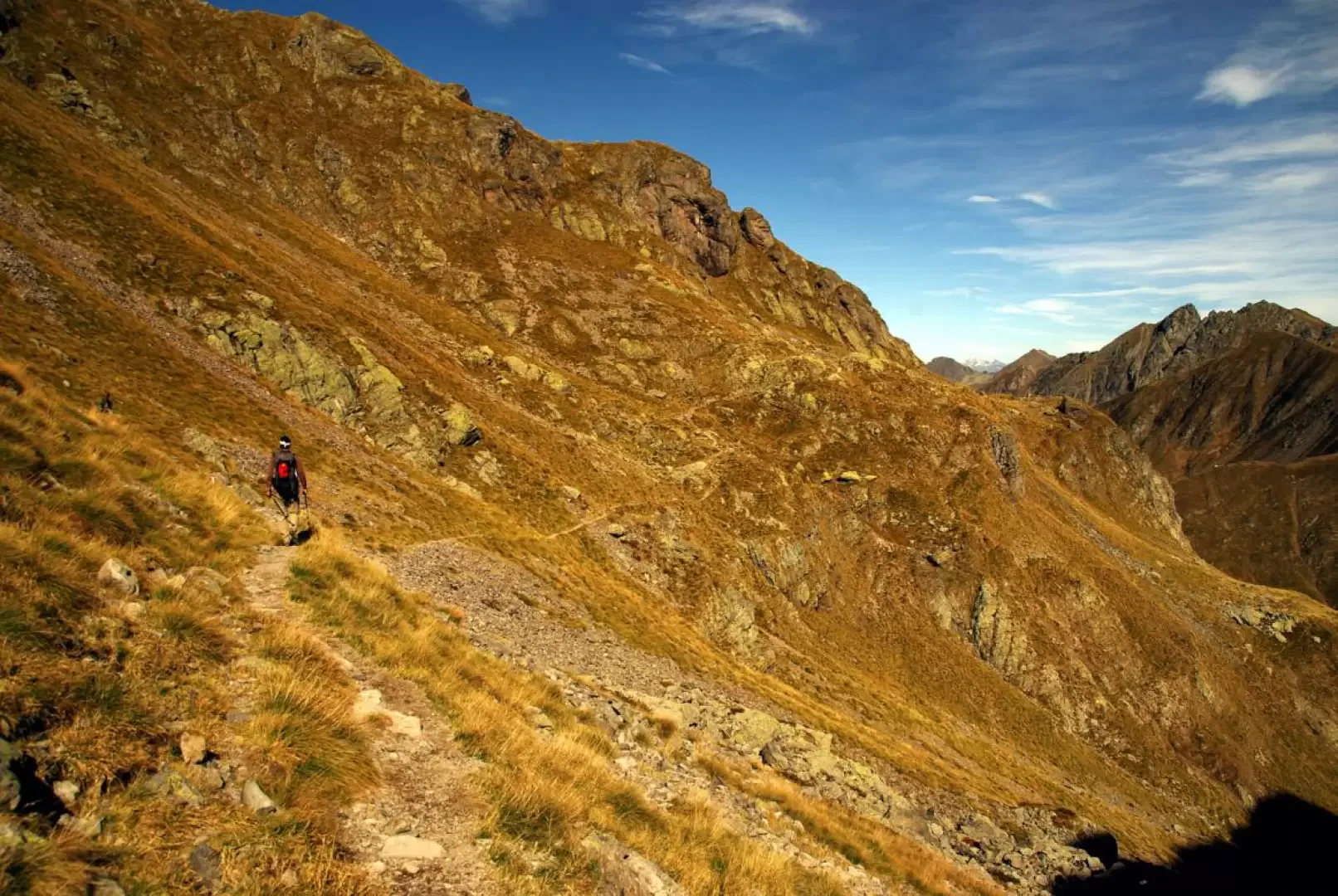
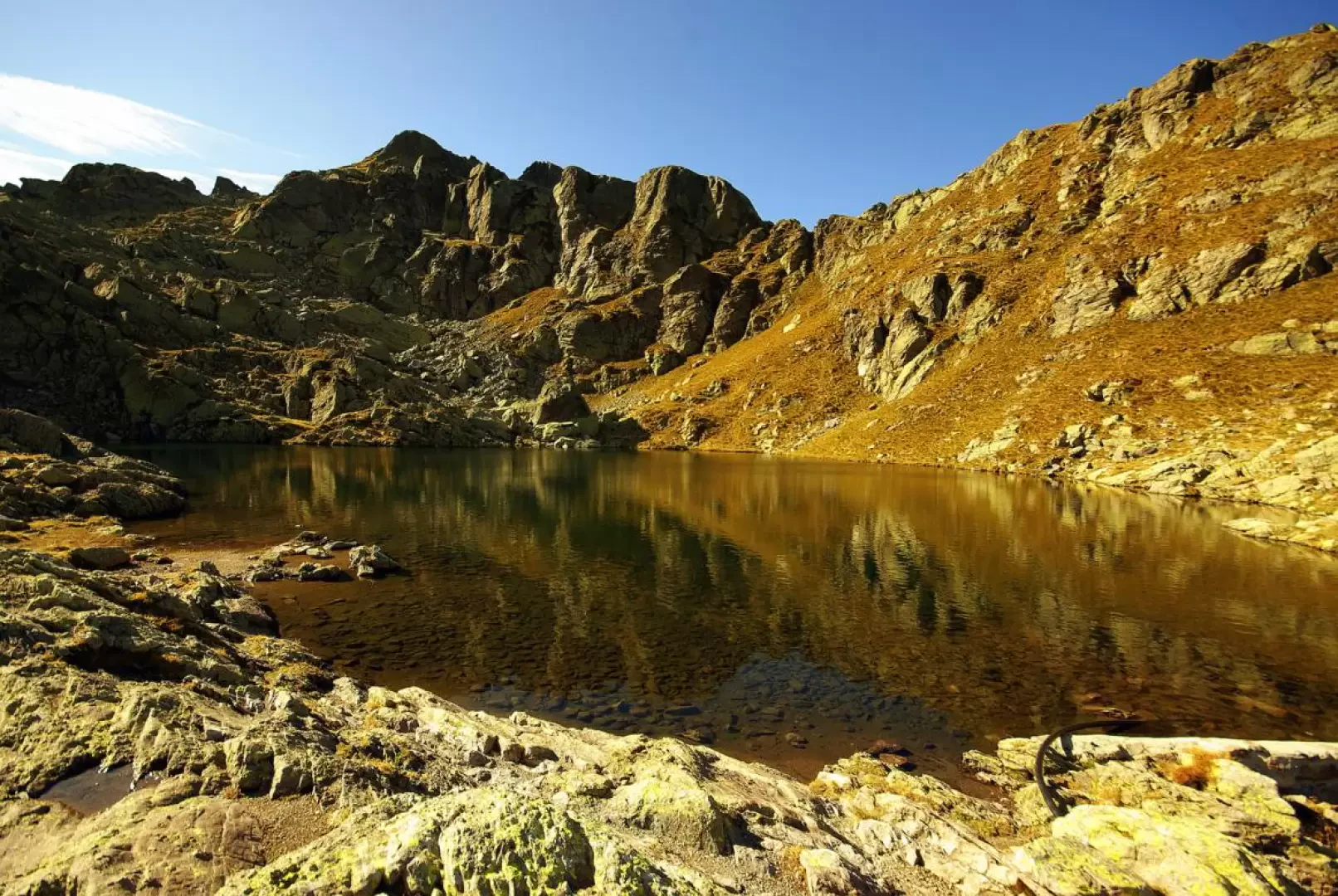
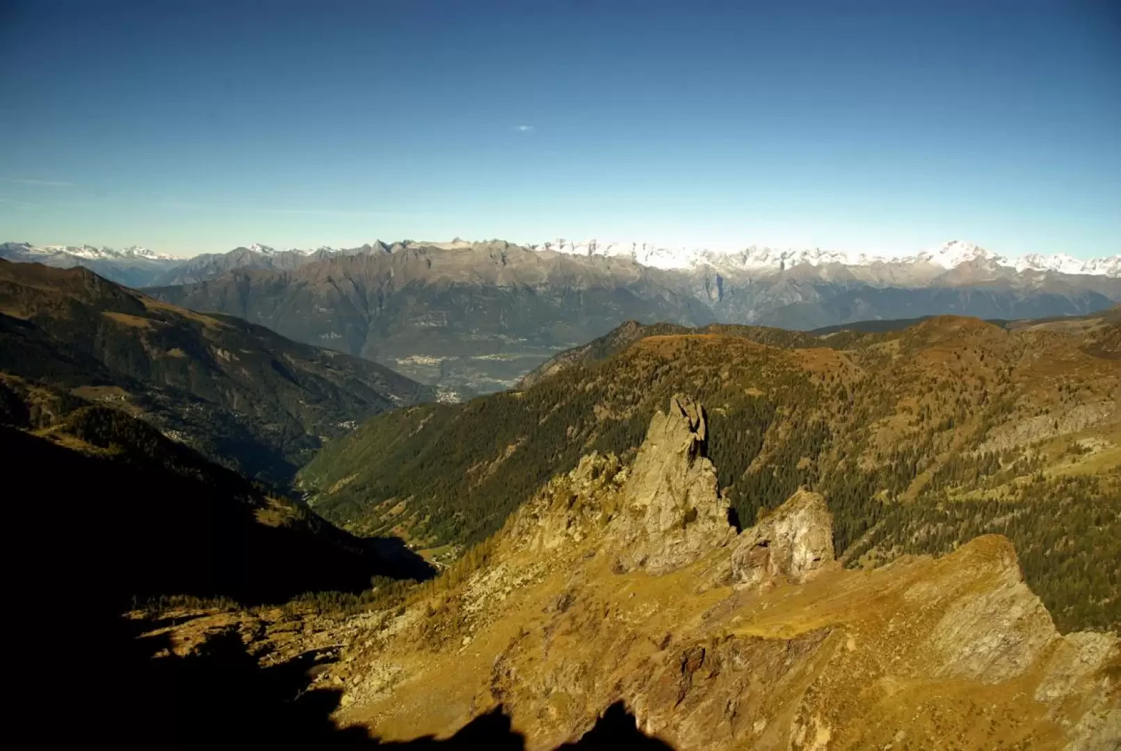
From Pescegallo 1454m, next to the chairlift station, head right towards an isolated hut where some signs direct you into the fir forest above. Climbing it with a few hairpin bends, we reach the Dossetto hut at the entrance to the solitary Val Tronella; after crossing the valley floor, we take hairpin bends along the slope at the base of Pizzo di Tronella to then reach the Pich knoll 1835m with a hut and a micro-lodge. A wide, more or less level mule track (dating back to the time of the hydroelectric works) allows you to quickly approach Lago di Trona 1805m, but without reaching it, at the beginning of the descent - at the fork in the scree - you turn left for a long traverse uphill halfway up the slope above Lago di Trona itself and the adjoining Lago Zancone. After an increase in the ascent, a new fork makes us leave the track to Lago Rotondo on the right, directing us to the visible Bocchetta di Val Pianella 2224m: we find ourselves on the border between the provinces of Sondrio and Bergamo. The path, which is now flat, runs along the edge of a stony basin and then enters the terminal part of a sunken gully (without a name on the maps, called "di Val Pianella", which ends in the pastureland shelf of the baita del Piano 1855m). The track - very stony and in places landslide-ridden - moves northwards until it converges with the route coming from Val Brembana: a few dozen steep metres and you find yourself on the wide esplanade of Lago dei Piazzotti 2224m and Rifugio Benigni 2222m. Before embarking on the descent, it is convenient to reach - to the north - a panoramic knoll towards the Valtellina, docked with a table identifying the mountains on the horizon. Retrace your steps to pick up the path that descends into the Val Brembana: it is very steep and with moving stones - especially along a narrow gully of about a hundred metres - until you reach a fork. Take a slightly uphill track to the left, heading for the narrow pass of Passo di Salmurano Occidentale 2017m. Back on the Valtellina side, you soon reach the facilities upstream of the ski resort of Pescegallo 1991m, and, following the line of the ski lift over the pastureland, descend to Rifugio Salmurano 1750m. There are two options for returning to the starting point: either follow the service piste to the lifts (more comfortable, but long) or turn left to follow the Pista Rocca track (shorter, but steep and stony at the top).
Galleria fotografica