Argentea Refuge, from Pra Riondo
Introduction
Today's excursion is along a stretch where the Apennine watershed line is the closest to the coast in the whole of Liguria, above Arenzano. From the starting point, in addition to the refuge and a park information point, there is a large picnic area.
Description
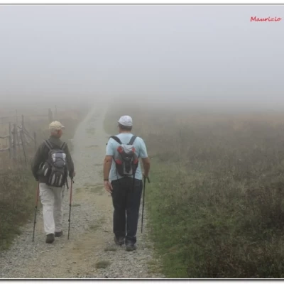
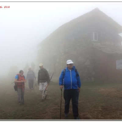
From Pra Riondo (1100 m) we take the Alta Via on the flat and in 30', passing Pian Ferretto, we arrive at an important crossroads, at which we choose to continue straight downhill. Losing altitude, we reach the remains of Case Carbunee (943 m - 25'), where we keep to the left. In 10', you reach the Spinsu spring (dry), at a further crossroads, almost completely enclosed by lush vegetation. We turn left, opening up a gap between not a few difficulties... Now we continue almost flat, taking due care when crossing a few scree slopes. Having almost reached Rif. Leveasso (904 m - 45'), we choose to ascend immediately on the ridge with the path to Passo di Pian di Lerca (1033 m - 15'). We go right and, in 10', reach the Argentea refuge (1080 m) where we stop for a frugal picnic meal, but manage to get a coffee from our friends at the Arenzano CAI... (total time 2h15).
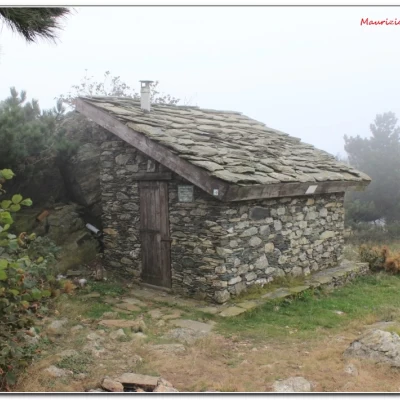
We retrace our steps back to Pian di Lerca and retrace the Alta Via. After 45 minutes, you cross the Cima del Pozzo shelter. We continue with some ups and downs, also important, until we reach the morning crossroads again (1h). Continuing on the Av you return to Pra Riondo (30' - tot. ret. 2h15).
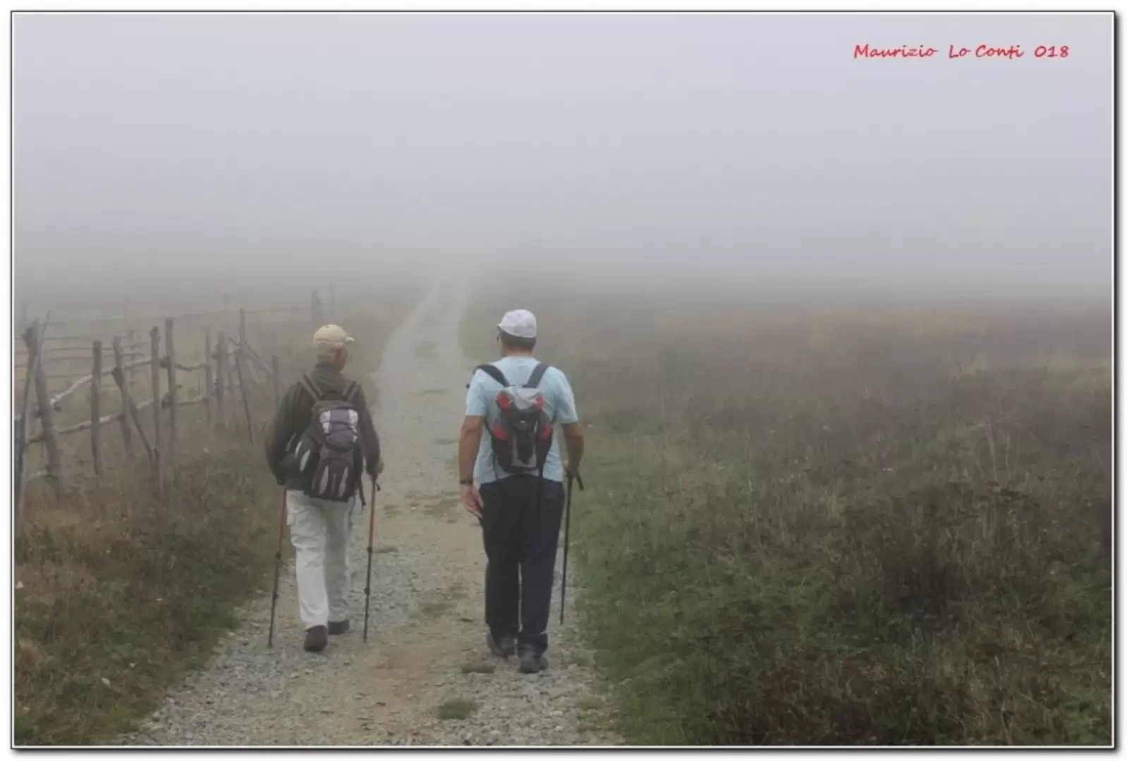
In short: Weather very bad with a lot of fog. E Dif. E - 4h30 Tot - approx. 350 m difference in altitude.
If you wish, here is the photo pdf file, with a little more information:
http://cralgalliera.altervista.org/AnelloPraRiondoRifArgentea018.pdf
http://www.cralgalliera.altervista.org/anno2018.htm
NB: in case of an excursion, always check with FIE, Cai, eventual Park Authority or other Institutions, pro loco, etc., that there have been no changes that have increased the difficulties! No liability is accepted. This text is purely indicative and not exhaustive.
Info Hiking Section Cral Galliera: http://www.cralgalliera.altervista.org/esc.htm
trips 2018 at the link: http://www.cralgalliera.altervista.org/gite2018.pdf
General information
Signposts: Trails with Fie and Cai markings
Trail type:partially circular
Recommended period: May, June, July, August, September, October
Sun exposure:south
Objective Danger:none
Exposed Tracts: none
Useful Equipment:normal daily hiking equipment
Water:
Road Access
Pra Riondo can be reached by car from Varazze and Alpicella. From there you reach the summit of Beigua and continue to the starting point.... While on the way back you can pass by Piampaludo, Chiesa del Dan, Vara inf., Passo Faiallo, Turchino, Voltri.
