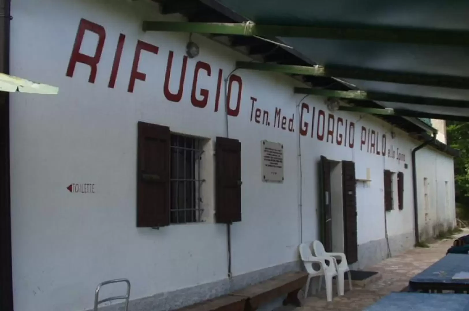
Refuge Pirlo allo Spino, from Palazzo di Archesane

Access
Brescia Ovest exit of the A4 motorway. Continue east along the Tangenziale Sud/SS11 and then on the SS45 bis/Gardesana Occidentale. Leave the turning for Salò on the right, and along the coast of Lake Garda, pass through Gardone Riviera, Fasano and Maderno. After crossing the bridge over the Toscolano stream, take the road to the left for the hamlet of Gaino. Once in Gaino (274m), cross the village and take the small road to the left that climbs the high valley of the paper mills, narrow in the gorge of the Toscolano stream. At the bottom of the valley, we reach the Camerate bridge (300m) and, immediately afterwards, a second bridge, where we cross the Toscolano stream and enter the Archesane valley. The unsurfaced road, which is rather uneven in places, climbs up to the Santella di Persèign (460m) and proceeds to the Maerni crossroads (550m), locally known as "Vìe che spart". We keep to the left and, still on a rough road, proceed along the northern slopes of the Monte+Pizzocolo, to the locality of "il Palazzo di Archesane" (816m), where we park near a lay-by.
.Introduction
The Rifugio Giorgio Pirlo allo Spino, dedicated to Salodiano Lieutenant Doctor Giorgio Pirlo who died in Greece during World War II, is located on a panoramic hillock between Monte Spino and Dosso delle Prade. Due to its easy accessibility, it is one of the most popular shelters in the Brescian Pre-Alps: in fact, it is easily reached from the Valle di Sur, the Valle del Prato della Noce, the Valle di Archesane and the small church of Sant'Urbano. The proposed itinerary starts from "il Palazzo di Archesane", an ancient building, probably dating back to the first half of the 17th century, and the hunting residence of the Delay counts, in the past one of the most important families of the Riviera and a dynasty also famous for having supplied the Serenissima Republic of Venice with the three thousand bombards destined for the victorious battle of Lepanto. The ascent from Valle di Archesane takes place along a dirt road, through dense woodland, on the north-western slopes of Monte Pizzocolo, up to Passo di Spino, then proceeds on a beautiful panoramic balcony to the hut. The Passo dello Spino has long been a natural passage for many migratory birds. Near the pass, in fact, the Regional Ornithological Observatory 'Antonio Duse' of Passo Spino was re-established by the Lombardy Region in 1999. At the observatory, the 'ringing' activity has thus resumed, i.e. the capture of birds followed by measurement and marking and subsequent release, coordinated at European level by EURING (The European Union for Bird Ringing), at national level by INFS (National Institute for Wild Fauna) and at regional level by the Lombardy Region. The first 'ringing' activities were coordinated by Dr. Antonio Duse from 1929 to 1933. In those years, about 7500 finches, 2500 siskins, 2000 bramblings, 1100 crossbills, 900 song thrush and 500 shag sparrows, 200 prispoions and 1200 birds of other species were ringed at Passo di Spino.
.Description
From the car park near "il Palazzo di Archesane" (816m), take the wide dirt track, signpost No. 2, in the first section coinciding with the "Sentiero Forestale Valle di Archesane" (Archesane Valley Forest Path), which climbs up through the pastures. During the ascent, as far as the Doss de Montagnù crossroads, you will come across some information boards on the classification and life of the main tree species in the area. We then enter the forest, which, given the particular climatic conditions and soil potential of the Archesane Valley, has a particularly complex structure with trees of good stature. One ascends, quite steeply, walking among tall trees marked, often, by the corresponding information boards, namely: Beech (Fagus sylvatica L., in the local dialect "Fó"), Mountain Maple (Acer pseudoplatanus L., in the local dialect 'Acer dé mut'), Mountain Elm (Ulmus glabra Huds., in the local dialect 'Ulem'), Greater Ash (Fraxinus excelsior L., in the local dialect 'Fràsen') and Black Hornbeam (Ostrya Carpinifolia Scop., in the local dialect 'Carpen'). As you ascend through the dense woodland, you leave the signpost for the "Sentiero Forestale Valle di Archesane" on the right at Doss de Montagnù (1080m), which, after a wide circle, descends just before "il Palazzo di Archesane". A few more minutes' walk and you reach Passo di Spino (1160m, 0h50'), right near the ornithological observatory, with Rifugio Pirlo already in view and, in the background, Monte Spino, Marmera and Monte Forametto. We turn right, leaving to the left the track, marker [5], for Monte Pizzocolo and the paths for Colomber and "il Pirello", markers [1] and [8]. We proceed, amidst some wartime ruins, along a wide dirt track with several boards illustrating the activities of the ornithological observatory. We leave a variant to the left for the Pirlo Refuge, pass by a rocky outcrop, often used as a rock gym for instruction and training, indicated locally as "Via Ferrata Ernesto Franco", and reach a panoramic grassy knoll. To the right of a modest grassy hump is the 'Sentiero dei Ladroni' (Thieves' Path), right near the 'Casel de l'Uselí' (Birdcage) of the Gardesana Occidentale Regional State Forest. A few more minutes and you leave to the right the track for "Cima Spino - Dorsale Sud Est", marker No. 4, and "Passo Fobbiola, Cav. della Fobbia, Val Degagna", marker No. 3]. After a couple of minutes, you pass an alpine chapel and soon afterwards you reach the Giorgio Pirlo hut at Spino (1165m, 1h00'). The return is along the same route taken during the ascent. We return to Passo di Spino (1160m, 0h10') and descend, on the left, into the woods of the Valle di Archesane to "il Palazzo di Archesane" (816m, 0h50').
.