Refuge des Anges, from Menthieu

Edited by:
Ivano Ruffoni
Updated at: 09/09/2024
Access
Dalla barriera dell'autostrada di Aosta-Ovest, tenere la sinistra seguendo le indicazioni per Aosta - Saint-Pierre. Dopo un chilometro, alla rotonda, prendere la seconda uscita per immettersi sulla Strada Statale . Proseguire per 4,3 chilometri, superando l'abitato di Saint-Pierre, fino a raggiungere una rotonda con l'effige del Parco Nazionale del Gran Paradiso. Prendere la prima uscita e continuare sulla per altri 4,2 chilometri fino ad arrivare ad Arvier e alla rotonda dedicata al ciclista Maurice Garin. Prendere la seconda uscita e proseguire su Via Corrado Gex fino a Leverogne, a un chilometro di distanza. Alla biforcazione, tenere la sinistra e imboccare la Strada Regionale . Risalire per 15,8 chilometri, superando il capoluogo di Valgrisenche, fino a raggiungere il villaggio di Bonne. Proseguire sulla stretta strada comunale per altri 1,4 chilometri risalendo la vallata sulla sinistra orografica fino ad incontrare il villaggio di Menthieu. Sulla sinistra si trova un piccolo parcheggio 🅿️dove è possibile lasciare l'auto.
[0h45'] - [30,5km]
Come arrivarci con GMaps
Come arrivarci con Apple Maps
Le indicazioni fornite sono state verificate con attenzione alla data di rilevamento dell'itinerario. Tuttavia, si consiglia vivamente di controllare eventuali variazioni intervenute successivamente, soprattutto riguardo al percorso di accesso al punto di partenza. Prima di intraprendere il viaggio, è opportuno consultare strumenti di navigazione aggiornati per ottenere indicazioni stradali precise e attuali. Raccomandiamo l'utilizzo di app per la navigazione satellitare, come Google Maps o Apple Maps, per garantire la massima accuratezza e sicurezza del tragitto.
Introduction
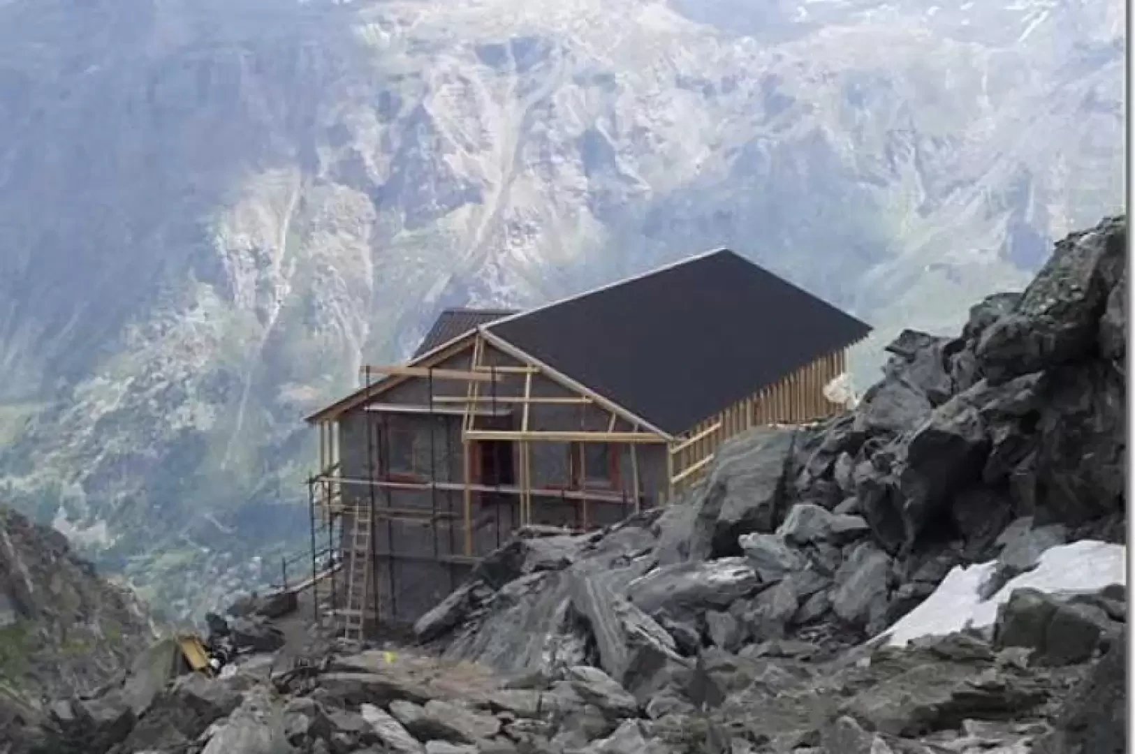
The Rifugio Scavarda, a former military shelter and base for the ascent to the Tête du Rutor, was destroyed by fire on 17 August 1990 (it is currently being rebuilt and is scheduled to be inaugurated in September 2005). The ascent to the hut is, in the first part, along an easy dirt track, in the middle part in the beautiful comba descending from the Testa del Rutor and in the final part on easy moraines. The hut, dedicated to Clea Scavarda, a 26-year-old victim of an avalanche that fell on 19 February 1936, is also an excellent vantage point over the peaks that close Valgrisenche to the south.
Description
Returning to the junction for the dirt track (approx. 1872m), climb up to the turnoff for Alpetta. Keep to the left and you will soon be at Alpe Botza (1940m). With wide views over the head of the Valgrisenche valley, between numerous hairpin bends, climb up to the grassy slopes of the Meillares huts (2161m). A little further on, on the left, the track for Lake San Grato crosses and, after a wide bend to the right, we reach Arp Vieille (2200m, 0h55'), where the track ends. Between the rocks, high up, the Rifugio Scavarda is already clearly visible. Continue winding over meadows until reaching the Cap. Crova military shelter (2430m, 1h20'), known locally as the Plan du Bré shelter. Passing by a small lake, continue along the plateau and then turn right towards the rocks that close the Morion glacier to the south. During the subsequent ascent, to the south, the Gliairetta glacier, the final head of the Valgrisenche, is clearly visible. Climb up the moraine, traverse a short stretch that is generally snow-covered even in late summer, cross a small saddle and reach the Scavarda hut (2912m, 2h45') on the right, which can be reached on the descent with a view of the Morion lakes below. From the hut's forecourt, there is a magnificent panorama, to the south, from Grande Traversière to Grande Sassière (or Gliairetta), while to the south-east, beyond the Val di Rhêmes, the Gran Paradiso rises up. The return is along the same route as the outward journey.
.We have been there

Edited by:
monique
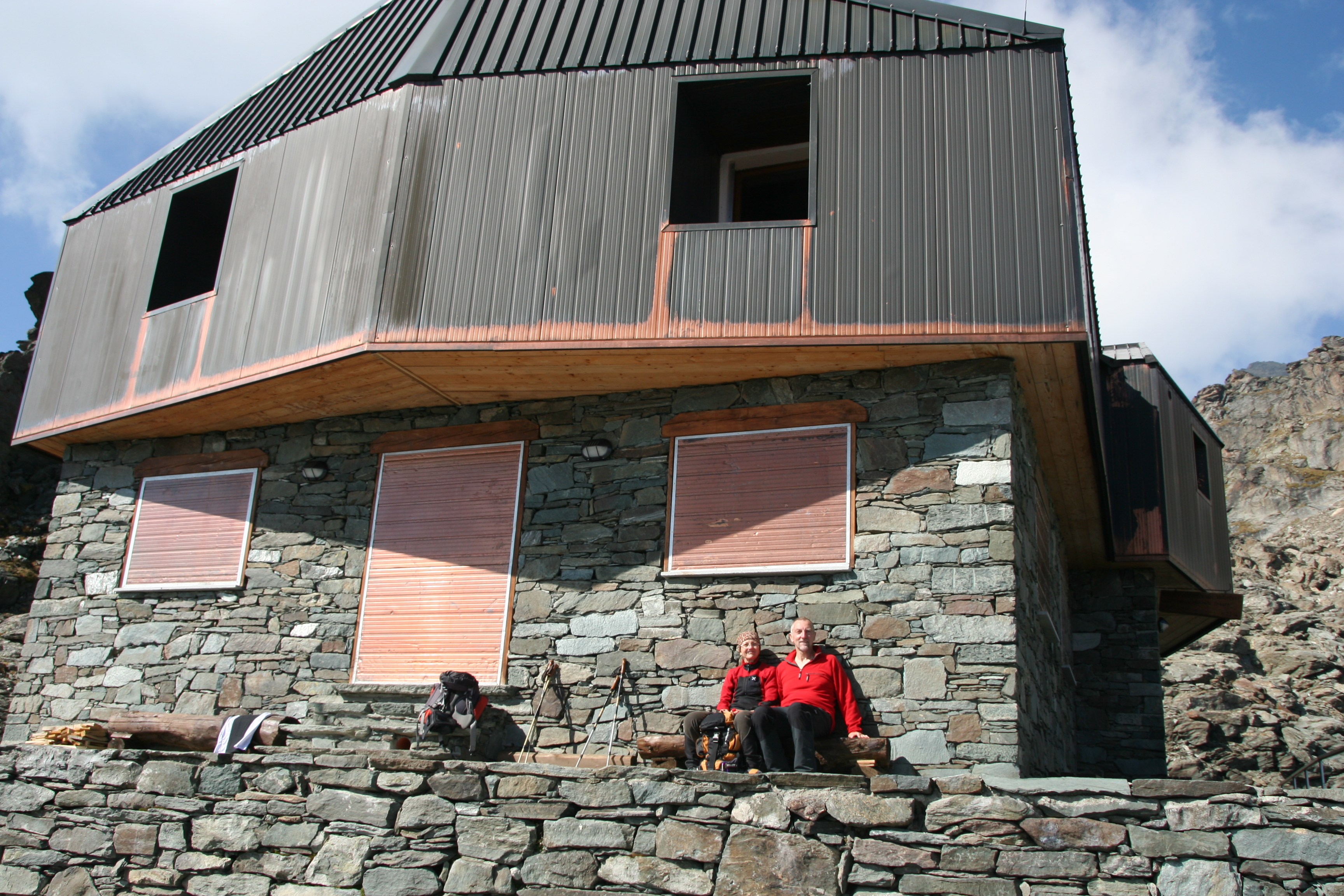
Rifugio degli Angeli
Immagine del rifugio completato, inaugurato l'anno scorso con il nome di "rifugio degli angeli"
Edited by:
Ermanno Panara
Rifugio Degli Angeli
percorso ad anello parziale. Posto magnifico, poi una gita fatta il lunedì ha un gusto particolare.