Mandrone Refuge

Edited by:
Ivano Ruffoni
Updated at: 09/02/2025
Access
From the Brescia Ovest exit of the A4 motorway, follow the SS237 towards Madonna di Campiglio to Tione and then the SS239 to Pinzolo and then Carisiolo; from Carisiolo, drive along the Val di Genova, past the Nardis waterfalls and the Stella Alpina refuge. At times, along the road, you will come across various access points to the Cascate path, which runs along the orographic right of the Sarca river, the tributary of Lake Garda. In the vicinity of the Rifugio Stella Alpina, access to the narrow asphalt road at the bottom of the valley is regulated or only permitted by the convenient shuttle bus. Sometimes, in the final part of the valley, entry (and exit) by car is tolerated as long as it is wheeled by the shuttle. In this case, plan your transit by observing the shuttle's passing times. You park, if by car, in the large square near the Malga Bedole (1584 m).
Introduction
The hike, entirely in the Adamello Brenta Nature Park, is one of the classic approach stages to Monte Mandrone, the Lobbie and the Adamello. Along the trail, the tragic events of the First World War are relived.
.Description
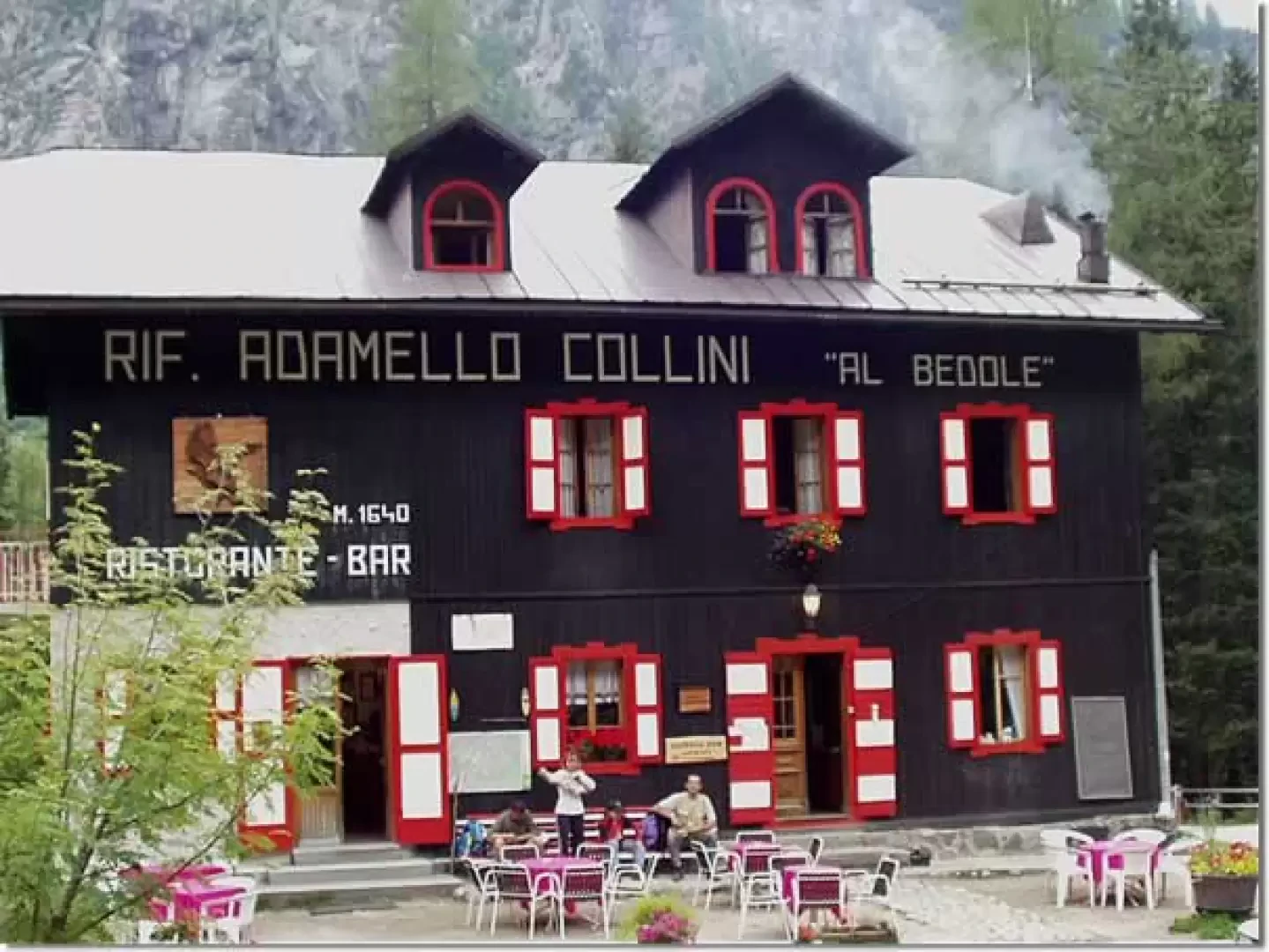
Following the dirt track, in a few hairpin bends, we reach the Rifugio Adamello Collini "al Bedole" (1640 m). From the clearing of the refuge, to the right of a small stone and wood church, continue along the steep path of the Ronchina stream and, after dozens and dozens of hairpin bends in the forest, you reach the narrow Crozzetti bridge (2253 m), where you cross the "Migotti" track no. 220.
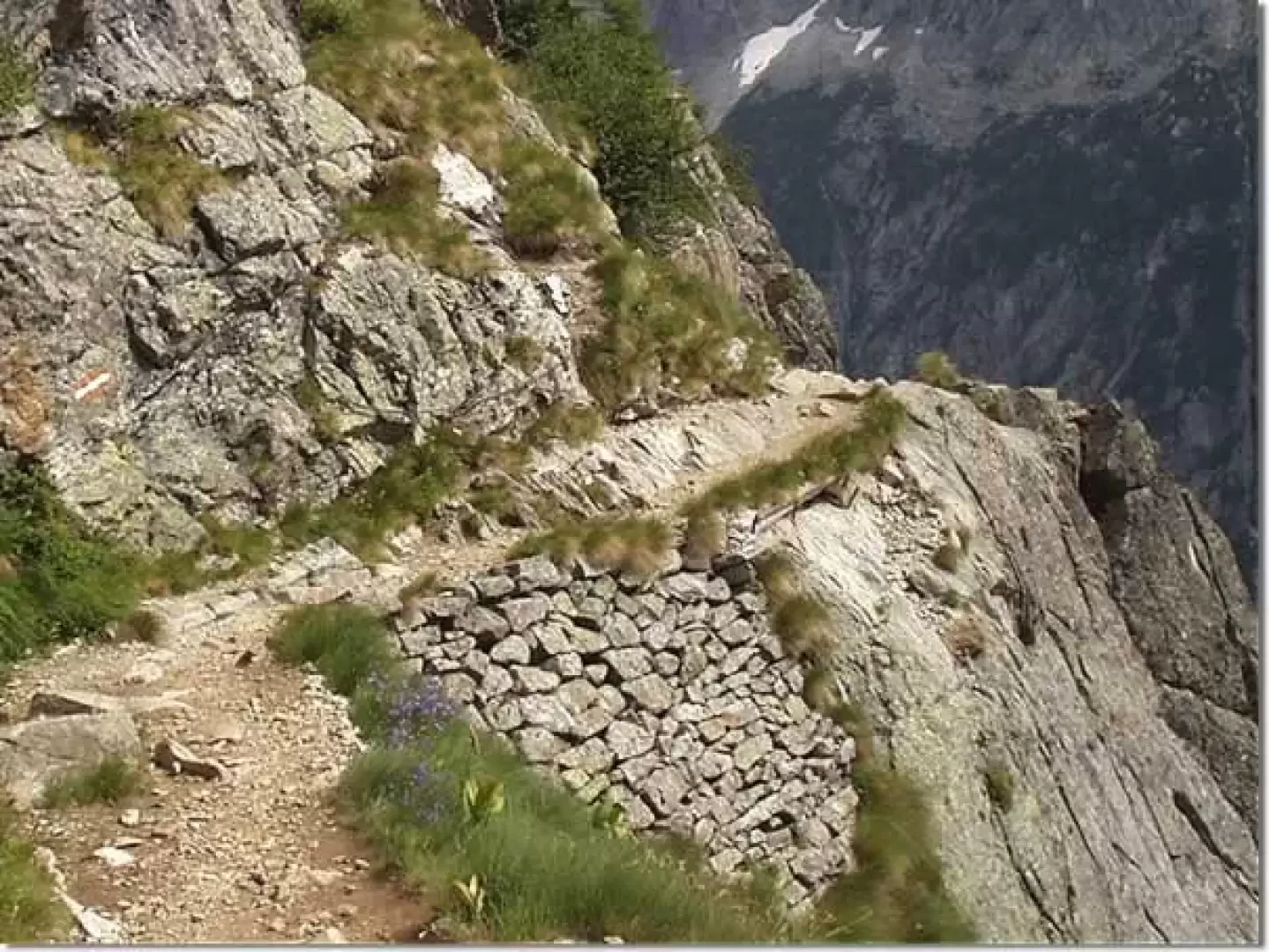
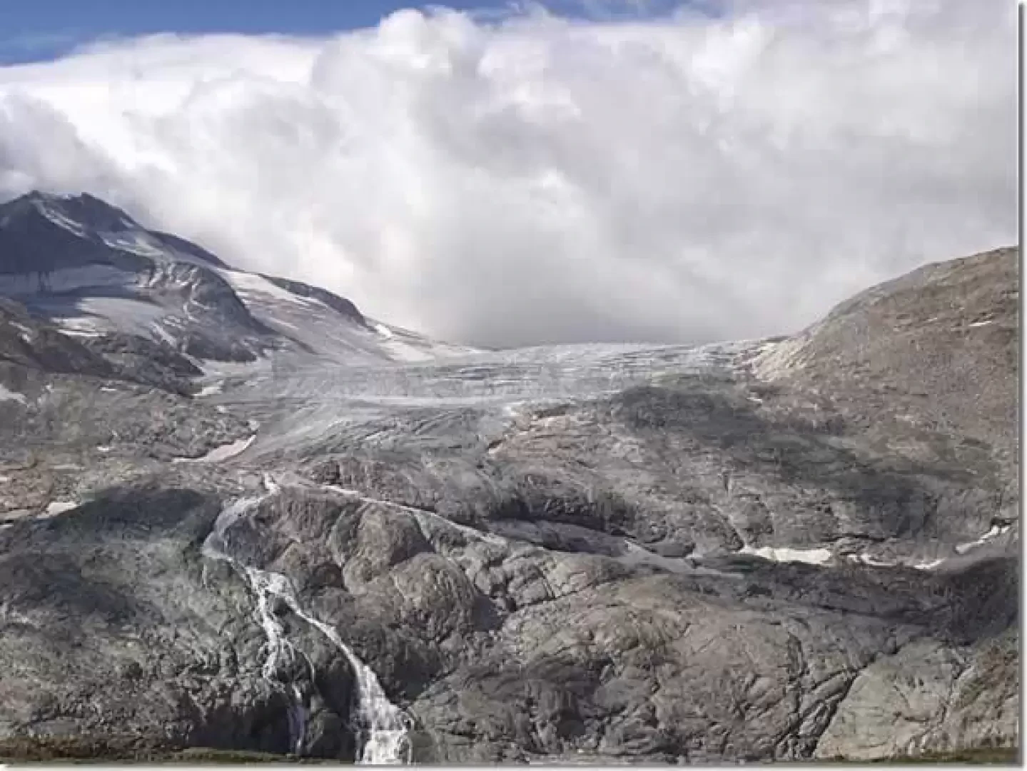
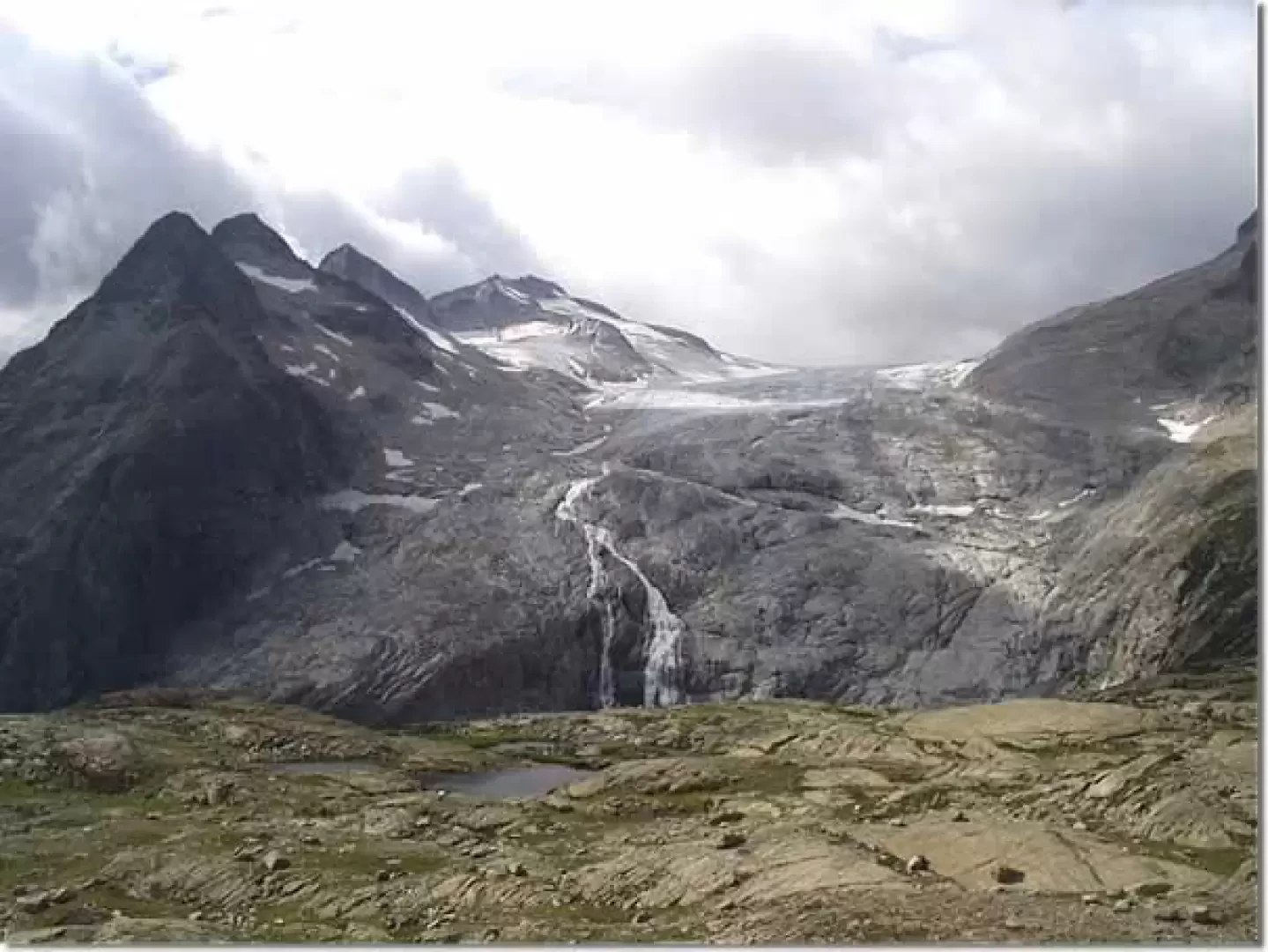
The path, now with a lesser gradient, crosses some narrow ledges that are not very exposed (stretches with fixed ropes). Behind you there is a view of the Presanella glacier, while to the left you begin to glimpse the final part of the Mandrone glacier.
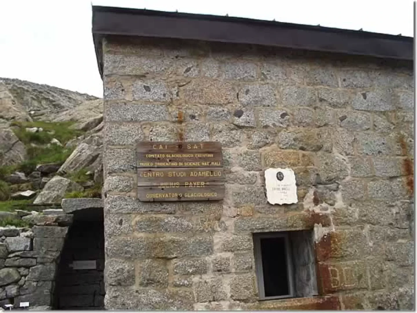
Halfway up the hillside you come to the old Mandrone hut, an Austrian base during the Great War, now renamed the "Centro Studi Adamello Julius Payer" and used as a glaciological observatory. Inside there is a plastic model of the area and many informative and illustrated glaciological tables.
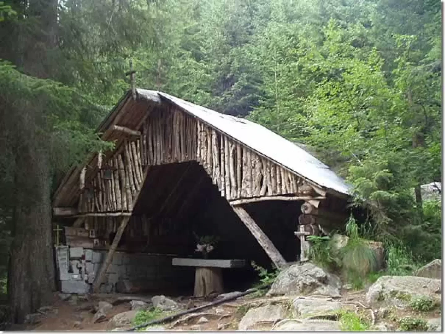
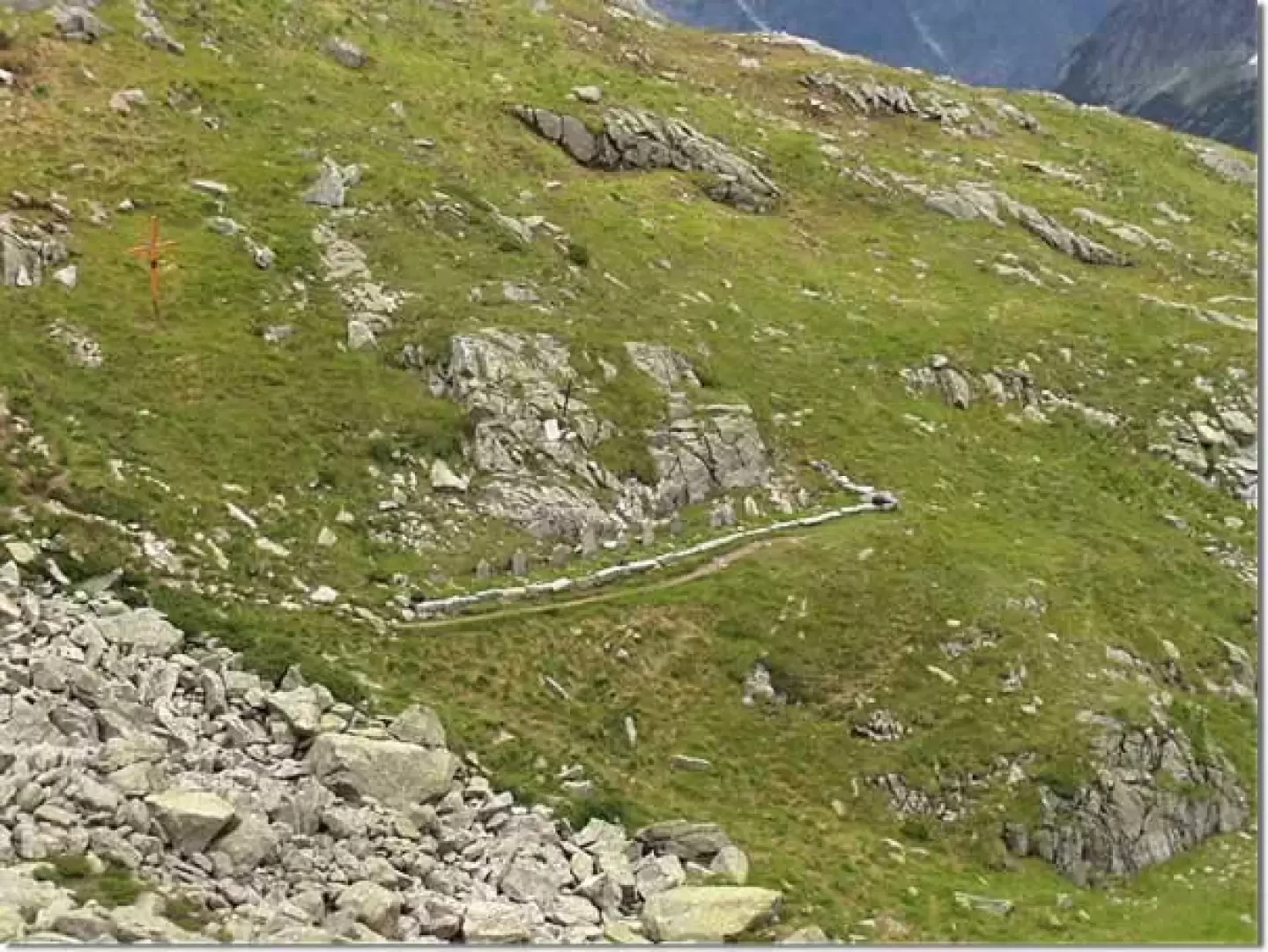
At about 2400 m, on the left, the remains of a war cemetery can be glimpsed, bearing witness to the dramatic fighting of the First World War between Italians and Austrians. The gravestones are simple slabs of rock, almost all anonymous, erected and carved by survivors in honour and memory of their deceased comrades. A visit is a must.
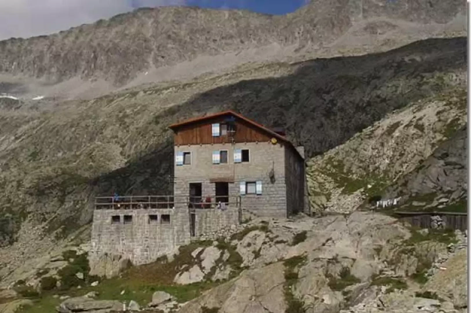
A gentle ascent leads to the new Rifugio Mandrone "Città di Trento" (2449 m), a reference point for climbs in the area.
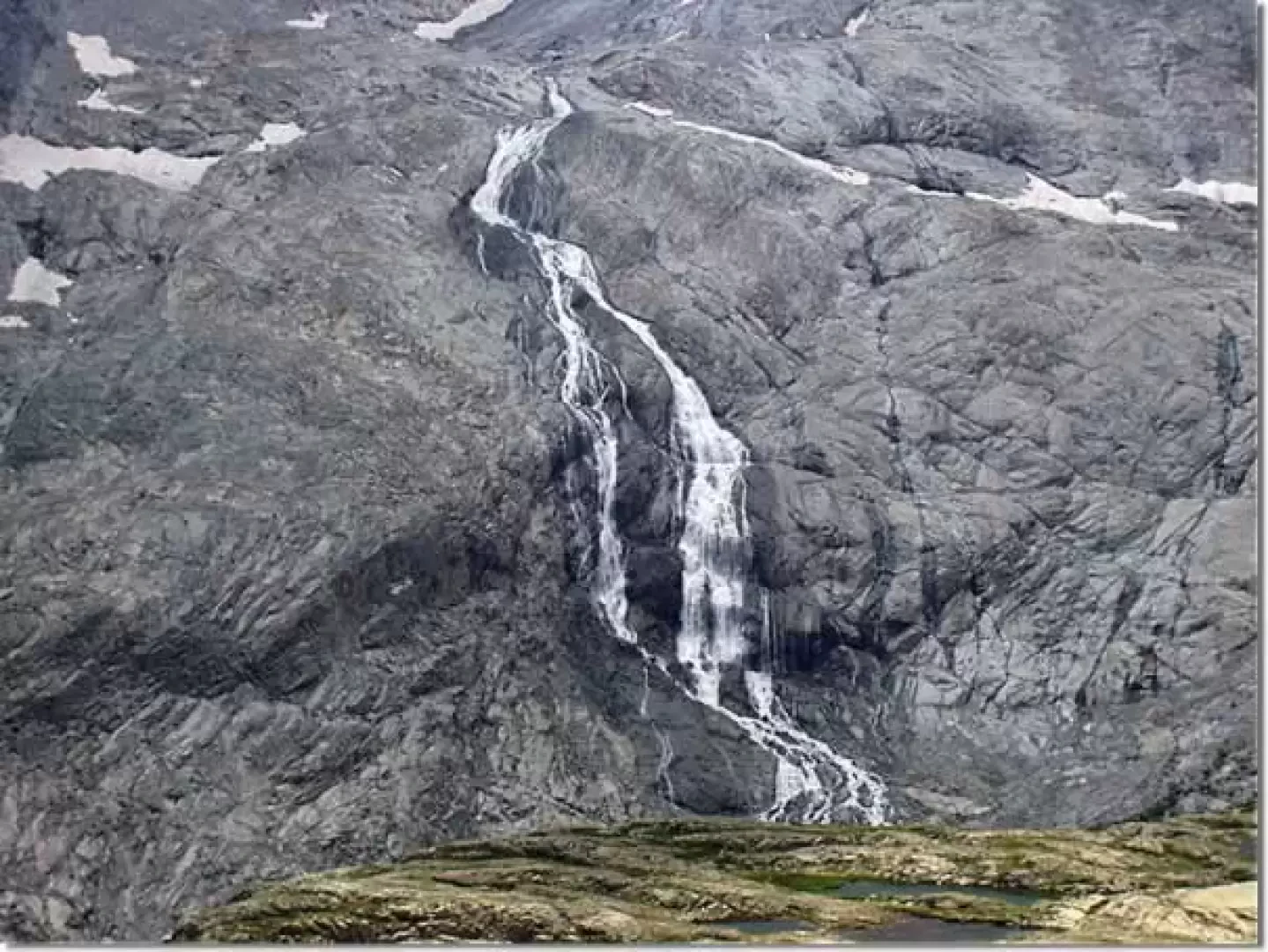
From the refuge's balcony, there is a splendid view of the Lobbie (3196 m), Monte Mandrone (3,281 m) and the waterfall that rises from the vedretta above and pours into a recently formed lake (and for this reason known as Lago Nuovo). Other small lakes surround the hut.
The descent is by the same route.
Galleria fotografica