Garelli Refuge

Edited by:
Nino Malavenda
Updated at: 12/01/2026
Introduction
Description
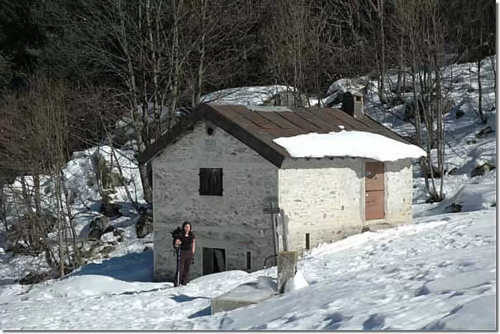
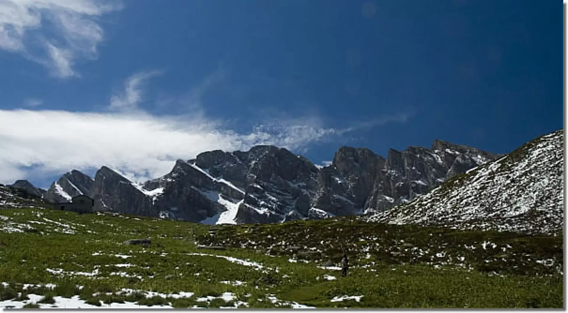
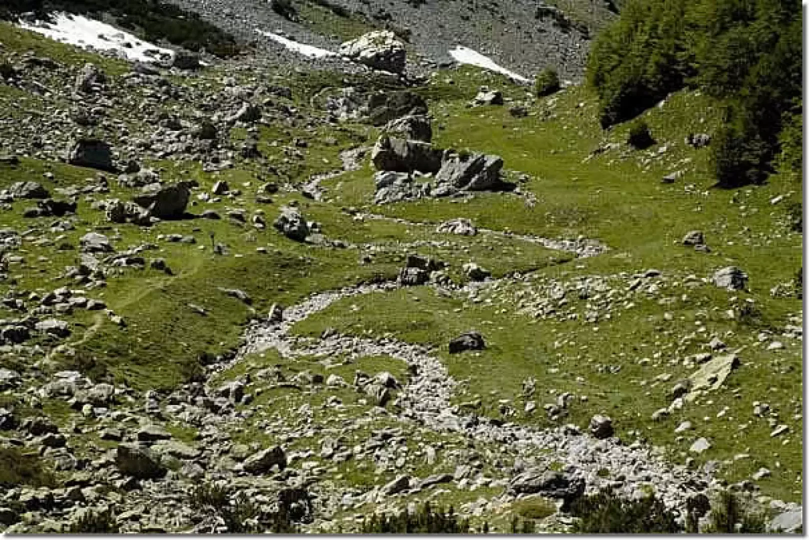
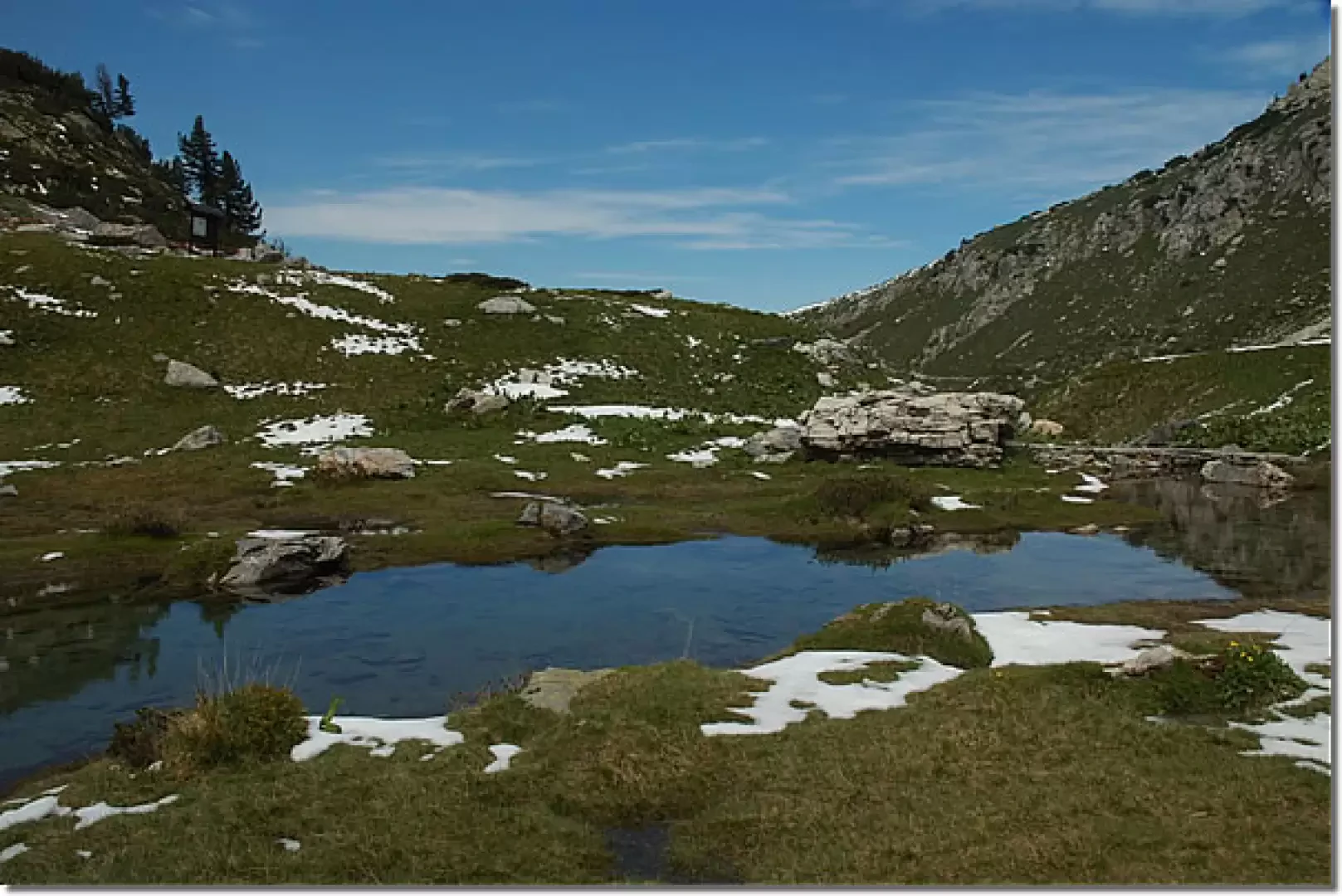
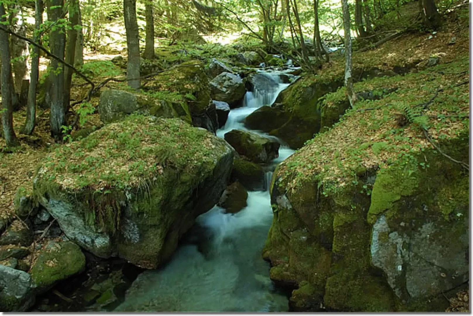
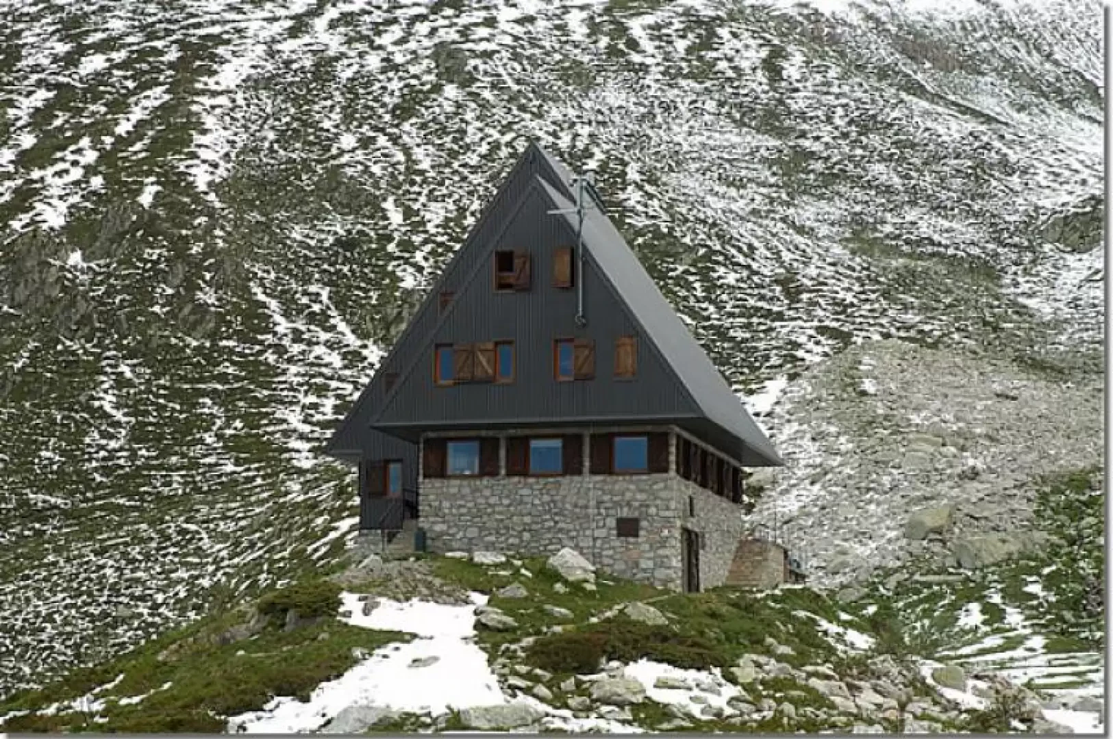
From Pian delle Gorre, take a dirt road that climbs up a moderate slope on the left and reaches an open space from where the path starts, climbing steeply through the wood to Gias Sottano di Sestrera (1331 m). From here, you leave the track that goes towards the Vallone del Marguareis on the right (path from which we will return), and climb further into the wood, reaching Gias Soprano di Sestrera (1842 m). From Gias Soprano you can see the very modern structure of the Piero Garelli Refuge (1970 m), which is reached by a final climb. From the hut, take the path that leads to the small Marguareis lake and from the lake descends to the Gias Sottano di Sestrera, crossing enchanting and wild views. The outward path takes you back to Pian delle Gorre
General information
Trail signposts:
Type of route:
Recommended period of time:
Exposure to the sun:
Objective Danger:
Exposed Tracts:
Useful Equipment:
Water:
Bibliographical References
Maritime and Ligurian Alps, Sheet 8, scale 1:50.000, Central Geographical Institute
Galleria fotografica